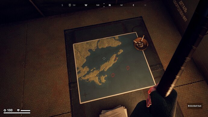
When the landing-zones were introduced we could find a map at Landing zone Anya.
Like always I documented this and other maps found.
This is how the map looked then
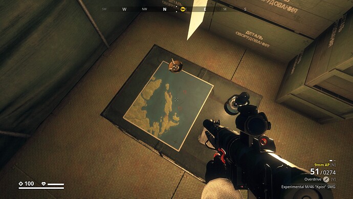
Today however, I was at the landing-zone Anya, and I noticed that a white piece of paper was floating over the map, which immediately drew my attention. Then I saw text on the map that I couldn’t read. Additionally, there were 4 red circles, instead of three on the original map. The map has been changed with the Recon or Dark Skies update.
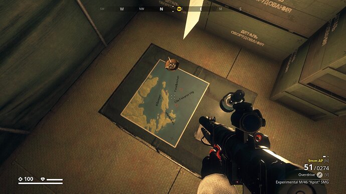
This map has 4 circles and text. Readable with PVG scope.
I took the liberty to make the text readable on the map below, and they happen to be street names of Östervik (and suburbs).
- Forellbacken
- Olle Fiskares Väg
- Vintergatan
- Måsvägen
Some circles are drawn in the sea, and Street names which have no relevance to Archipelago at all. So what do you think?
What devious plot is being hatched? ![]()
![]()


