Thanks. I just used Google translate to conjure up a nice sounding name for those Vapenkassun. I don’t seem to be able to edit those old posts anymore. The option to edit is no longer there.
4 Likes
Route 9: Signs, Signs and even more Signs
Signs on Civilian Workplaces - Click here
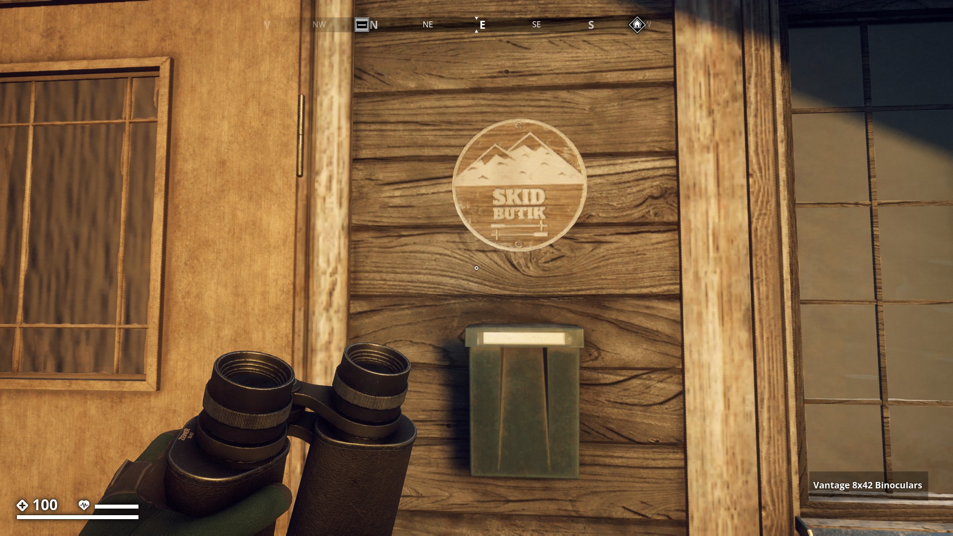
Skid Butik (Ski Shop)
▼
Health Center
▼
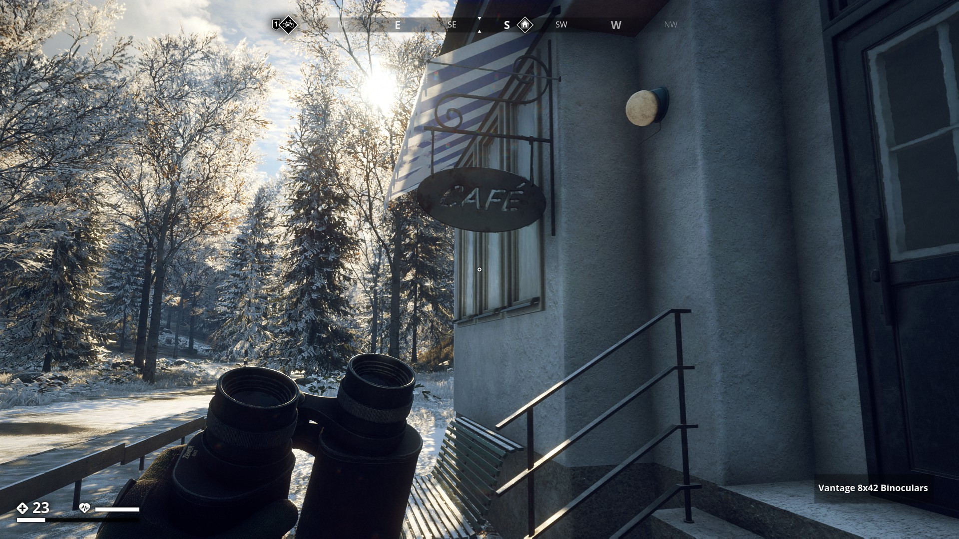
Café
▼
Tobacco & Games
▼

Three star Hotel
▼

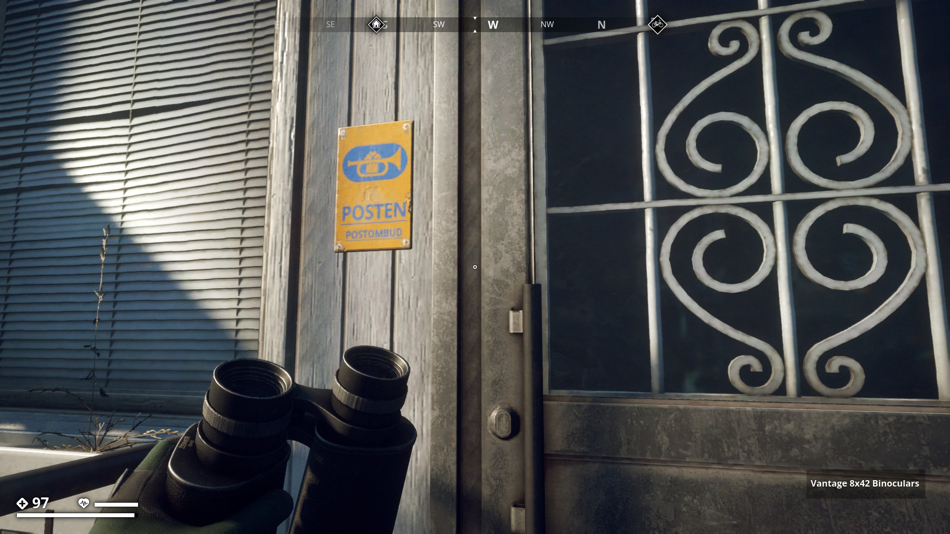
Post Office
Posten (The Mail)
Postombud (Postman)
▼
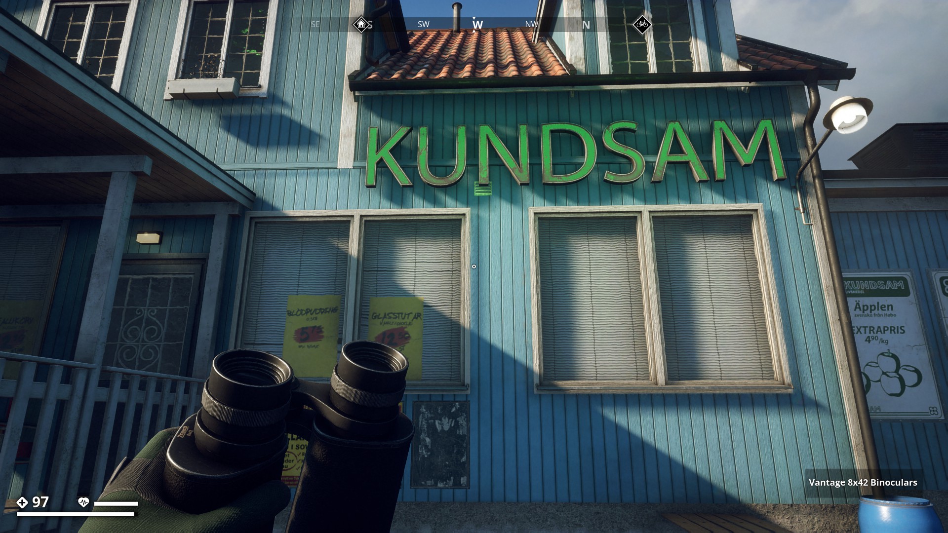
Supermarket
▼
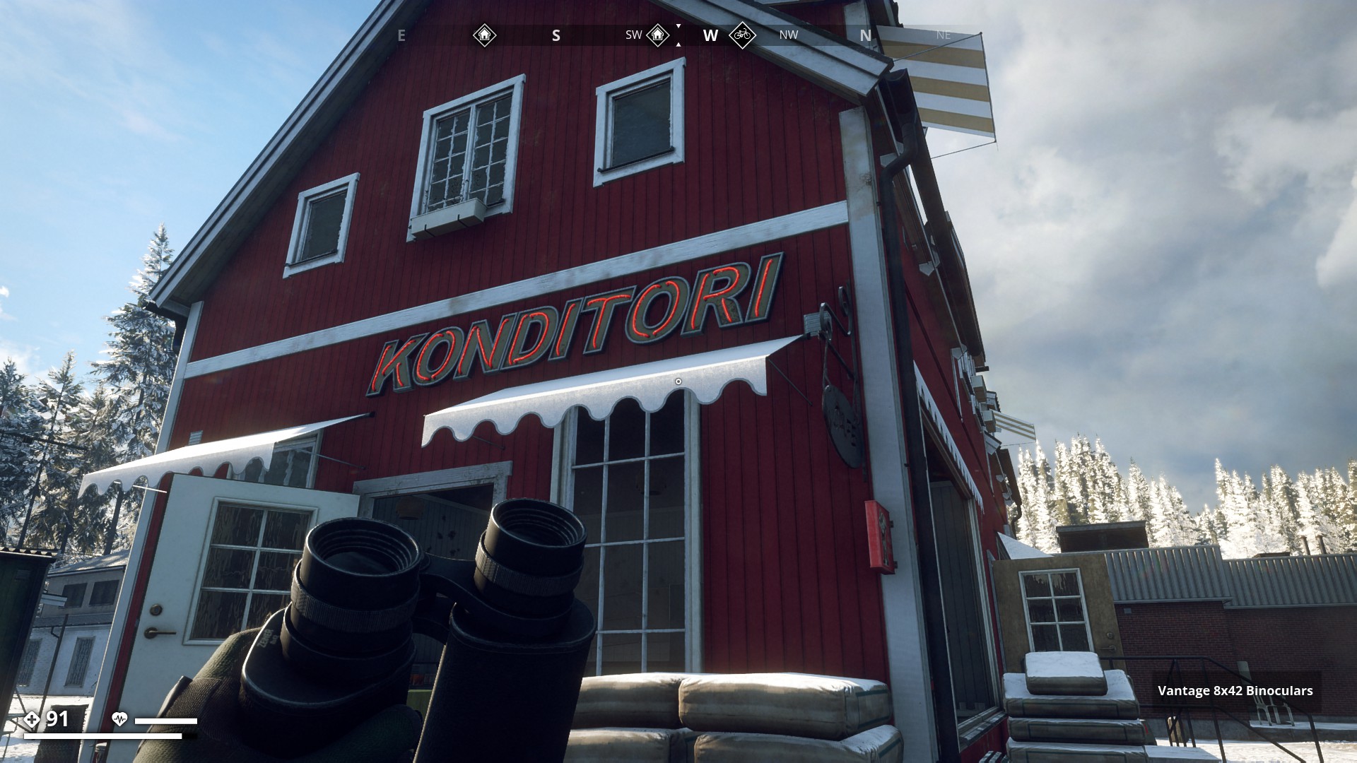
Konditori (Confectionery / Patisserie)
▼
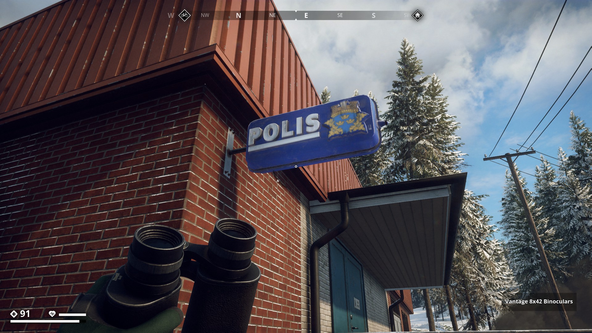
Police Station on Himfjäll
▼
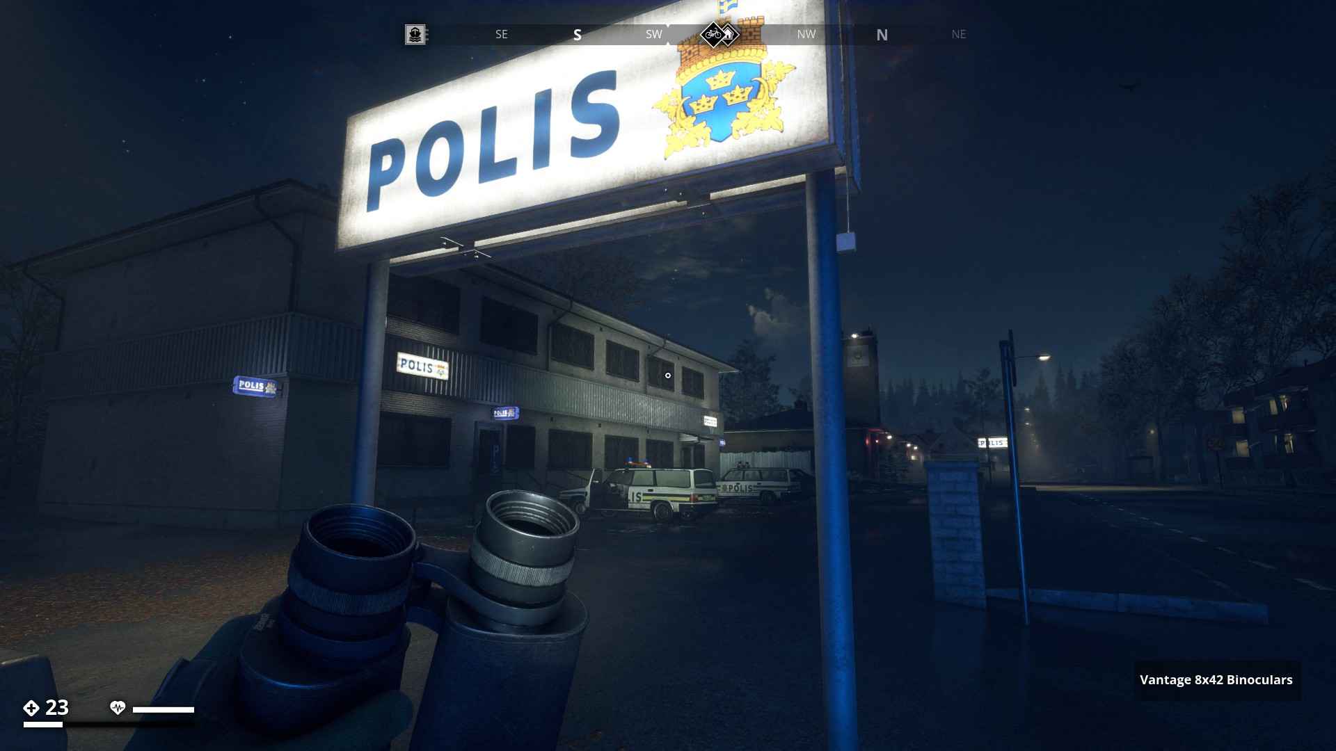
Police Station on Östertörn at night
▼
ACA (Grocery)
▼

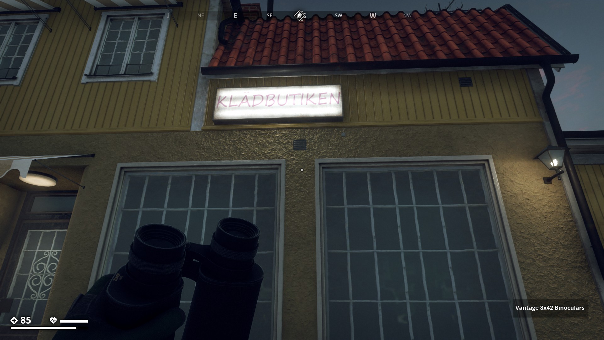
Clothes Shop
▼
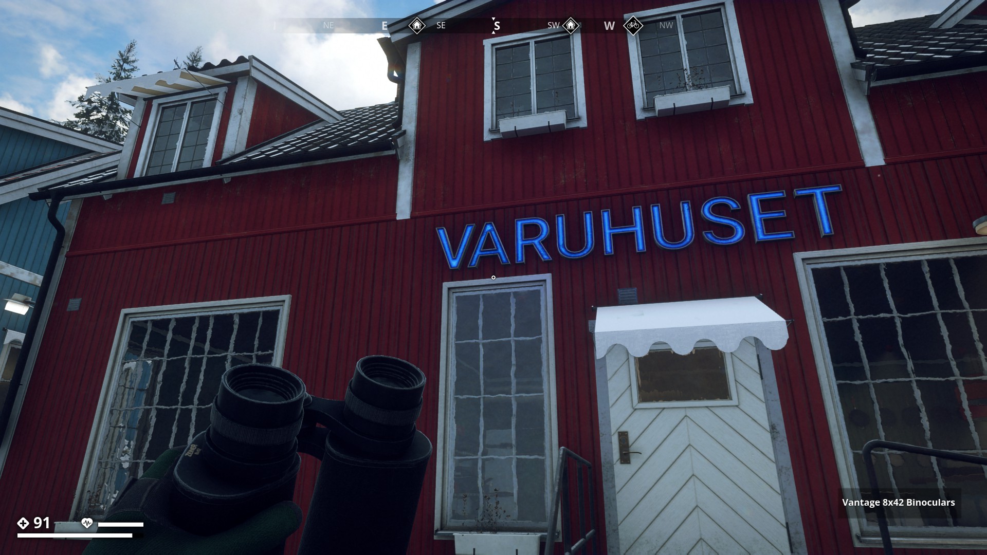
Varuhuset (Kitchenware shop)
▼
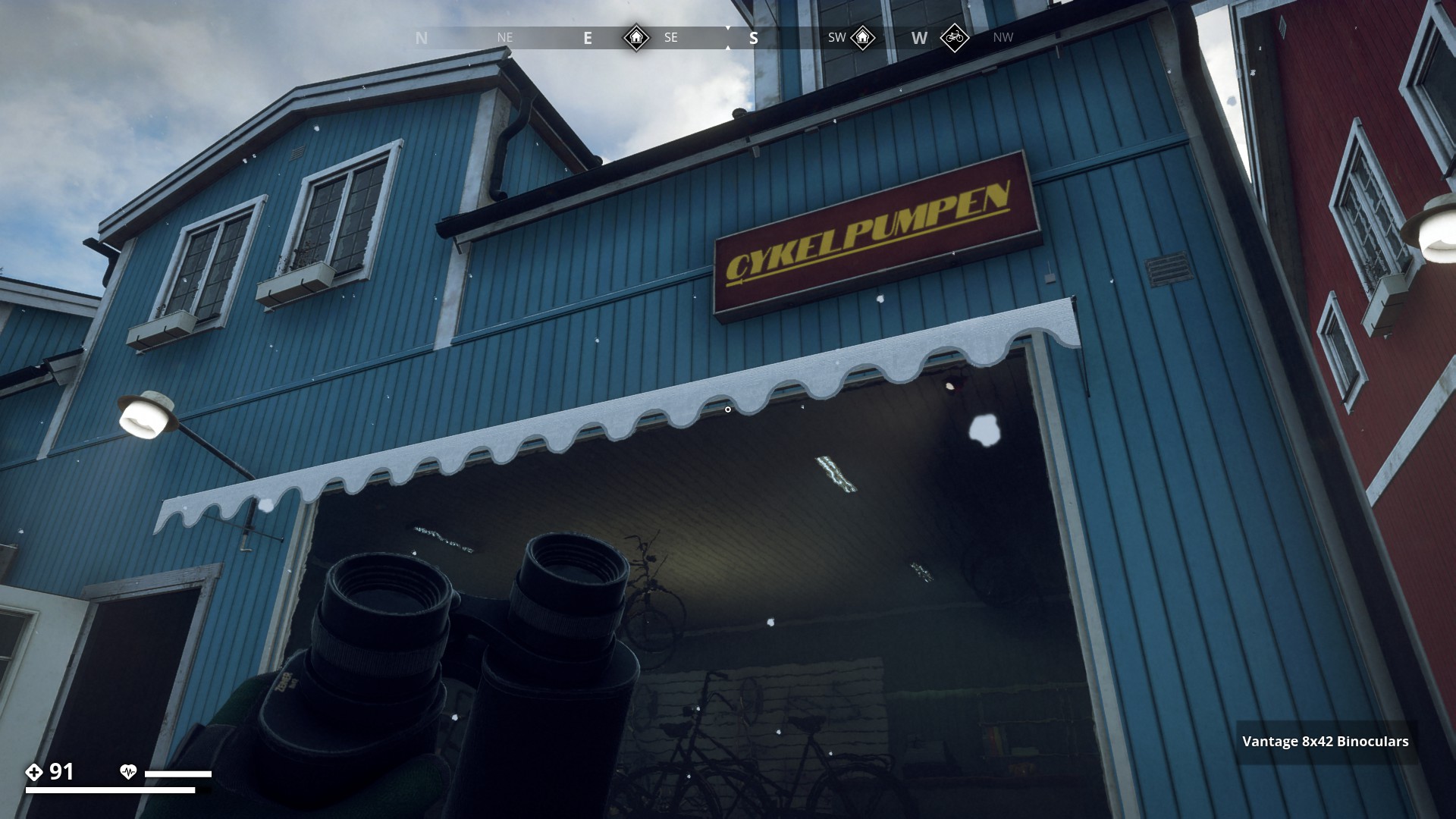
Bicycle Shop
Cykelpumpen (Bicycle Pumps)
▼
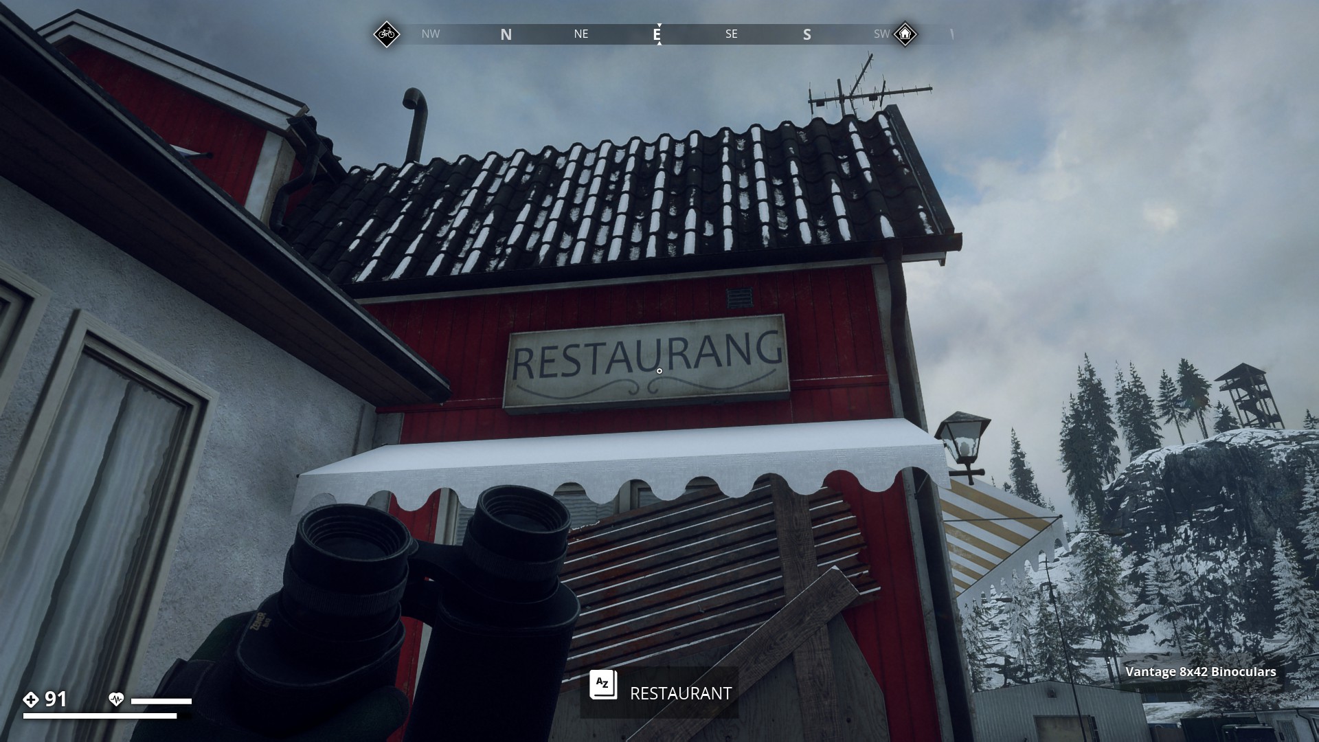
Restaurant
▼
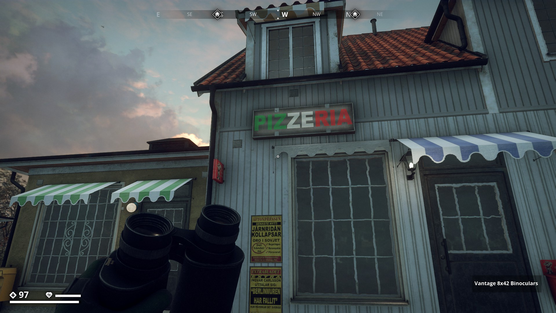
Pizzeria
▼
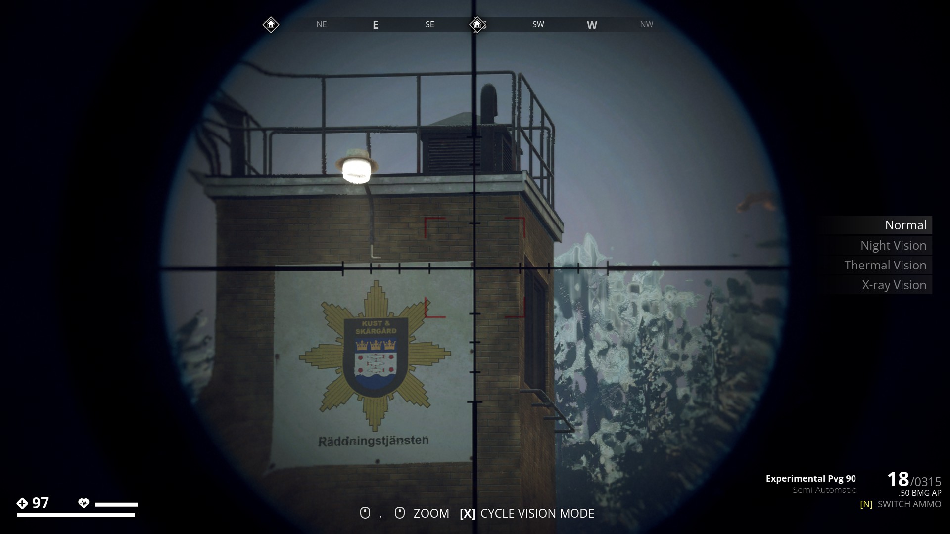
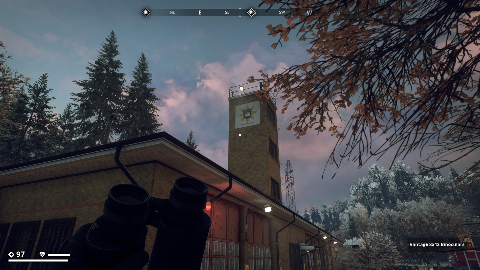
Fire Station
Close-up Fire Station shield
Kust & Skärgard Räddningstjänsten
Coast & Archipelago Emergency Services
▼
▼
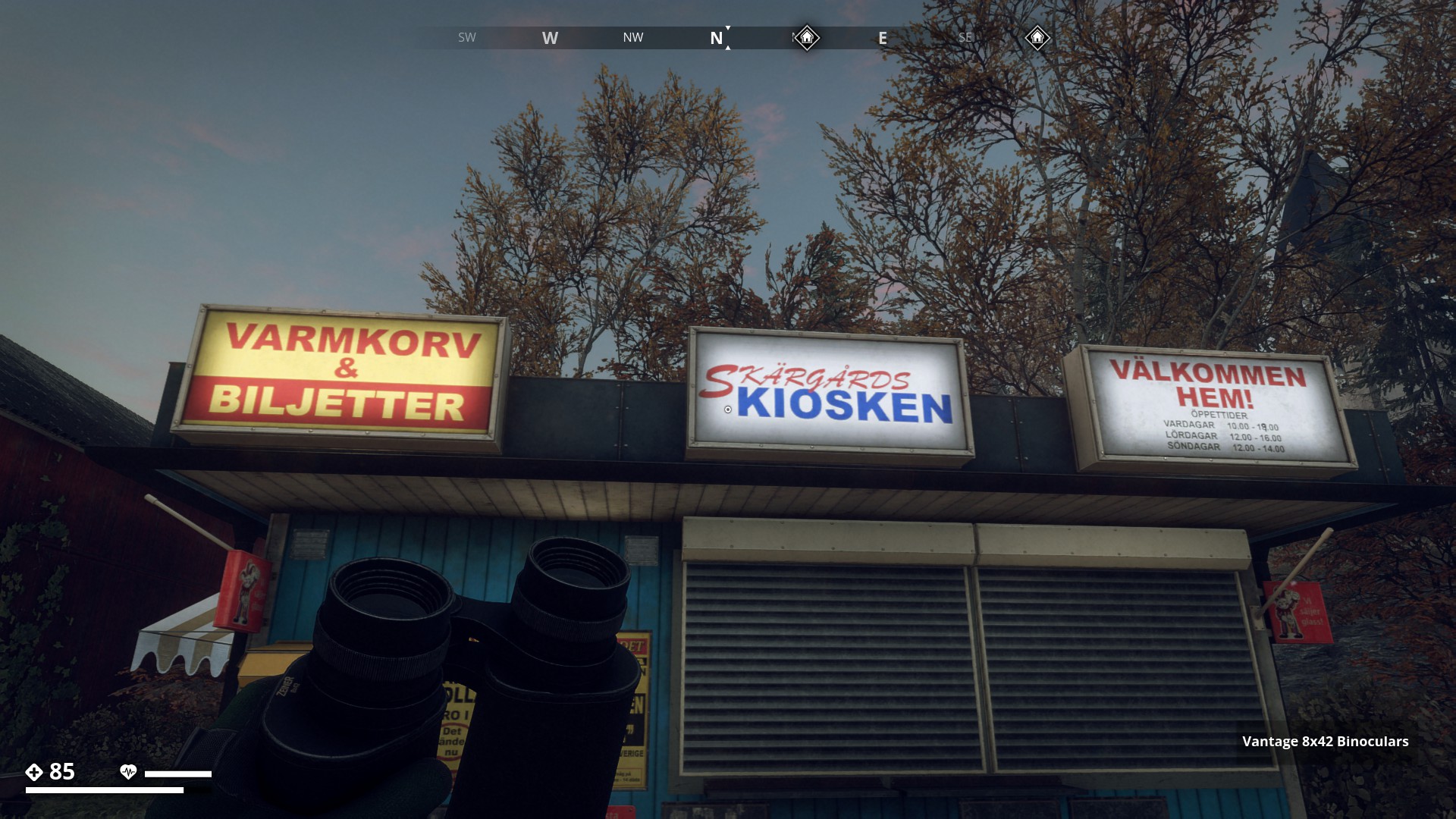
Skärgårds Kiosken (Archipelago Kiosks)
Kiosk Text translations
* Varmkorv & Biljetter (Hot Dog & Tickets)
* Välkommen hem! (Welcome home!)
     Öppettider (Opening Hours)
     --------------------------------------
     Vardagar   (Weekdays)    10:00 - 18:00.
     Lördagar   (Saturdays)   12:00 - 16:00.
     Söndagar   (Sundays)     12:00 - 14:00.
     ▼
▼
Benso Gas Station
▼

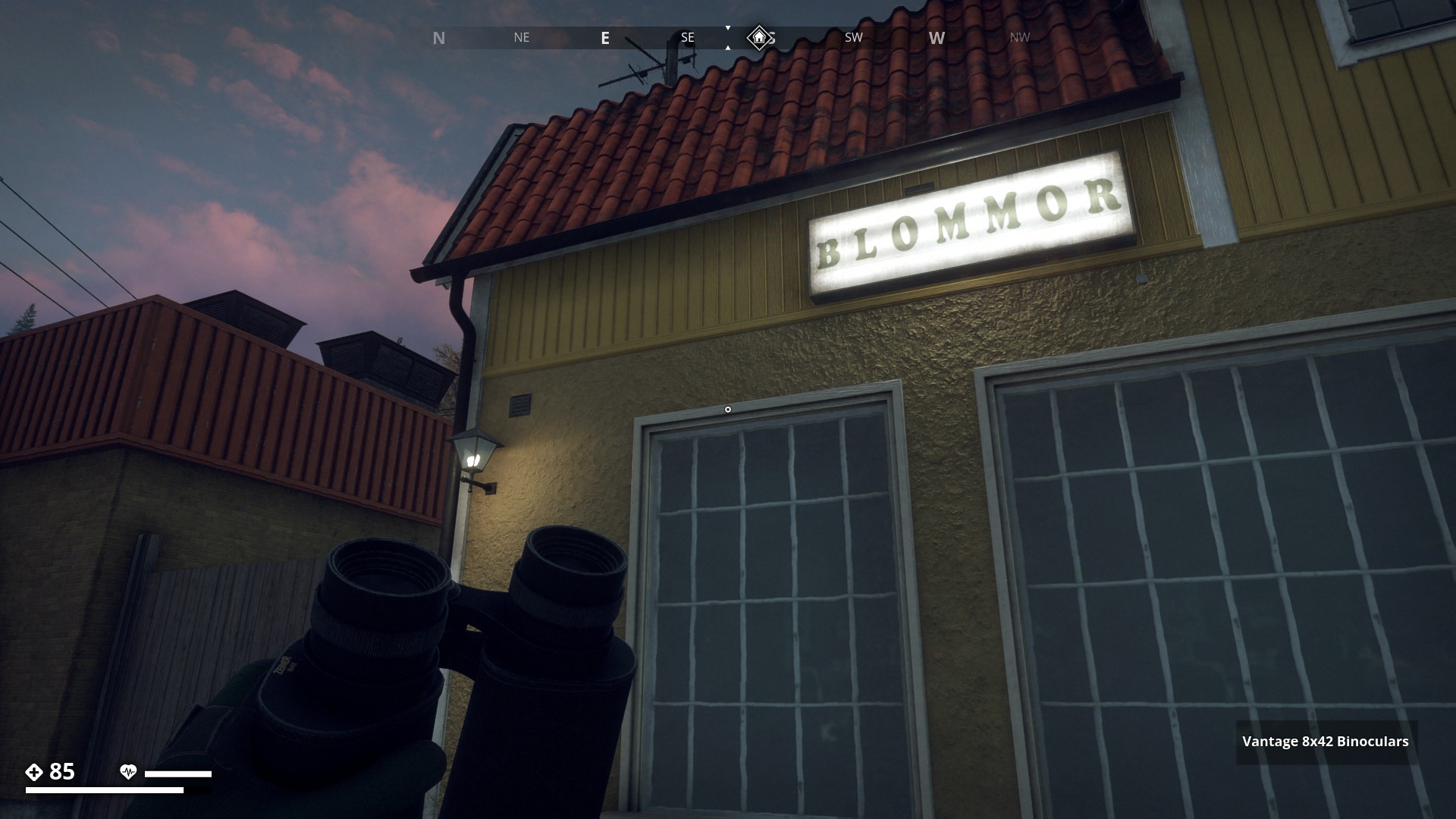
Florist
Blommor (Flowers)
▼
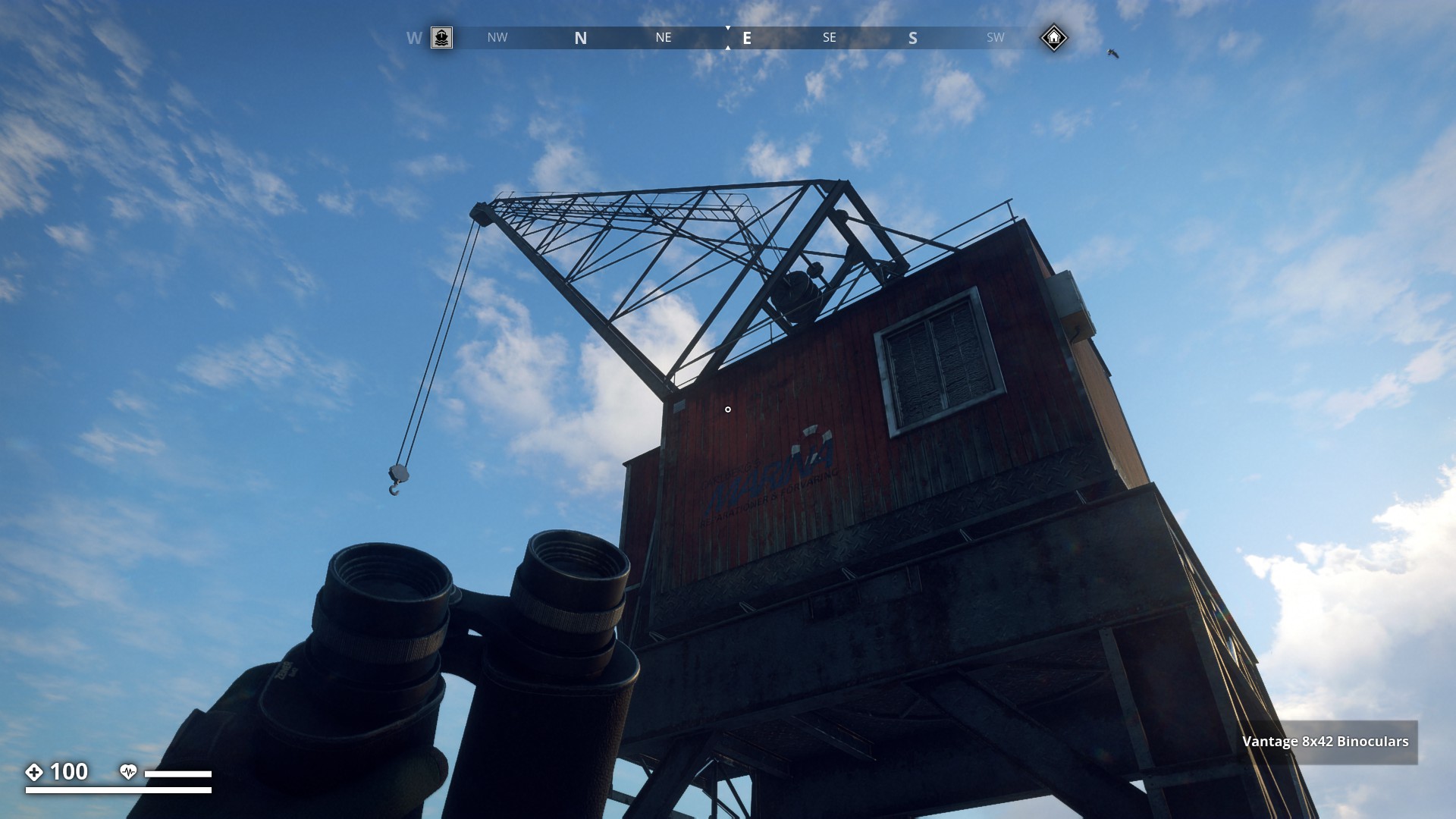
Carlberg's Marina Reparationer & Förvaring
(Carlberg's Marina Repairs & Storage)
▼
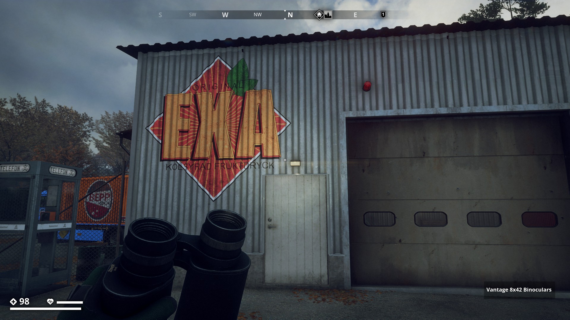
Original EXA
Kolsyrad Fruktdryck (Carbonated Fruit Drink)
▼
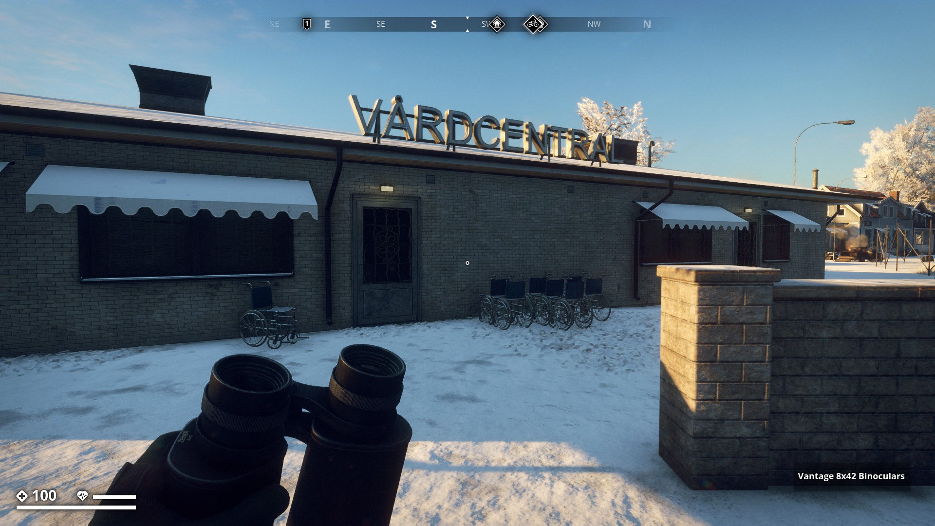
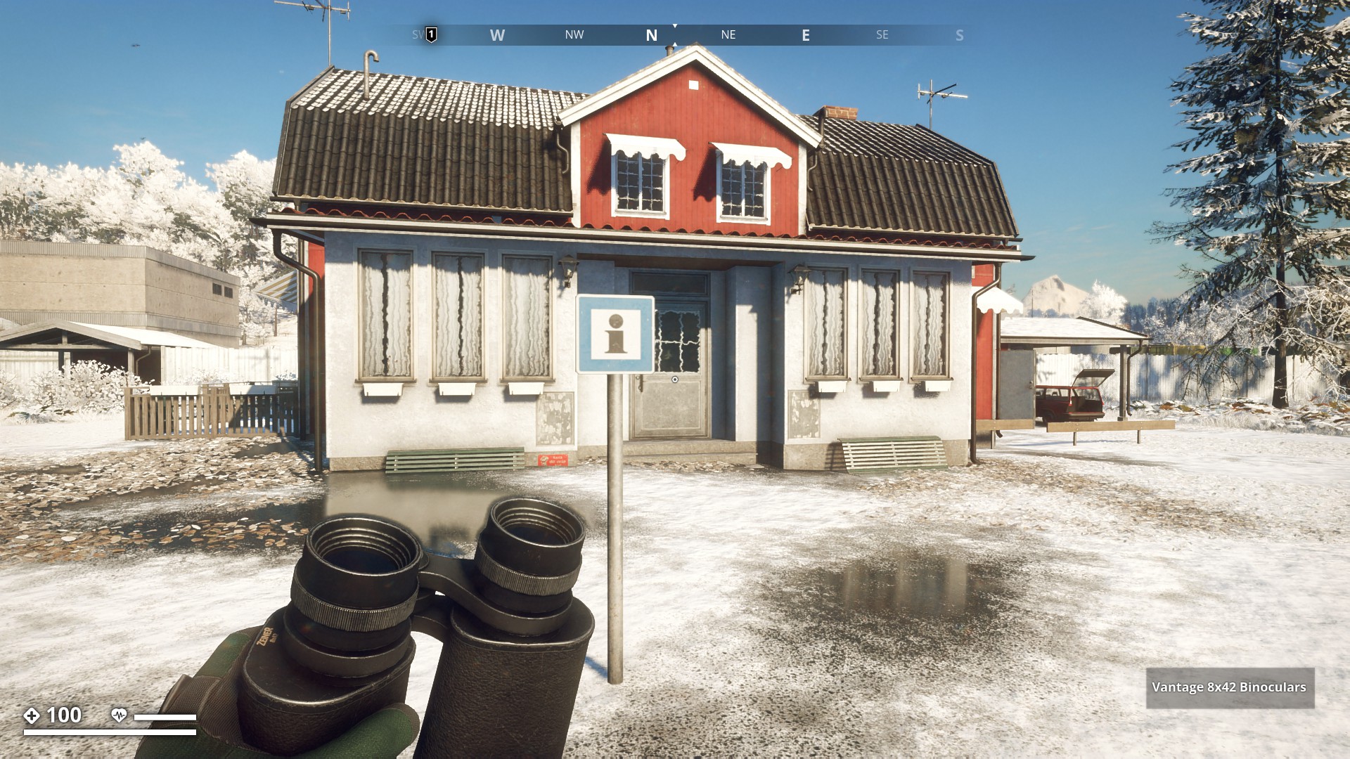
Vårdcentral in Markbacken
▼

Road Signs - Click here
![]()
Information
▼
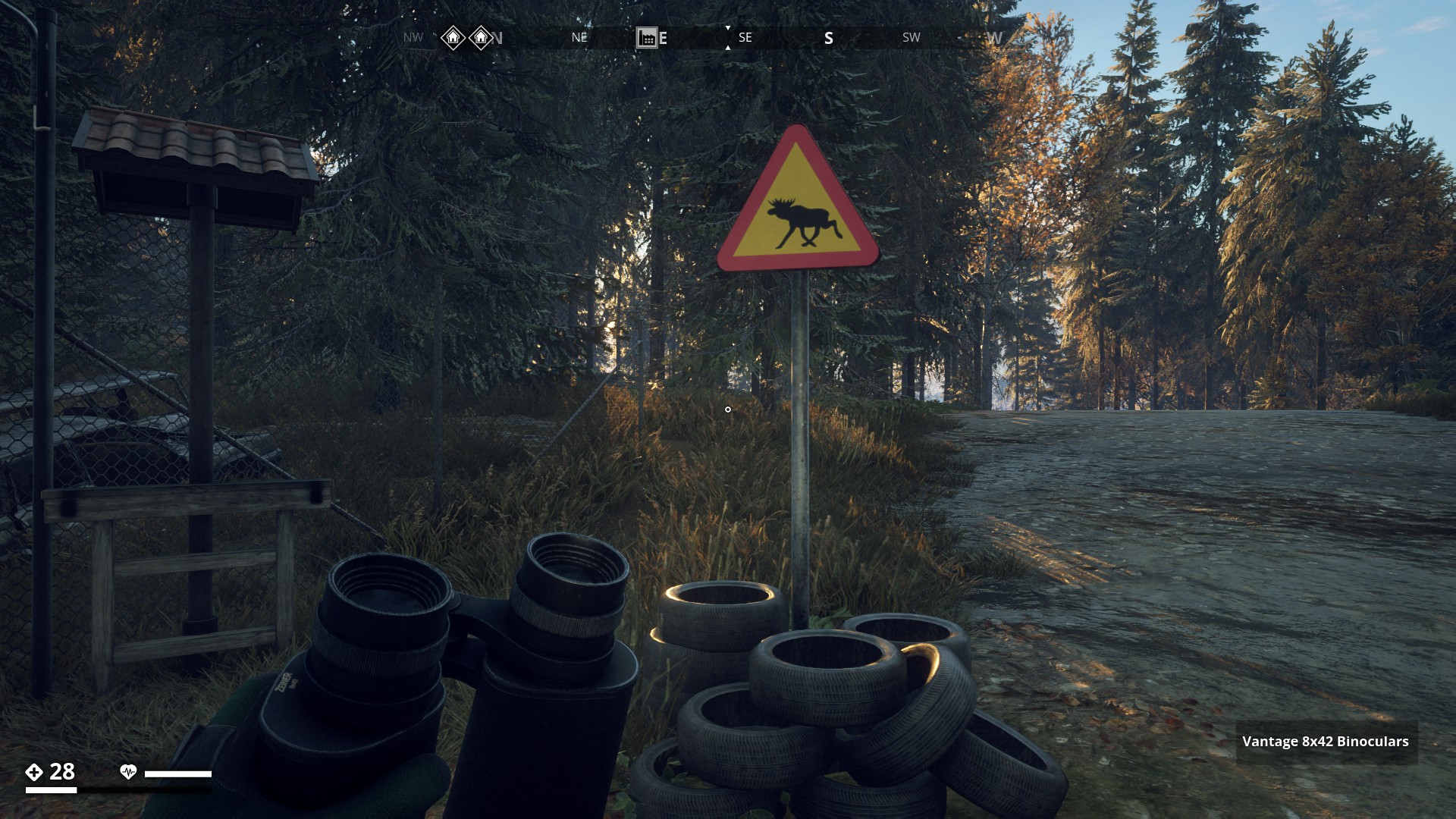
Warning Moose
▼
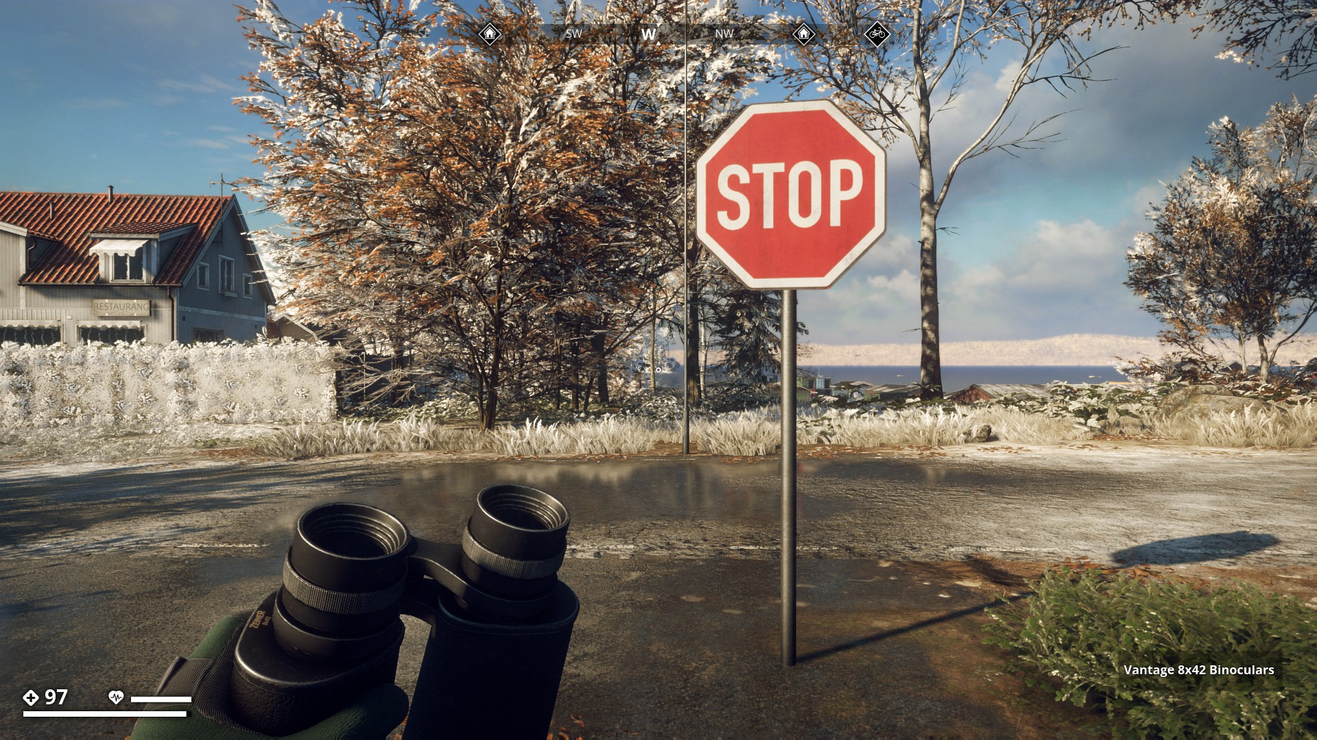
Stop Sign
▼
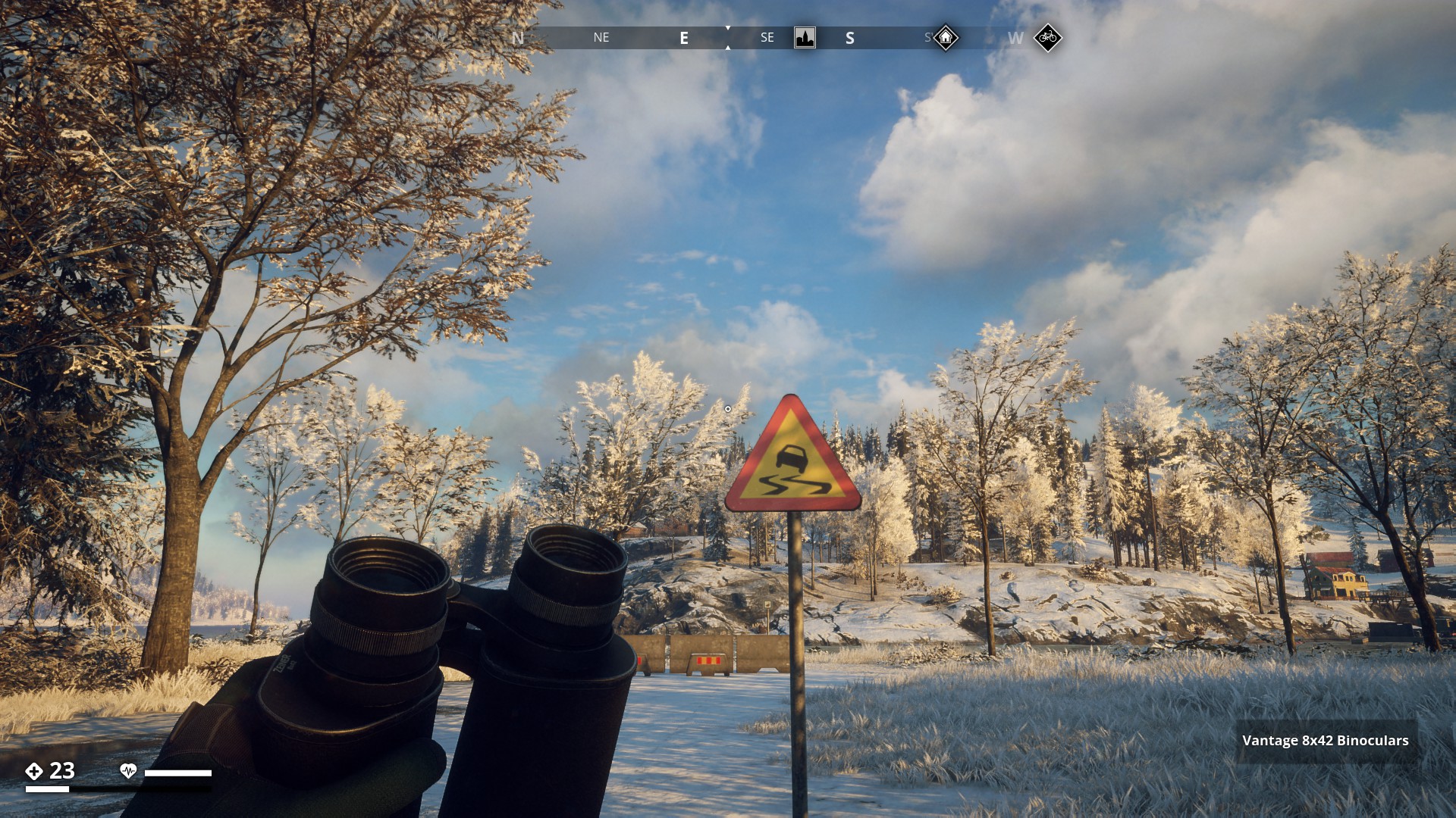
Slippery Road
▼
No parking!
▼

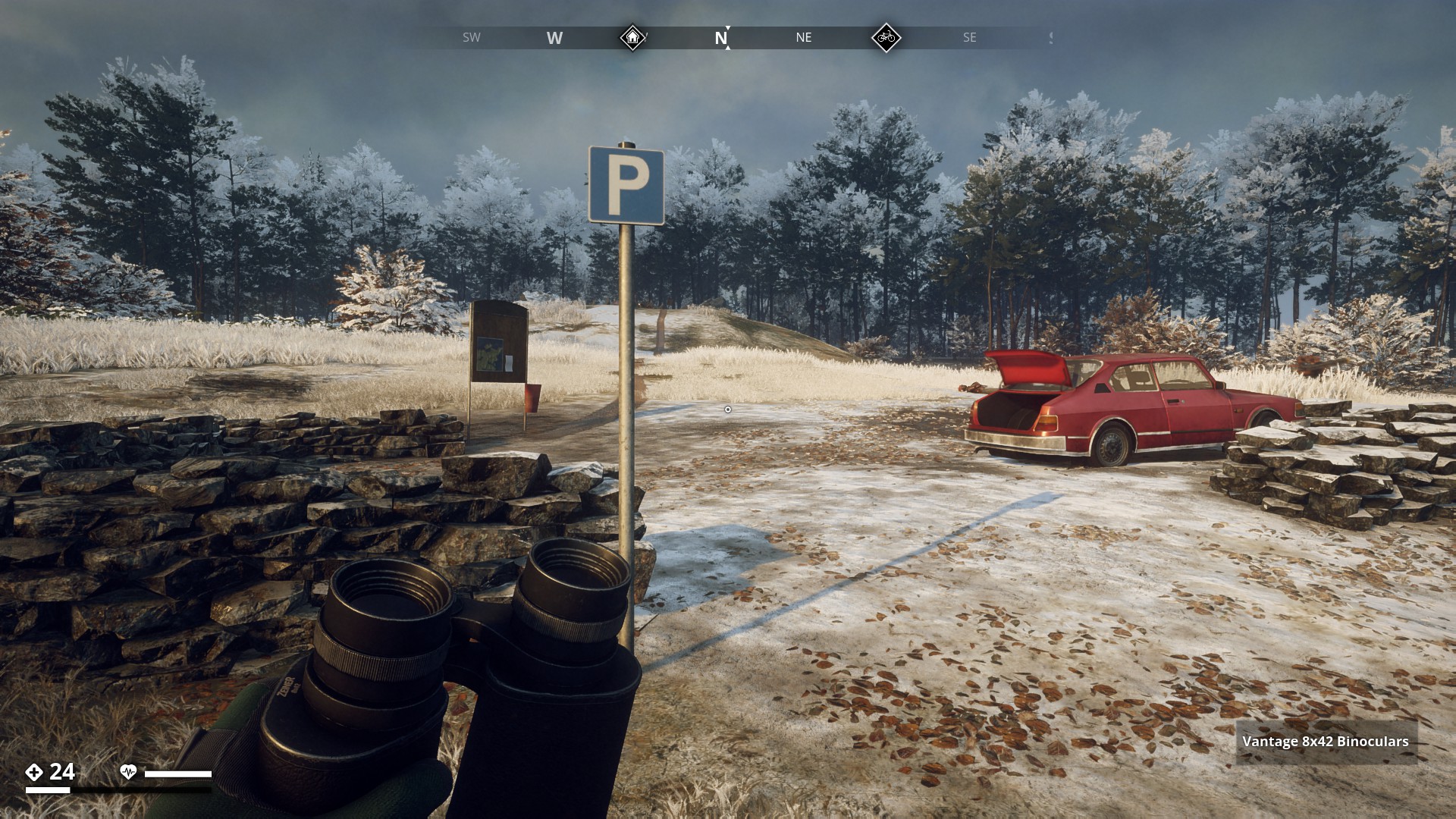
Parking
▼
Disabled Crossing 
▼
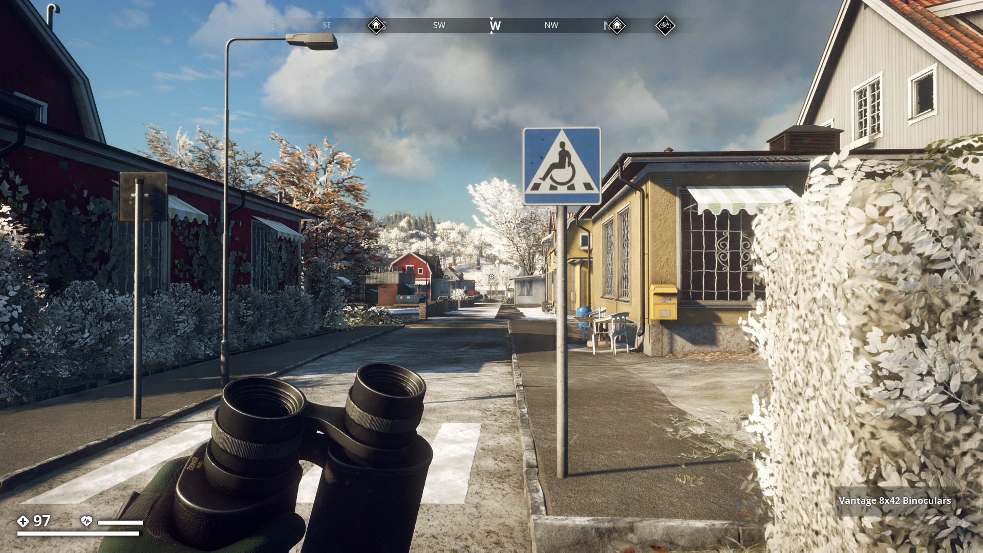
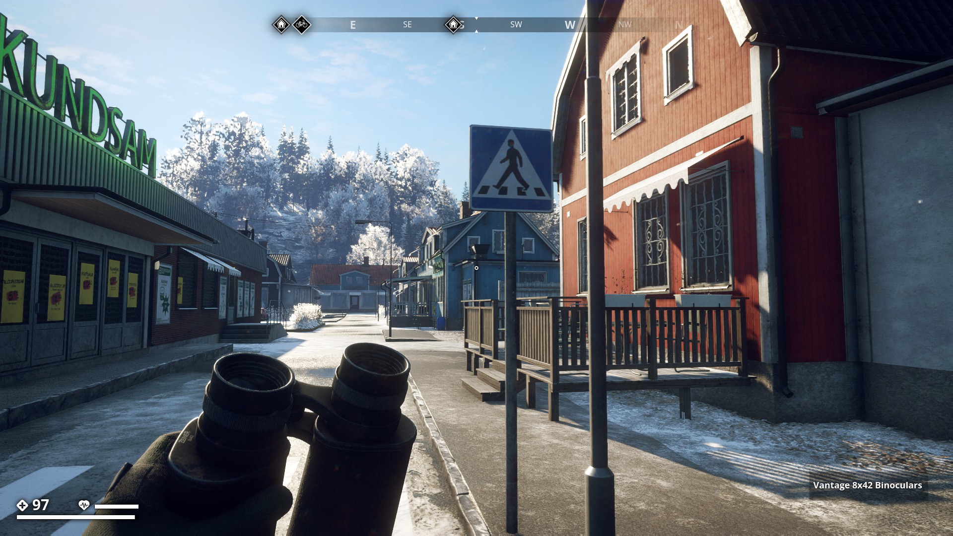
Pedestrian Crossing
▼
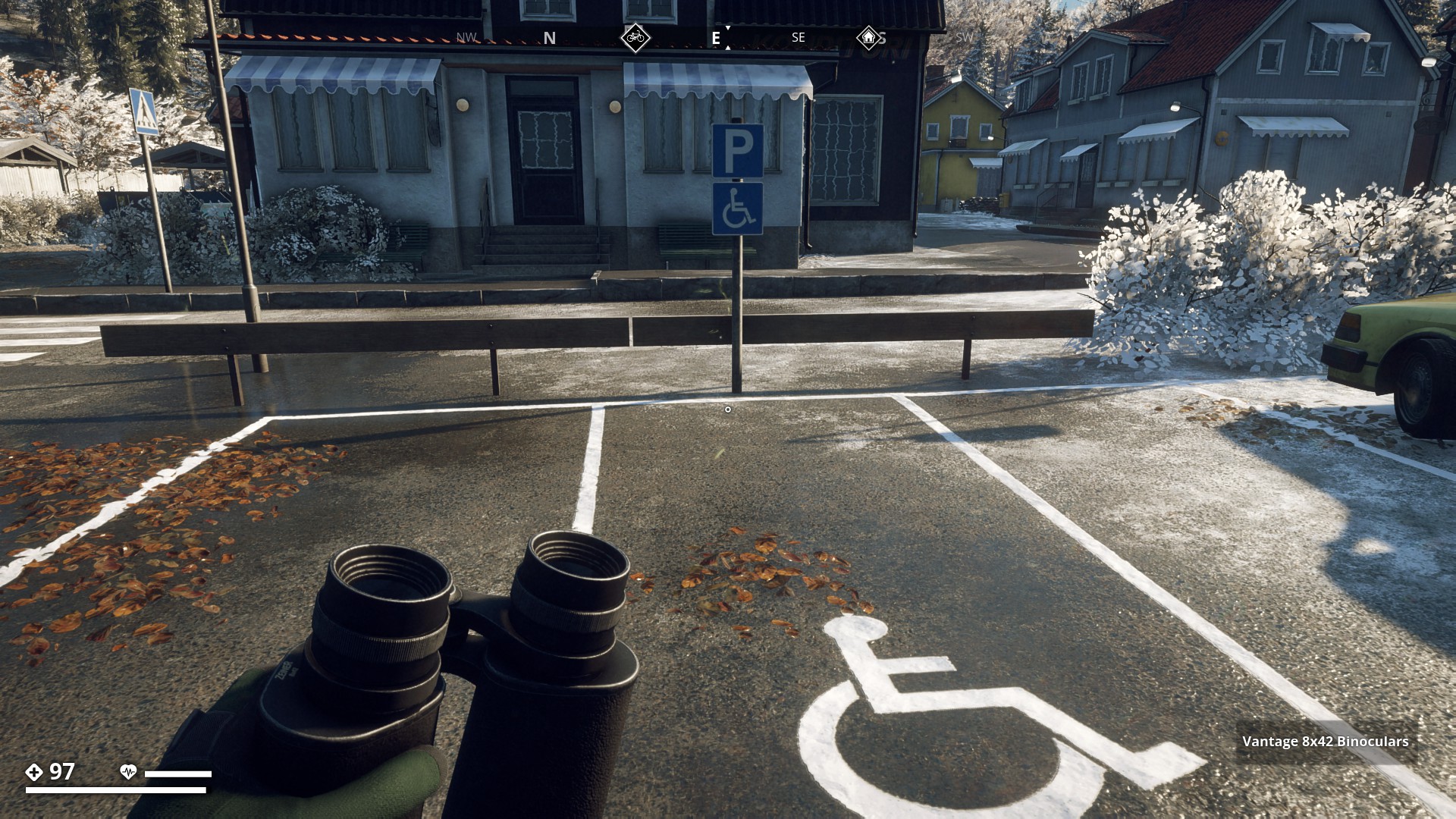
Disabled Parking Zone
▼
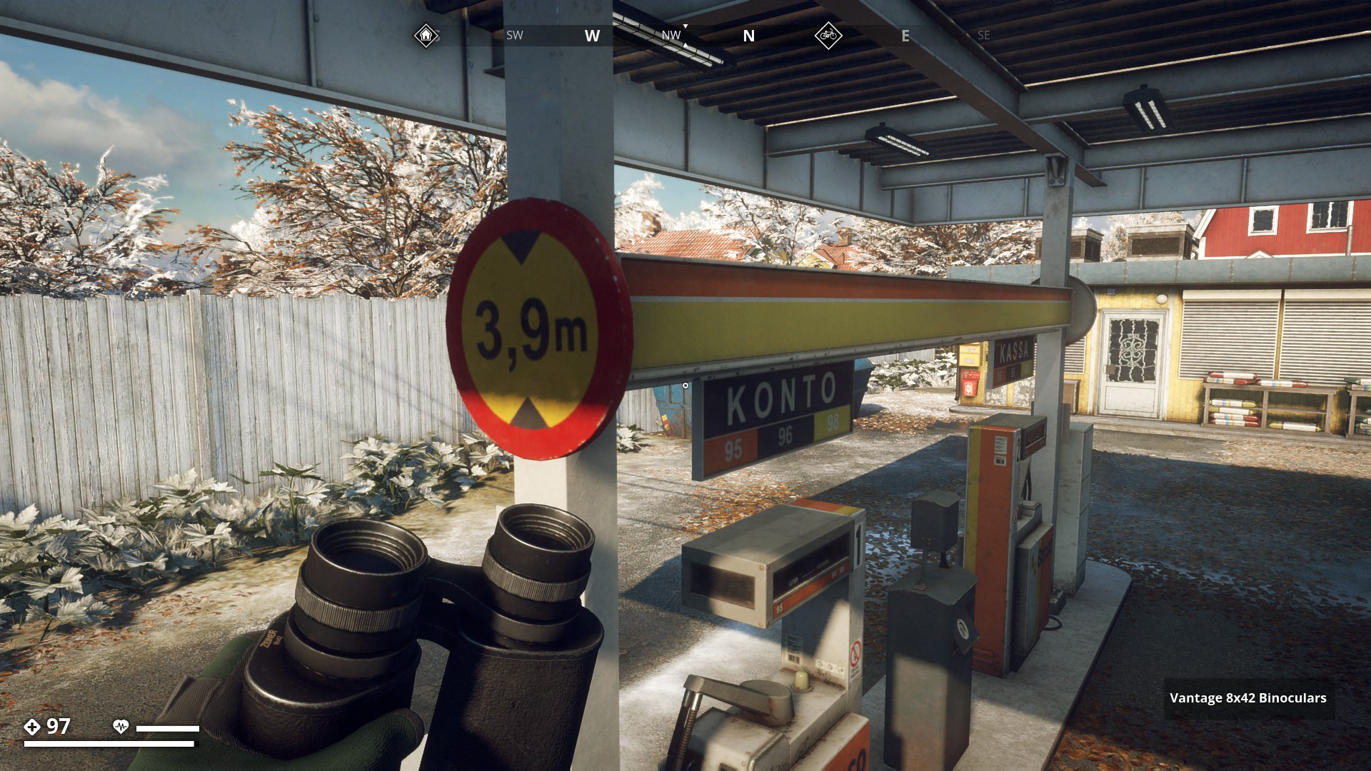
Maximum Headroom 3,9 metres
▼
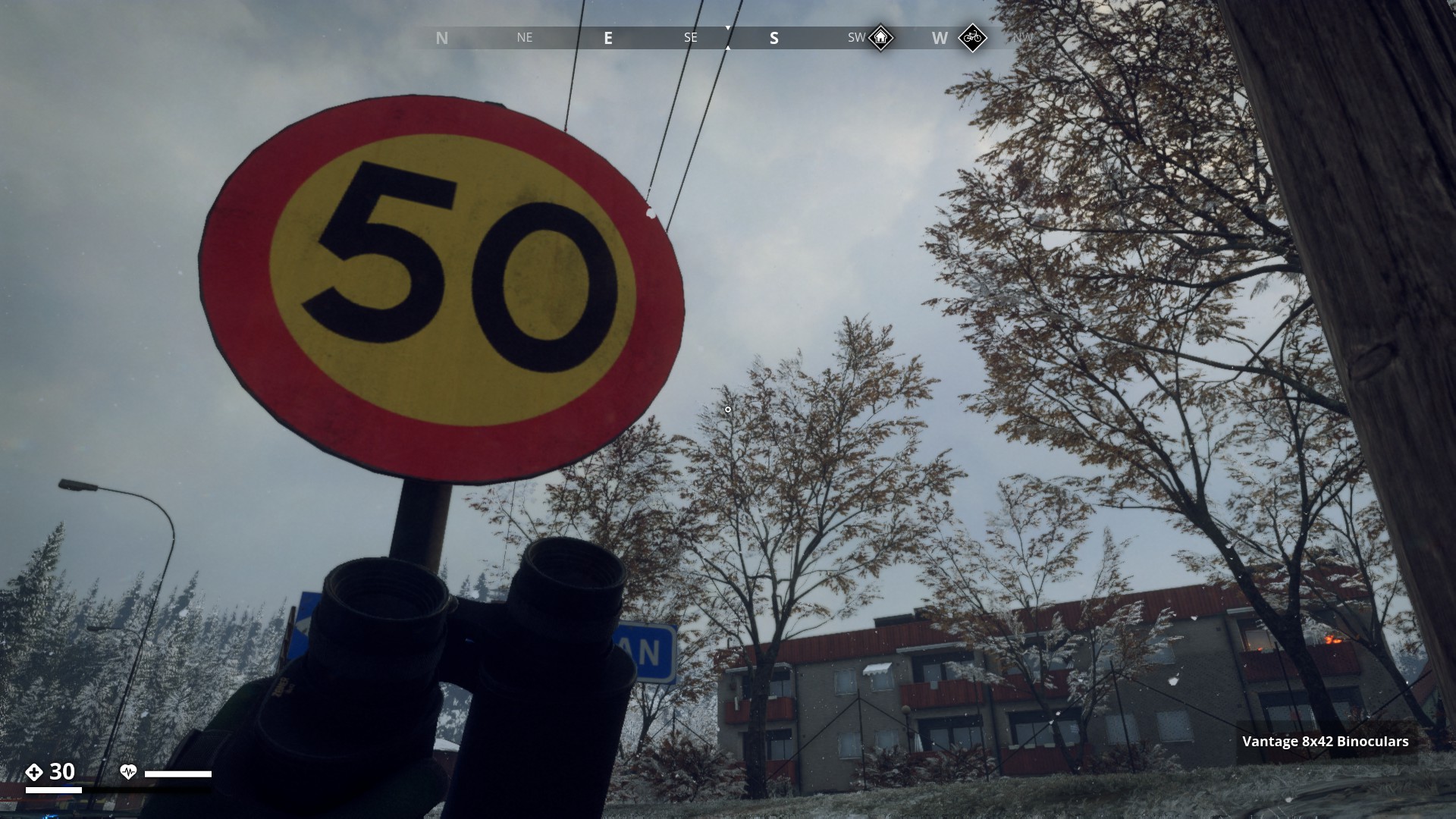
Speed limit 50 km/hour
▼
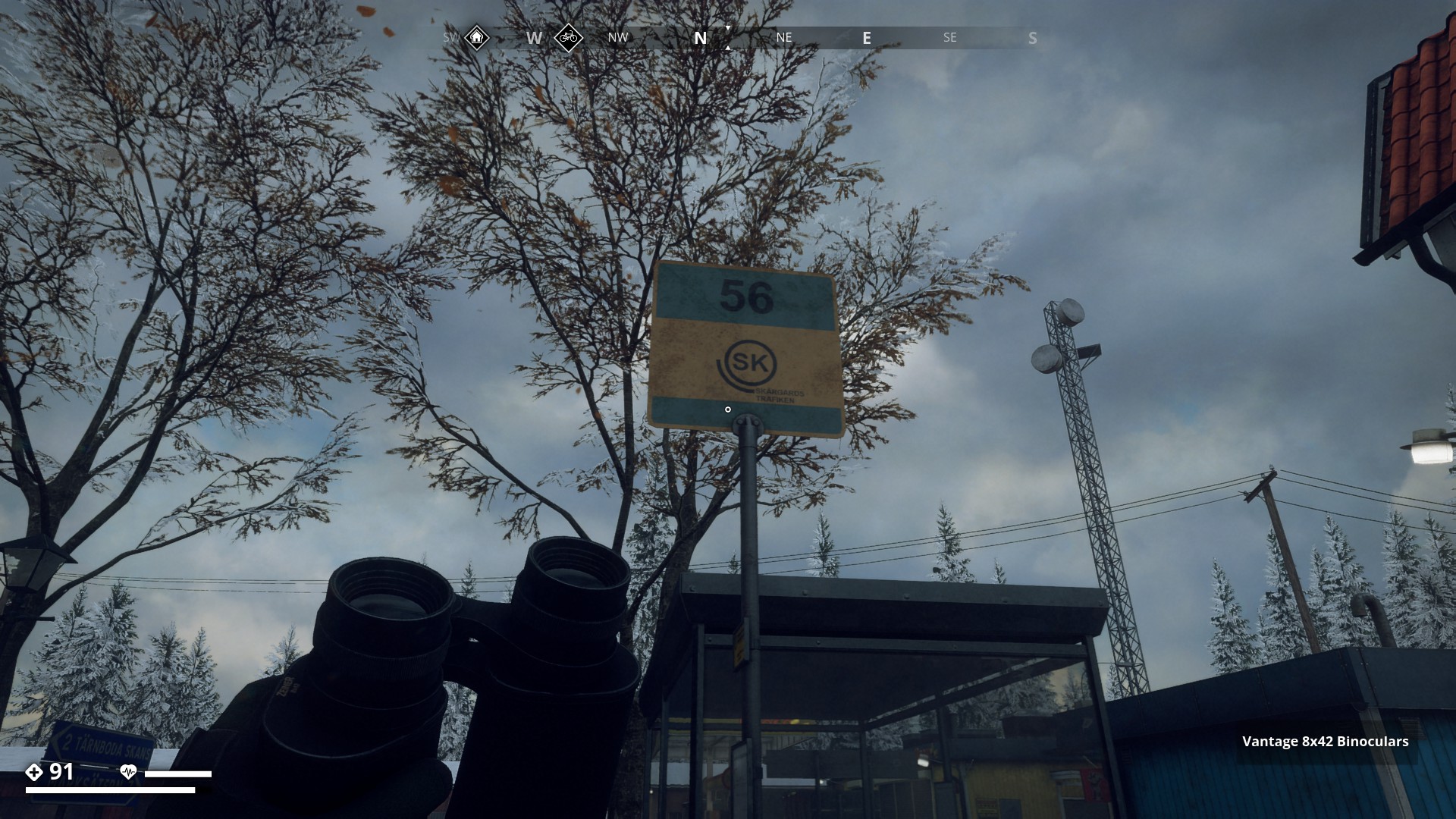
Bus Stop 56
SK => Skärgards Trafiken (Archipelago travel)
▼
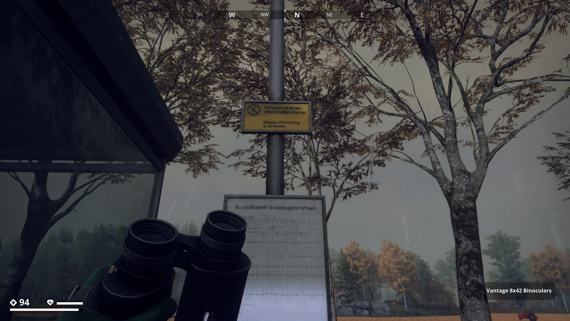
Bus Rules & Timetable sign
Text translation
* Förbjudet att förtära alkoholhaltiga drycker
  (It is forbidden to consume alcoholic beverages)
* Olaglig affischering är förbjudet (Illegal posters are prohibited)
  ______________________________________________________________

* Busstidtabell Landsbygdstrafiken (Bus timetable rural traffic)
▼
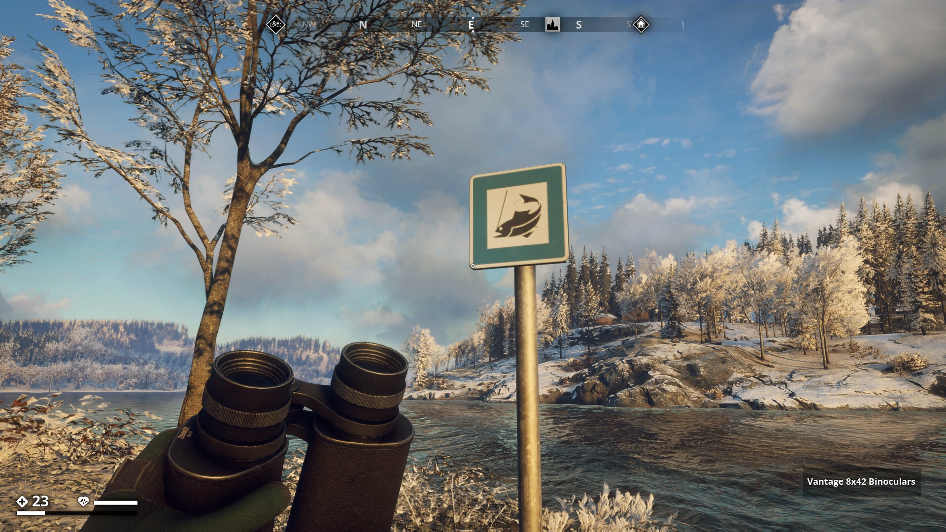
Fishing licence required (I love this one)
▼
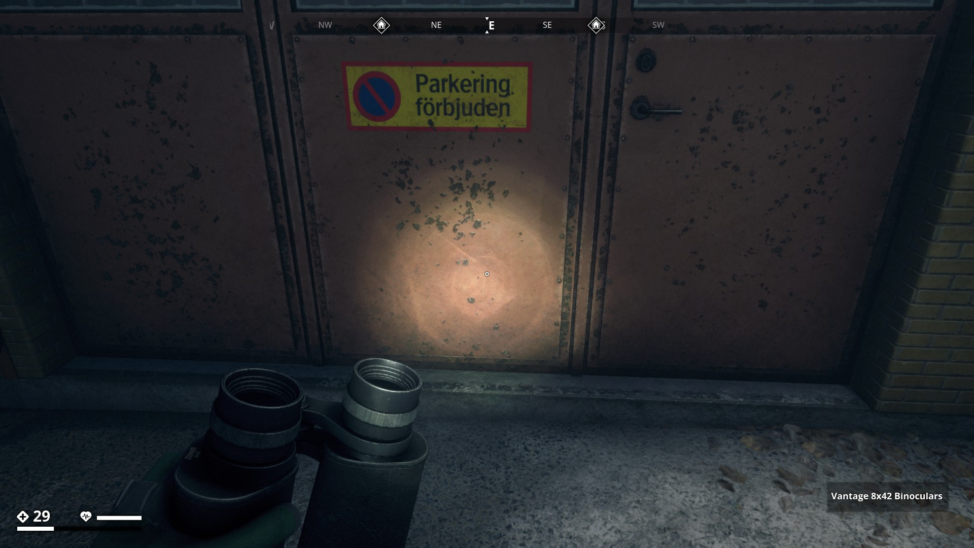
No Parking
Parkering Förbjuden (Parking Prohibited)
▼
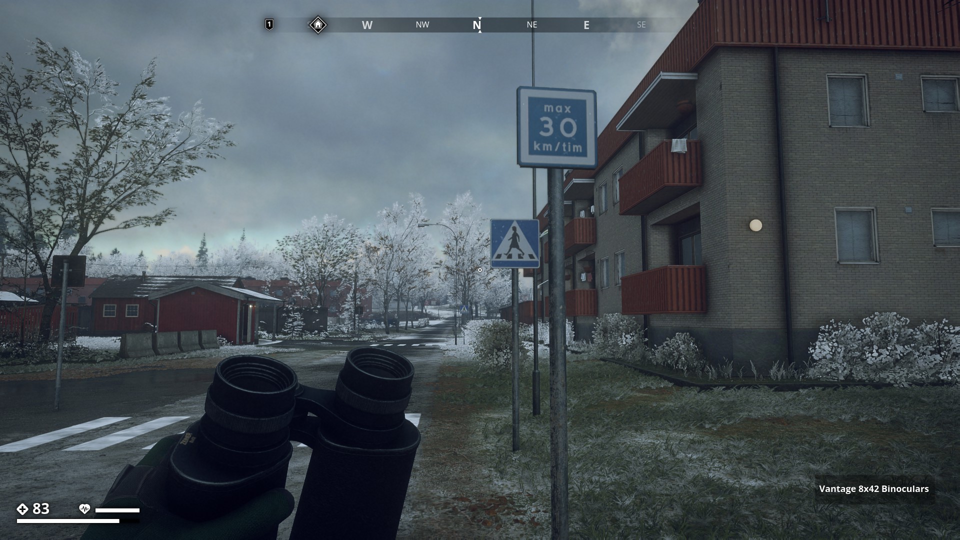
Low-speed road (30 recommended top speed)
▼
Do not enter
▼

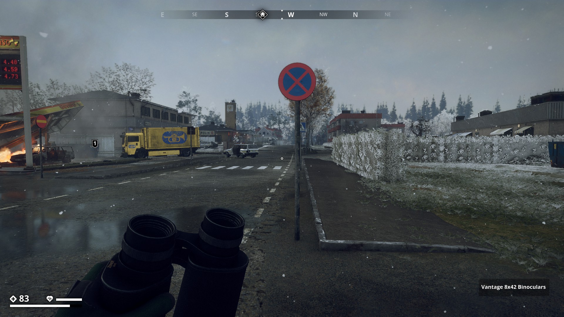
No stopping or standing
▼
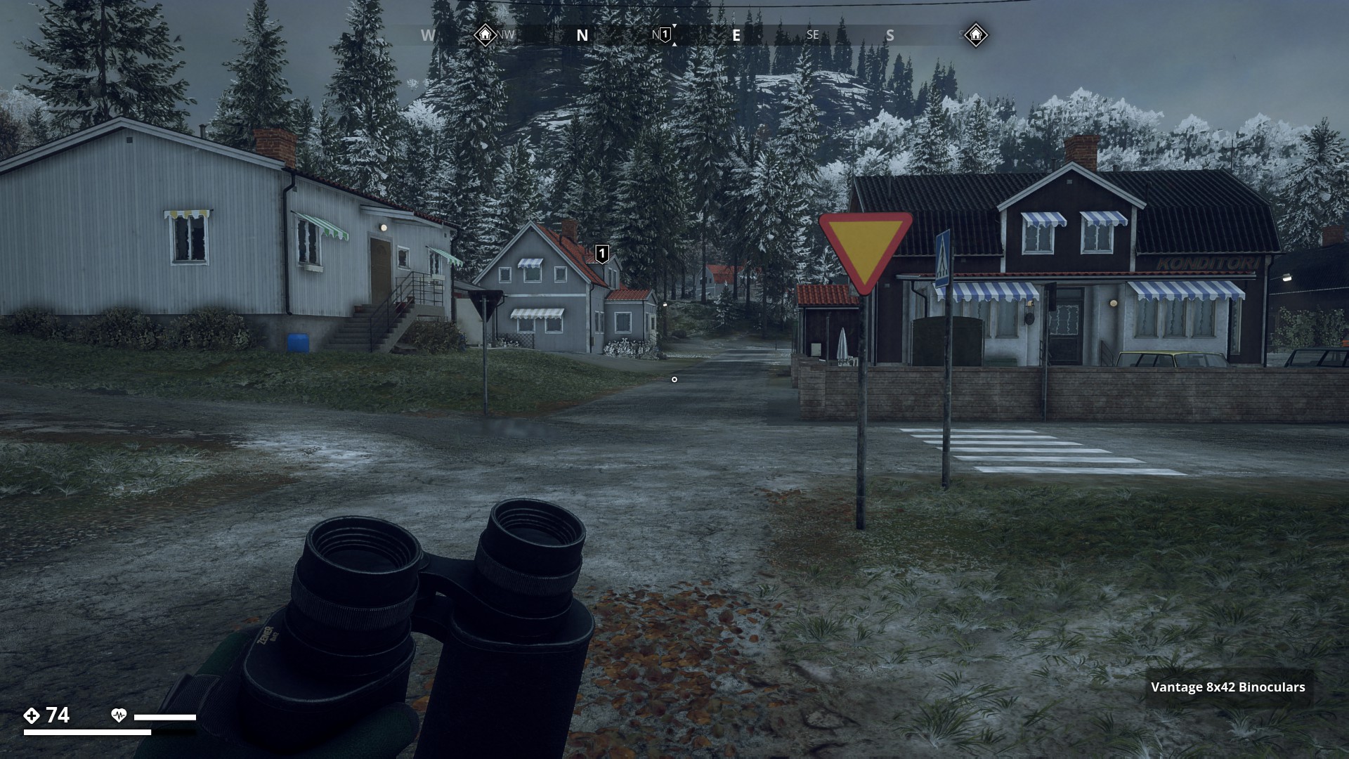
Give way
▼
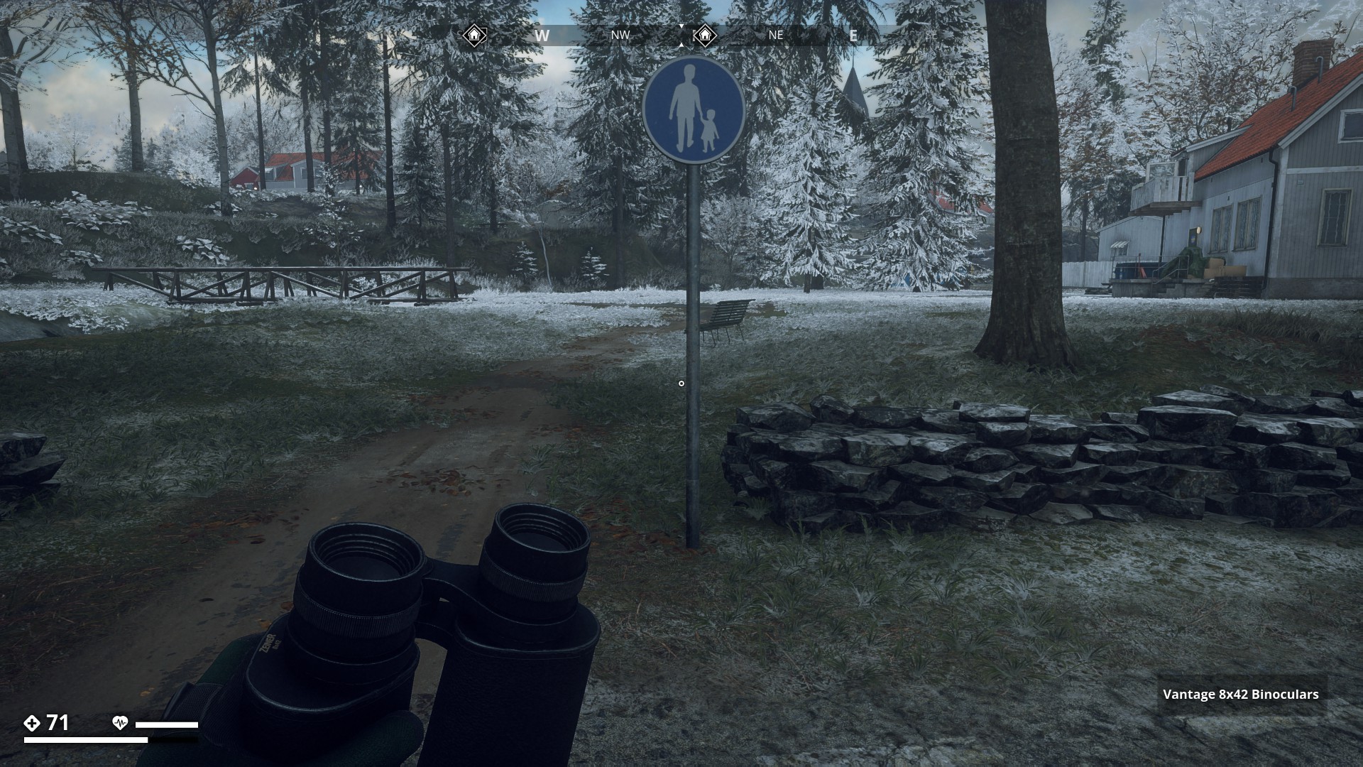
Footpath
▼
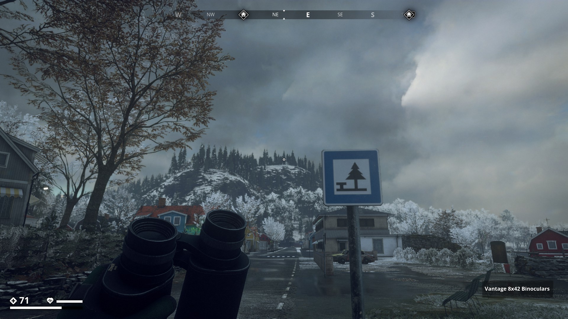
Picnic site
▼
National heritage
▼
Markings for sharp bends in the road
▼
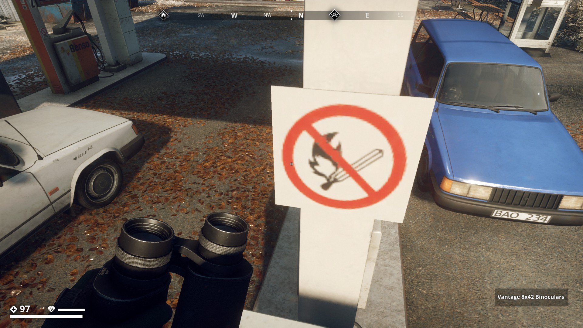
No open flames / fire
▼
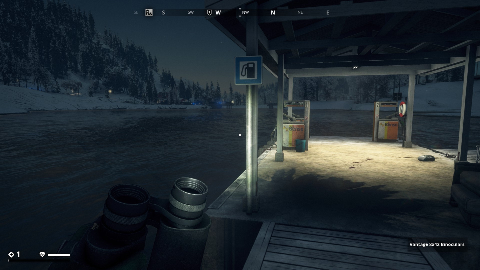
Petrol station
▼
Danger
▼

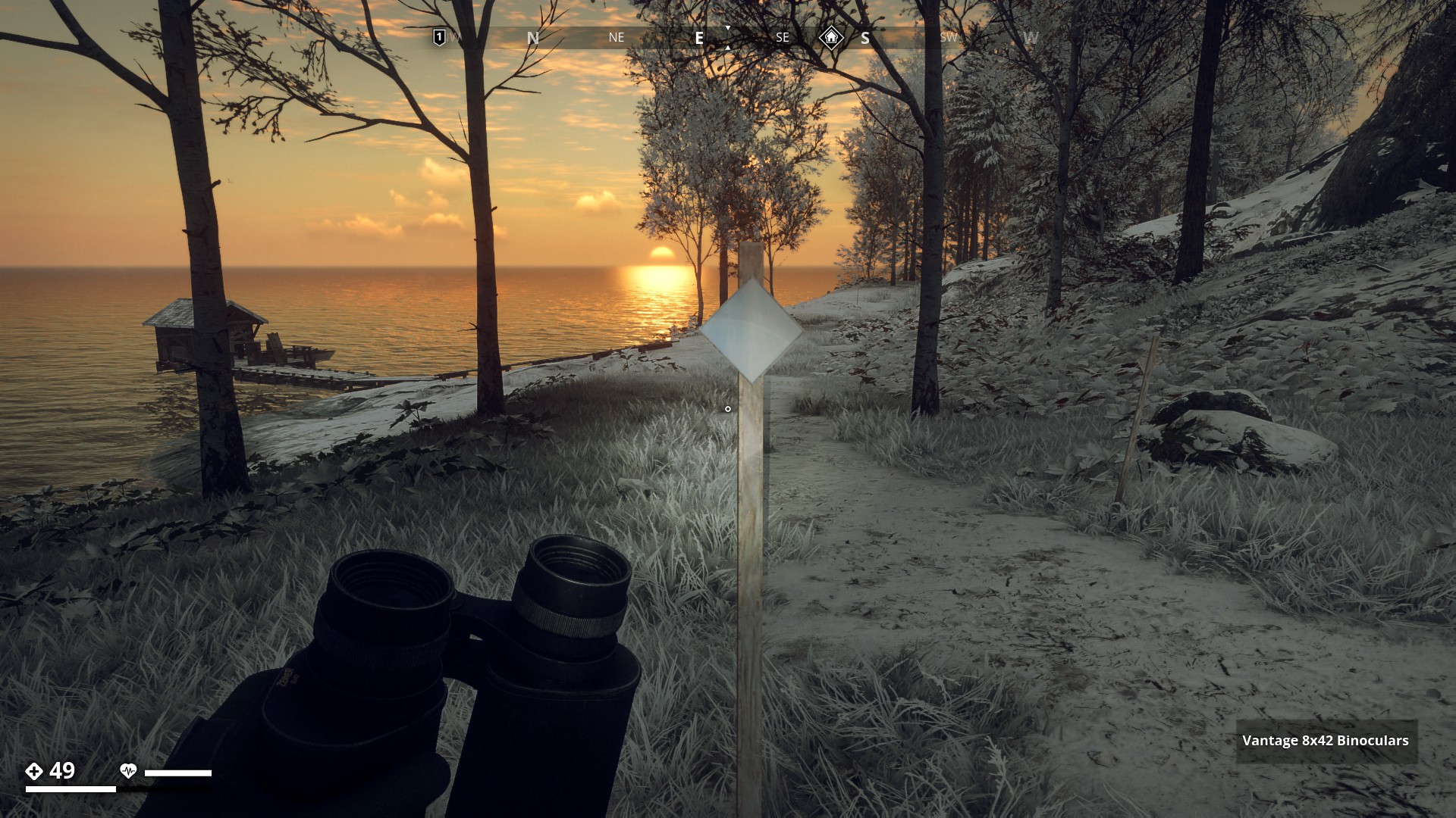
Hiking Trails
Markers on the Trail
This Trail path has multiple markers like on the picture below all about 50 metres apart until the end of the trail, which in this case leads to a touristic attraction.
▼
▼
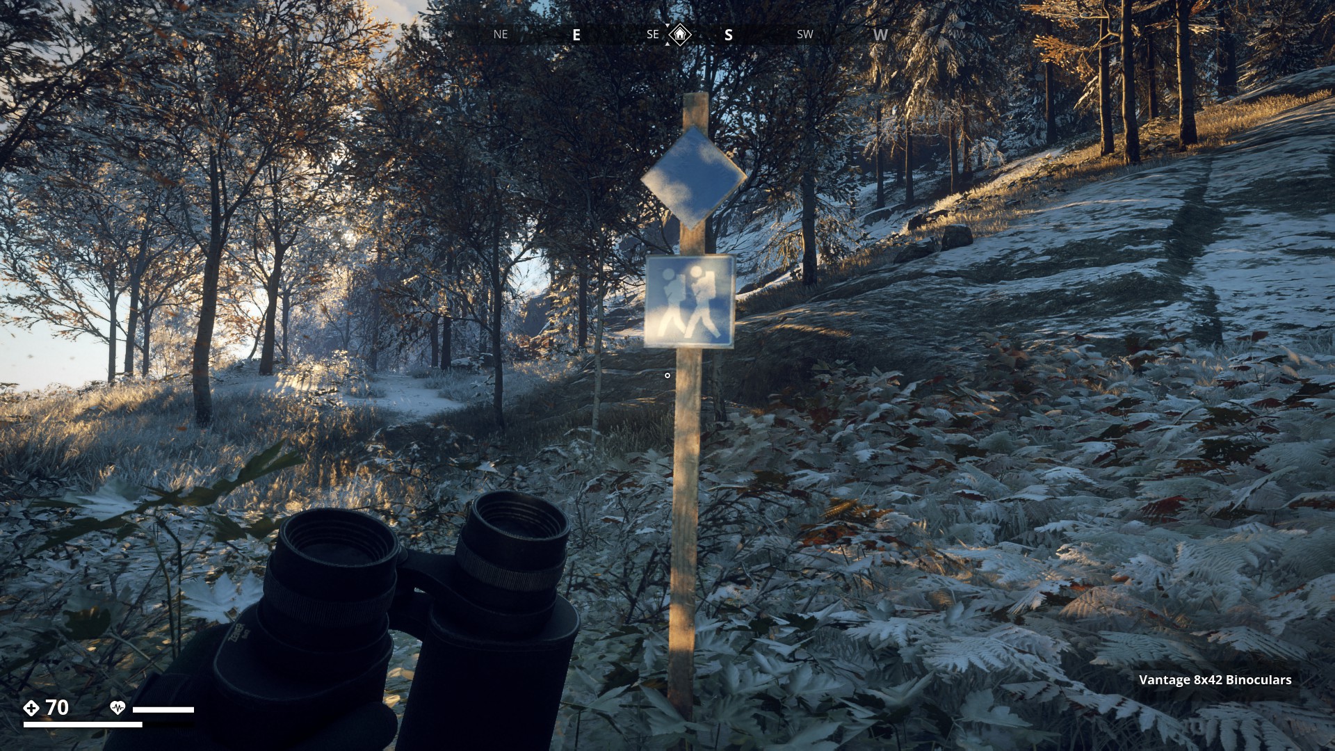
Langlaufing Trail
This Hiking Trail is also suitable for Langlaufing in snow season.
▼

Signs on Industrial Areas - Click here
![]()
Recycling Skip/Container
Tex on Skip
Atervinningsvertket (Recycling Plant)
Max Last (Max Load) 8000 kg
Max Lyftvinkel (Max Lifting Angle) 90 °
▼
▼

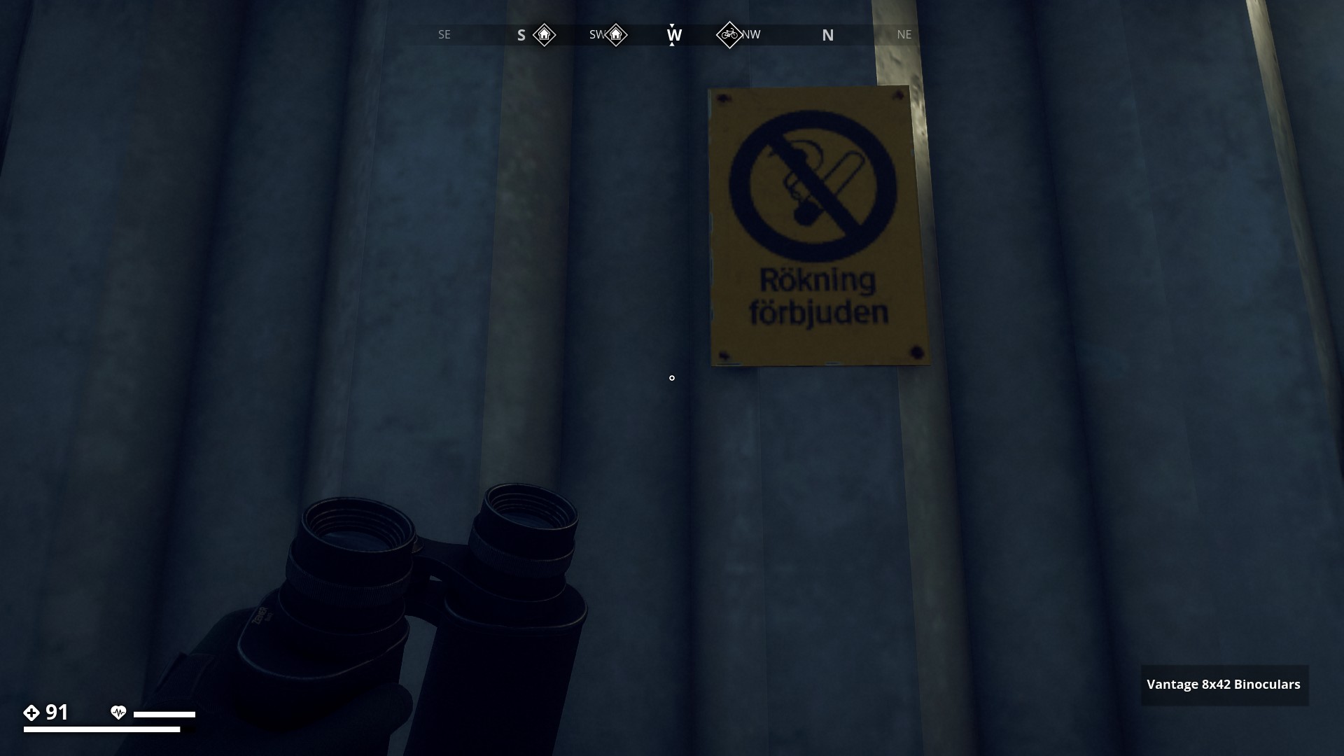
Rökning förbjuden (No smoking)
▼
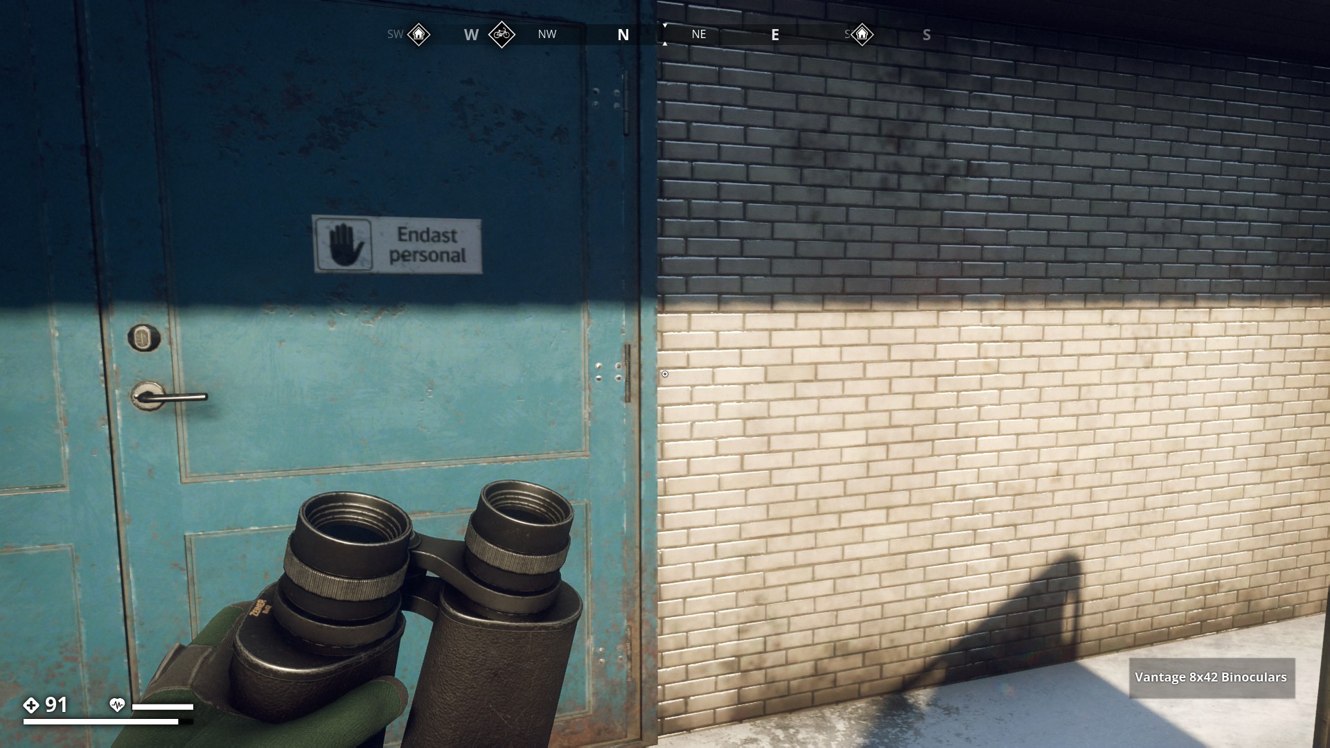
Endast Personal (Staff only)
▼
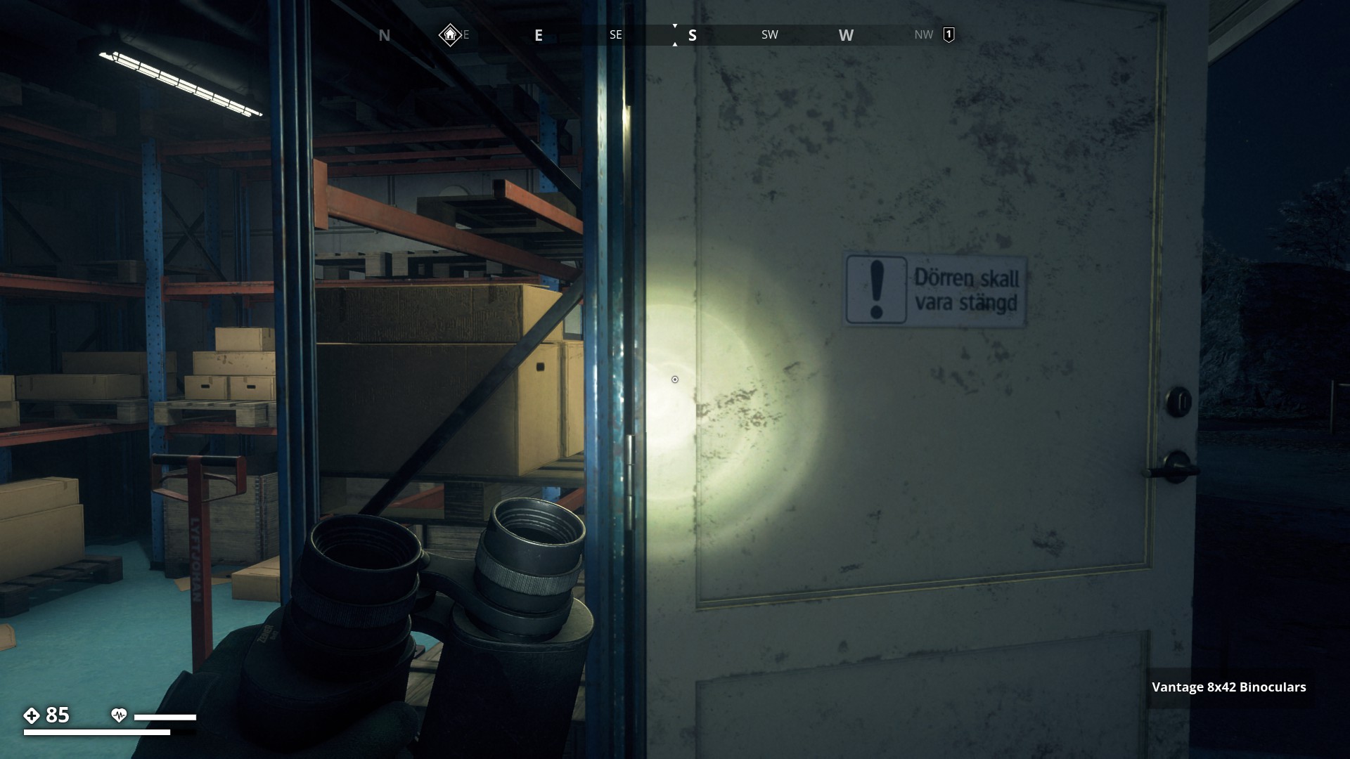
Dörren skall vara stängd! (The door must be closed!)
▼
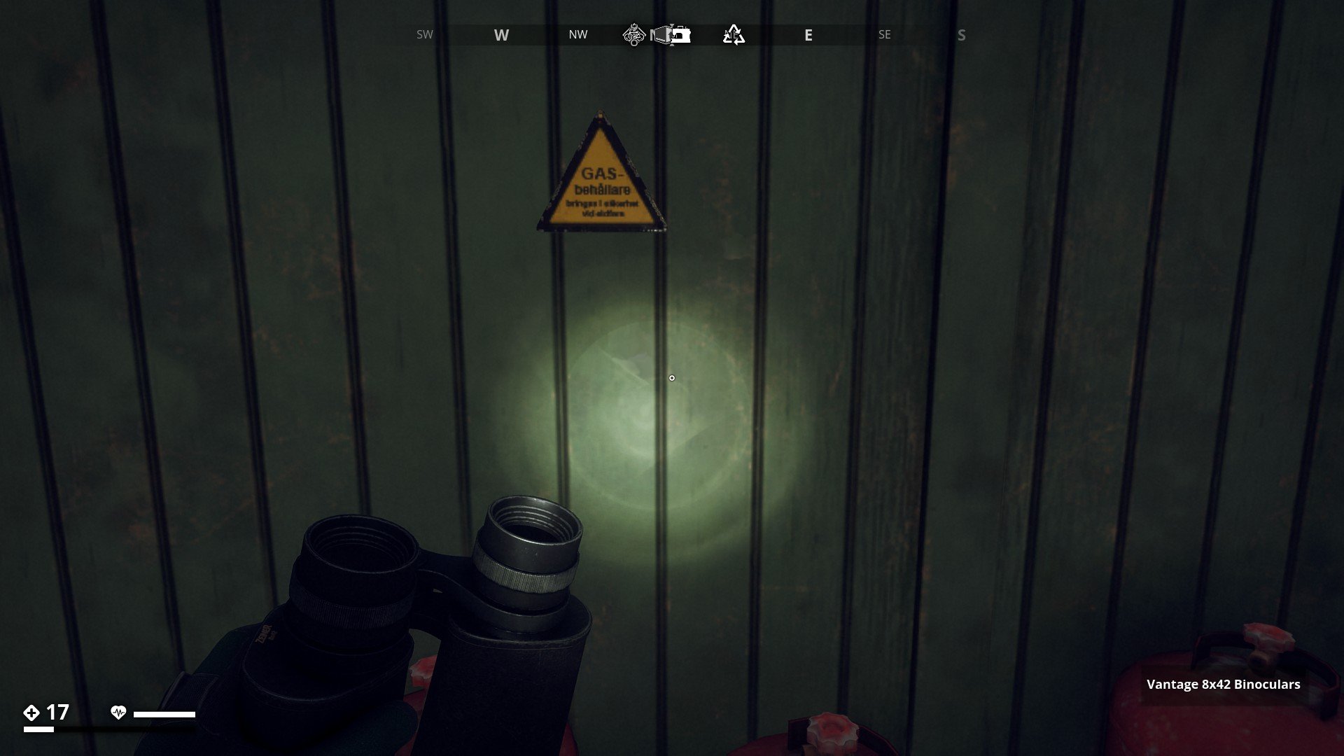
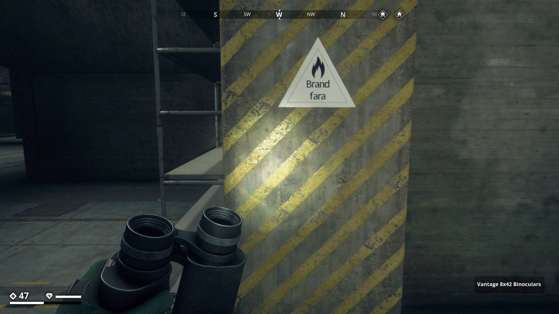
Gasbehållare. Bringas I säkerhet vid eldfara
(Gas Cylinders. Move to safety in case of fire)
▼
Gasflaskor (Gas Cylinders)
Förs i säkerhet vid brandfara (Move to safety in case of fire)
▼

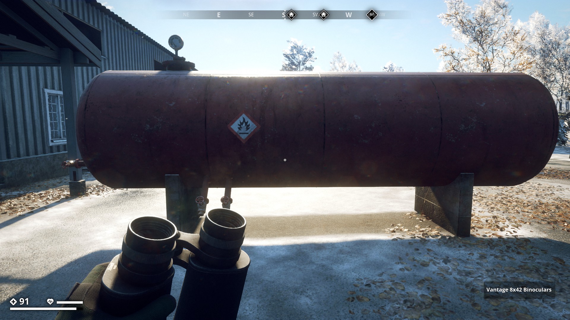
Flammable Gas
▼
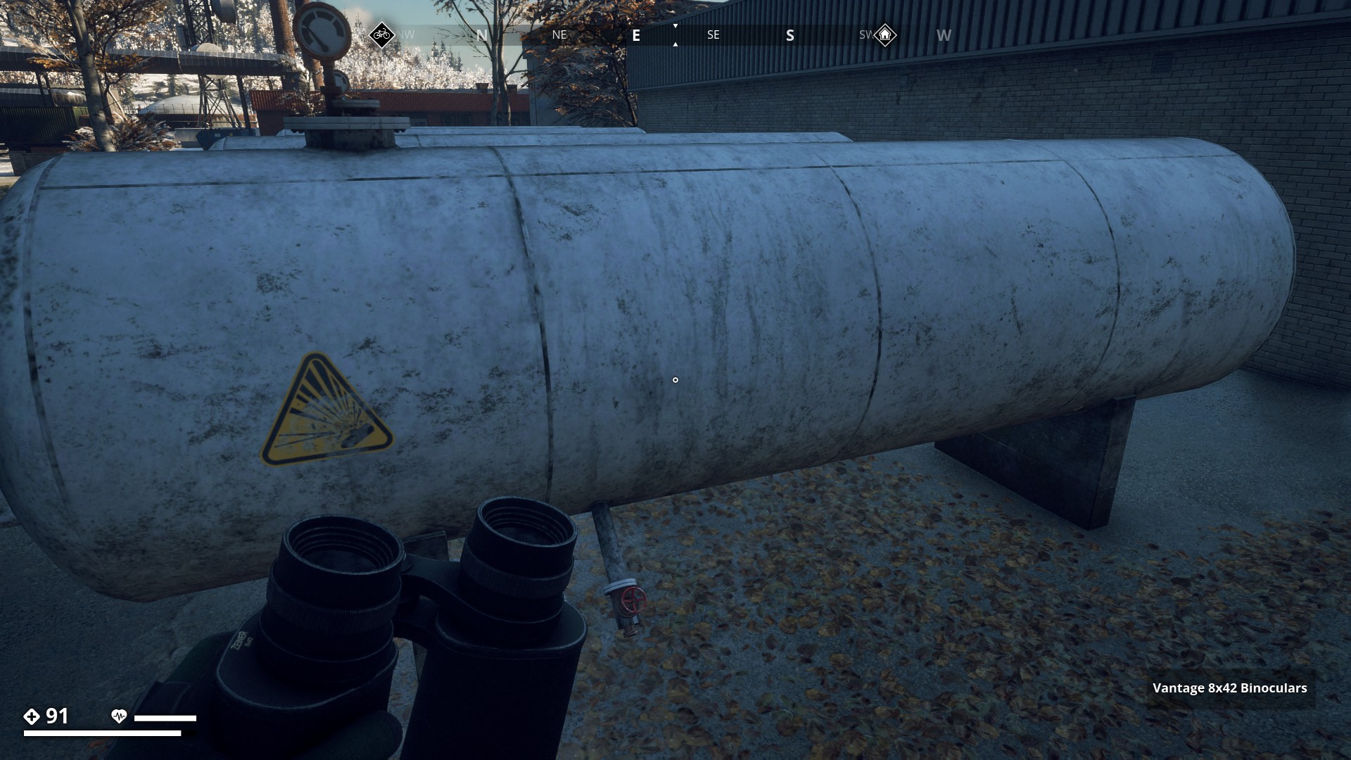
Explosive when vented or ruptured
▼
Poison Class 4
▼
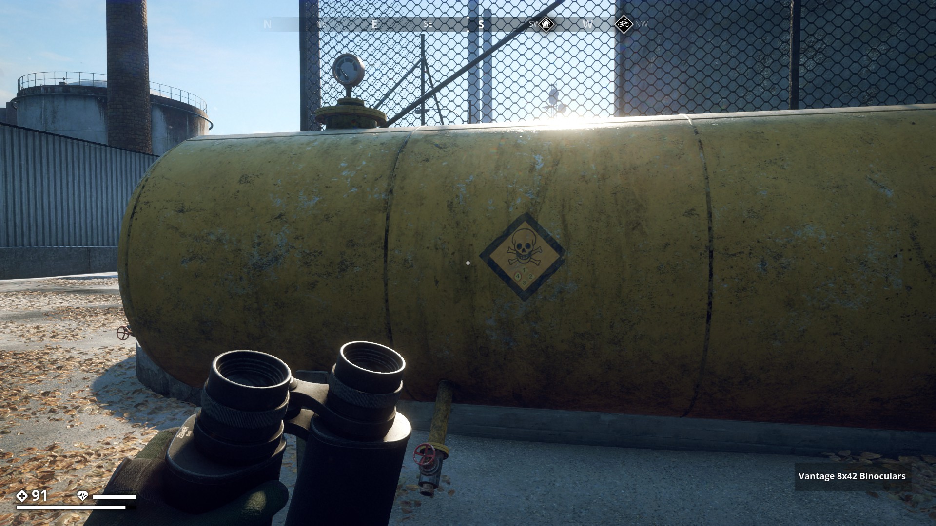
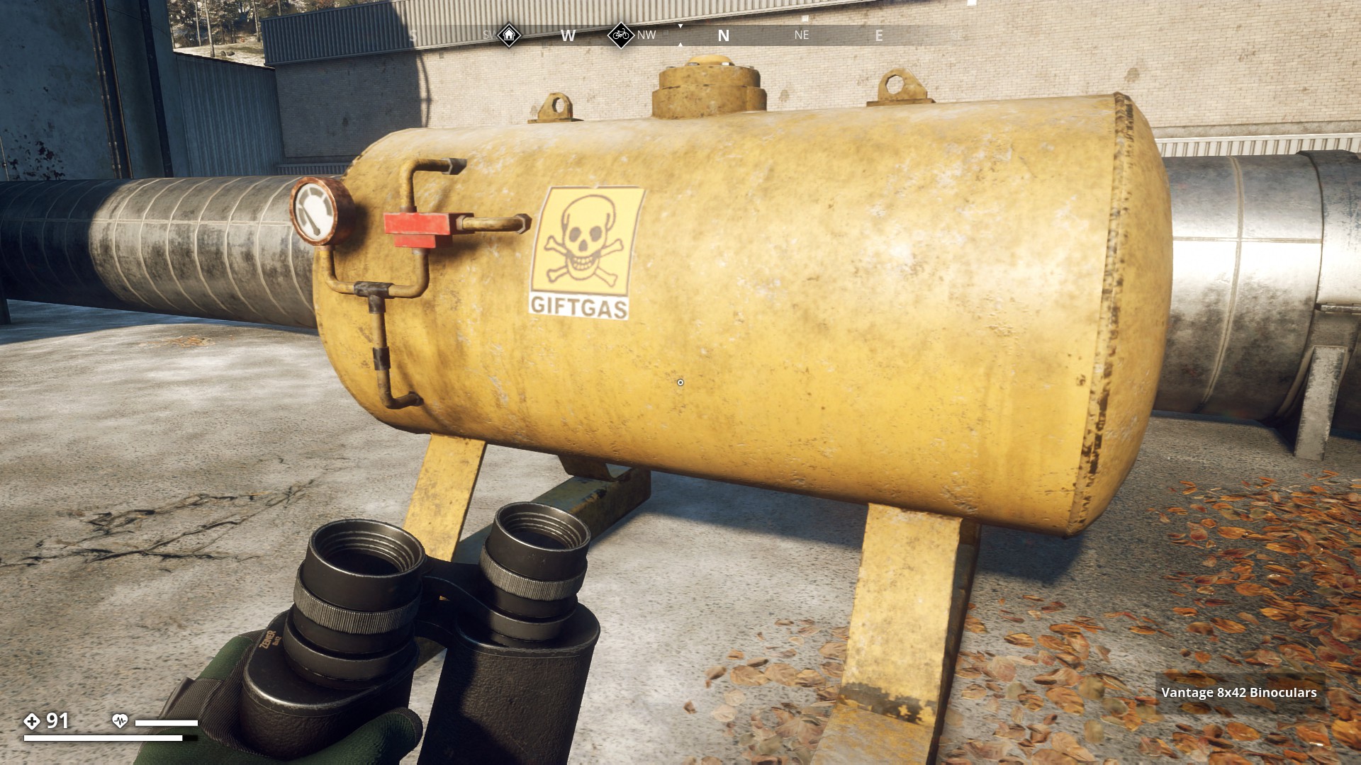
Giftgas (Poisonous Gas)
▼
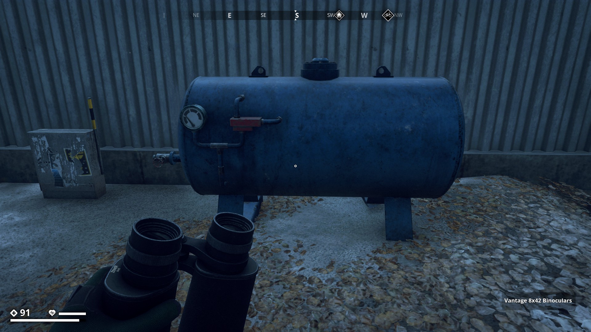
I wonder what is in this Blue tank (air / water ?), since it has no warning at all.
▼
Kabilskap (Cables)
▼

Bunker & Military Signs - Click here
![]()
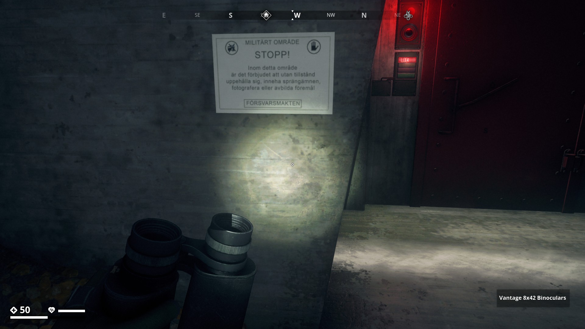
At all bunker entrances / exits there is this warning message
Translation text below
Military Area
STOP!
In this area, be warned that without permission it's prohibited to
reside, carry explosives, take photographs or depictions of objects.
The Armed Forces
▼
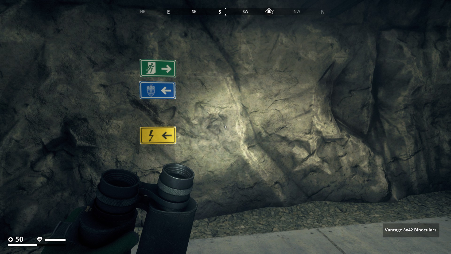
Here the older direction signs next to a new colored one
Translation text below
Kraftcentral (Power Station)
Sanitet (Sanitation)
förråd (Storage)
Dagrum (Living Quarters)
Utgång (Exit)
Hangar (Hangar)
▼

Green (Exit)
Blue (Warroom)
Yellow (Generator room)
▼
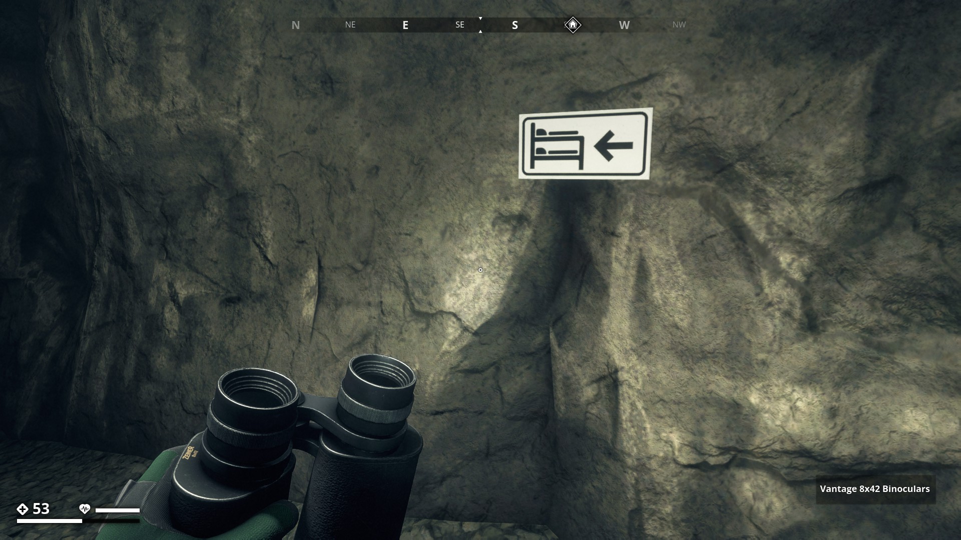
White (Living quarters)
▼
Fire hazard
▼
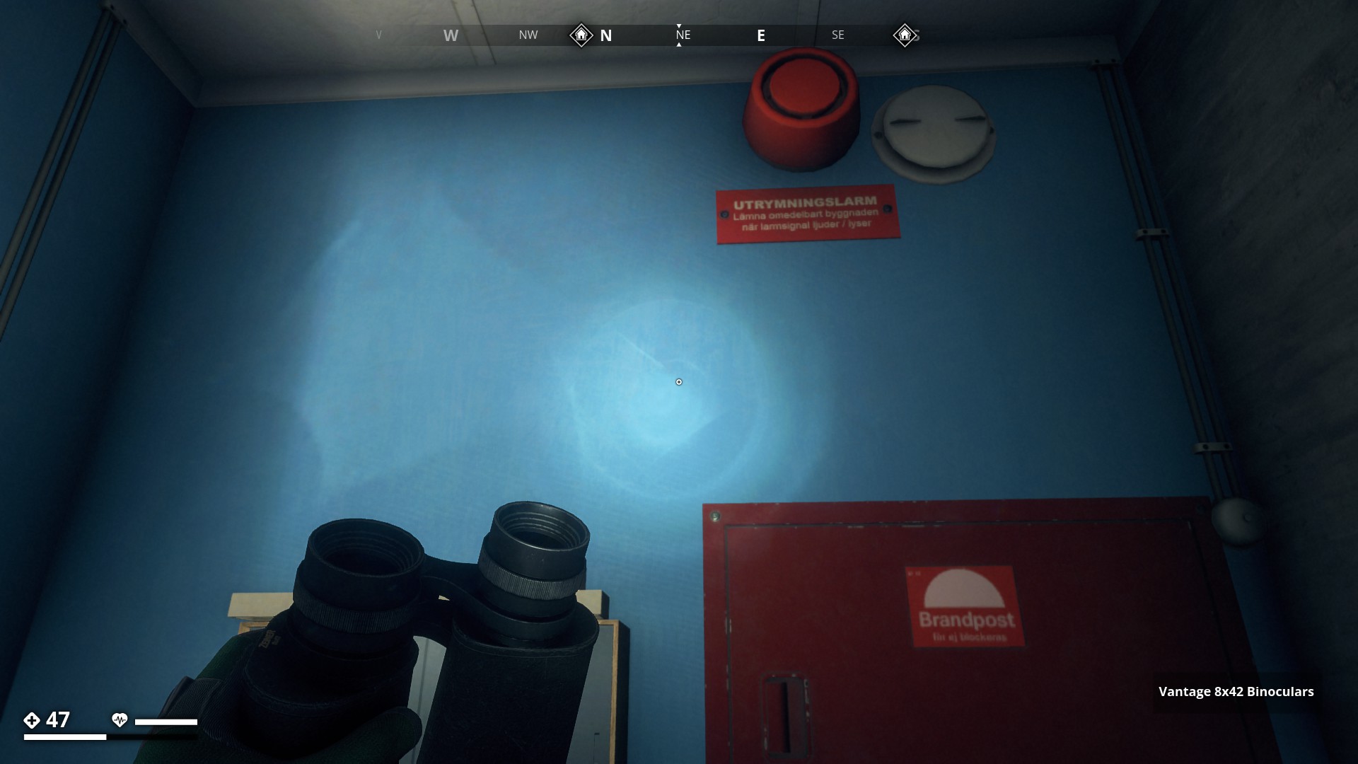
Brandpost & Utrymningsalarm
Translation all text below
Utrymningsalarm (Evacuation Alarm)
Lämna omedelbart byggnaden när larmsignal tjuder / lyser
(Leave the building immediately when the alarm signal sounds / lights up)
Brandpost (Fire Hose Cabinet)
Får ej stockaras (Do not stockpile)
▼
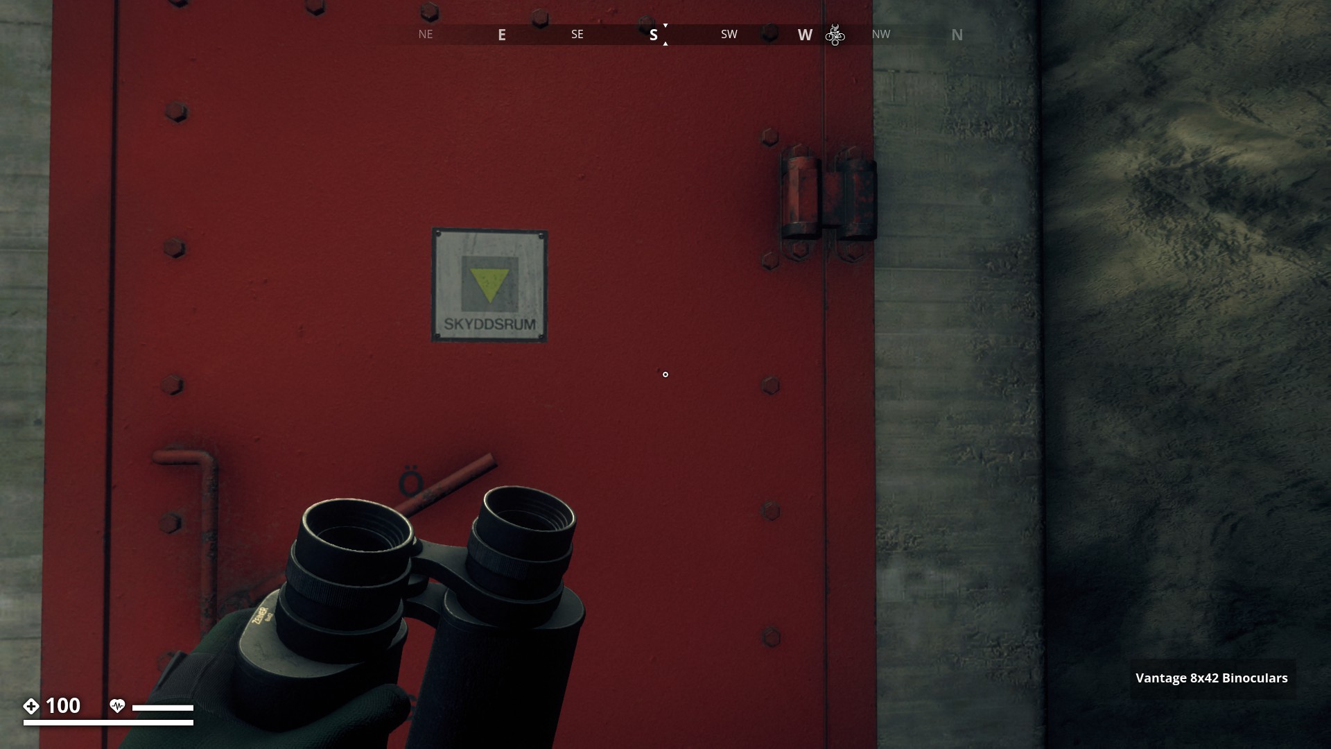
Skyddsrum (Emergency Shelter)
▼
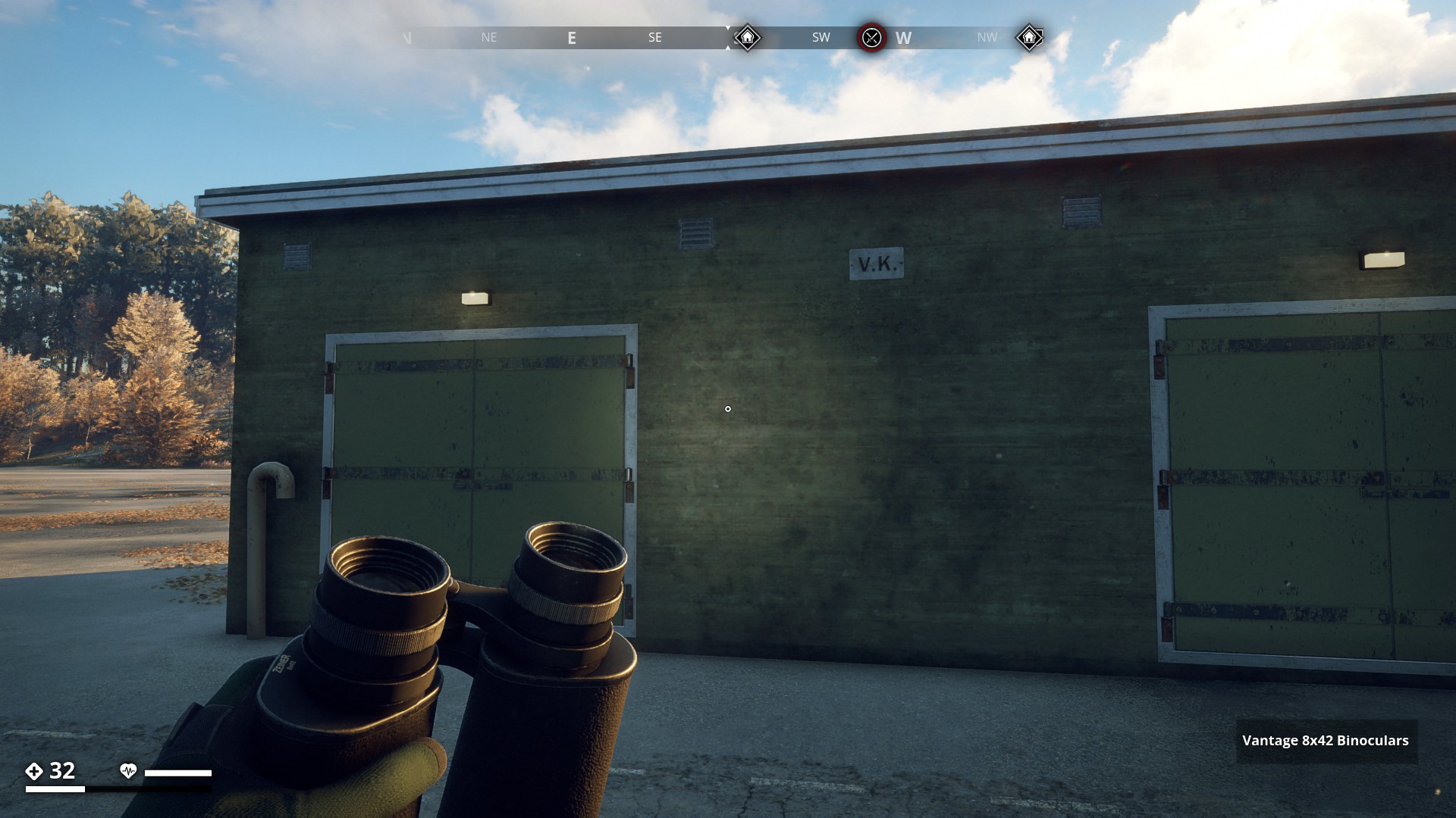
V.K. Vapenkassun
▼
Persedel (Mil. Gear / Outfit)
▼

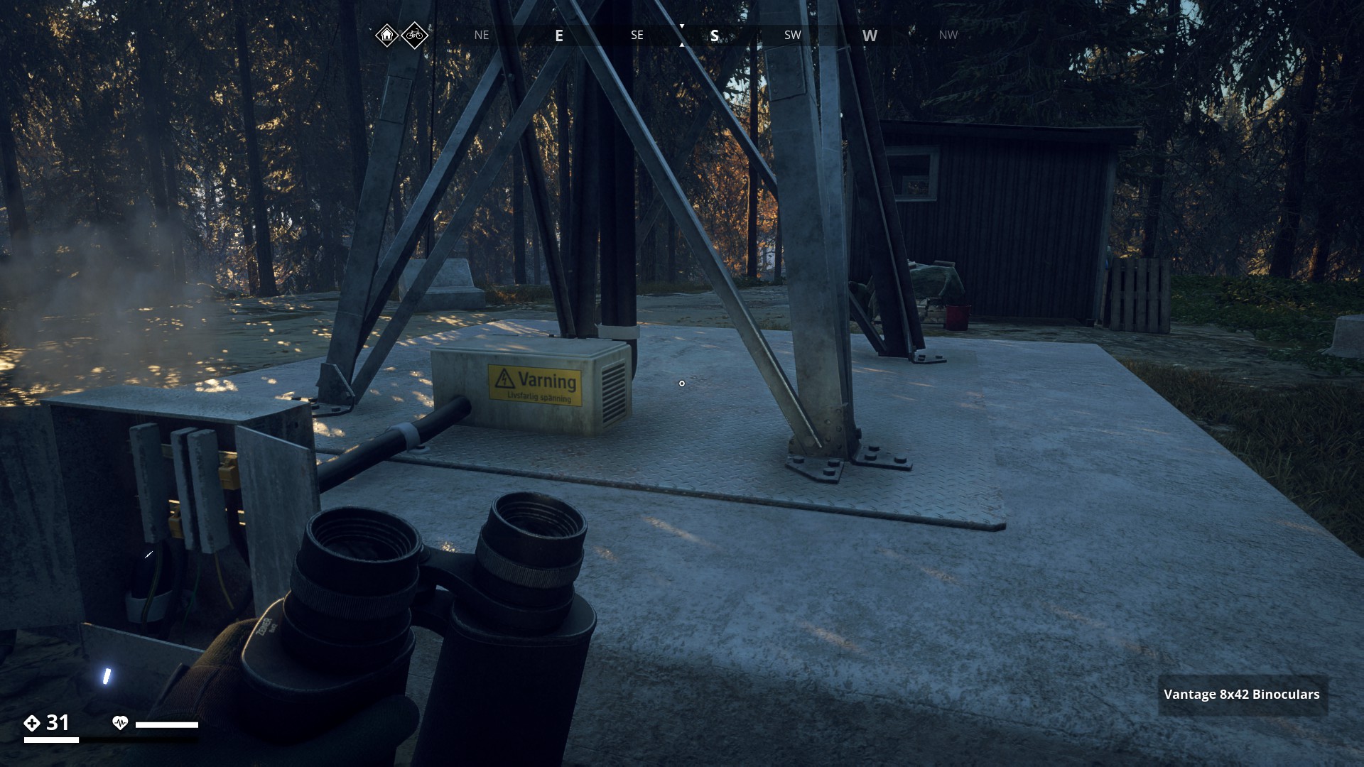
Varning Livsfarlig spänning - (Warning Dangerous voltage)
▼
10 Likes
I guess the central farmlands aren’t really a “Beautiful” Hiking area anymore
1 Like
Well, every scene has it’s own beauty. But it’s good to have pictures of how it was.
2 Likes
@Gysbert Hello Gysbert another nice hiking route. Some invite you to wander around the map a little
Good work, keep it up please 
1 Like

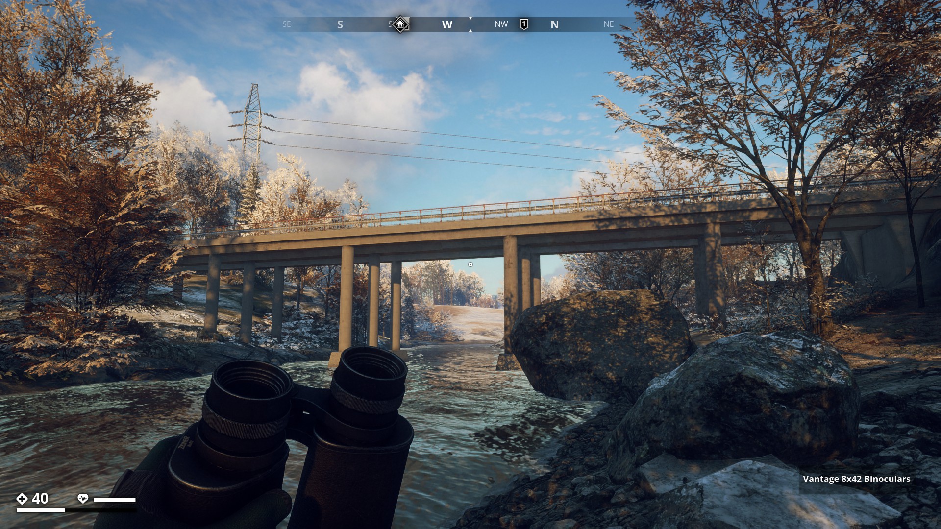
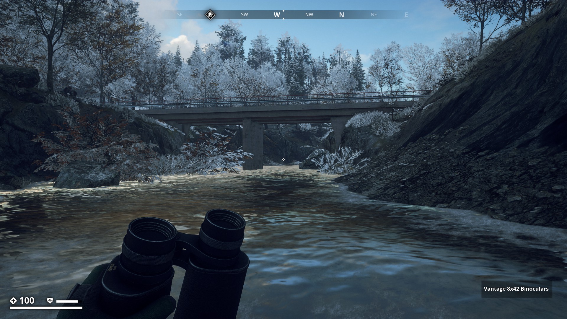
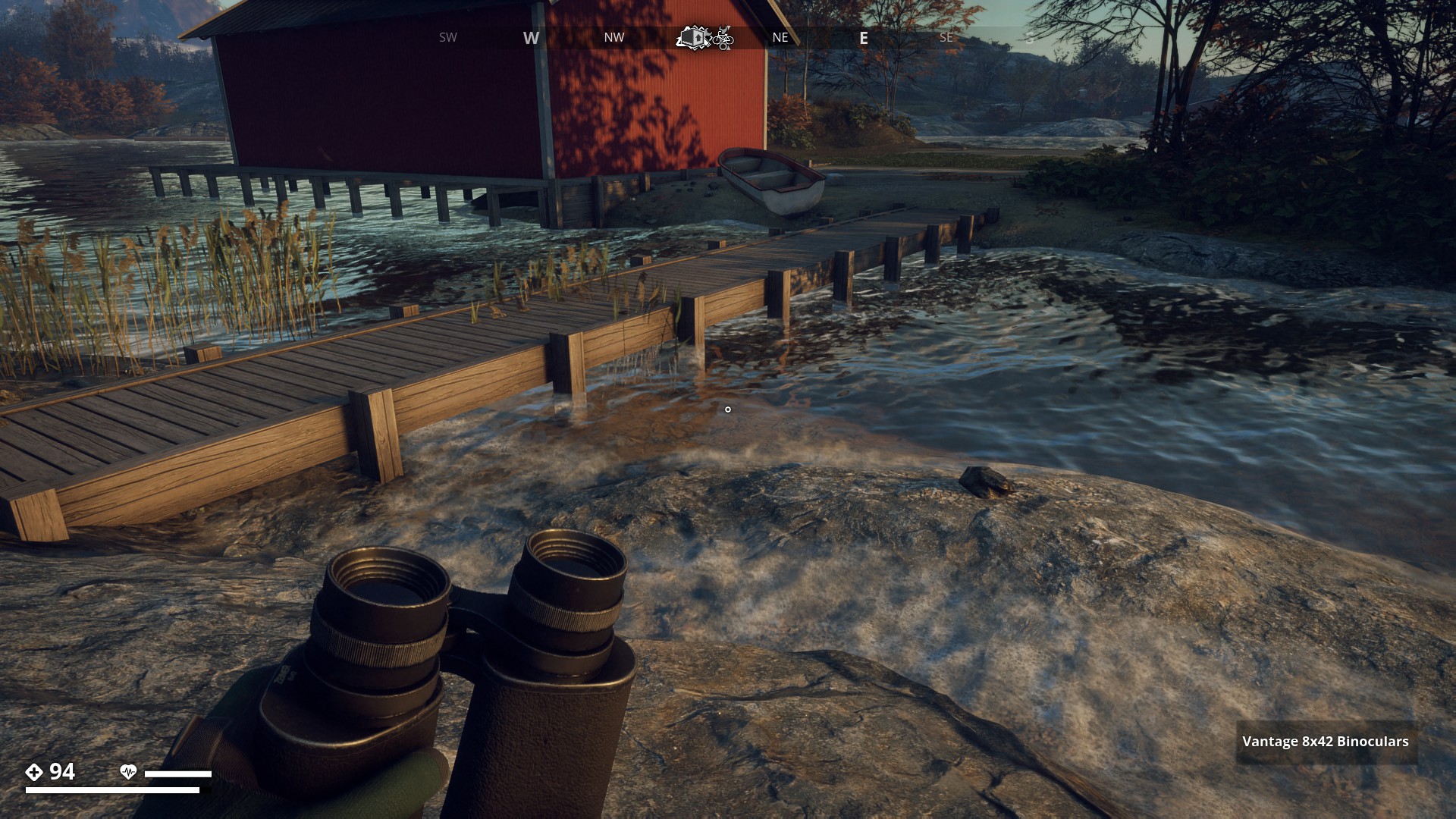
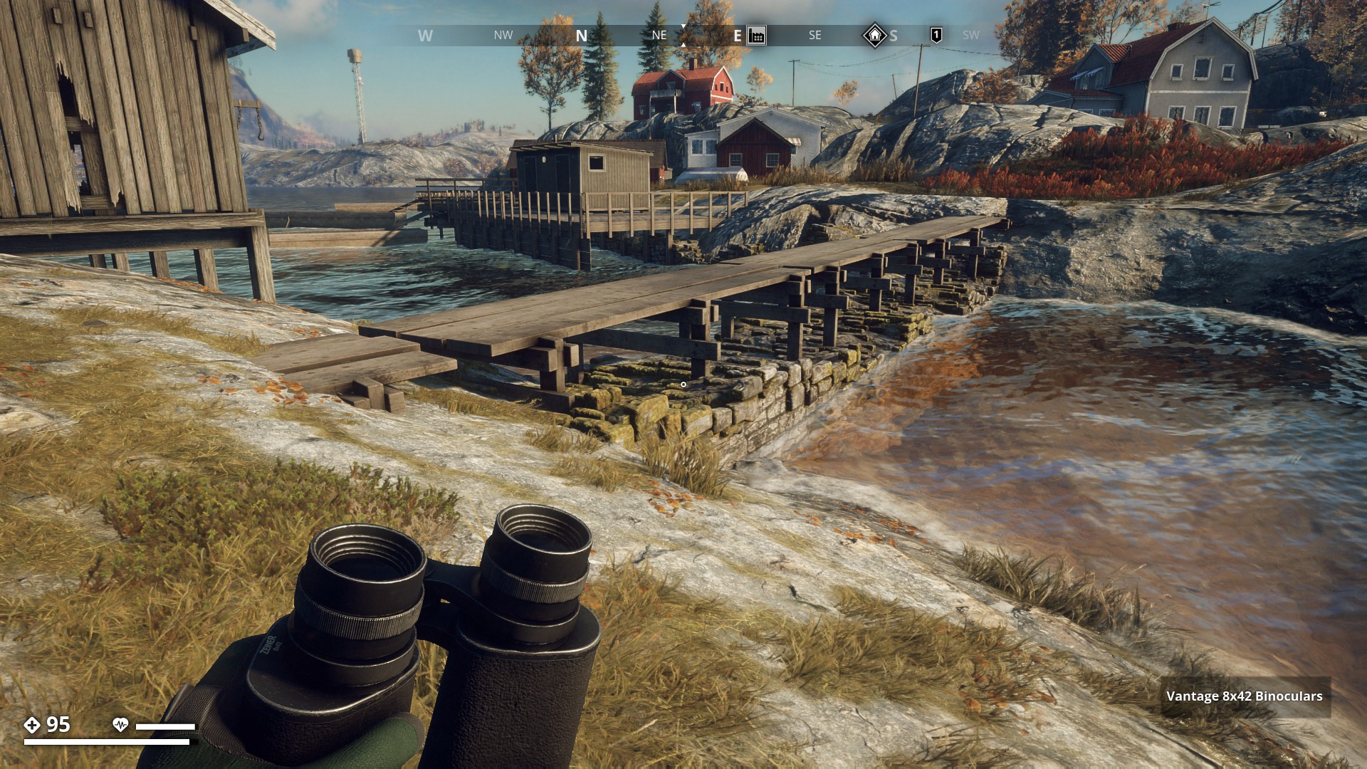
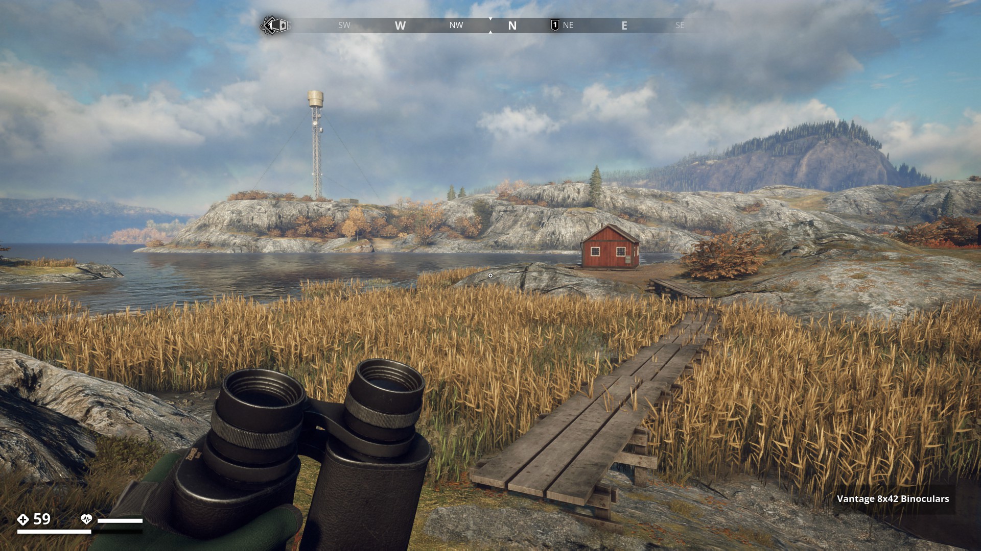
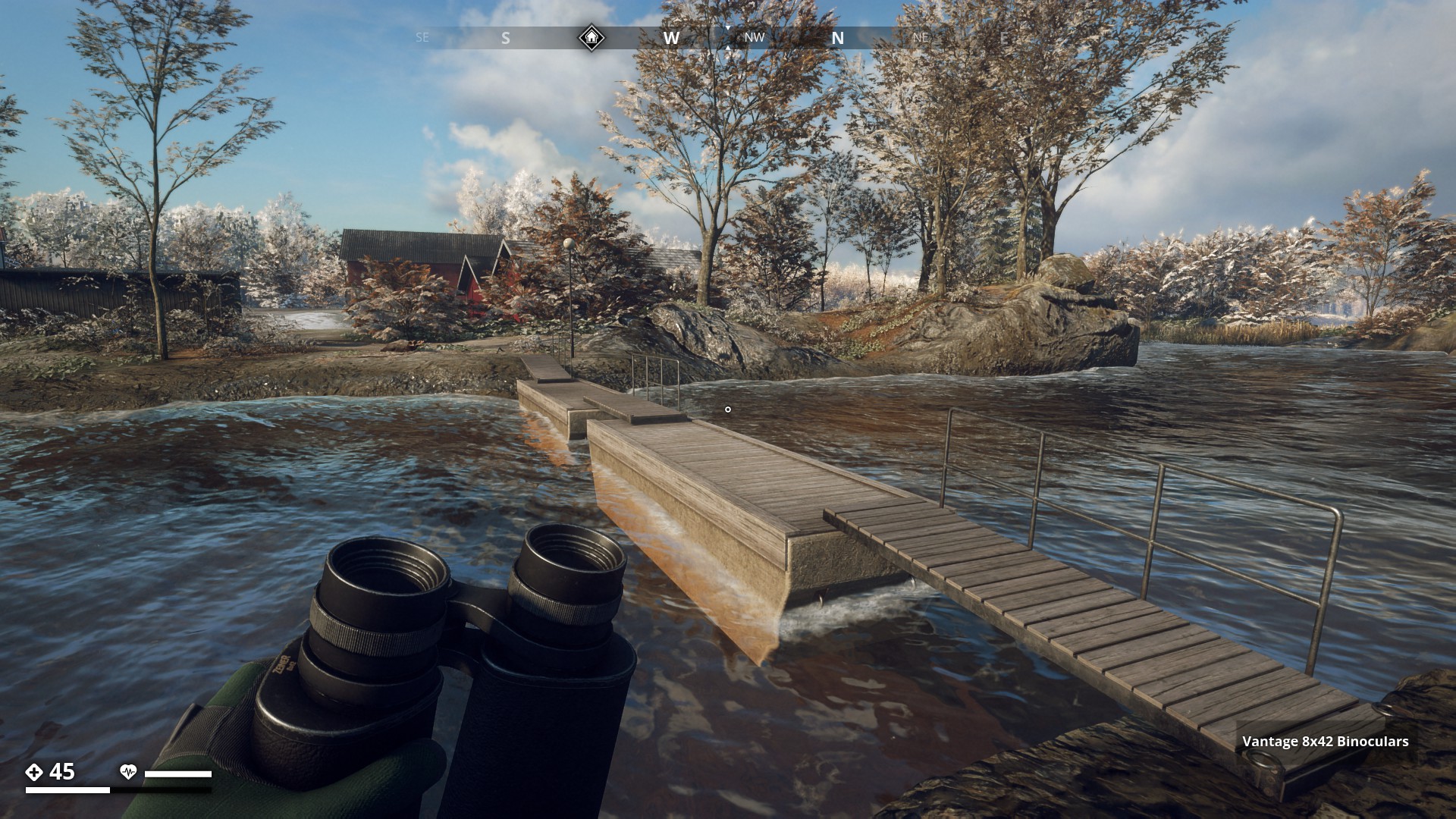
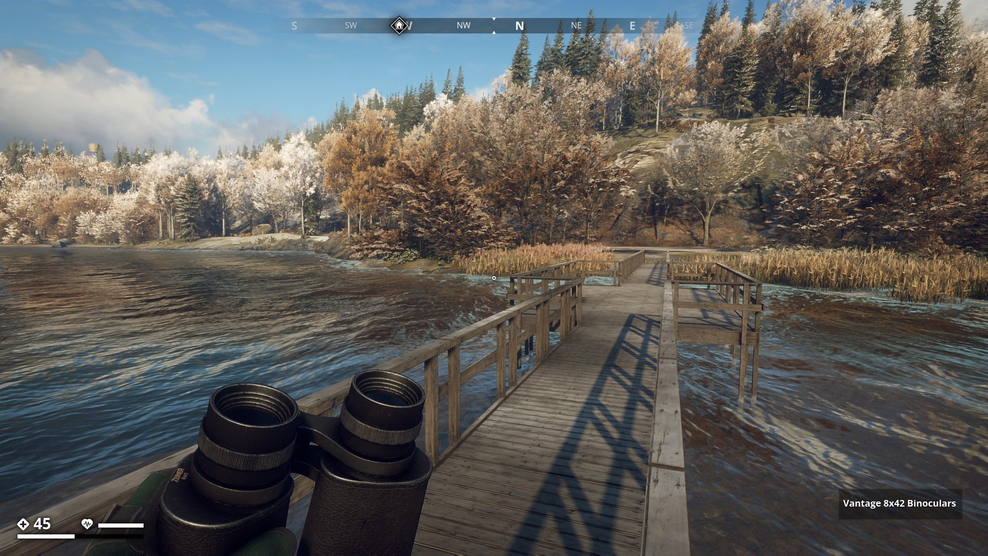
Route 10: Bridges & Walkways - Click here
Bridges and Walkways
![]()
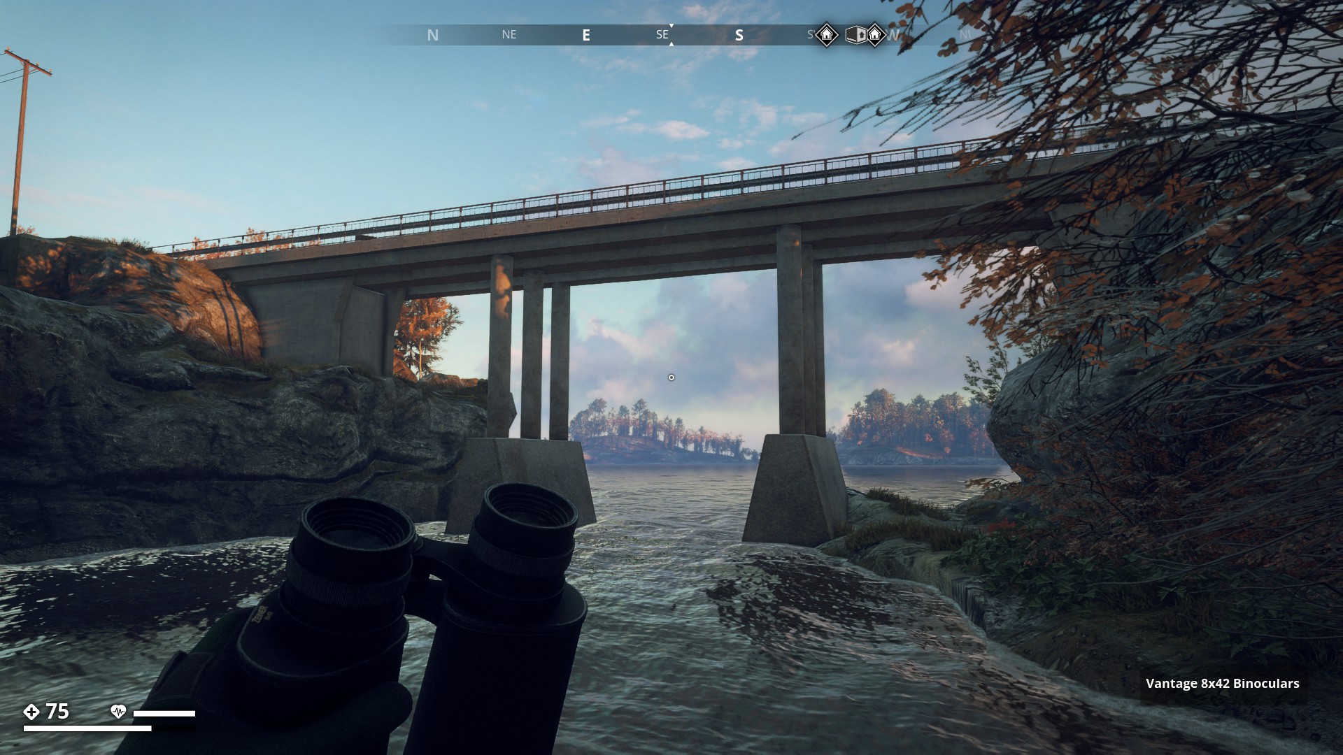
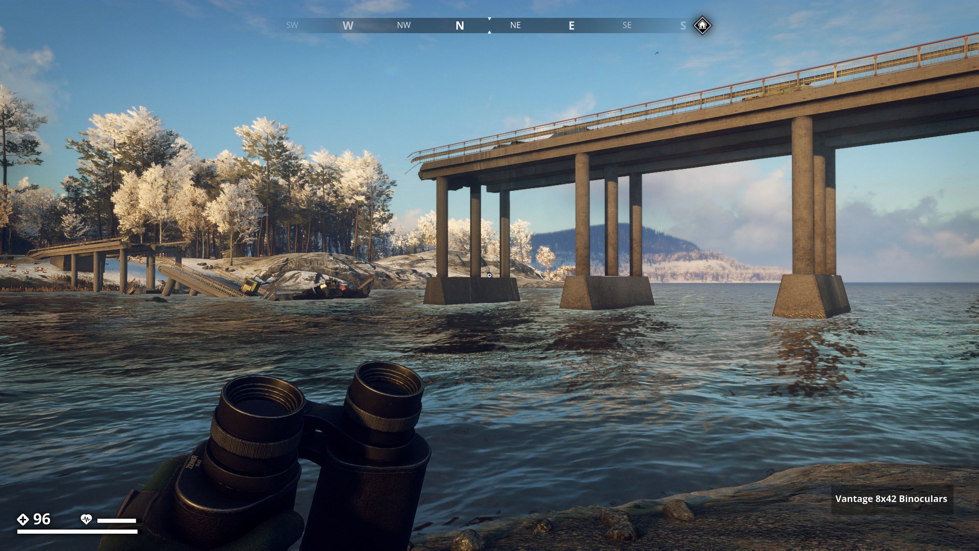
There are many Bridges and Walkways to find. Let’s run past all those I found so far. Starting in Archipelago. This is the long bridge from Norra Saltholmen to Södra Saltholmen.
▼

This Bridge leads to Salthamn.
▼
This old Stone bridge leads to Måsskär Resistance base.
▼

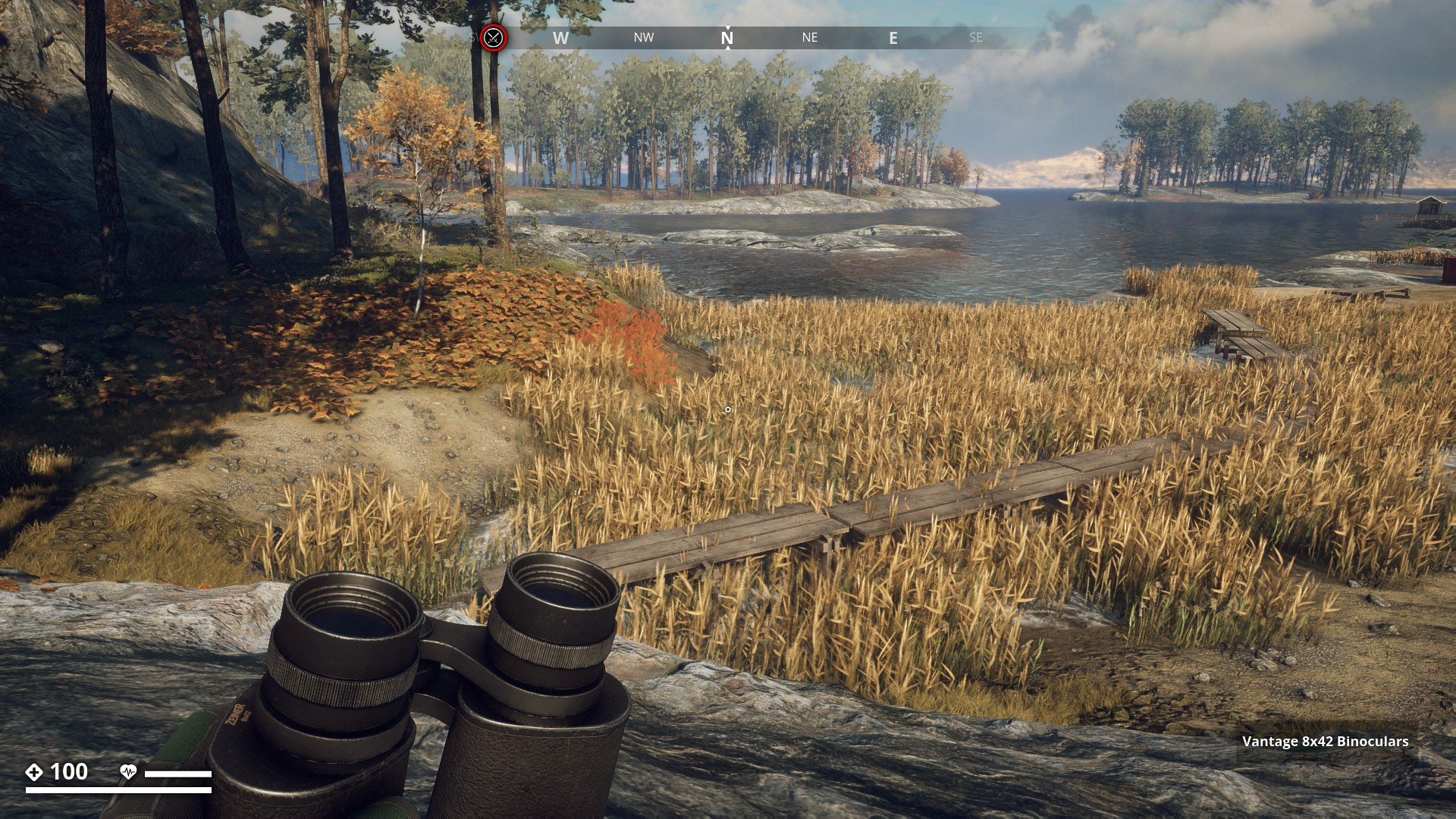
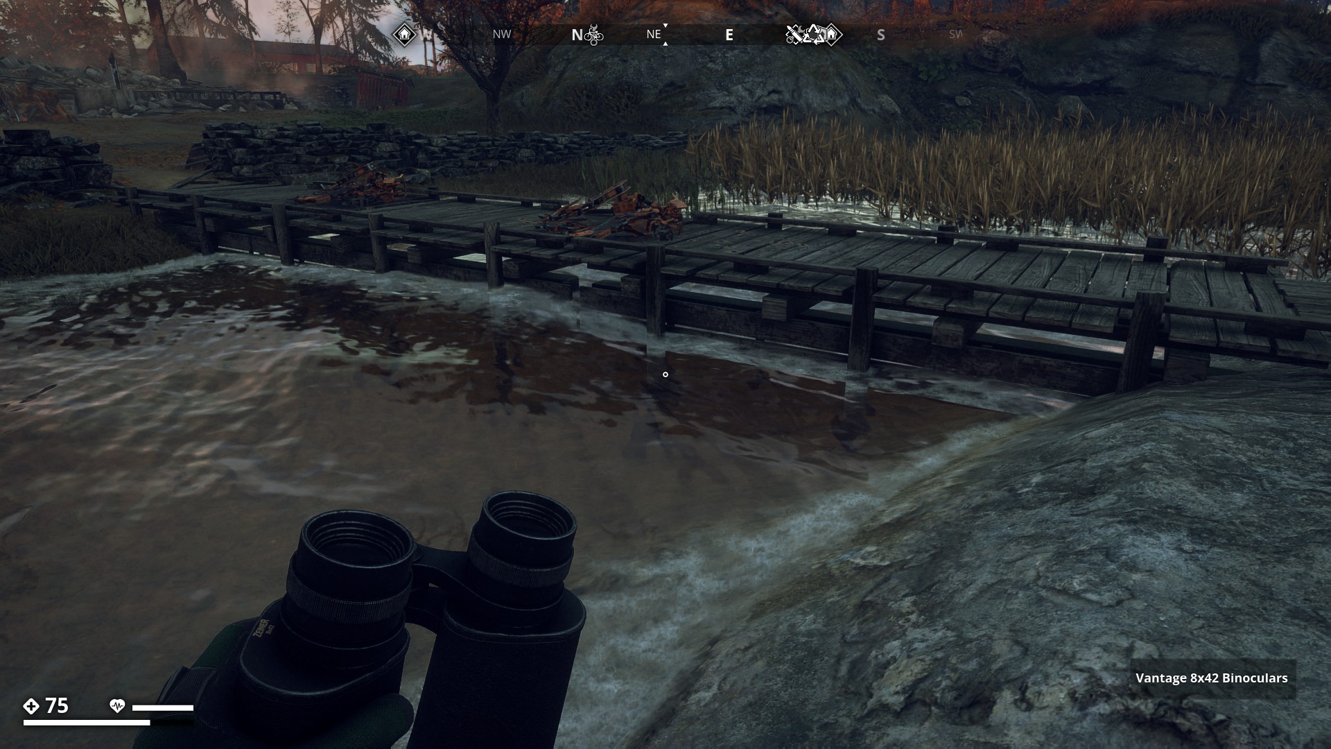
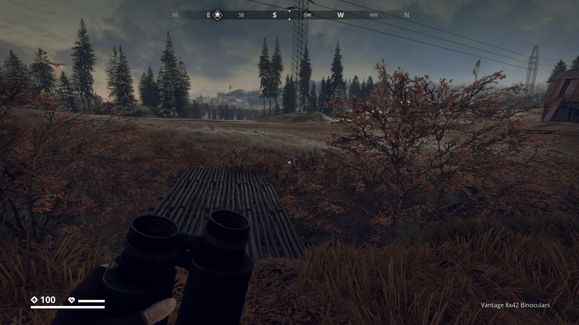
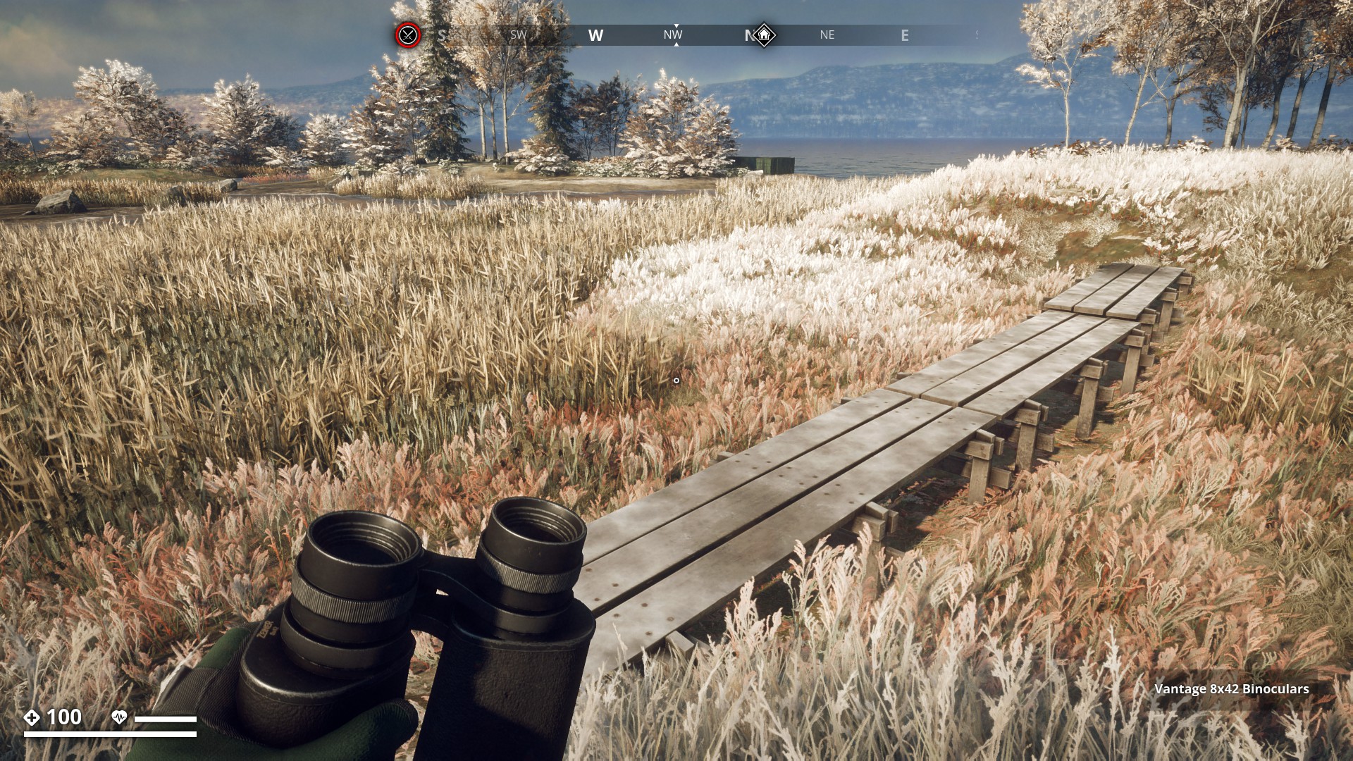
Walkways are not really bridges, but they make crossing the swampy path much easier. You can find this long walkway North of Seggesta farm.
▼
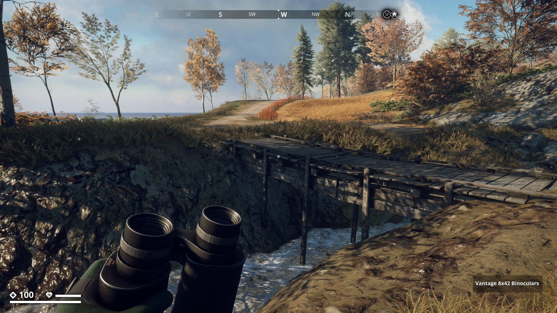
A small and simple, but effective, wooden Bridge at Hastvik.
▼
This wooden passage leads from Saltholmsbro to the main Archipelago island.
▼
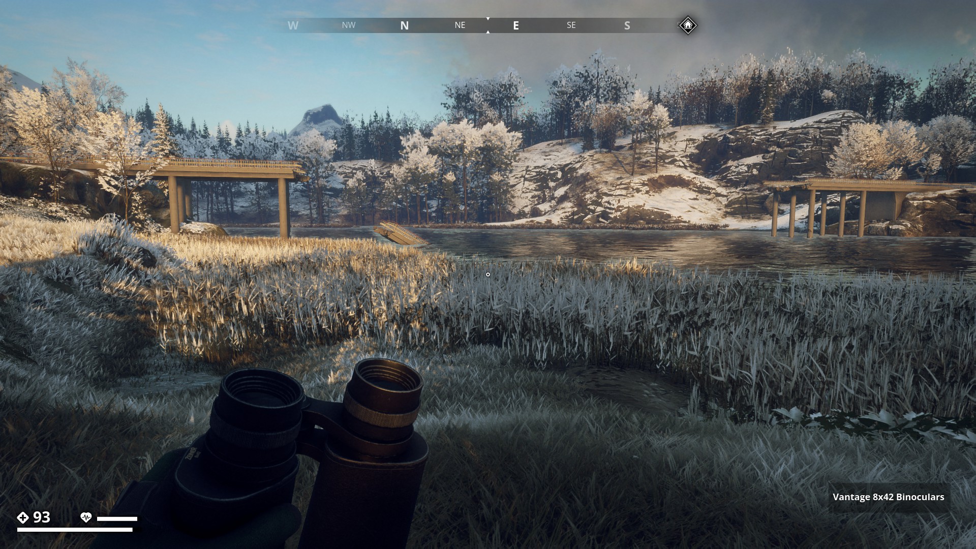
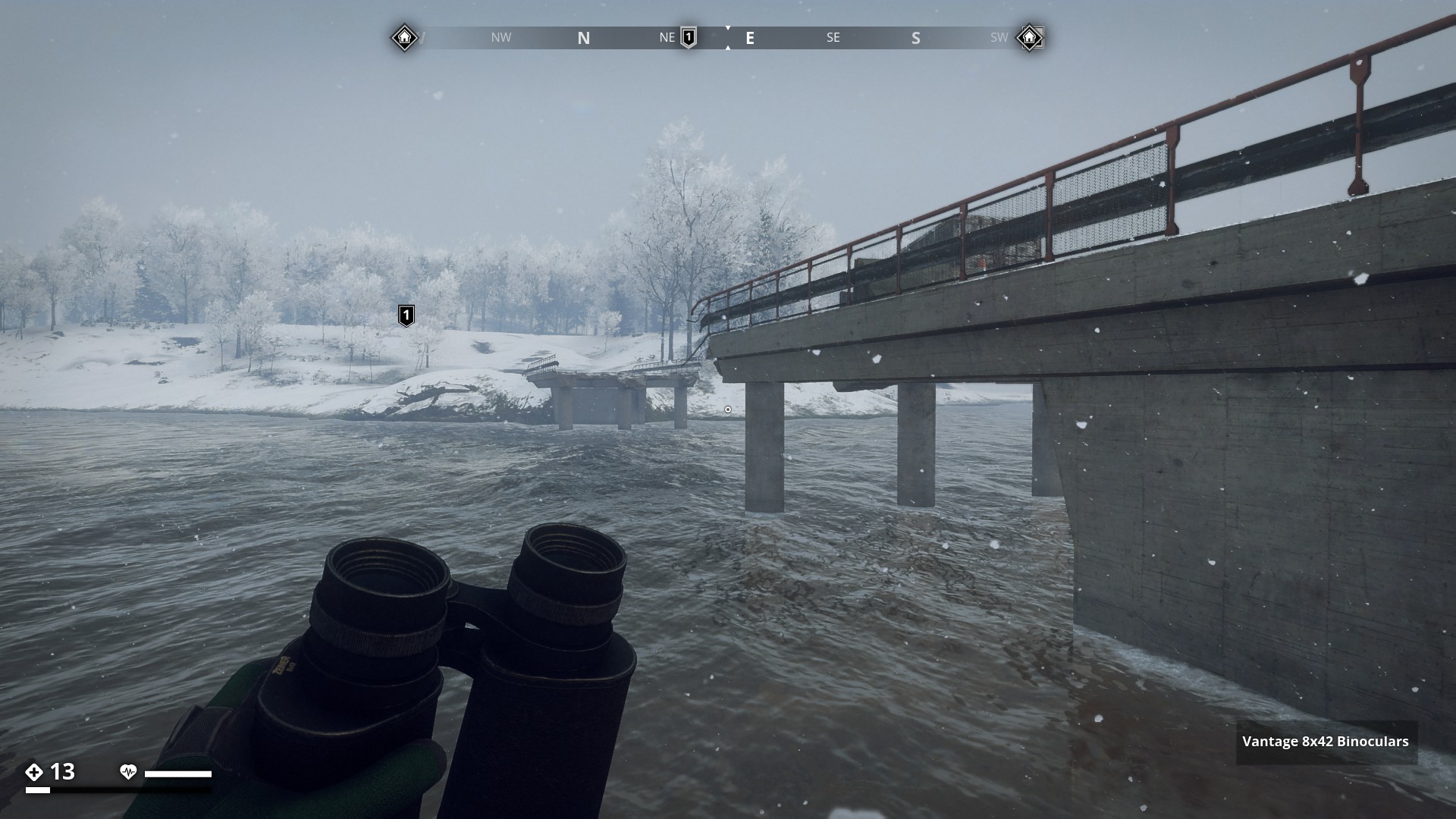
Next I checked out the Forest Region. This broken bridge near Sundgård leads to a big unknown island at the East.
▼
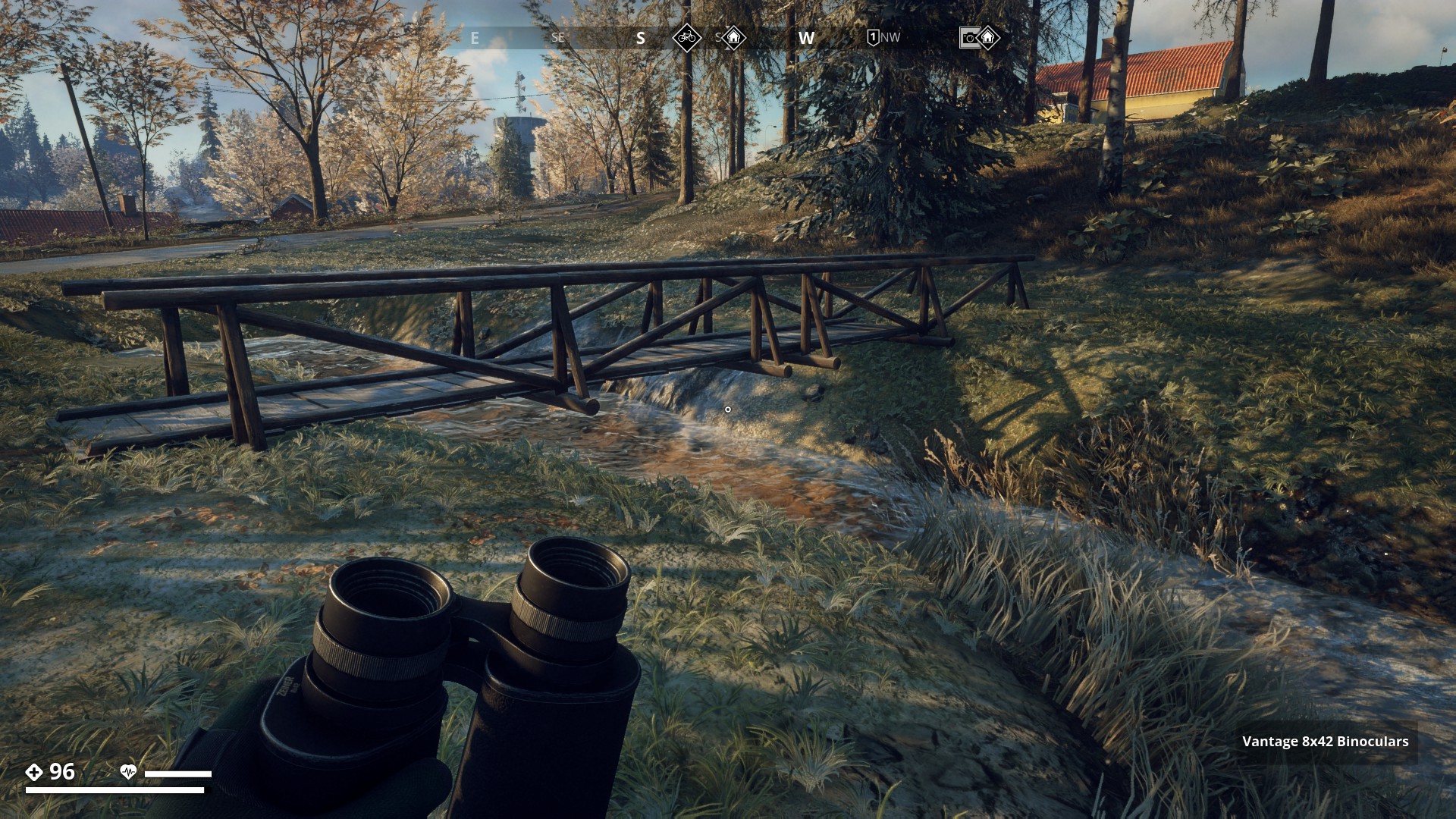
This cute little wooden bridge near Kyrkparken crosses a narrow stream. With my boosted jumping boots and pants I could jump across the water if I wanted.
▼
A small wooden bridge with a balustrade near Påskallaholm. Very nice view.
▼
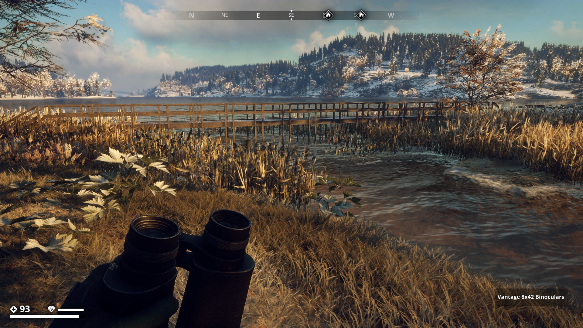
This wooden pier bridge will get you to Littorp with dry feet.
▼

I’m at the bridge near Lillå Settlement leading to the Farmland Region. Close to the river all I hear is the wind and the birds.
▼

Farmland Region is next on my list. This is the one near Stralsund which is totally destroyed.
▼
Broken wooden Pier Bridge east of the Skinnarbol Crater crossing the Överbyan river. Although broken it is still crossable. In the background, one of Don Don Quixote’s Giants is on Fire.
▼

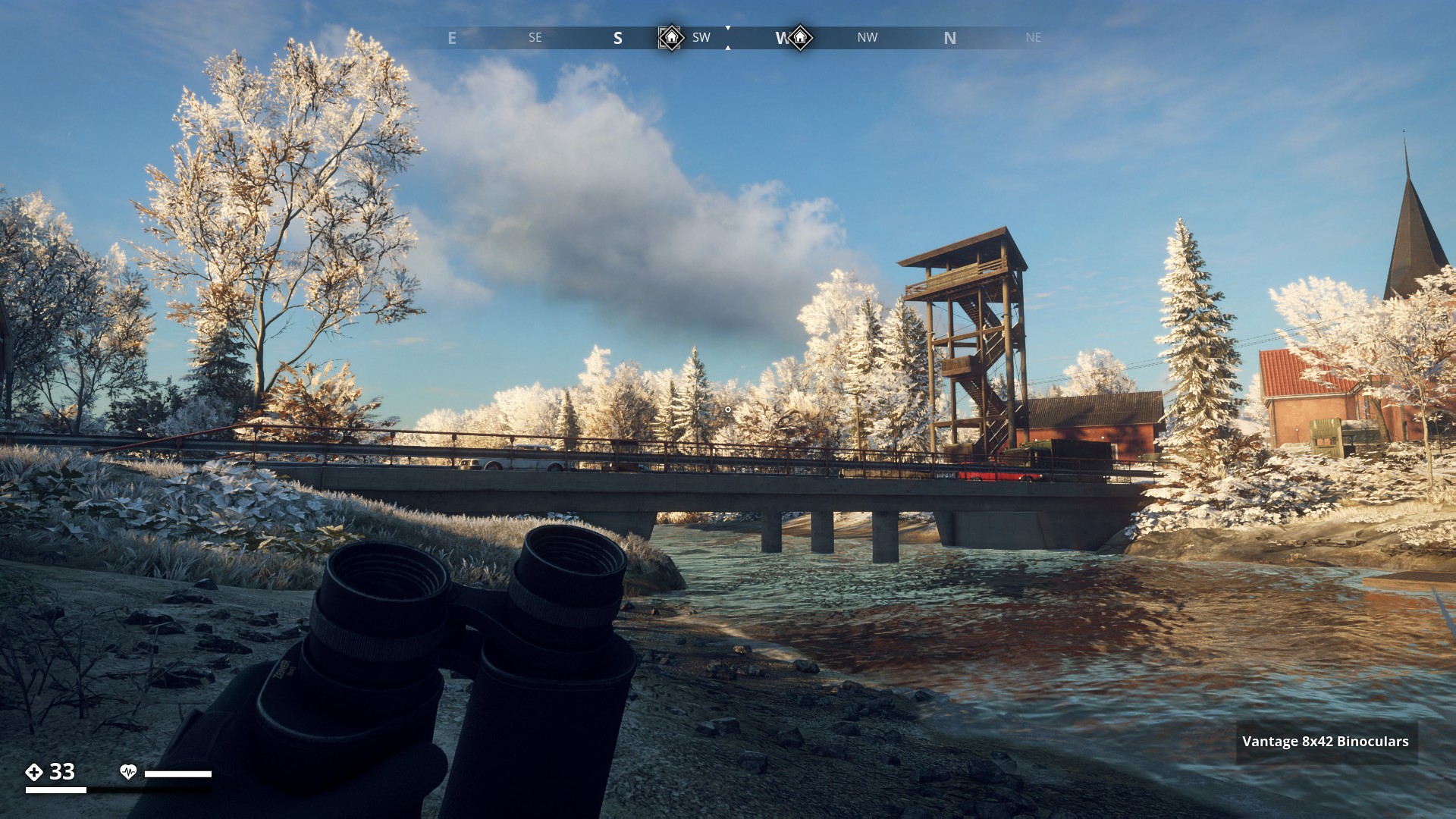
Bridge over Boobron, really recognizable with the lookout tower next to it.
▼
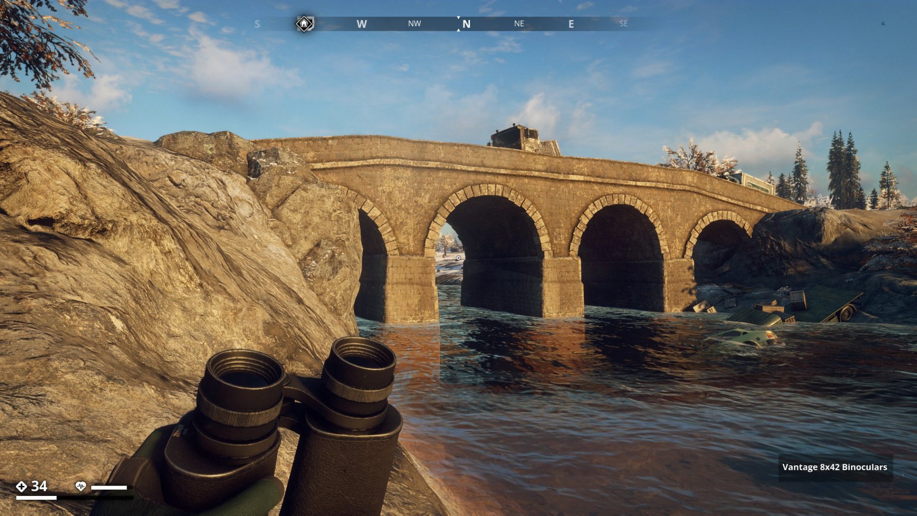
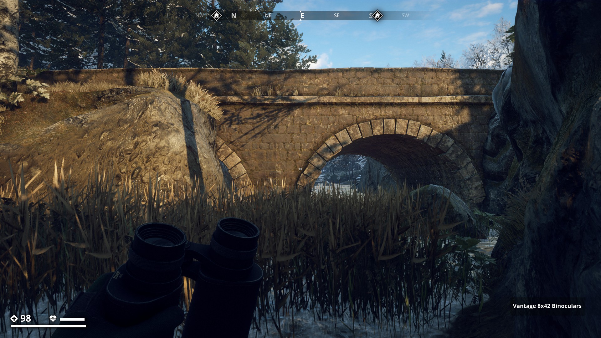
The Överby Bridge is a beautiful old stone bridge East of Skinnarbol.
▼
Small wooden bridge over gully near Guldangen Control Point.
▼
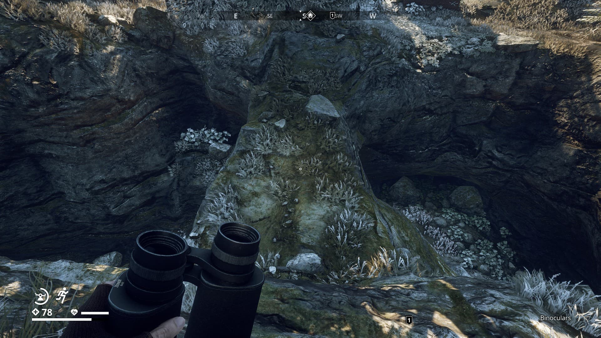
Natural rock bridge at Annagruvan structures
▼
Pic coming soon
Next I ran across snowy Himfjäll Island and shot this broken bridge east of Österhällen leading to a small Island called Djupskäret.
▼
Gäddön has a nice straight wooden Pier bridge on poles. It looks like it’s been built yesterday. There’s absolutely no sign of subsidence.
▼
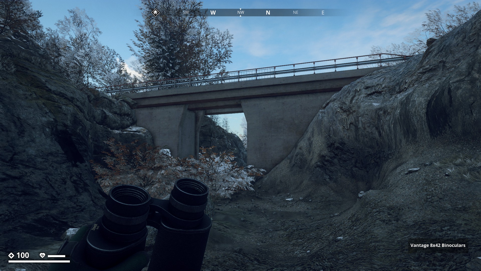
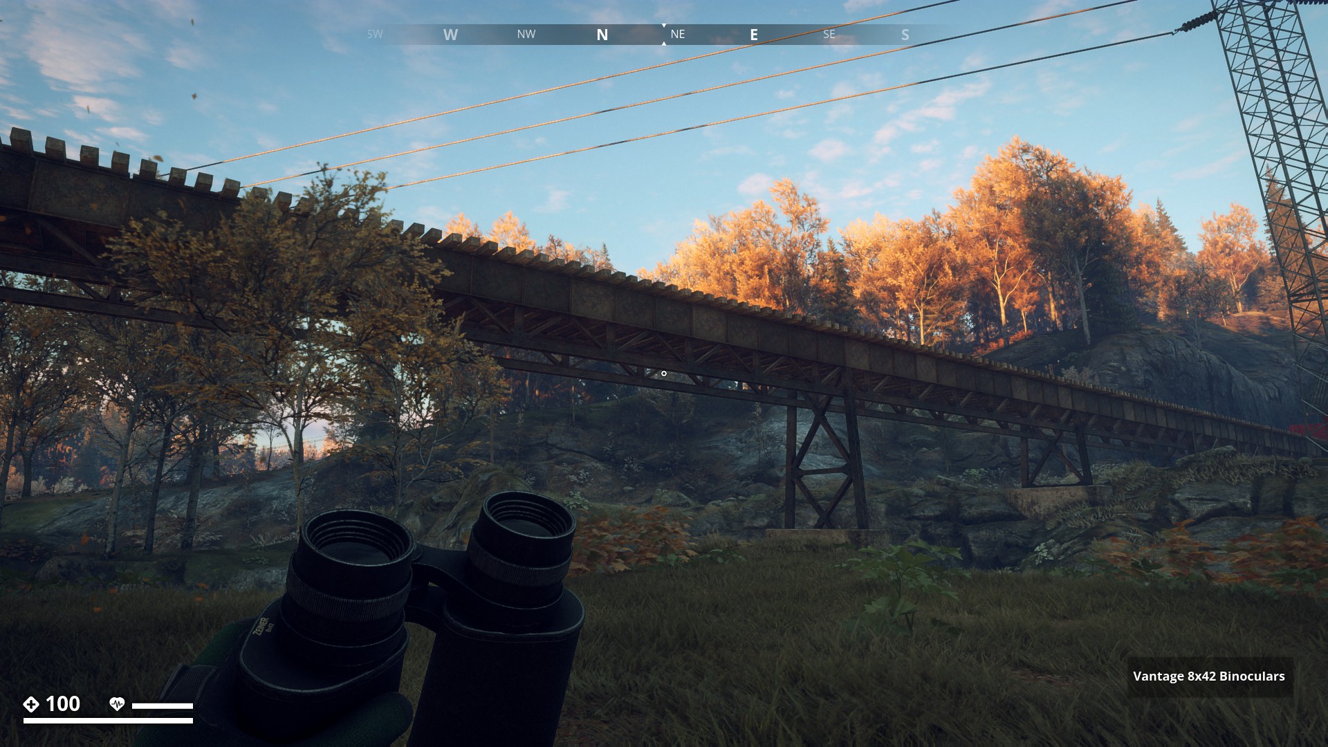
Then I went to the Mountain Region to get a picture of the bridge near Klinte.
▼
I am standing in the water, only knee deep, looking at the bridge near Muskudden Port Facility.
▼
A nice but narrow cable bridge crosses the Muskudden basin. Providing a shortcut to the Overseer’s Villa.
▼
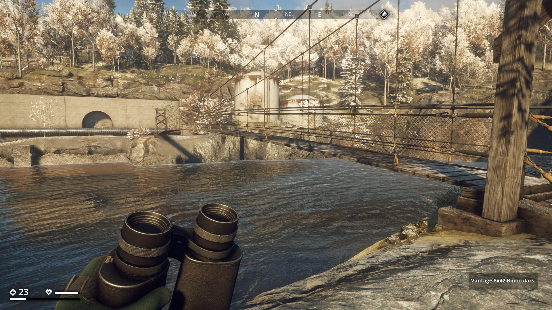
Elevated railway (bridging the valley), that comes from Muskudden Port Warehouse and goes towards the Factory entrance RÖ (Redovisningskansli Öst) to the left.
▼
From The mountain Region I travelled to the Marshlands, where near the Skyteclubb this small stone bridge is found, with one of its two arks totally blocked.
▼
The broken Östertörn Bridge north of Stenmyra leads to another small and, for now, unreachable Island and the main land.
▼
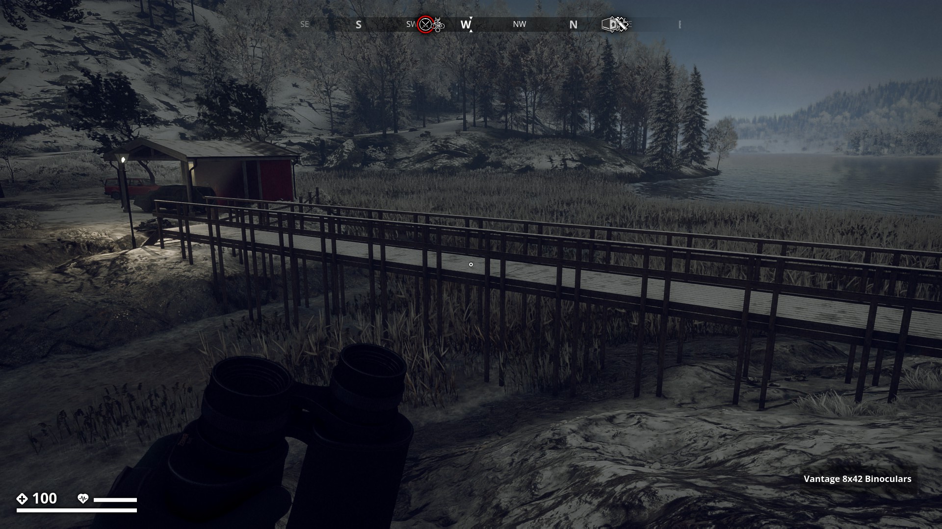
Near Borgakulan I found this raised wooden walkway. For walking comfort I guess.
▼
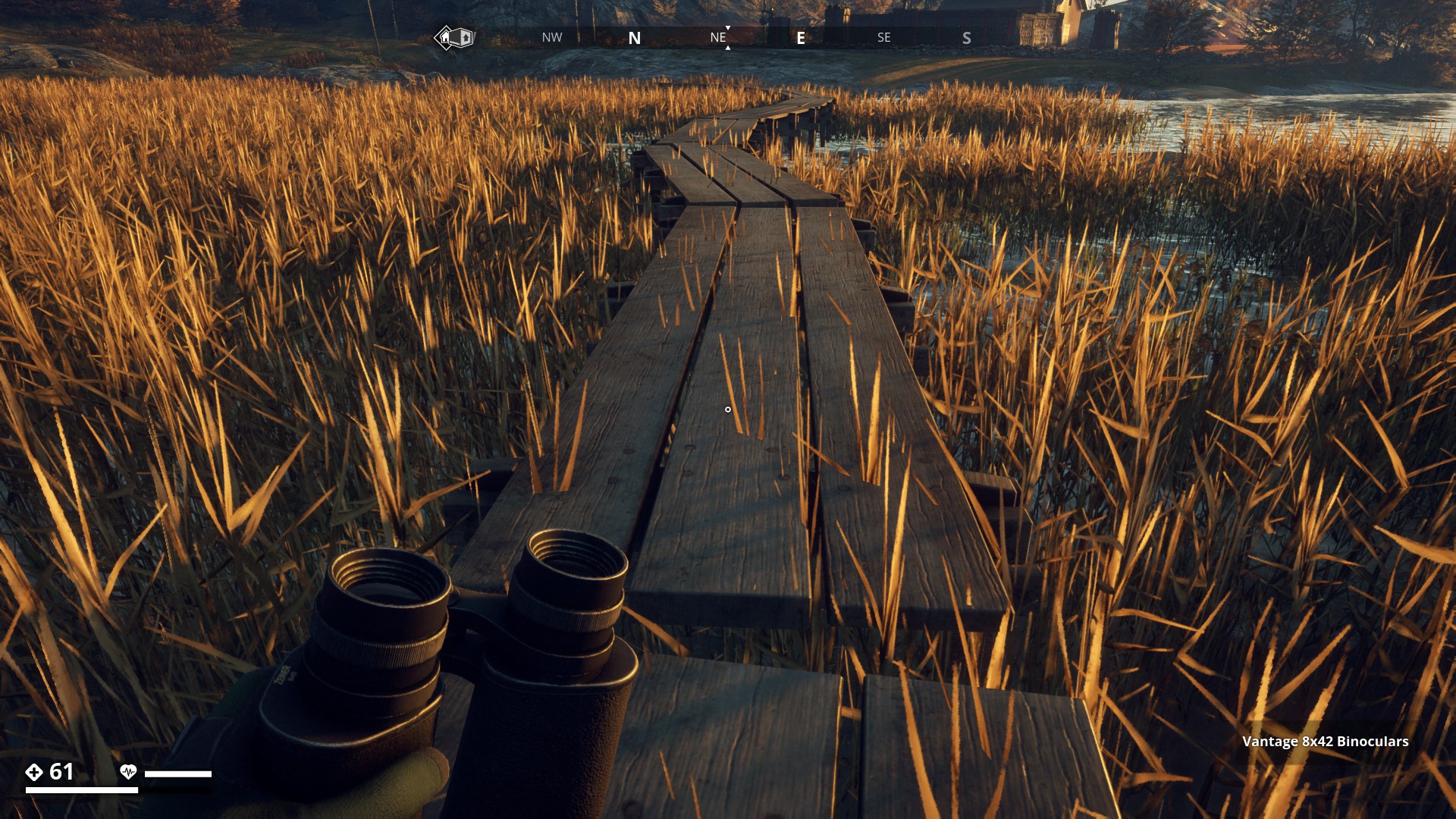
On the South Coast this very long curvy walkway meanders through the reeds close to Tokeröd farm. It bridges from the savehouse to dry land.
▼
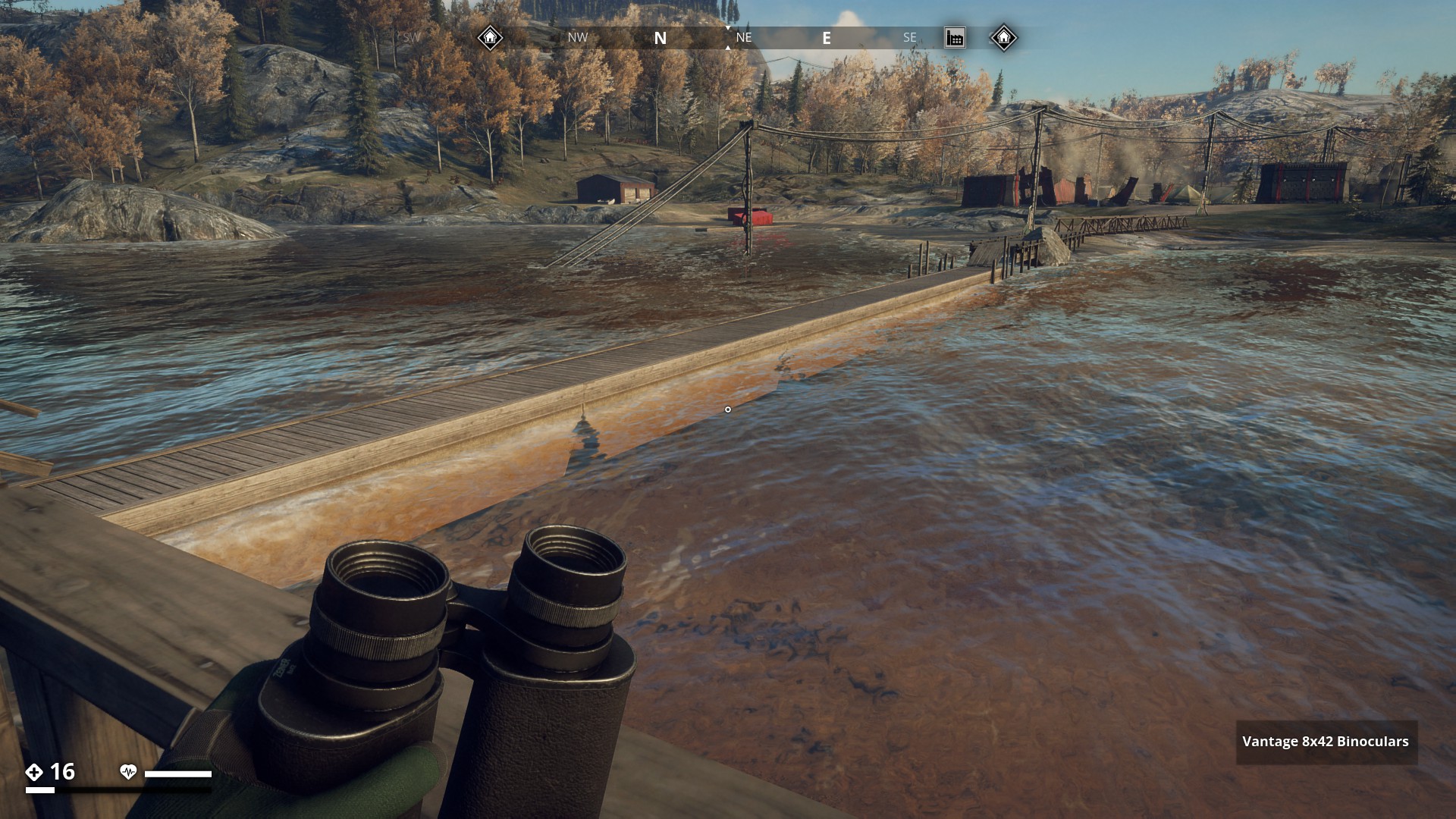
The Pier at Brevekins Camping connects the small savehouse island to the the South Coast Region.
▼
A strong looking small wooden bridge with rather sturdy support posts near Annatorp.
▼
In Tangetil I crossed this wooden railless walkway bridging the gap. It has a stone fundament though.
▼
This wooden walk bridge, also at Tangetil, really contributes to make it a wonderful sunny picture.
▼

Concete Bridge over Torsberga Ravine. (Recon Update)
▼

Wooden bridge to islands west of Lännbacka (Recon Update)
▼

Wooden pathway near Lännbacka.
▼
Funny Pontoon bridge north-east Stenmyra.
▼
Pier bridge to a safehouse camp on small island in Lake Avern north of Helgaryd.
▼
Another nice and narrow cable bridge crosses over the largest ravine so far in the game. It’s located east of Sorken bunker in Farmlands.
▼

9 Likes
Hello Gysbert, this is another nice hiking route. Really beautifull. 
1 Like
Thanks, the GZ world is beautiful. 
Didn’t you like the first one: Route 1: Electrical Power Line ?
1 Like

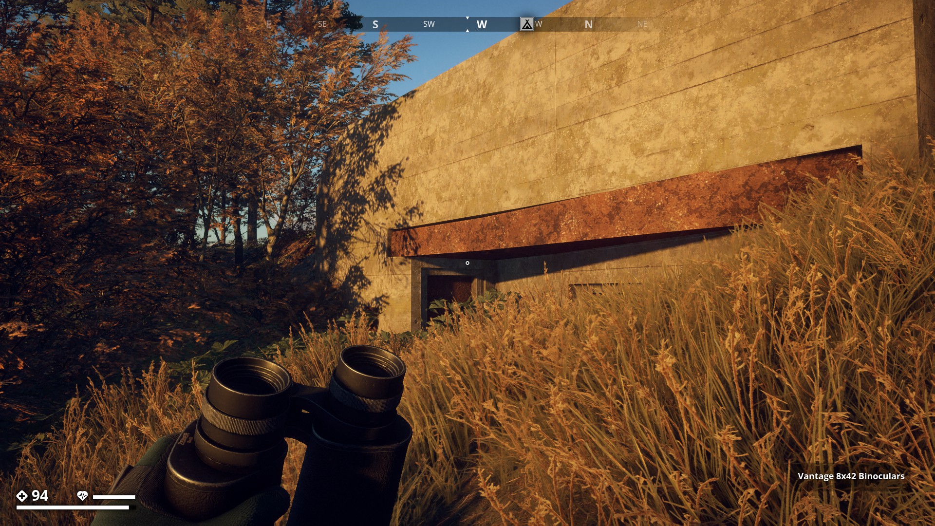
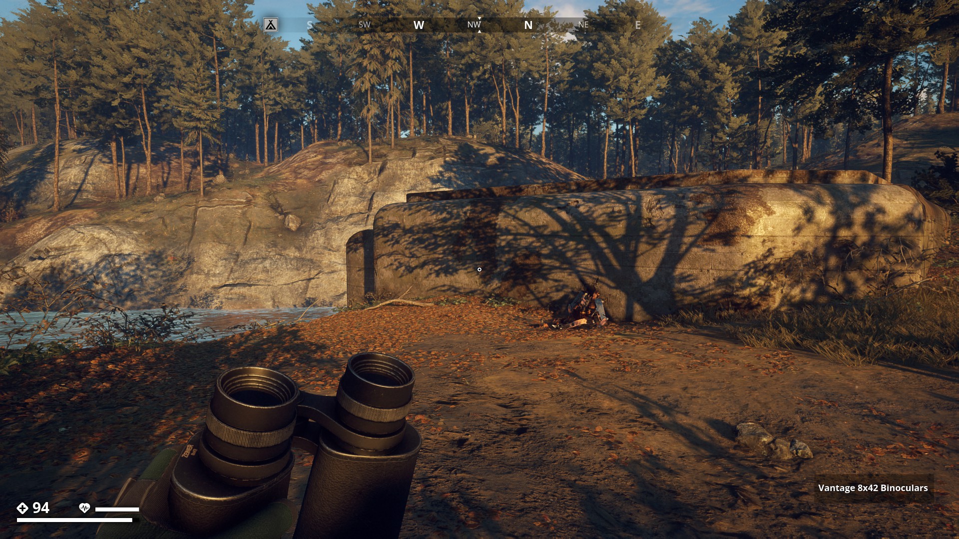
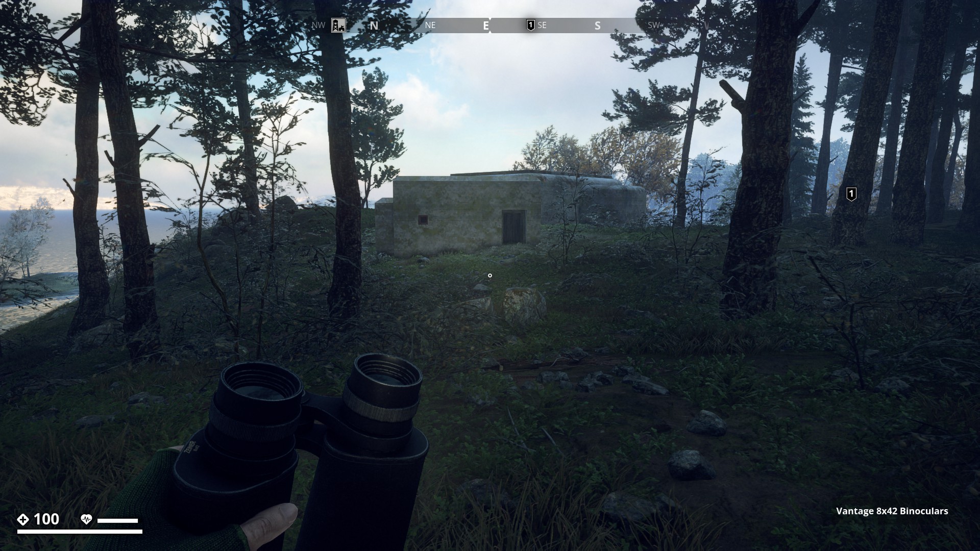
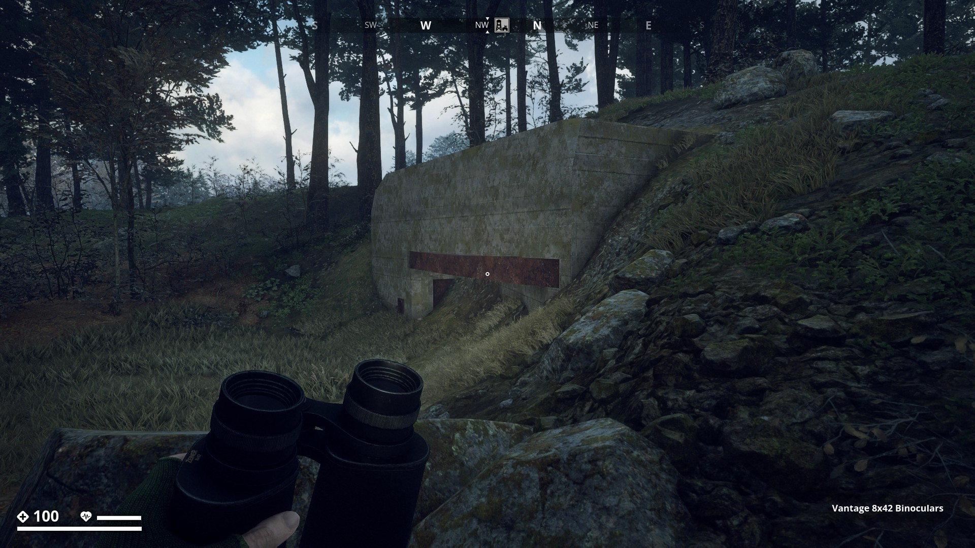
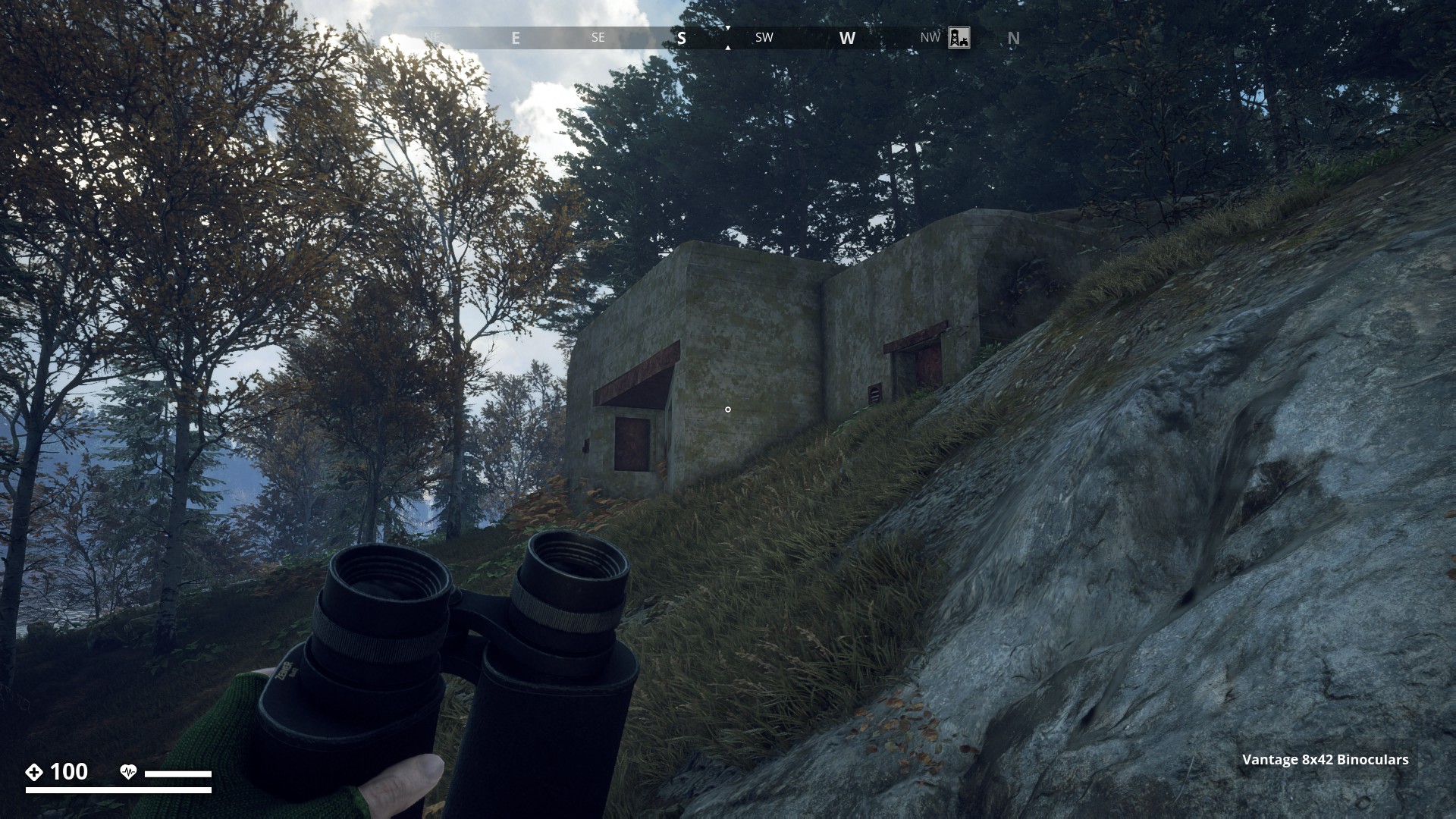
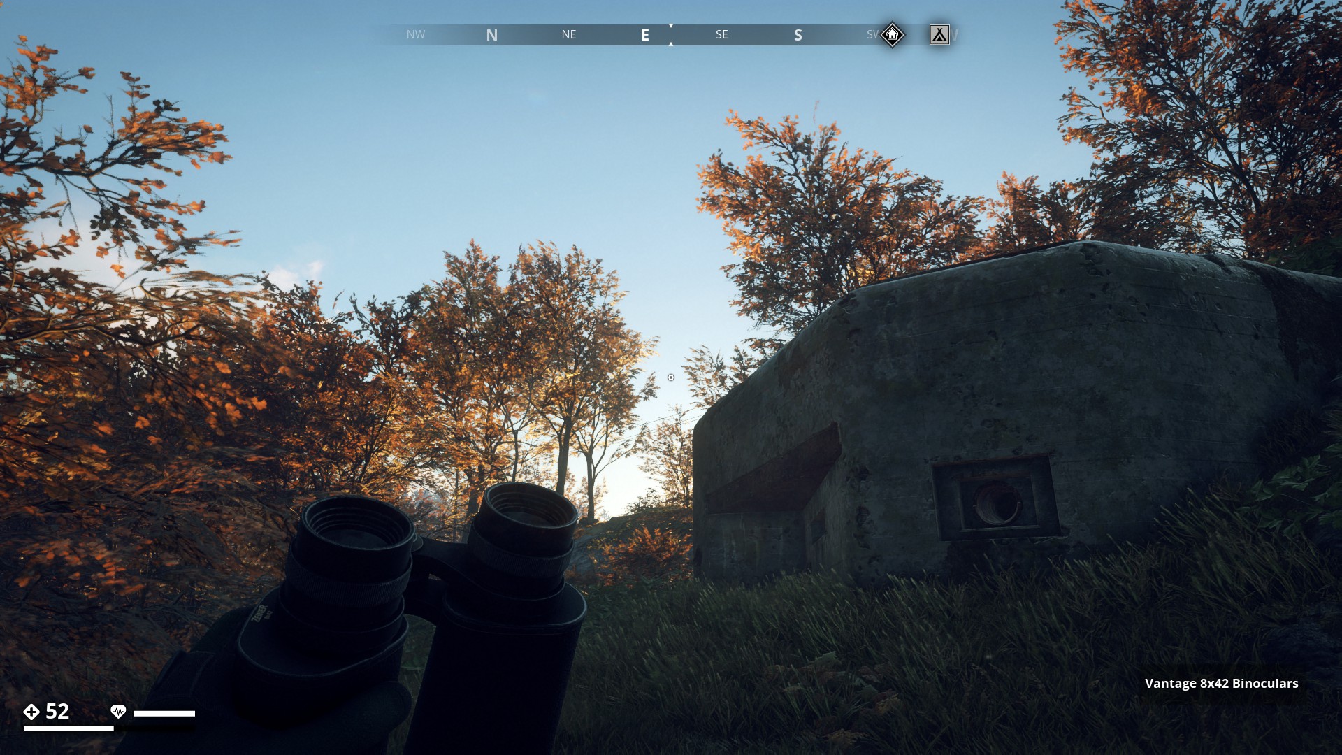
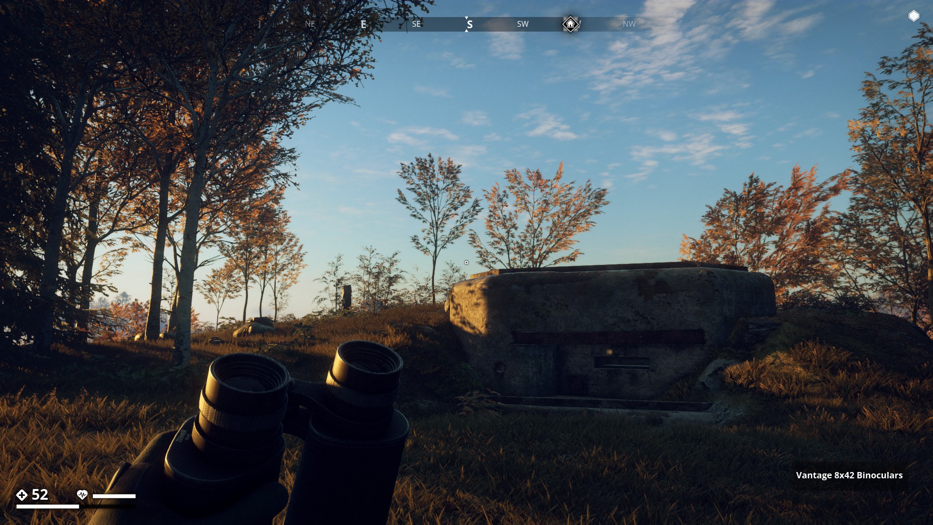
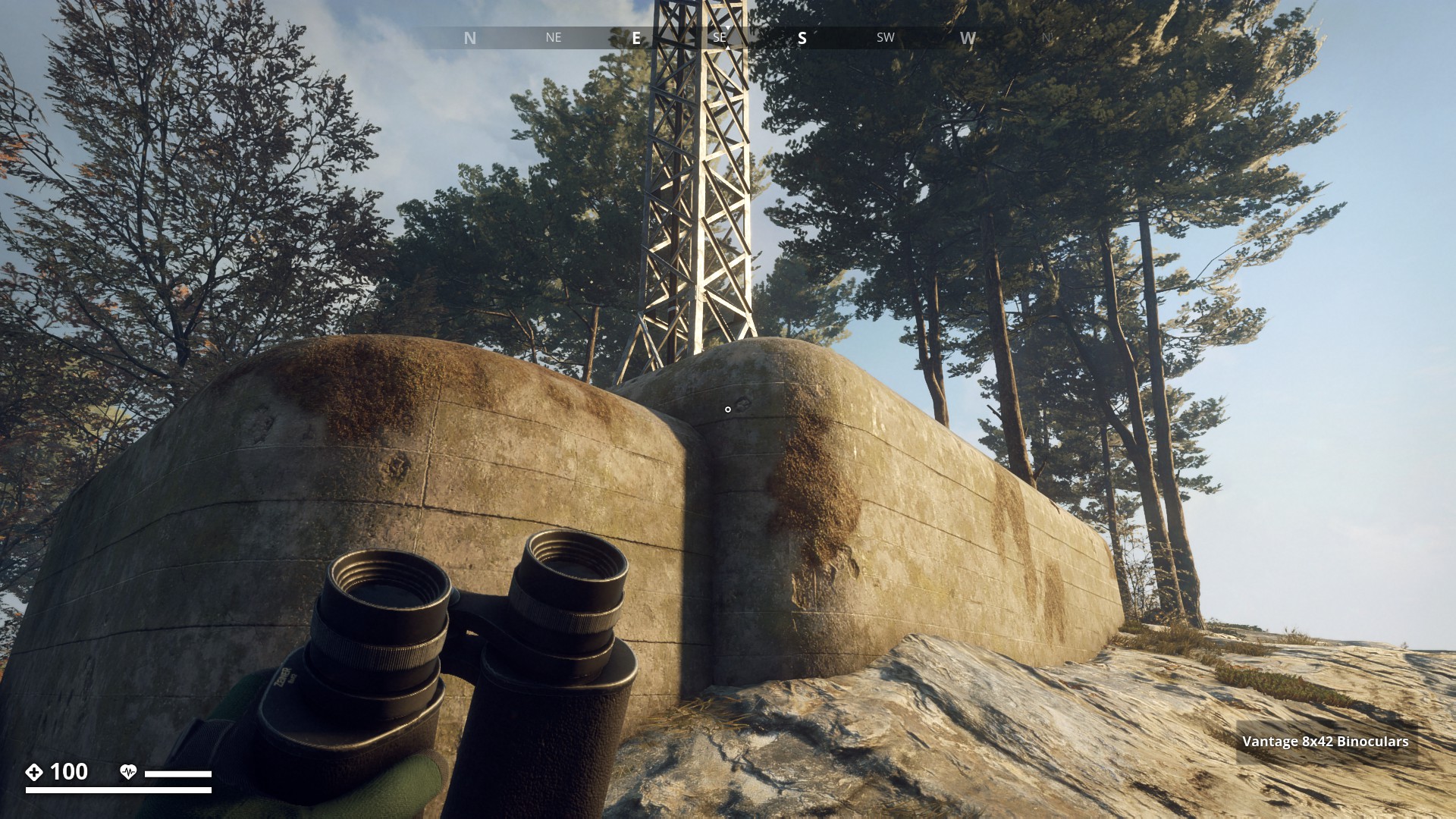
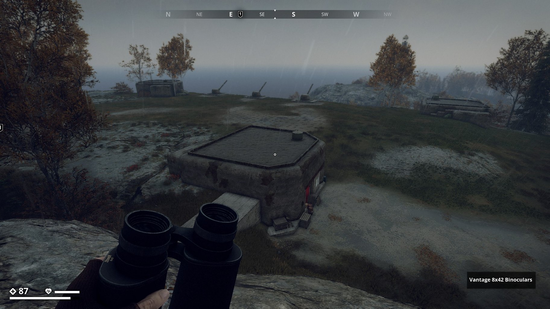
Route 11: Kasematt or Defence Bunkers - Click here
Kasematt or Defence Bunkers
![]()
On my travels through the Swedish game world, I came across a number of Concrete Buildings like the one, on this “Real world” picture below.
▼
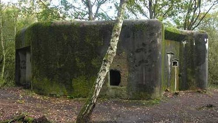
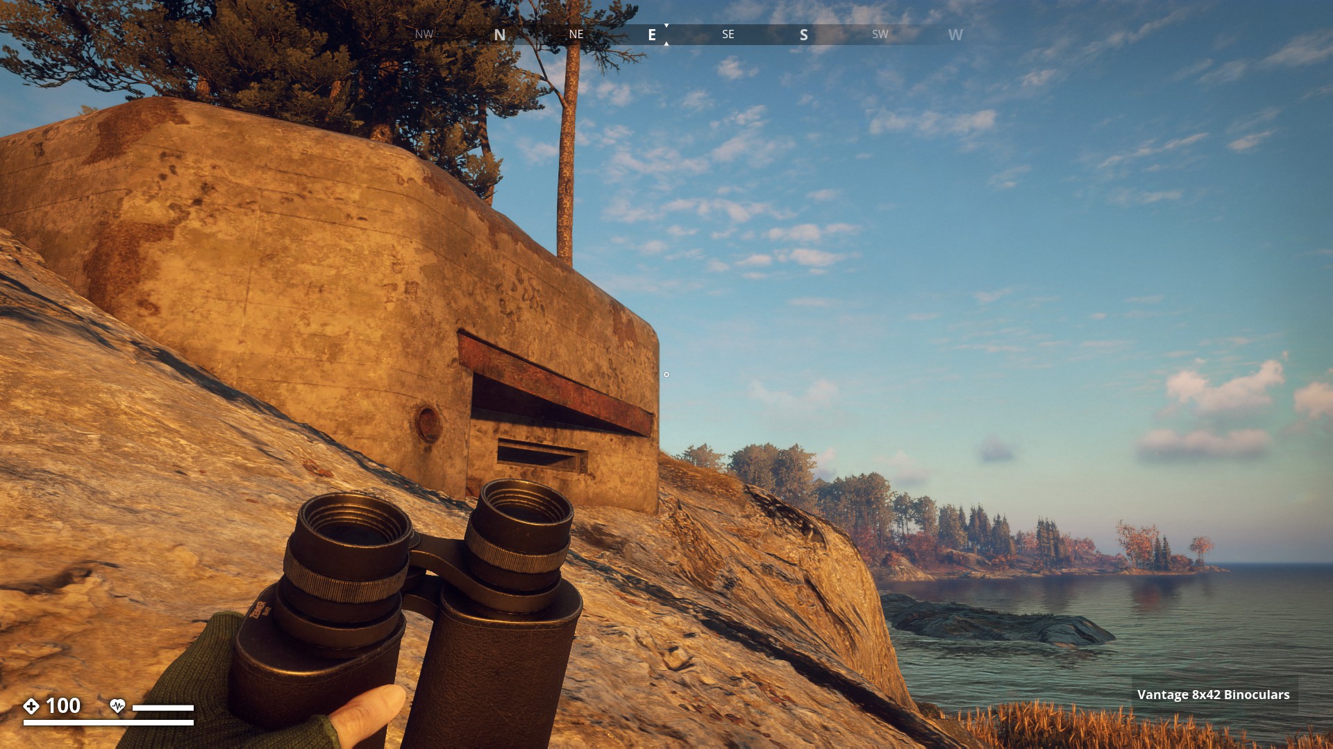
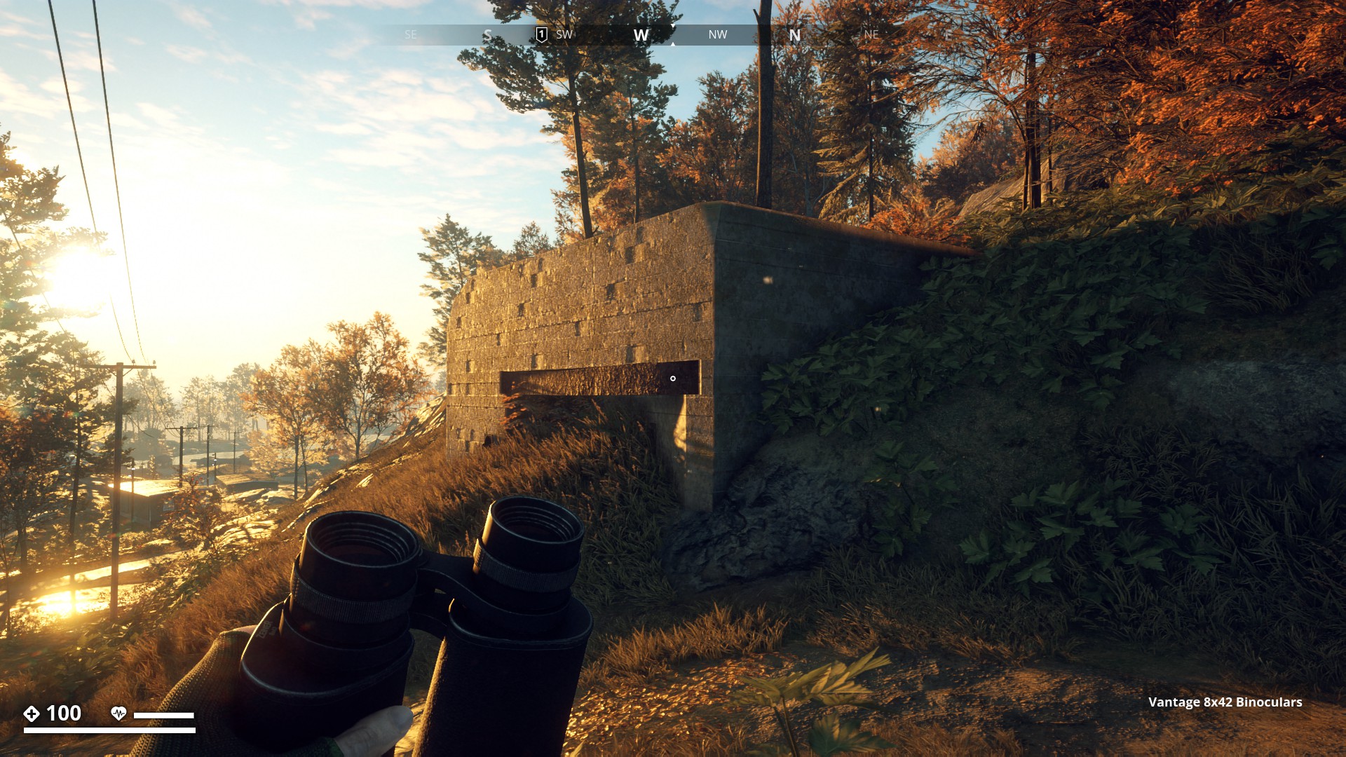
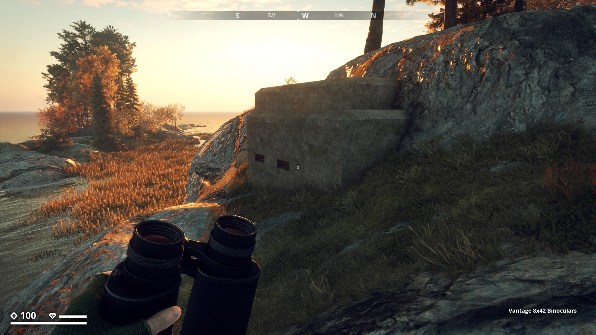
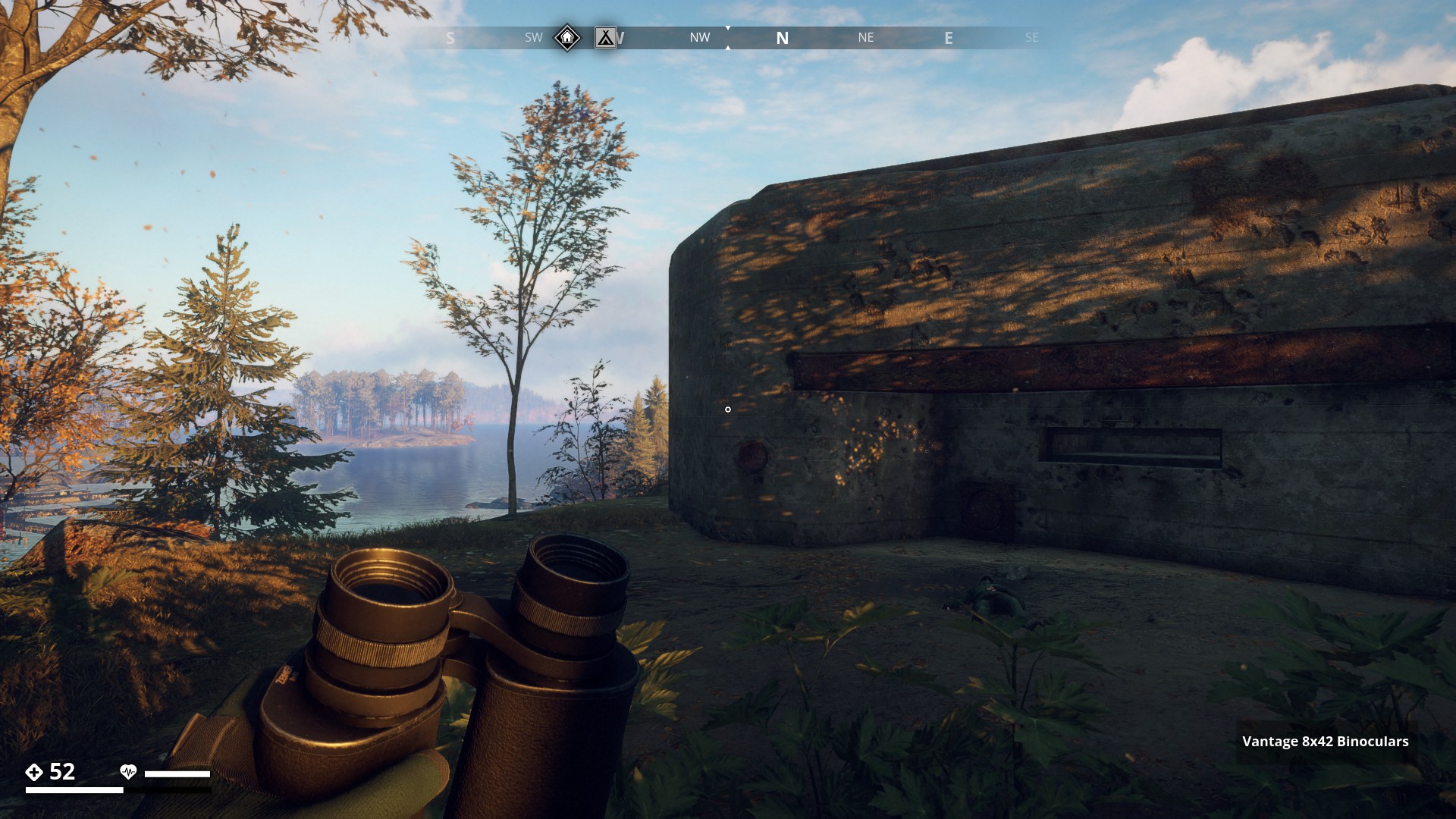
These often partially covered, independant defence works, most likely remnants of WW2 are military defense buildings that offer some degree of protection against shelling and bombing and were built of reinforced concrete. I found 19 Kasematt total; 14 in Archipelago, 1 in the mountain Region, 1 in the Marshland Region and 3 in the South Coast Region.
Archipelago_Region![]()
Starting off in Archipelago with a group of two Kasematt.
A kasematt at Saltholmstugan (1 of 2) -100, 3318.
▼
And a kasematt at Saltholmstugan (2 of 2) -123, 3265.
▼
Next a group of four kasematt which are all close together near Sandviken Camping.
A kasematt near Sandviken Camping (1 of 4) (~750, 2604)
▼
A kasematt near Sandviken Camping (2 of 4) (A)
▼

A kasematt near Sandviken Camping (3 of 4) (A)
▼
A kasematt near Sandviken Camping (4 of 4) (A)
▼
Then east of Saltholmen Naval Base there were five kasematt a bit more spread out, but still close together.
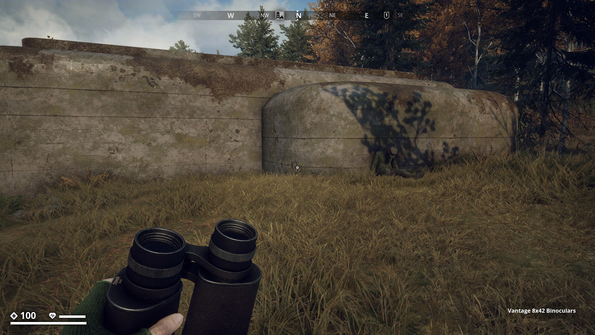
A kasematt (1 of 5) with a dead soldier at (836, 3865).
▼
A kasematt (2 of 5) at (926, 3952).
▼
A kasematt (3 of 5) with the power lines on the left at (955, 3910).
▼
A kasematt (4 of 5) close to the coast at (962, 3991).
▼
A kasematt (5 of 5) built in the mountain at (989, 3942).
▼

A group of 4 kasematt also close together I found near Salthamn Bridge on Iboholmen island.
A kasematt (1 of 4) near Salthamn Bridge (2133, 3052).
▼
A kasematt (2 of 4) near Salthamn Bridge (2193, 3035).
▼
A kasematt (3 of 4) near Salthamn Bridge (2263, 3145).
▼
A kasematt (4 of 4) near Salthamn Bridge (22114, 3108).
▼

Bunker with a Radio Tower ontop
▼
Mountain_Region![]()
First I thought these Swedish “Kasematt” bunkers were only featured in Archipelago Region. So I searched and searched and it seemed at first I was right. But then I found 2 more kasematt in two different regions. This one in the Mountain Region at -2854, 423.
▼
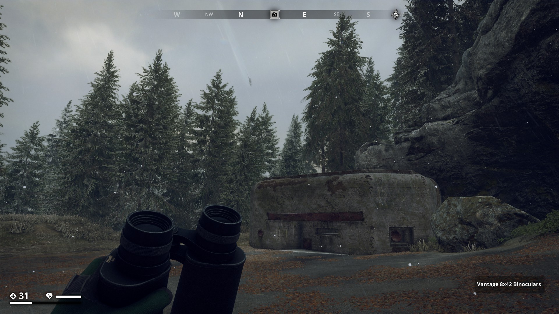
Marshland_Region![]()
And to end this Route, this nice icy one in the Marshland Region west of Norrmyra Artillery Base towards the coastline at -3000, -3127.
▼


![]()
South_Coast![]()
Three Kasematt at a rainy Sillavik Artillery Site (Recon Update)
▼
10 Likes
Hi Gysbert, another interesting hiking route.
The first time i saw this kasematts i thougt it was a part of air ventilation for the bunkers. As i saw the first kasematts at the very end of Ibboholmen near the bridge to Salthamn. It has make me think of that idea. Yesterday I made a hike from Granthorp over the bridge to Salthamn Church and on my way to Dyviks Udde i came along the kasemattes at the Sandviken Camp. I tried to get in because there was a wooden Door at the back end but you can’t open it. I fired a HEP Bullet at it but nothing other happened that i killed myself 
2 Likes
I think there might be a small one on himfiel around the artillery base to the southeast @Gysbert I’m not sure but I remember something like it there
2 Likes
I would be nice to actually enter some of these, wouldn’t it?
2 Likes
I’ll go and check. Thanks.
Edit: Haven’t found anything, so if you come across it again please send me the coords, so I can get a nice picture of it and add it.
2 Likes


Of course, but when I looked  it was no longer there.
1 Like
It disappears once you complete the side mission: “Colonists”.
Alien colonist is
Prototype hunter
1 Like
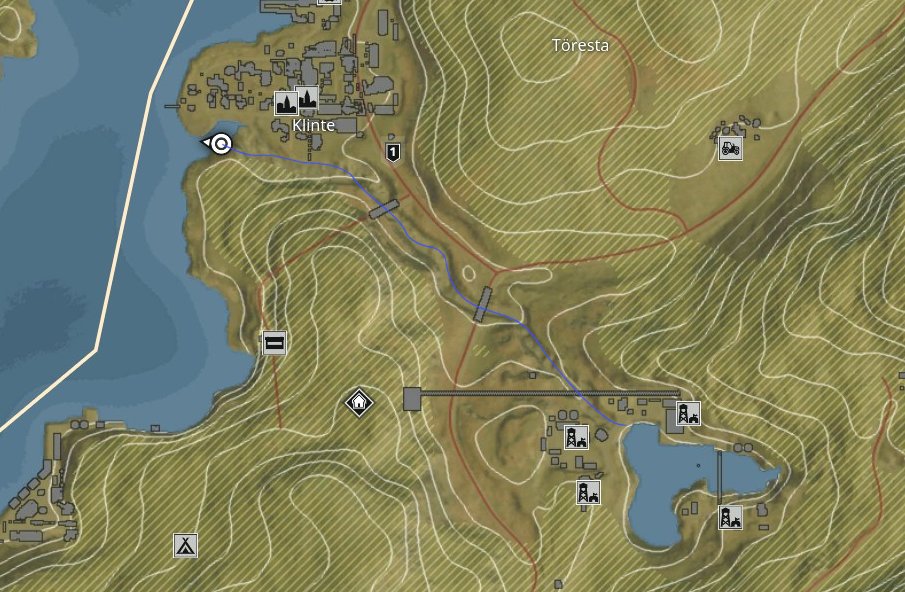
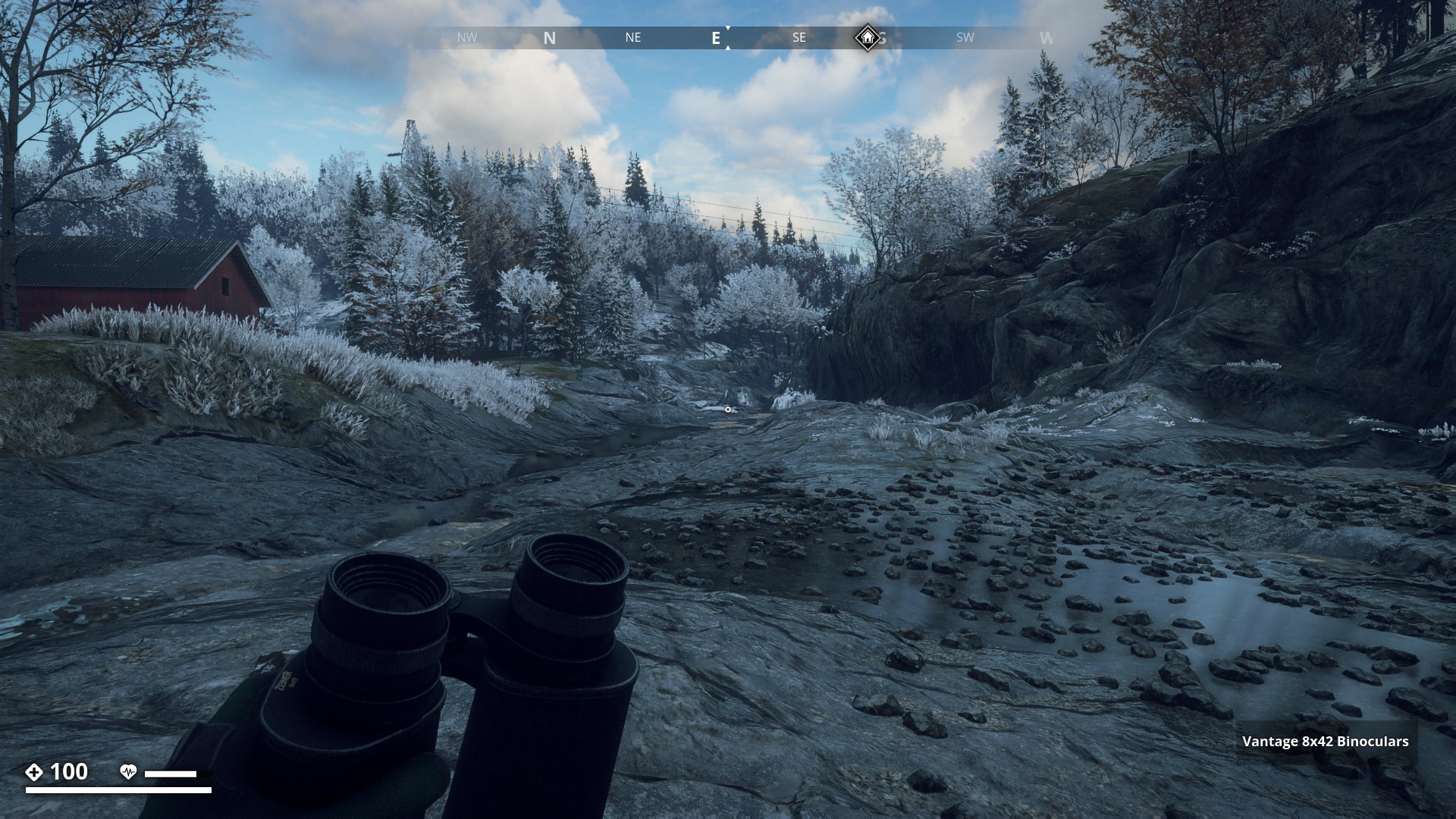
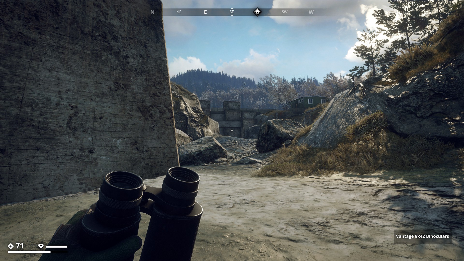
Route 12: Dry Riverbed Route - Click here
![]()
I started the run from the Klinte bay and followed the mostly dried-up riverbed all the way to Muskudden Port Dam. I’ve drawn a blue line on the map to show the route.
▼
I would love it irl to really walk over a dry and stoney riverbed.
▼
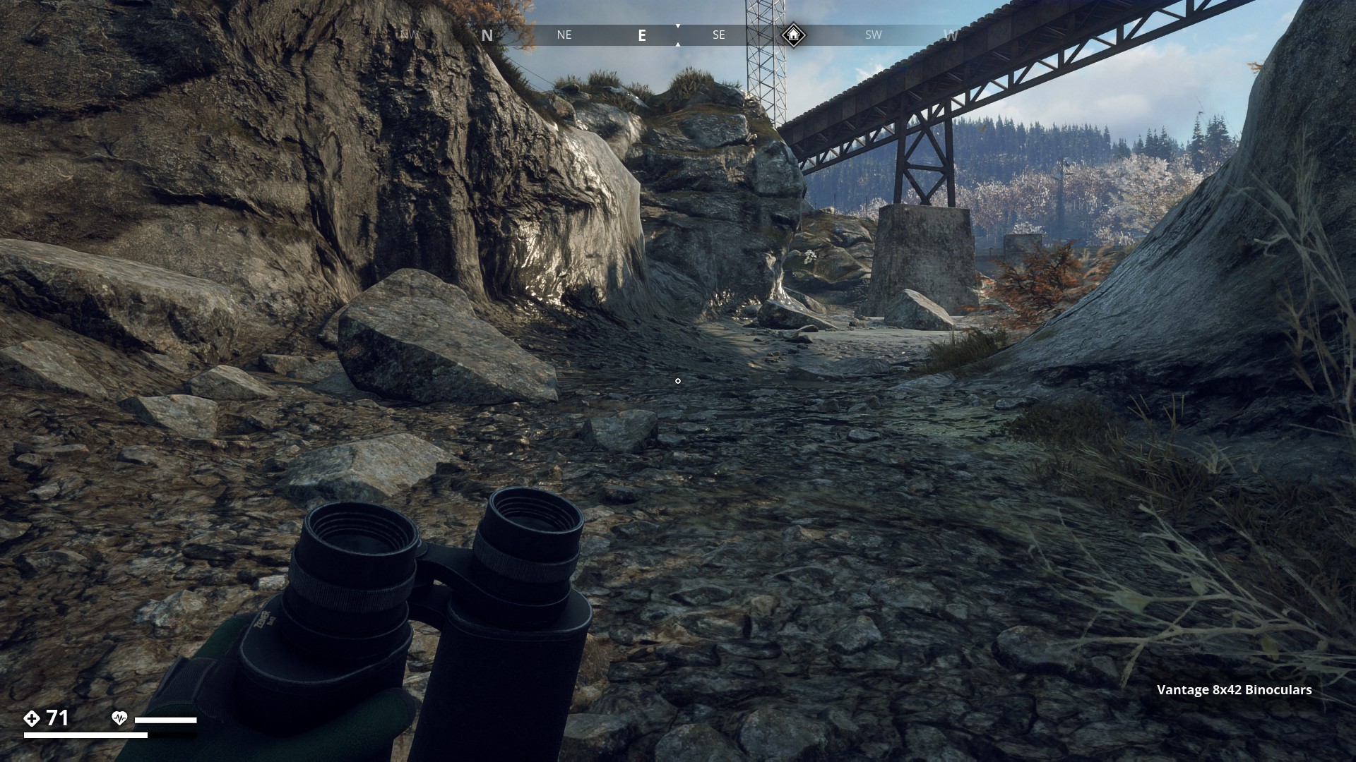
On the edge of Klinte as I am on the bend some 50 yards before the first Bridge, the sun breaks through. Great, that will liven up the photo’s.
▼
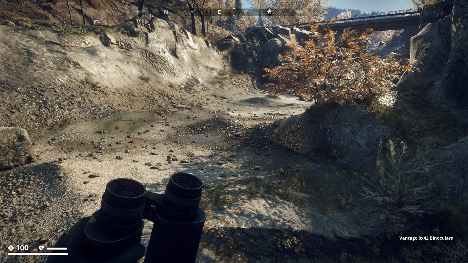
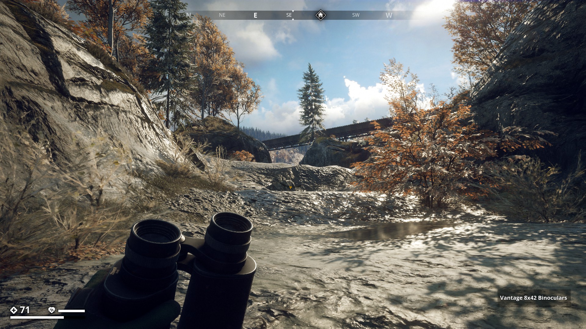
I past the first Bridge. Although there are still patches of water to be found, this part is pretty dry.
▼

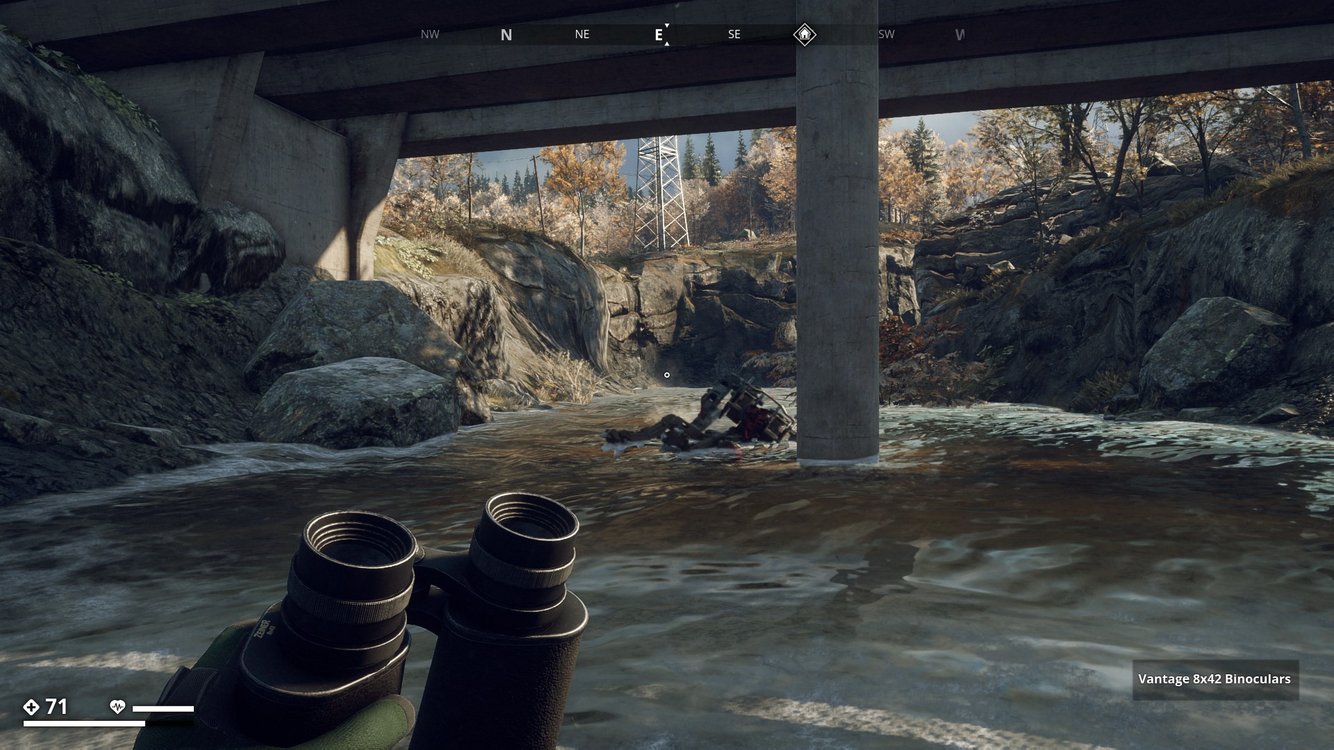
At the second bridge there’s water but it’s not very deep. You see the runner under the bridge? He attacked me in the water. Well he tried…
▼
A lot of water here, but still only knee-deep at the deepest spots.
▼

Here the route goes up quite a bit. Hope it’s not too slippery.
▼
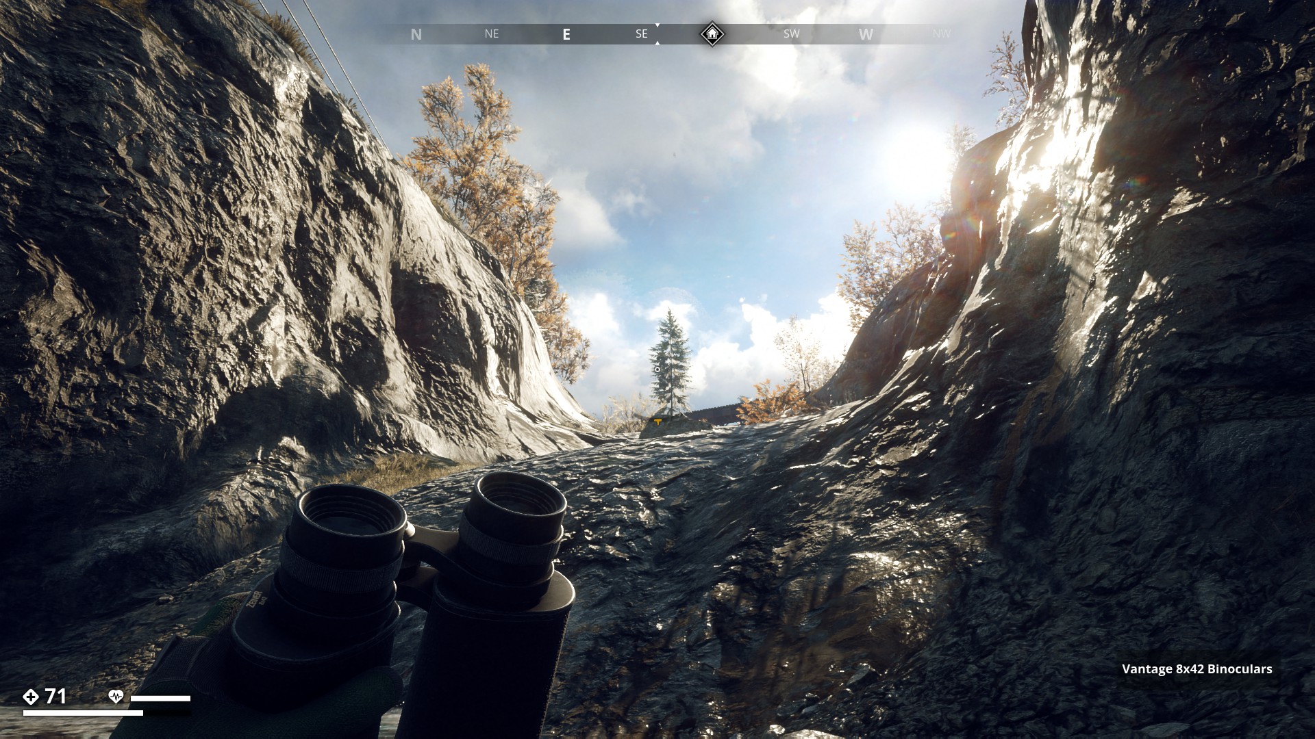
In fact the whole gully rises a lot from sea-level to the basin behind the dam.
▼
In the background you can see the elevated railway that comes from Muskudden Port and goes towards the Factory entrance. (RÖ Redovisningskansli Öst) to the left.
▼

Getting closer to the dam. Again there are runners here somewhere, I can hear them. Let’s not alert them, they will spoil this beautiful run for sure.
▼
Still going up.
▼

From where I am standing, underneath the elevated railway, I can see the Dam up ahead.
▼
Ok, a bit more water here. Best stick to the sides.
▼

There it is, the Dam. I’ll have to climb up there. But with my 7% jump boost on my shoes and 5% on my pants, that should be no trouble at all.
▼
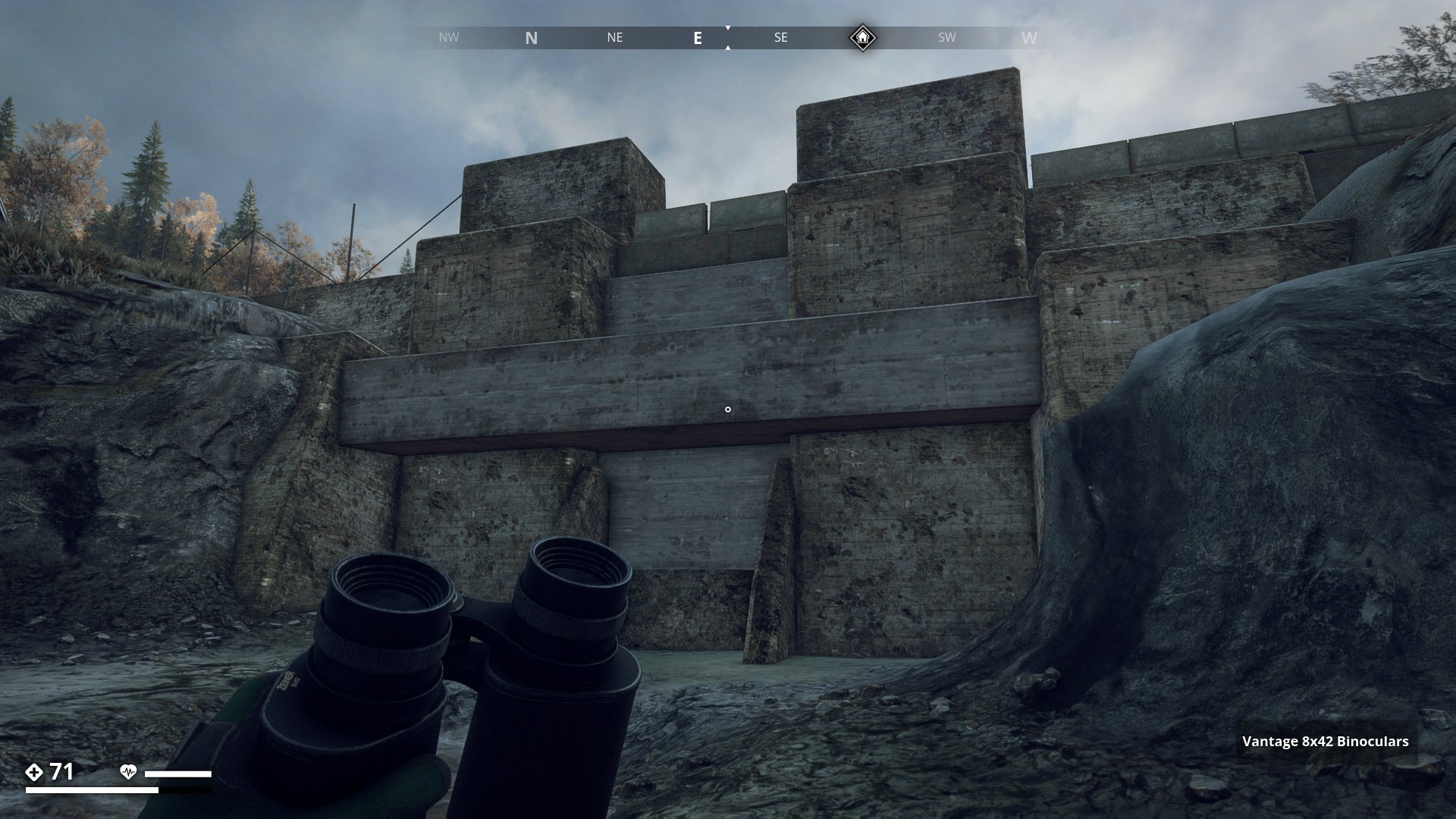
Made it.

▼
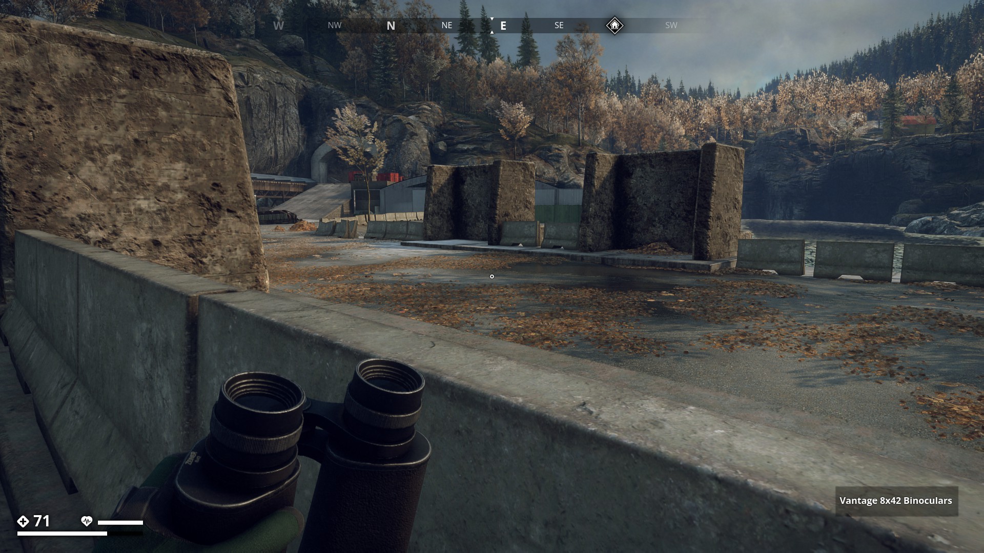
I’m crossing the dam toward the basin, to have a closer look.
▼
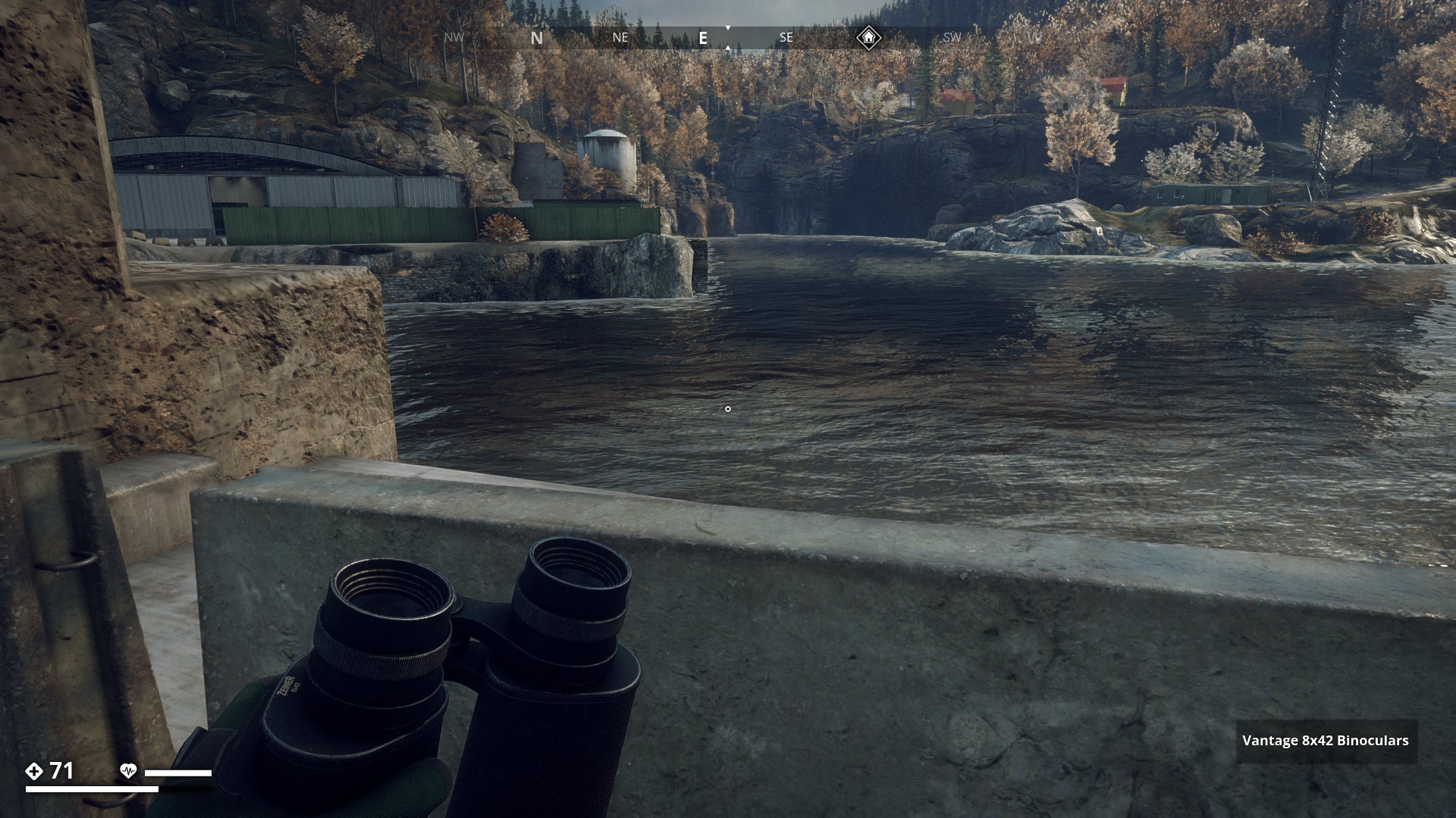
Hmm… I think I can jump down on that ledge. It is under water though. Not sure how much.
▼
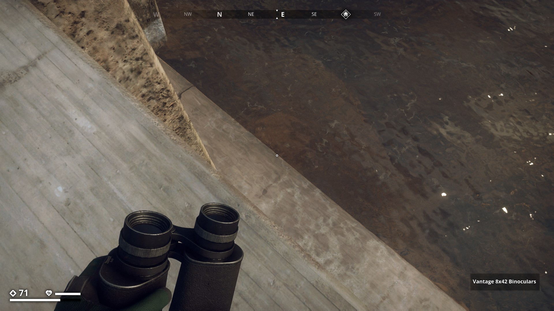
Oops, I can just stand here without going under, but there’s no way back up. Well, there is … fast travel or drowning! Anyways, It was a nice scenic route.
▼

9 Likes