![]() It is puzzling that you associate Vastra Mark homestead to the Cave Structure and not the Annagruvan Mines, which I feel is much more plausible.
It is puzzling that you associate Vastra Mark homestead to the Cave Structure and not the Annagruvan Mines, which I feel is much more plausible.
Hmm… how do I ‘dig’ myself out of this one? Well…….from the names alone, Västra Mark seems to predate Annagruvan. Västra Mark literally means “Western Land” and refers to a stretch of territory rather than a single settlement. Names like that often existed long before towns or industrial sites, marking the land itself as a known region. Annagruvan, by contrast, translates to “Anna’s Mine,” which points to a man made operation and a settlement that grew up around it. Even today, I can’t see any permanent dwellings around the mine (just a few red cabins) but in Västra Mark, there is one inhabited house, as well as ruins that hint at much older habitation. Mining towns usually appear after resources are discovered, so Annagruvan’s name likely came into use far later.
Because of this, it makes sense that the folk of Östertörn would associate the caves with Västra Mark rather than Annagruvan. The caves themselves would have existed long before any mining operations began, probably since the mid-19th century or earlier, and the locals’ memory preserves them as part of the land rather than part of a human enterprise. Annagruvan, tied to a single mine, feels too recent and industrial to hold the same weight in collective memory. The older folk of Östertörn would testify that these caves have always been part of Västra Mark, part of the stories passed down through generations, whispered in tales of hidden passages and dog pictures beneath the western lands.
1 Like
Nice digging on your part. Pretty clever reasoning, but there’s a but… I don’t believe the devs would go that far in naming the locations in their world creation, like taking in account how names historically originated in real life. So using real life reasoning to explain game world toponymy is not practical with a fantasy game, where taking things that far is not needed.
If I think of AnnaGruvan (another mine) I feel that the devs wanted a mining facility, and introduced the mining tunnels, and cavities to show that mining took place. In lore the whole area is never given a name other than the Mines.
1 Like
To be honest, I agree with you! Looking back, I would naturally link the caves with the mines in Annagruvan too. I just happened to travel to the stone bridge from the Västra Mark direction and rushed my answer. Basically, I was just trying to talk myself out of making a schoolboy’s error ![]() .
.
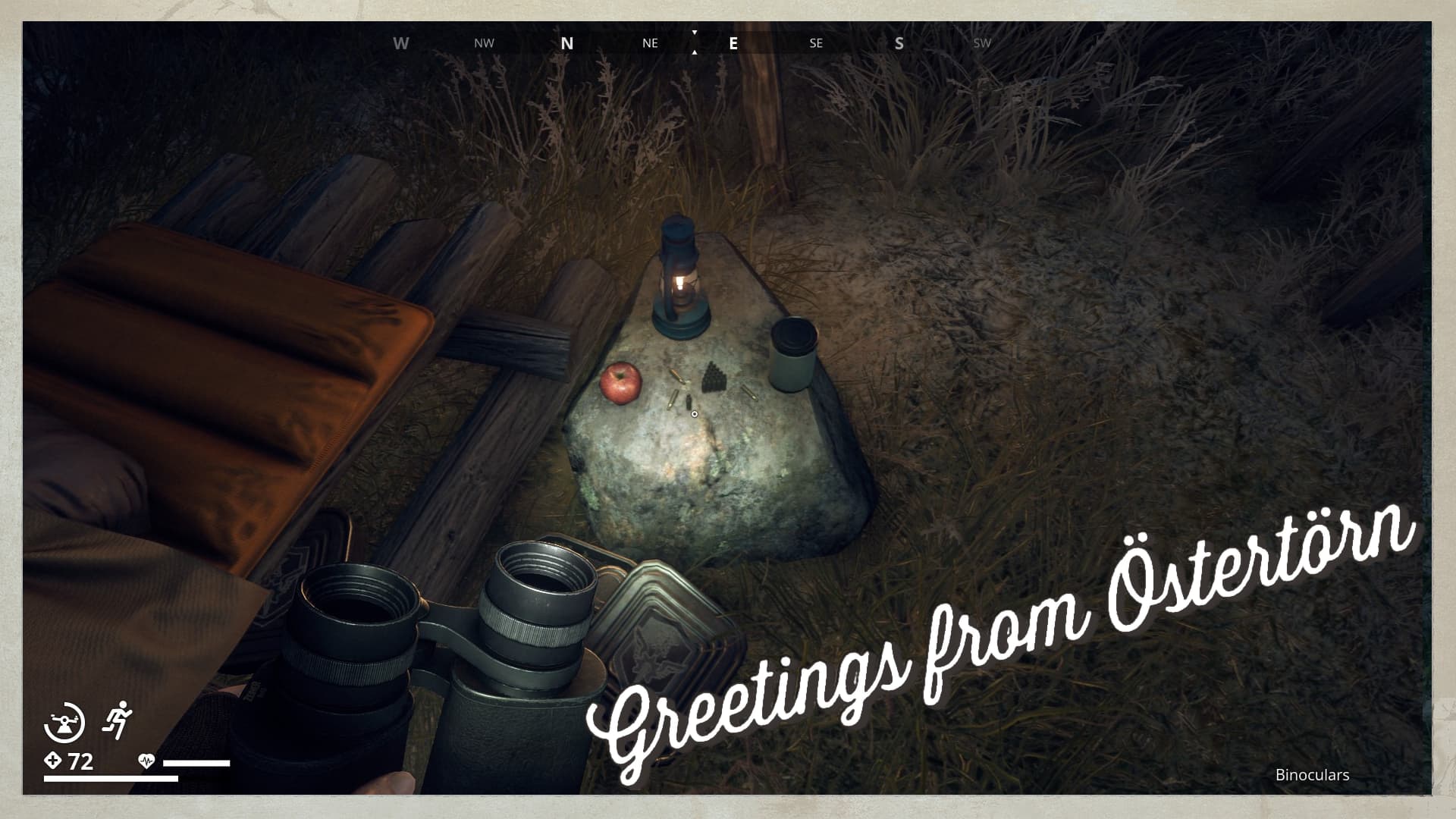
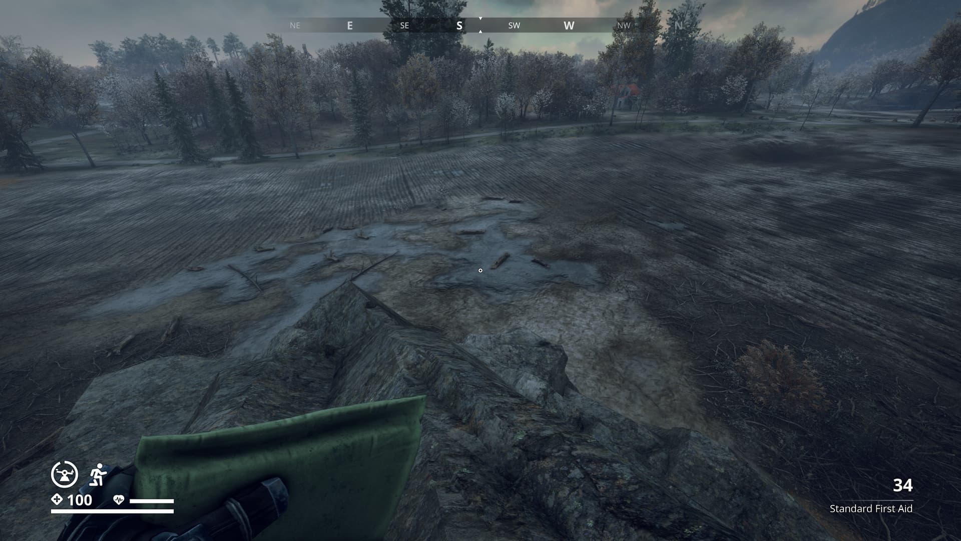
On a side note, you strike me as a pretty resourceful chap, a keen intellect and all that. Perhaps you could help me with a little problem. At -2185.873, -2725.425 (talking tick on your map), I started wondering if the blinking tick might actually be responding to the lamp about 30 meters away, maybe even in Morse code (S.O.S.?). The trouble is, I haven’t the foggiest idea how to decode it, and I thought you might be able to shed some light!!
1 Like
I see you know me. ![]()
Basically, we have another case of your creative thinking. Nothing wrong with that, creative thinking makes you come up with plausible solutions. We had a discussion once thinking a random blinking light might be some morse code, but had to come to the conclusion that is was only wishful thinking.
This blinking light was a light on a broken pier a little east of Kalkbrotet (NC).
I only give aprox. coords (1726, -4183), because I did not travel there, but just pointed my cursor at the map to the spot where I thought it was.
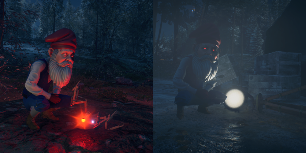
The Tick in your question is the Tick that spoke to Tatiana, and exploded when it said it’s piece. I think this might have the same outcome as the light on the pier and is just a random pulsing of the light to attract players to the spot.
But to decode it, you need to first record long and short light pulses, as many as you can in a row, a space between words could be a longer period of light off.
Short pulses are written as dots and long pulses as dashes, long light off as slash.
Once you have something on paper you can find an online morse converter on the net.
![]()
1 Like
You’re right, it does sound like another one of those “could it be or isn’t it?” moments I’ve always been guilty of before! Seeing signs where there are none. The broken pier light at Kalkbrotet is exactly the same kind of thing, something that looks like it should be important, but probably just another piece of environmental flavor meant to lure players in. I play with a couple of fellas who are in the military, so they might be able to help me out with the lights if indeed it is anything!
And I did check the Morse you put at the end, decoded, it comes out as GOOD LUCK!! Nicely played sir! ![]()
1 Like
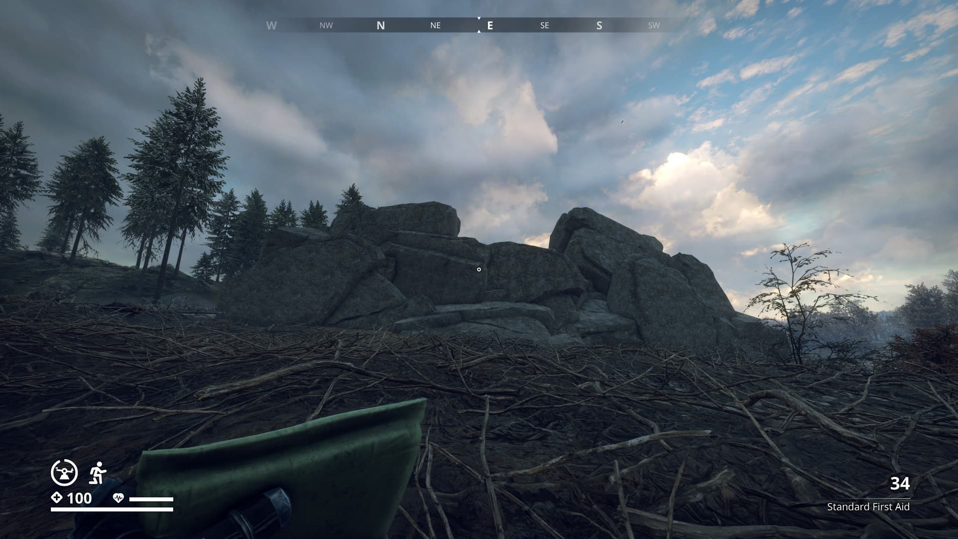
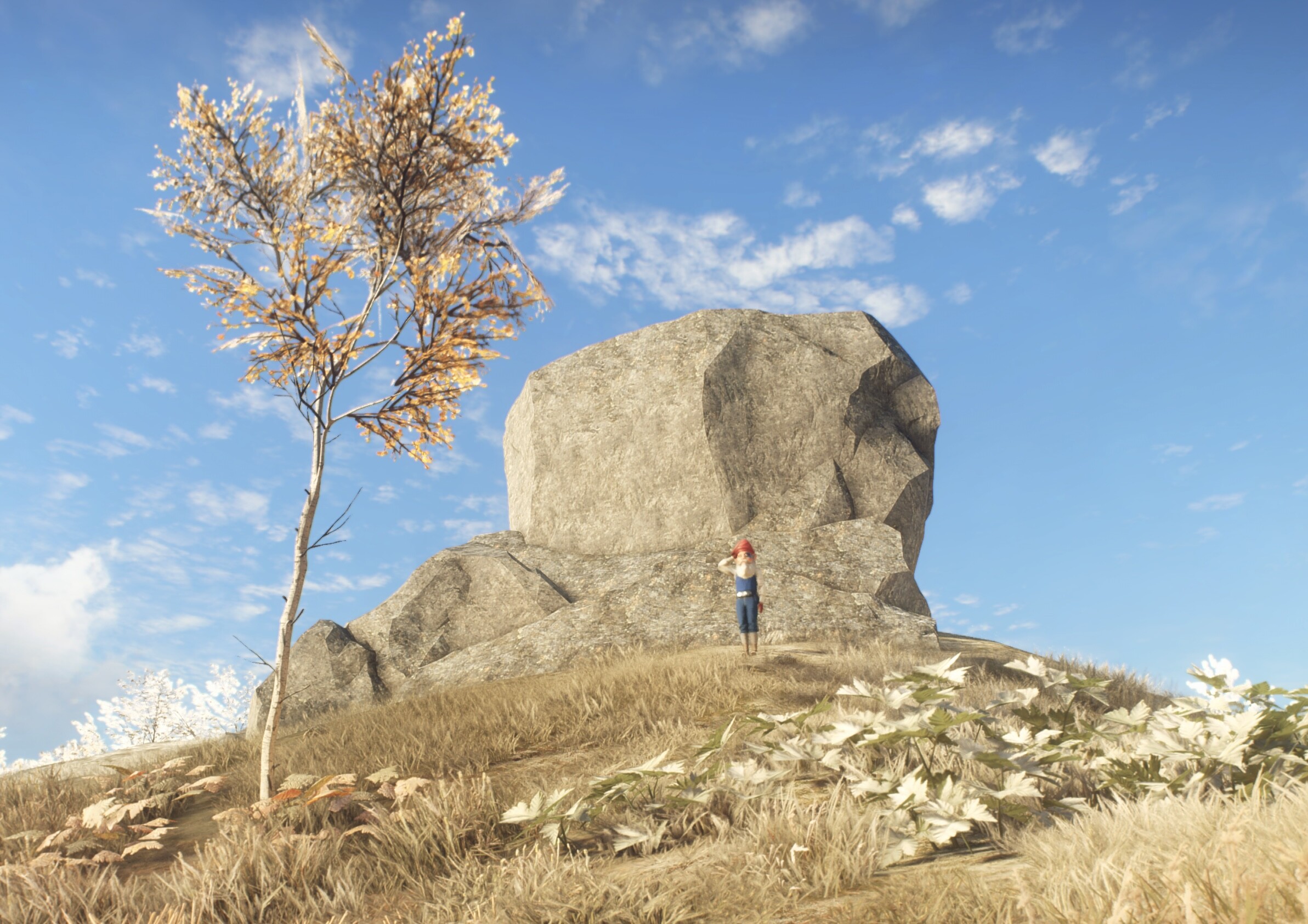
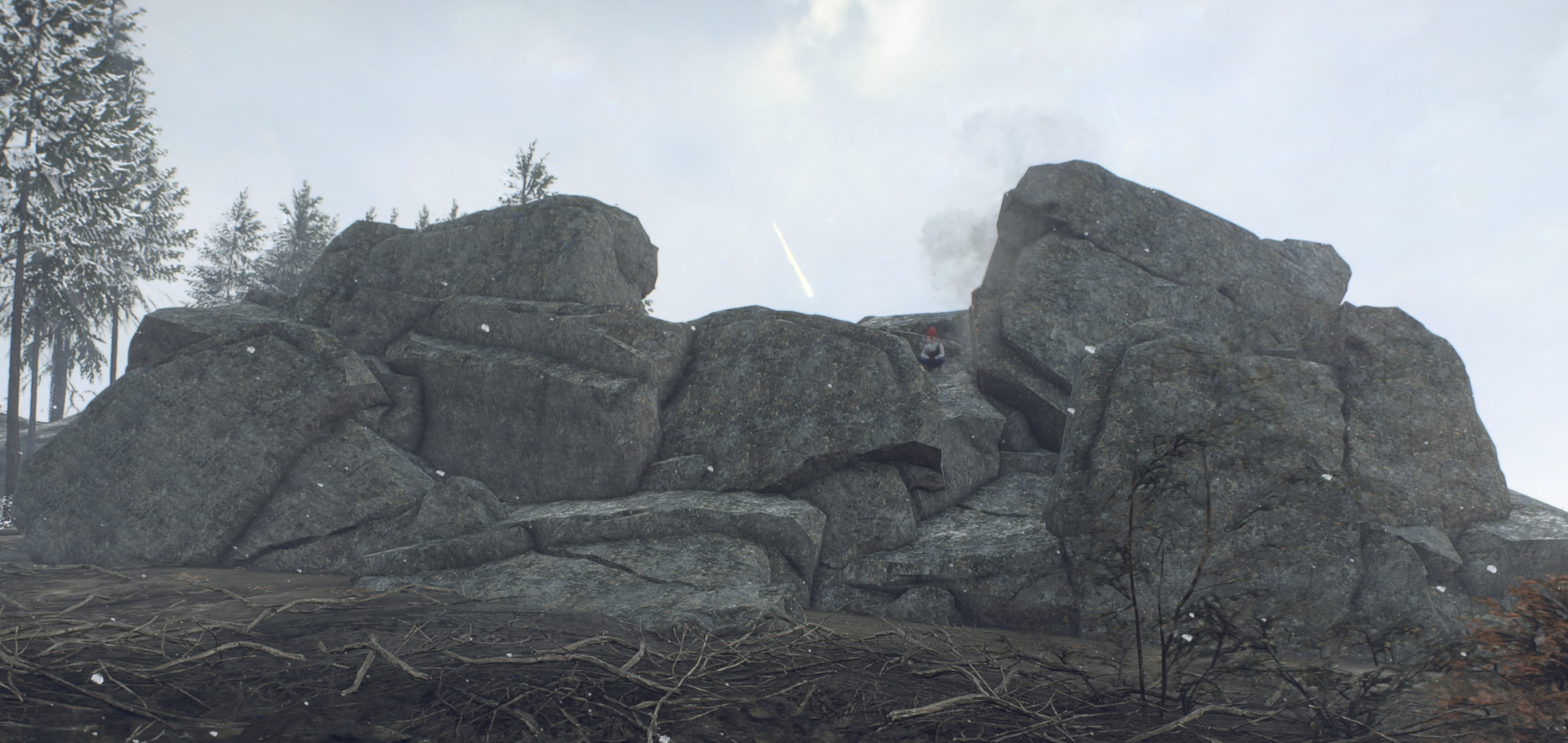
I thought I had found it, but none of these glacial erratics, if that’s even what they are, match the spot in your screenshot. I guess I’ll just keep searching.
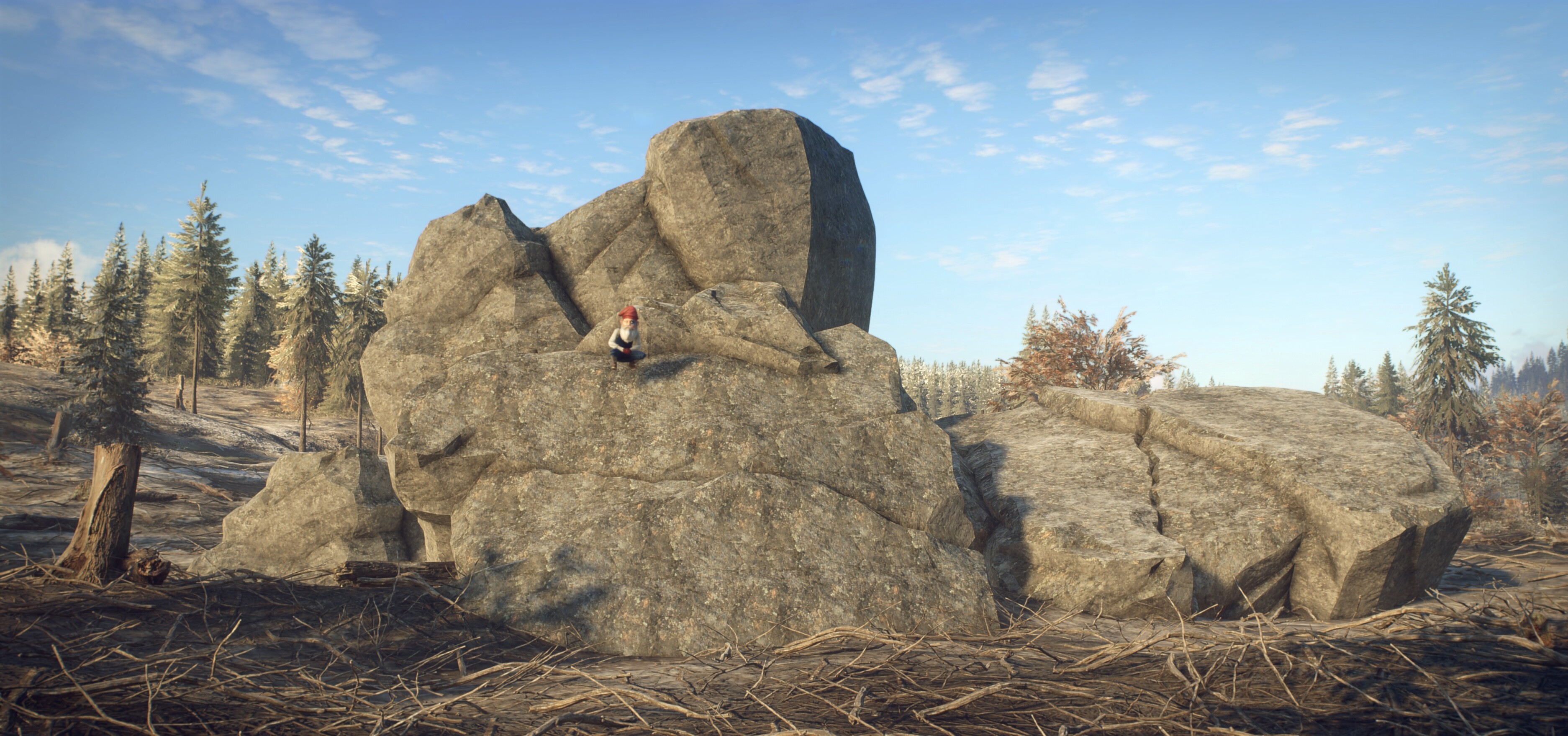
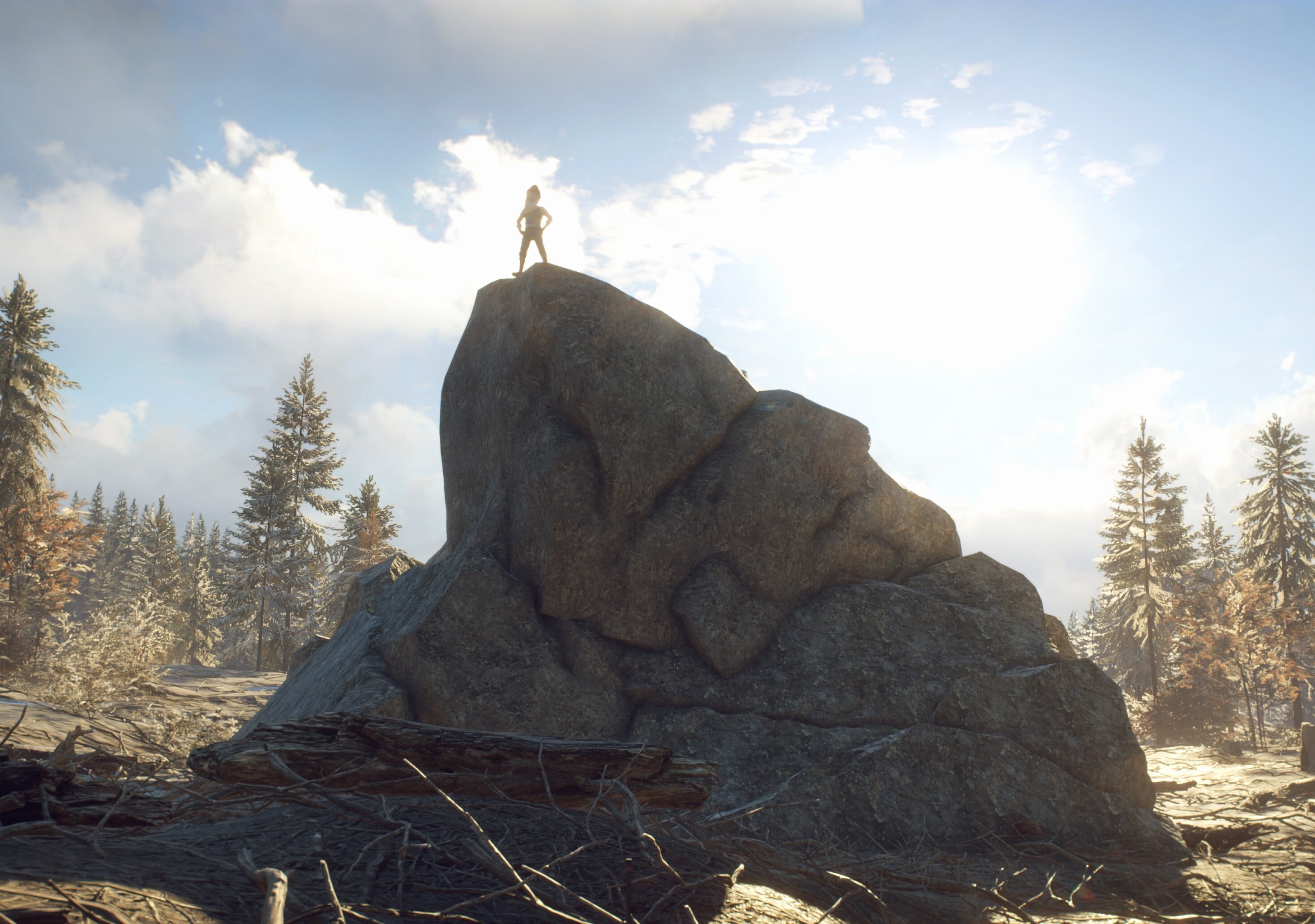
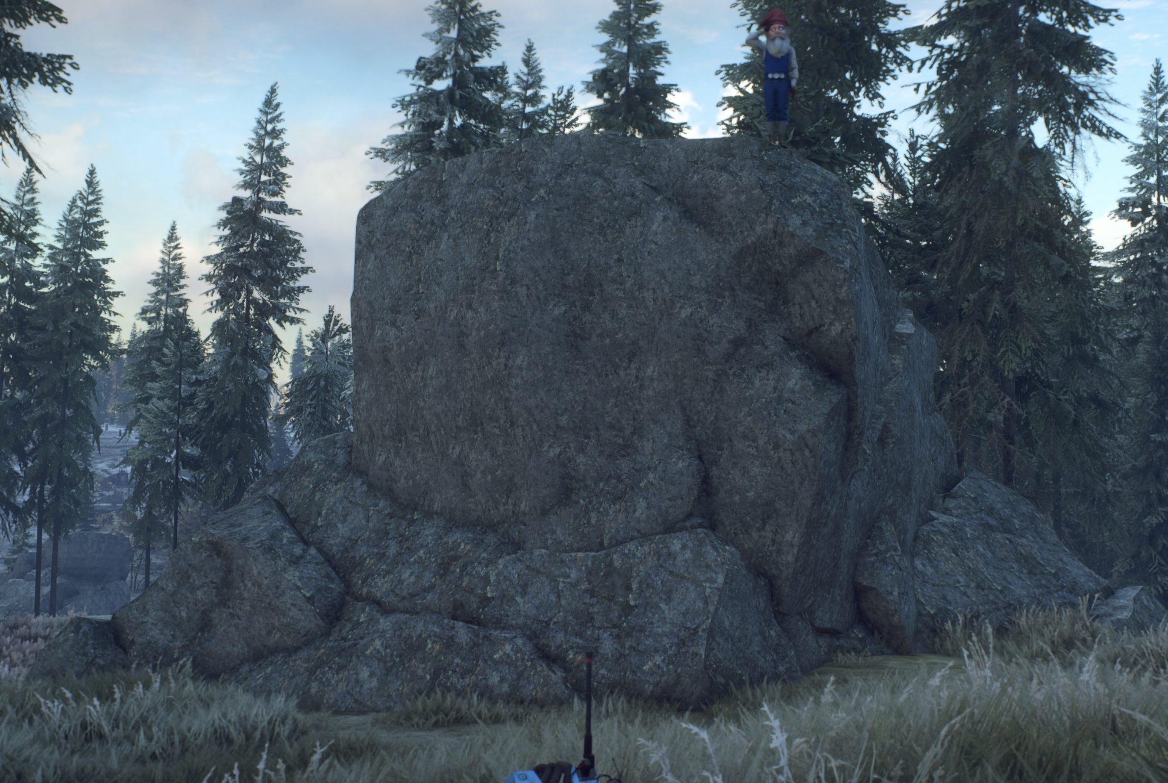
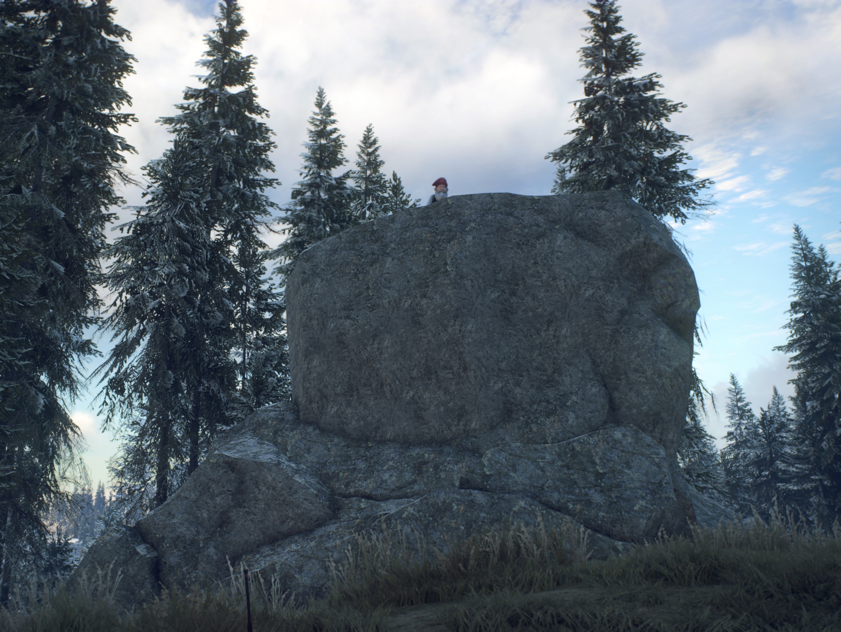
That’s what they are. But the big and smaller rounded boulders can also be glacial deposits left there by the retreating ice. Of course the rocks near the foot of a mountain is most likely mountain debris.
The one you need to find is very close to water that is not a lake.
1 Like
Oh my word, I’m really not sure about this clue. I’ve searched along both banks of the Överbyån river and even checked the IGA cooling pools, but I still can’t track down this glacial erratic. I just hope your clue isn’t suggesting the water is actually the SEA!!!
1 Like

This is indeed the one I called the biggest. Maybe I got confused to which Erratic @TimData was referring, but the water clue was meant for the previous erratic picture I posted here
2 Likes
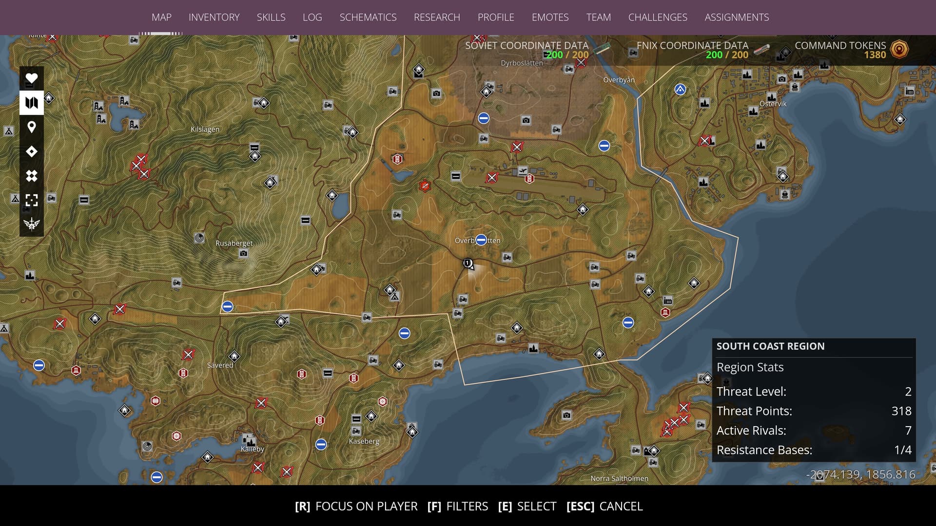
Ok, I found it, though I have to admit I cheated and used your recently updated map. It looks fantastic, by the way. I really like where you’ve placed the legend, and the Firebirds’ flight path is a very interesting addition. Also found the other one, again cheating and just following Kimosabe!
I really enjoy these spot the location puzzles, even though I don’t think I’m all that good at solving them. It’s still a lot of fun trying to figure them out, and I always end up laughing at myself when I miss something obvious!
2 Likes
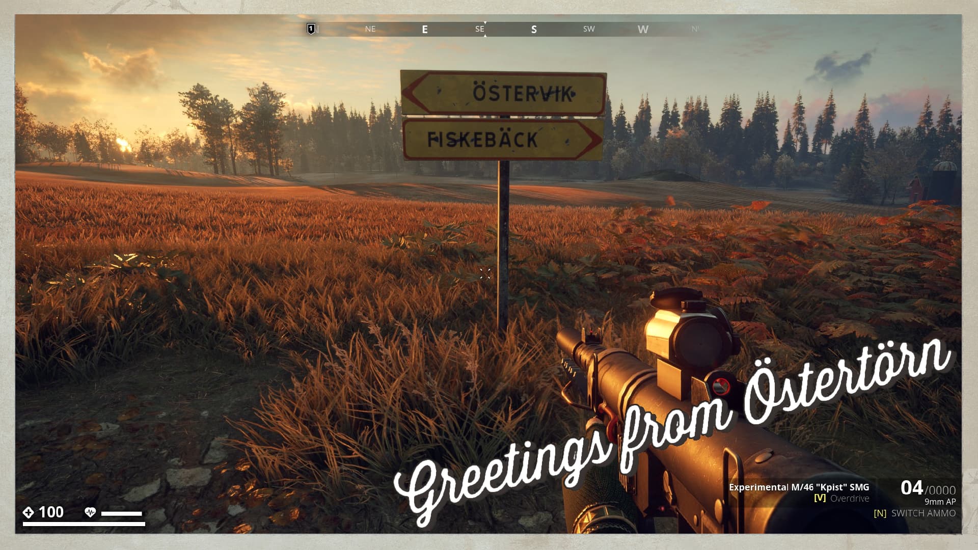
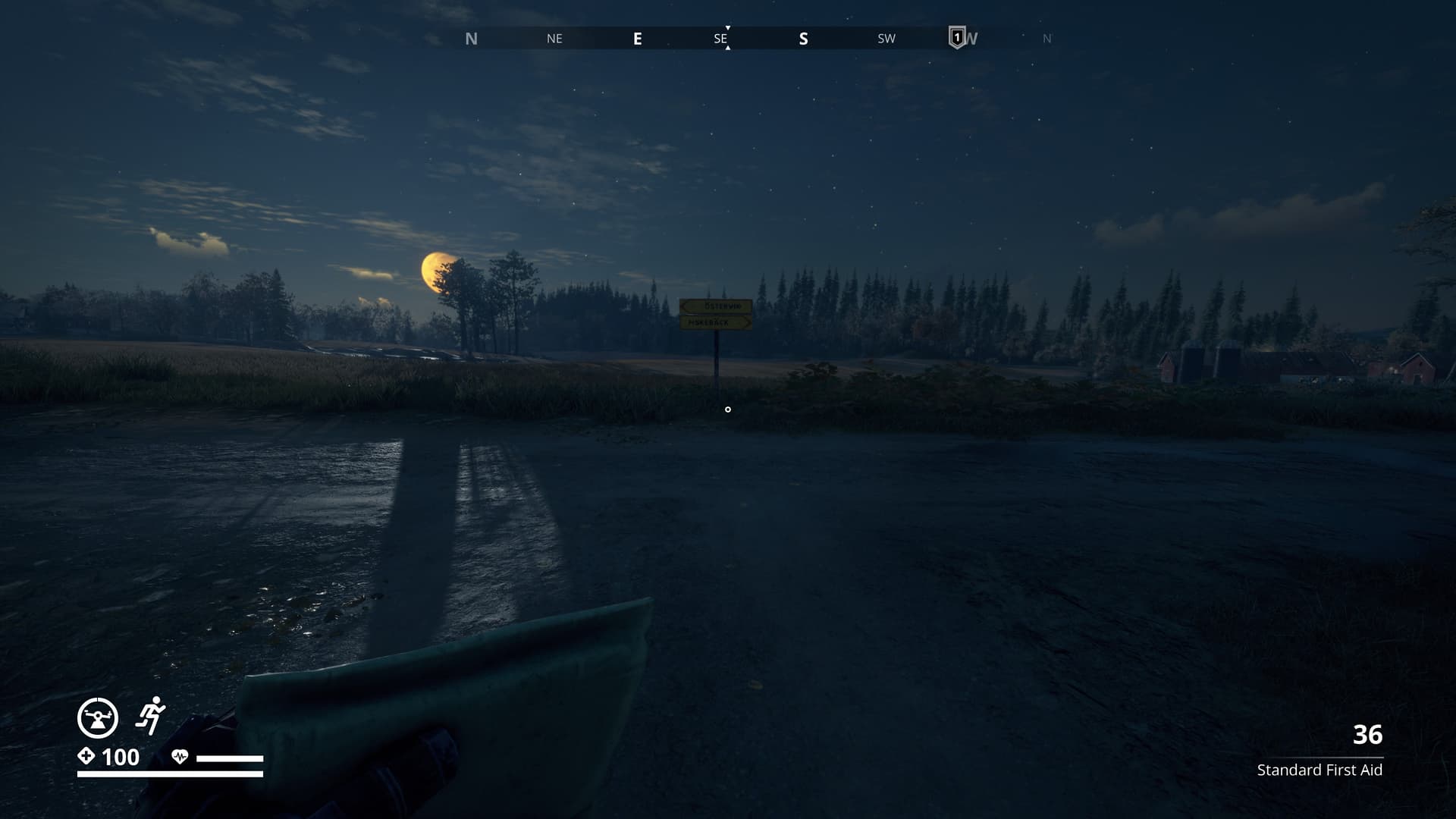
I found an old sunrise photo, that I imagine might be a harder find. Obviously it’s on a road, and it’s a yellow sign, but the distances on it, must have weathered away. I am now myself looking for it. ![]()
Edit : I found it.
1 Like
Yes, you did and well done Tim, but don’t forget to add coords, or a map picture. Not everybody reading this topic is into exploring, but still would like to visit some of the spots that are presented here.
And now it coffee time. ![]()
1 Like
Purely from deduction of your map it is most likely the T-crossing west of Lilla Svanhult, on the road between Lilla Svanhult and Överby Gard. (e.g. looking southeast, fairly flat terrain, the treeline in the background and the silo on the right edge of the pic which belongs to Överby Gard…)
Not in the game right now, so no pics at the moment… ![]()
Edit: Now ingame, pics added…
1 Like
You’re not in the game? But still spot on. Nice deduction. ![]()
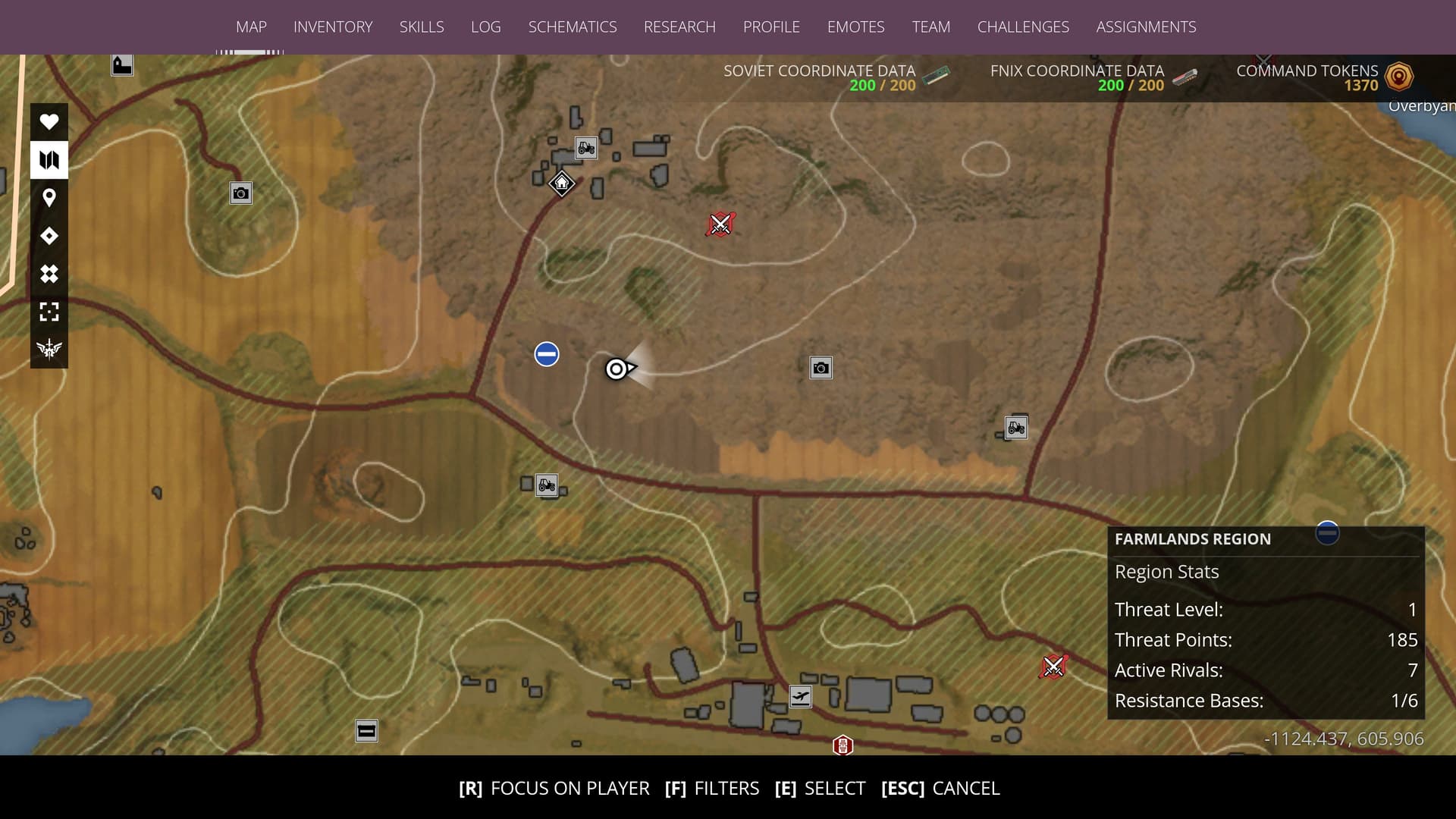
Have you seen this one with the bullets yet?
No, sadly i didn’t find it. I’ve been searching possible spots up to the point where I was believing that the Soviet camp icon might be another issue of a leftover tracking… ![]()
![]()
![]()
Maybe I’ll have a look at it again later… ![]()
Yes, I need to continue finding the bullets too!
Just invested half an hour Yesterday, didn’t find it yet.
1 Like