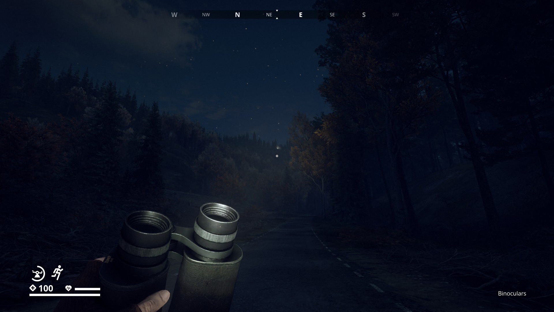
A site for sore eyes. Long slender shadows creeping over this polished plateau.
2 Likes
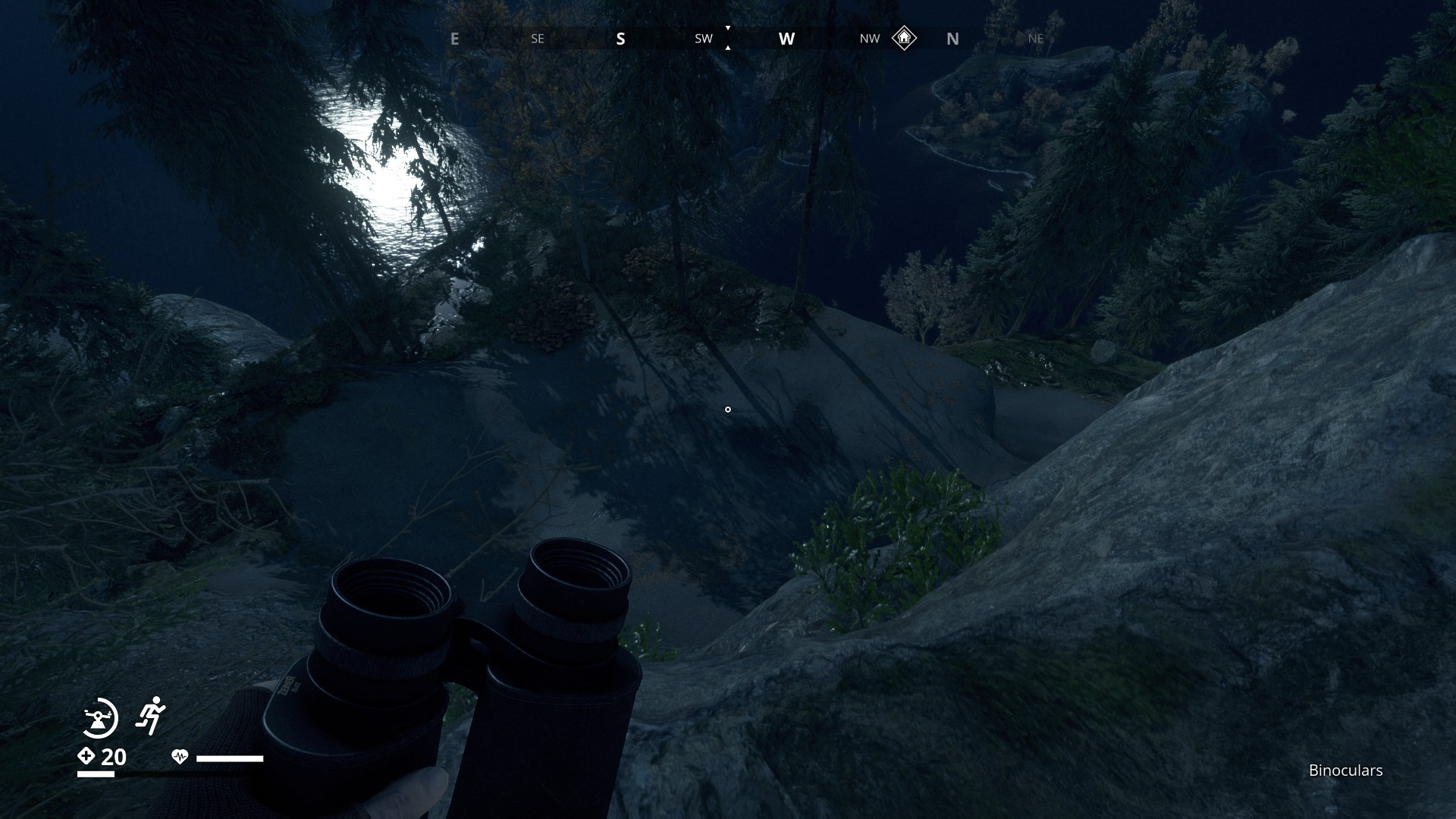
My first guess was the Tylöveden Control Point, facing west with Leräng Industrial Facility on my left but it turns out that’s not the spot. I even waited for sun set
1 Like
Any chance of a small clue? ![]()
Shouldn’t be so hard to find.
There are just a few industrial sites (look at the compass) in Östertörn.
Archipelago region: 1
Farmlands: 3
Forest region: 2, maybe 3
Southcoast region: none
Mountain region: just 2 on Aspholmen
Northcoast region: 1
Marshlands region: 1
Now search a place where this site is east/south east of the location and look west.
I would go for Aspholmen first.
The location shouldn’t be hard to get, the exact place could be harder.
1 Like
Hint: I would too. ![]()
1 Like
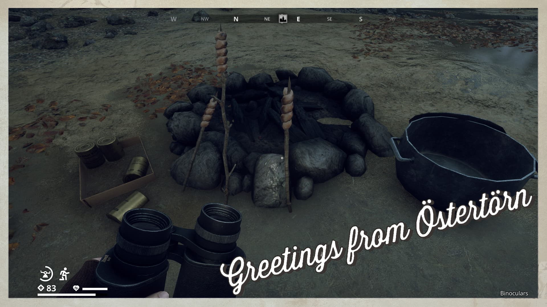
While I was looking for other possible interactive campfires, I came across this site where maybe Borje’s famous Bread on a Stick recipe was used. Or was it Borje himself cooking here, since he left without any trace?
3 Likes
Just a little trick:
Take a broomstick for that… Or something similar in that thickness. Now you’re able to put a bratwurst inside when the bread is finished.
4 Likes
It’s funny how delicious “snobrød” (curled bread on a stick) with a bratwurst tastes fresh from a bonfire out in nature … So simple, so good ![]()
3 Likes
The picture was misleading, because I just saw that there is a industrial icon (Truck repair on SC), on the compass that I was tracking earlier.
2 Likes
Herre Gud !! And I thought that maybe my world/map is somewhat broken because I don’t have any industrial icons on Aspholmen… ![]()
I don’t know how often I crawled on mountainsides to find that spot with the icon… ![]()
![]()
![]() Obviously I never found that spot…
Obviously I never found that spot… ![]()
![]()
![]()
1 Like
I am so sorry for the misfiring of my thinking neurons. I hope your knees weren’t scraped to the bone from all that crawling. Maybe knee pads is a good idea next climbing adventure. ![]()
1 Like
Nah, all good my knees are alright… ![]()
![]()
I must have been to this location three times and still didn’t find that area. Another fail on my part ![]()
2 Likes
You were right, right, right, and right. ![]()
2 Likes
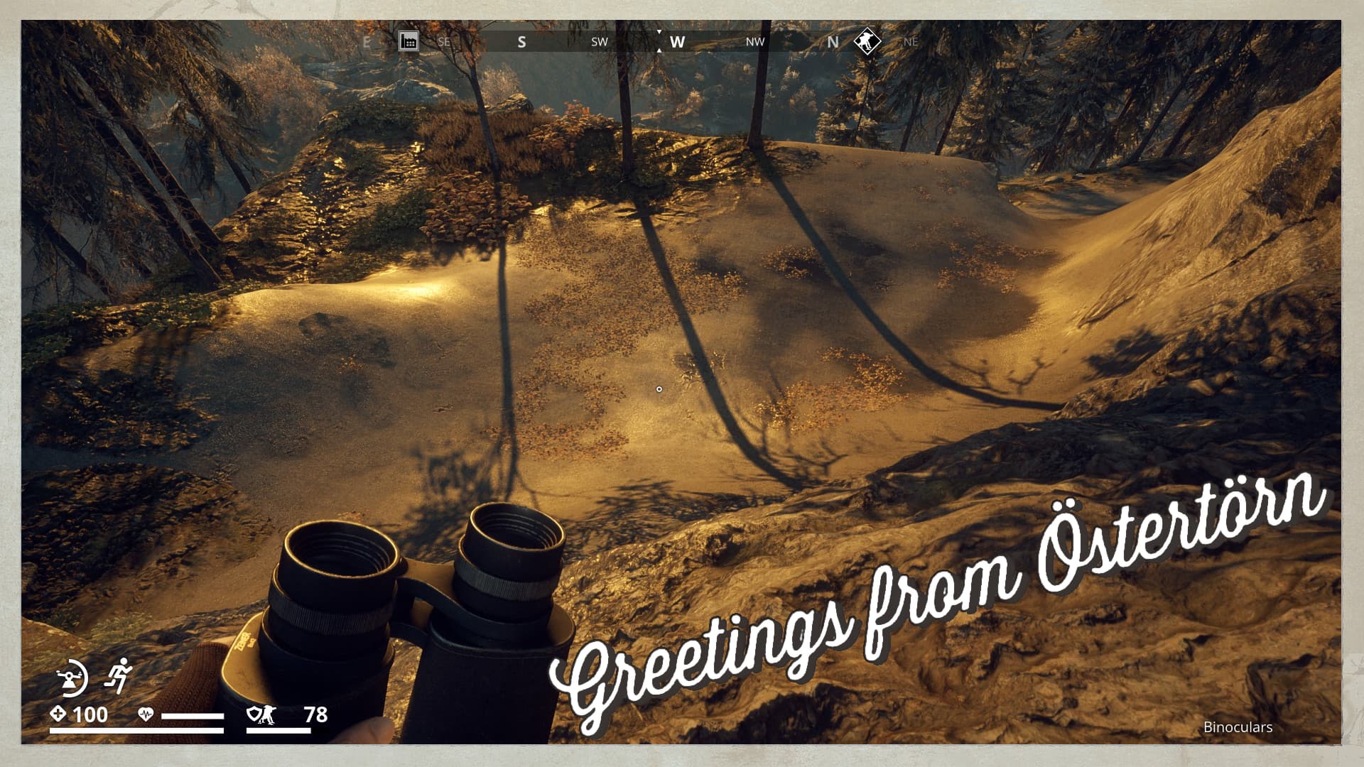
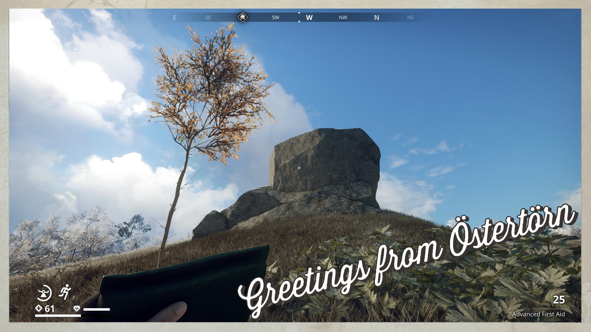
It seems that Östertörn has some Erratic Glacial rock deposits, I’m sure you have seen them. These are not the big roundish boulders, but the ones with sharp edges. This particular one caught my eye, outlined against the blue sky.
2 Likes
Hmmm…A very striking composition @Gysbert with the lone tree and solitary rock set against the bright blue sky. At first, I thought it was a World War II pillbox that you see around the map, but it’s just a squareish rock. For me the lone tree and rock represent isolation and survival. The tree symbolizes life and resilience, while the rock reflects the persistent, unyielding threat of FNIX. Framing them on a hill draws attention to this like a stage and having the blue of the sky behind almost makes it seem like a moment of calm and gives me a minute to reflect on the this conflict. Other than a bit of navel gazing, there’s not much else to go on except that you’re facing west. There’s a safe house to your left, and the trees are lightly dusted with snow. I’m guessing I’ll start in the mountain region along the border of the Marshlands and work down. The hill doesn’t seem too high, so I’ll use your map to find widely spaced contour lines for lower elevated hillocks.
2 Likes
Are you tracking this Safehouse in the photo?
2 Likes
No, this one is legit.
Hint: Best stay in a region where you seen other Glacial Erratics.
2 Likes
Okay, best hint ever! Keep an eye out for those massive boulders that seem completely out of place. “Glacial erratics” just became my new favourite term, I’m definitely dropping it into my next conversation! Onwards and upwards then!
1 Like