@Gysbert Hello Gysbert another nice hiking route. Some invite you to wander around the map a little
Good work, keep it up please 
@Gysbert Hello Gysbert another nice hiking route. Some invite you to wander around the map a little
Good work, keep it up please

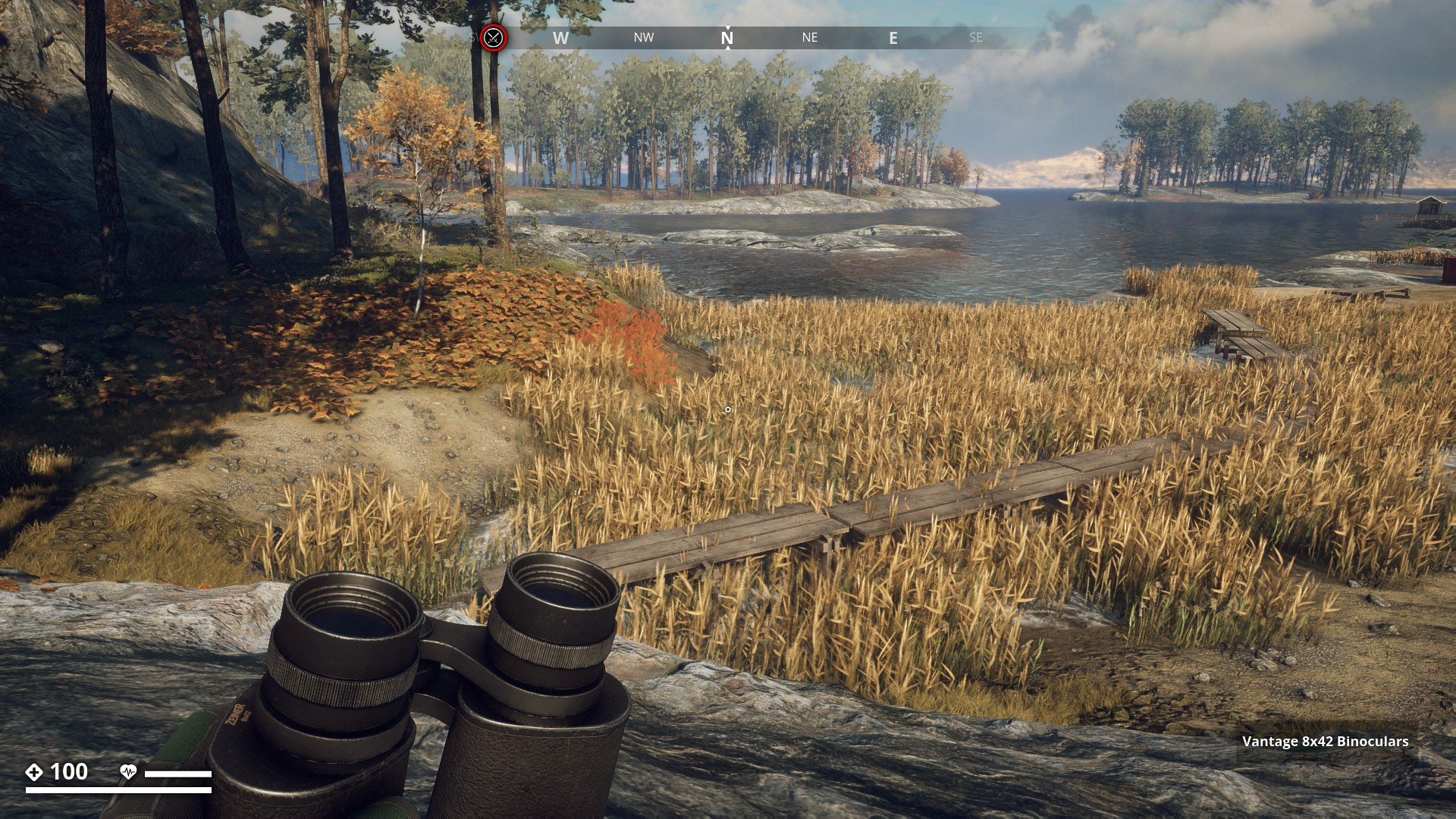
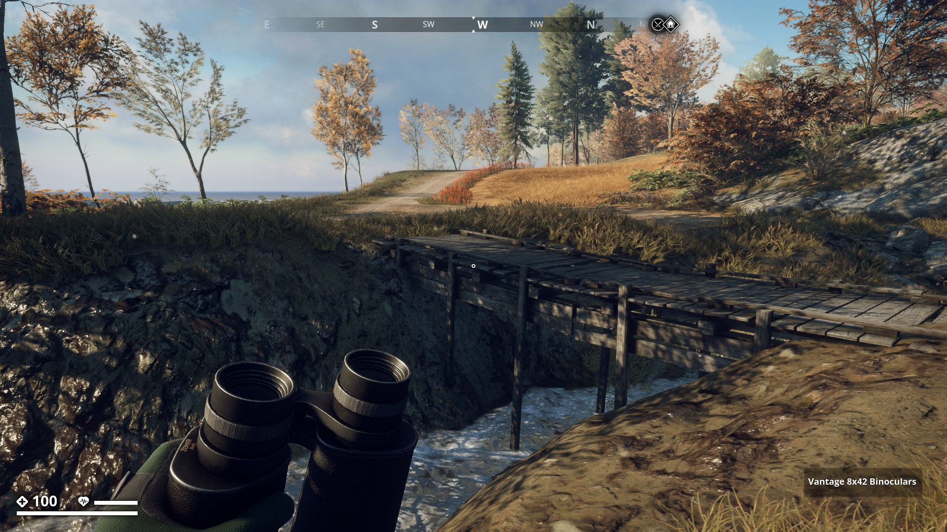
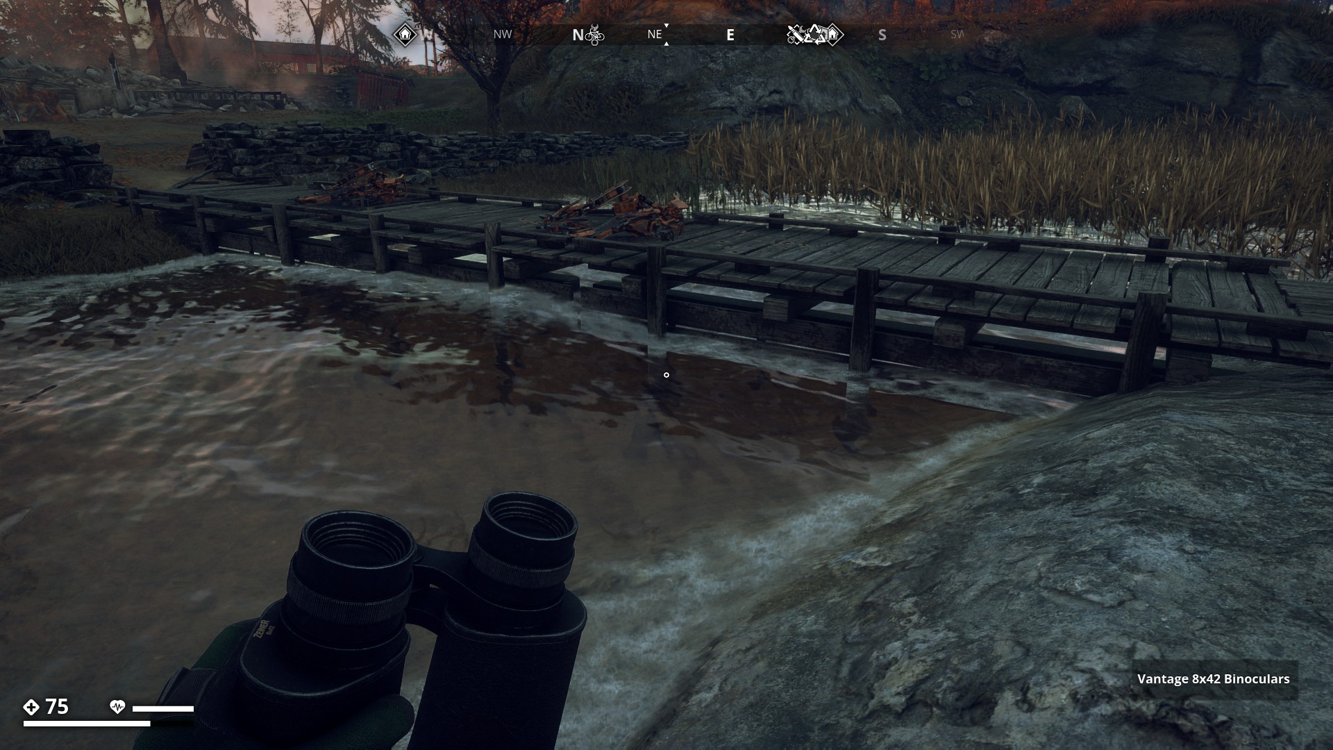
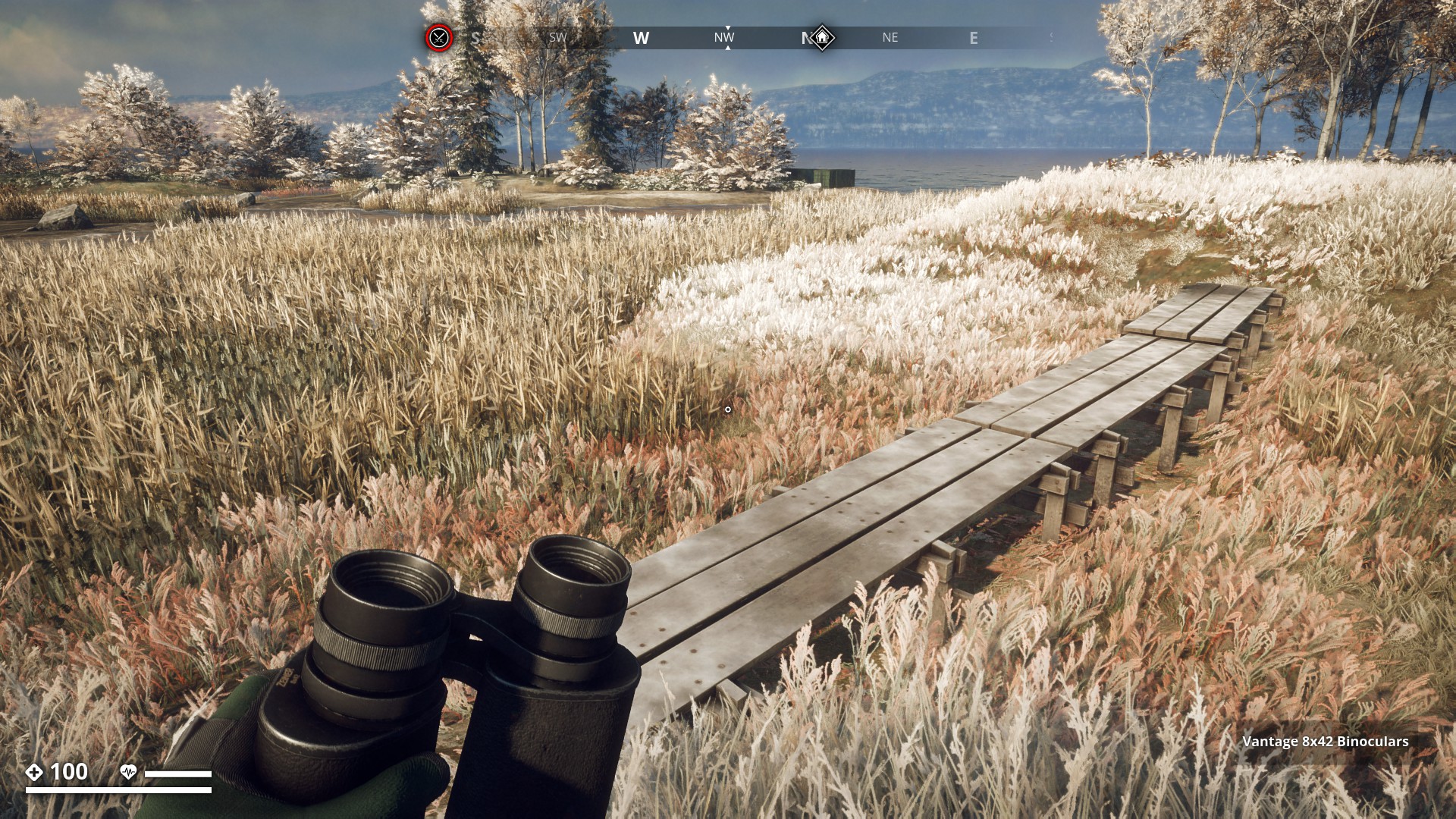
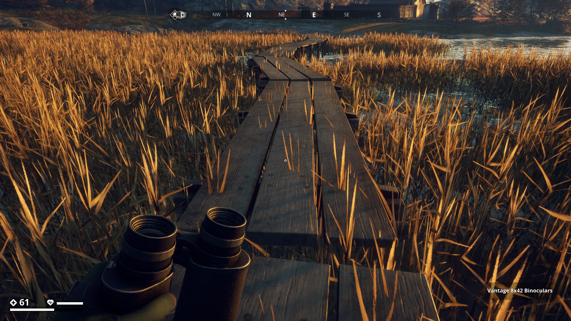
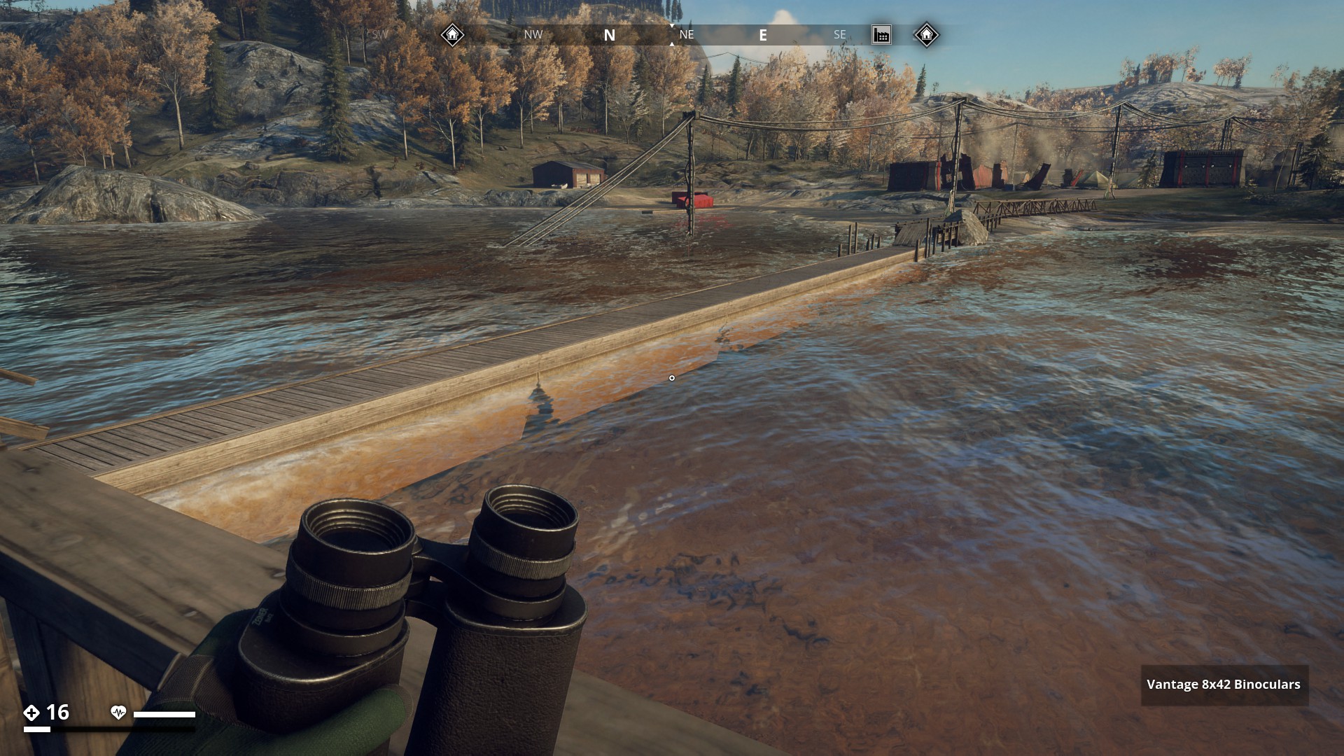
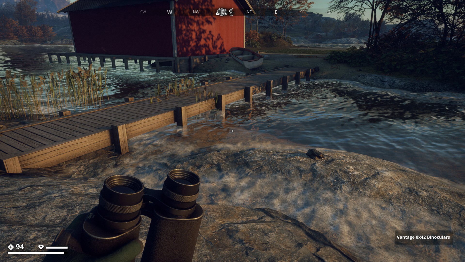
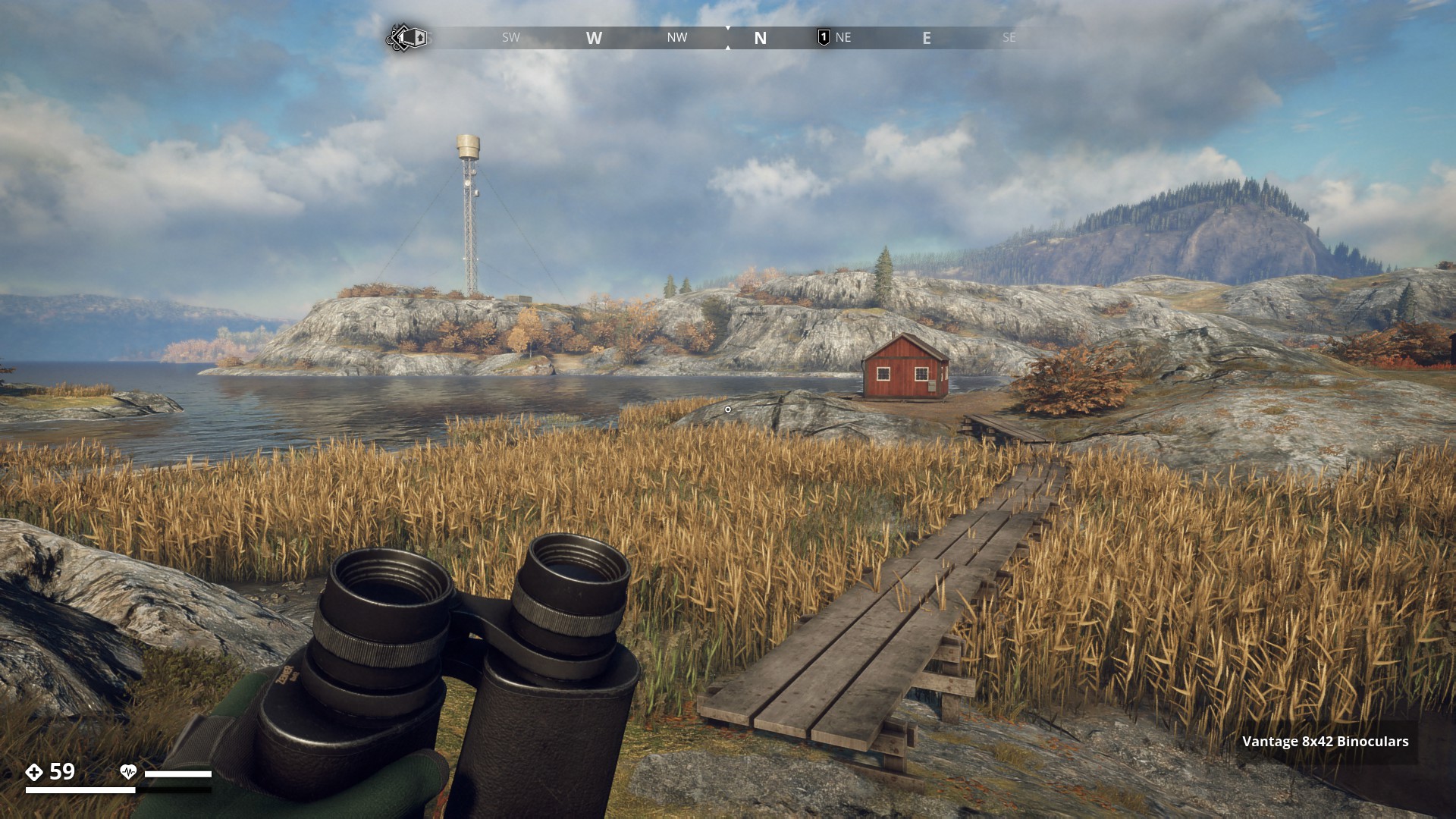
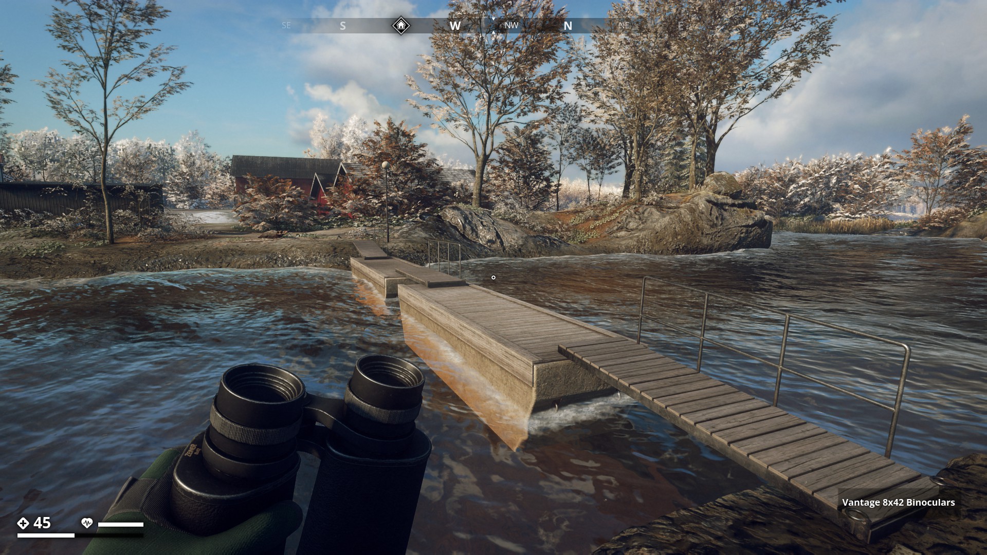
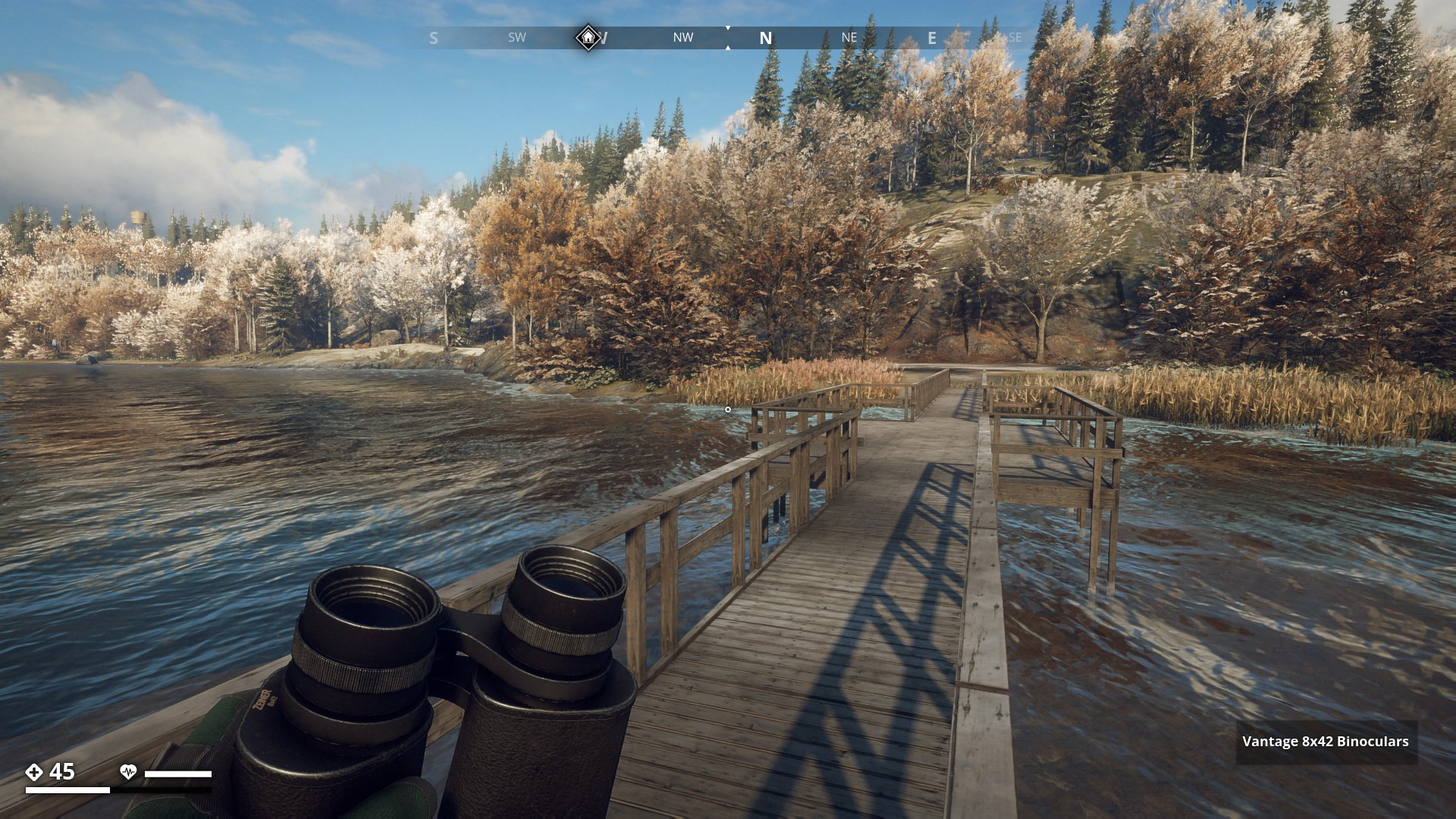
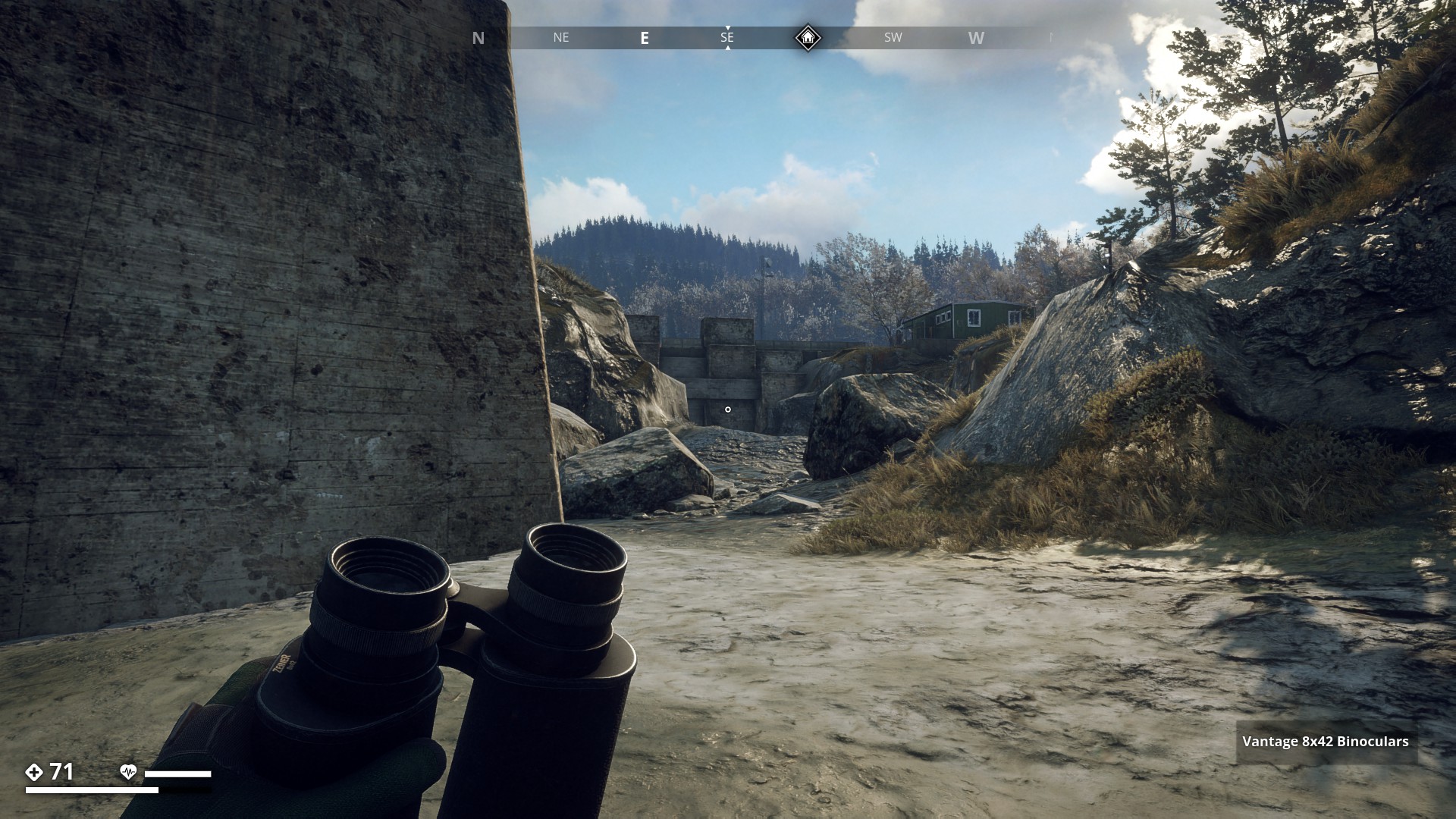
Bridges and Walkways
![]()
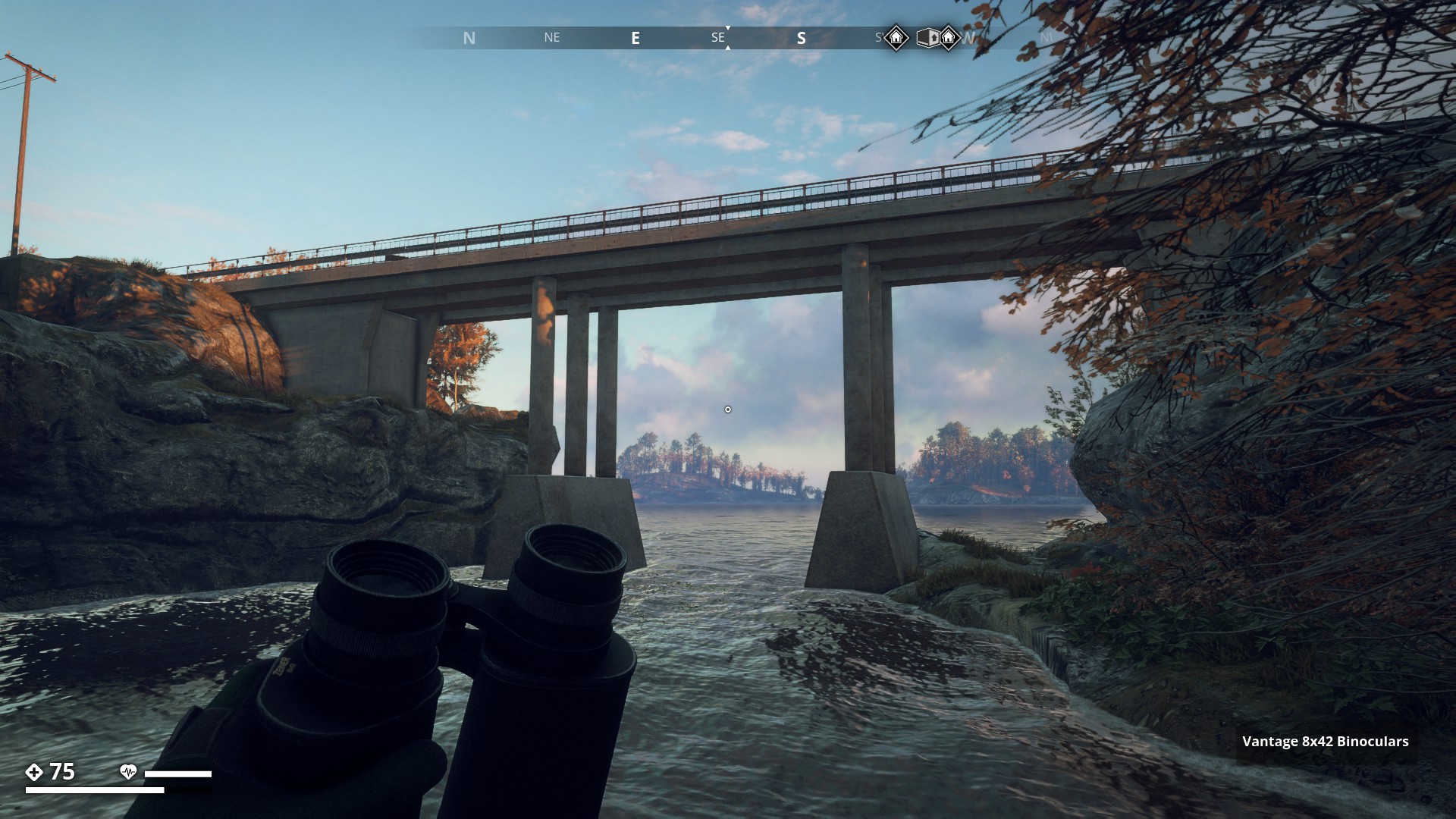
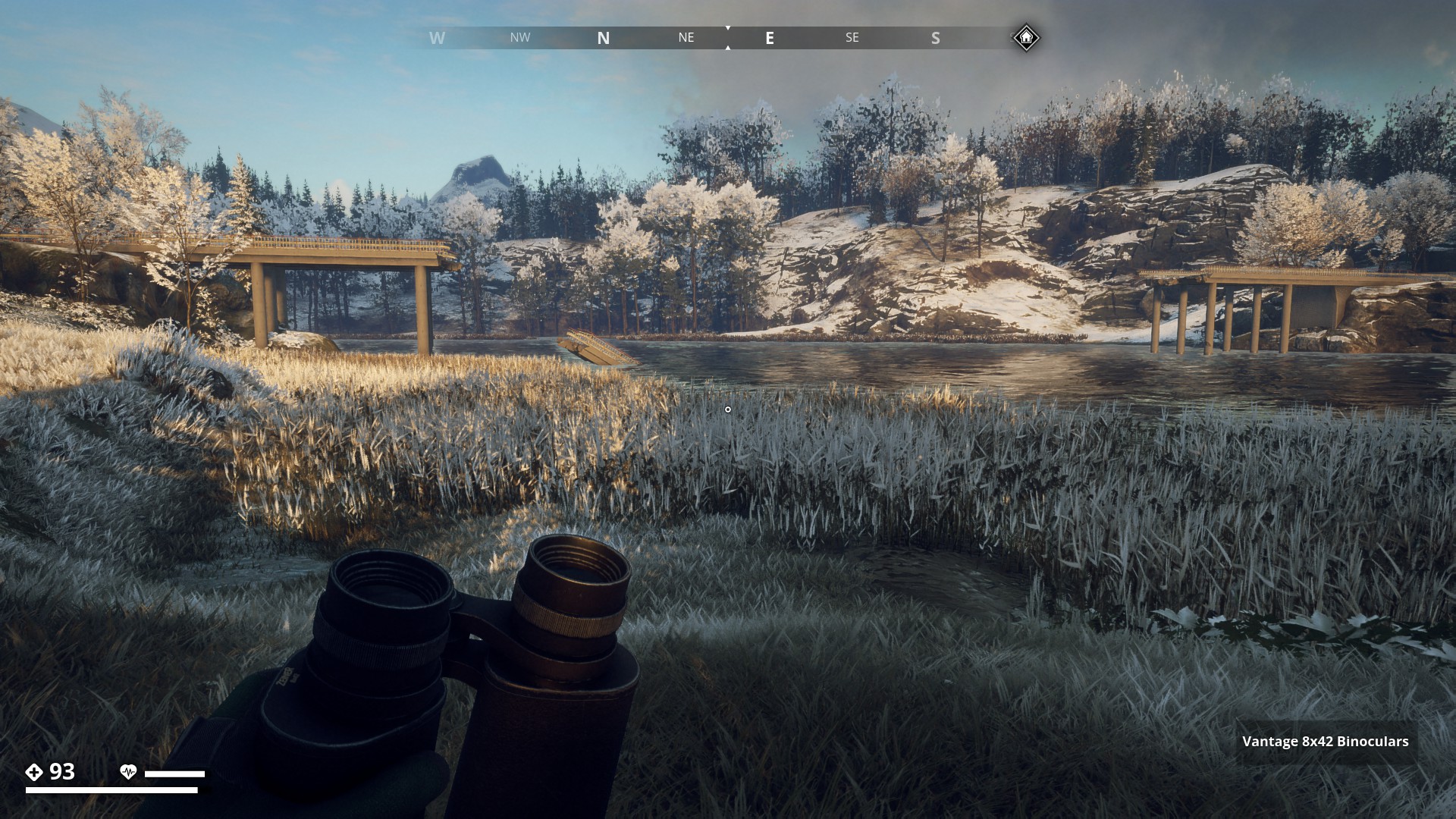
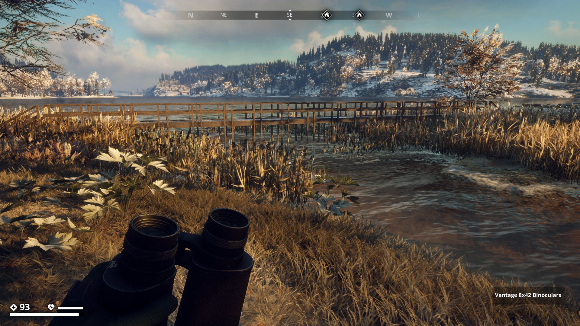
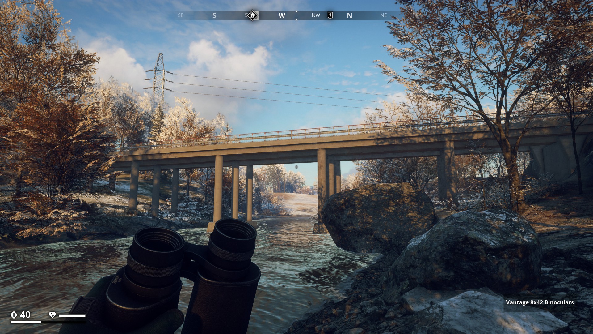
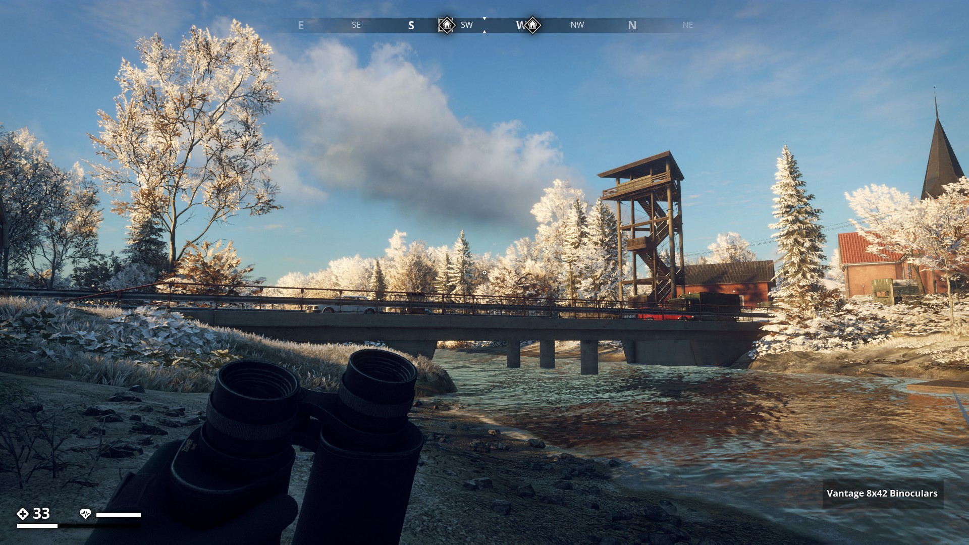
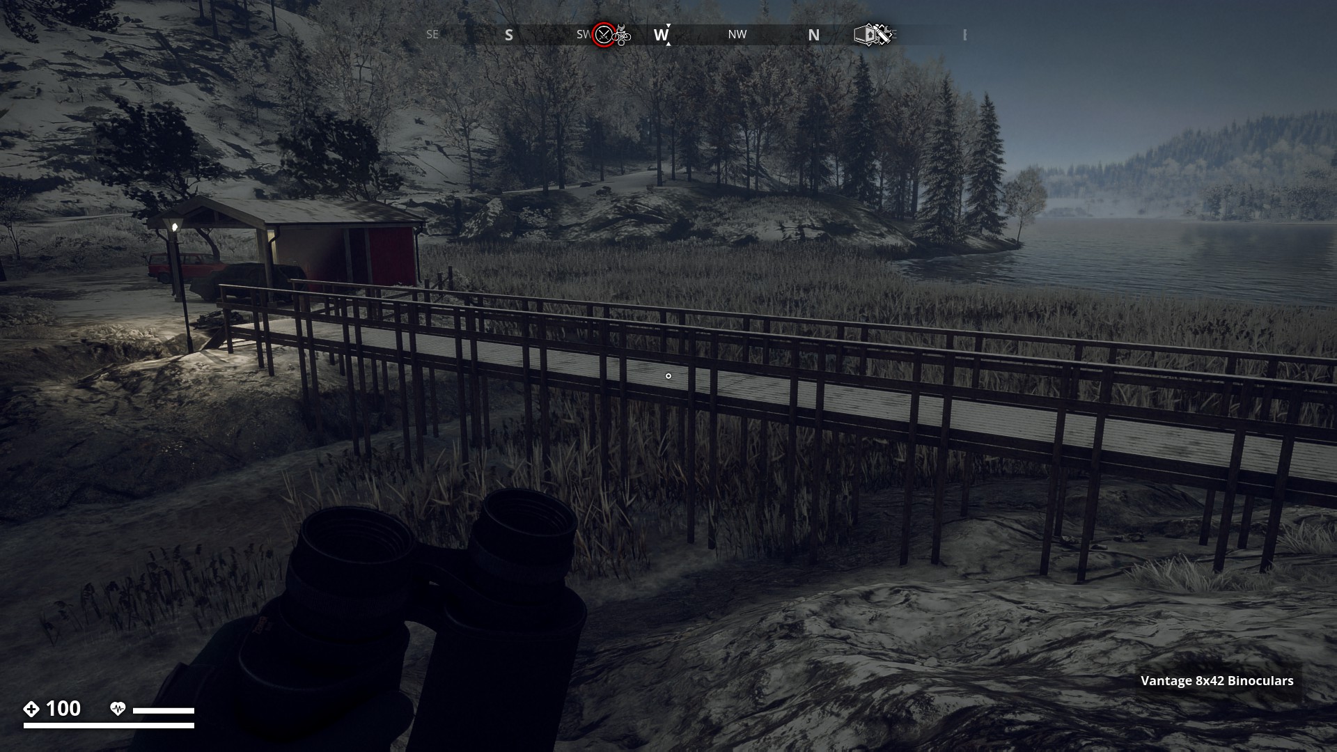
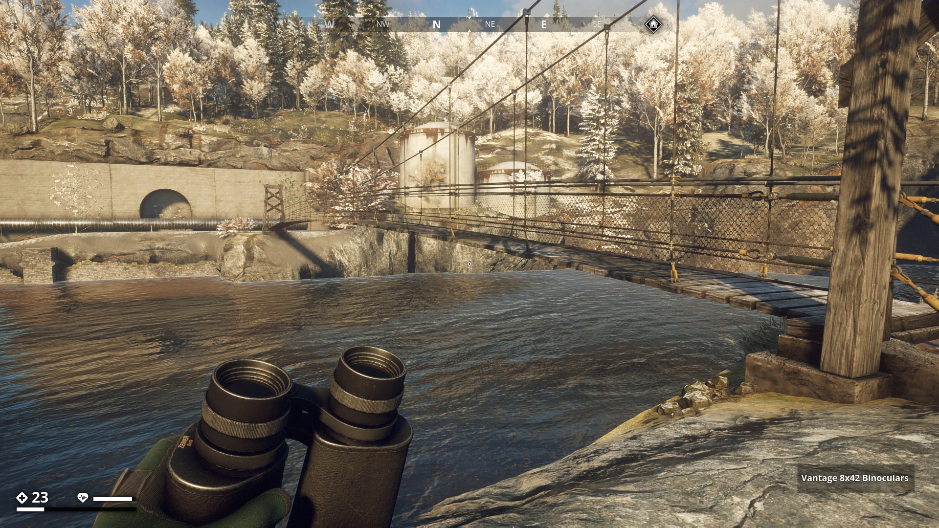
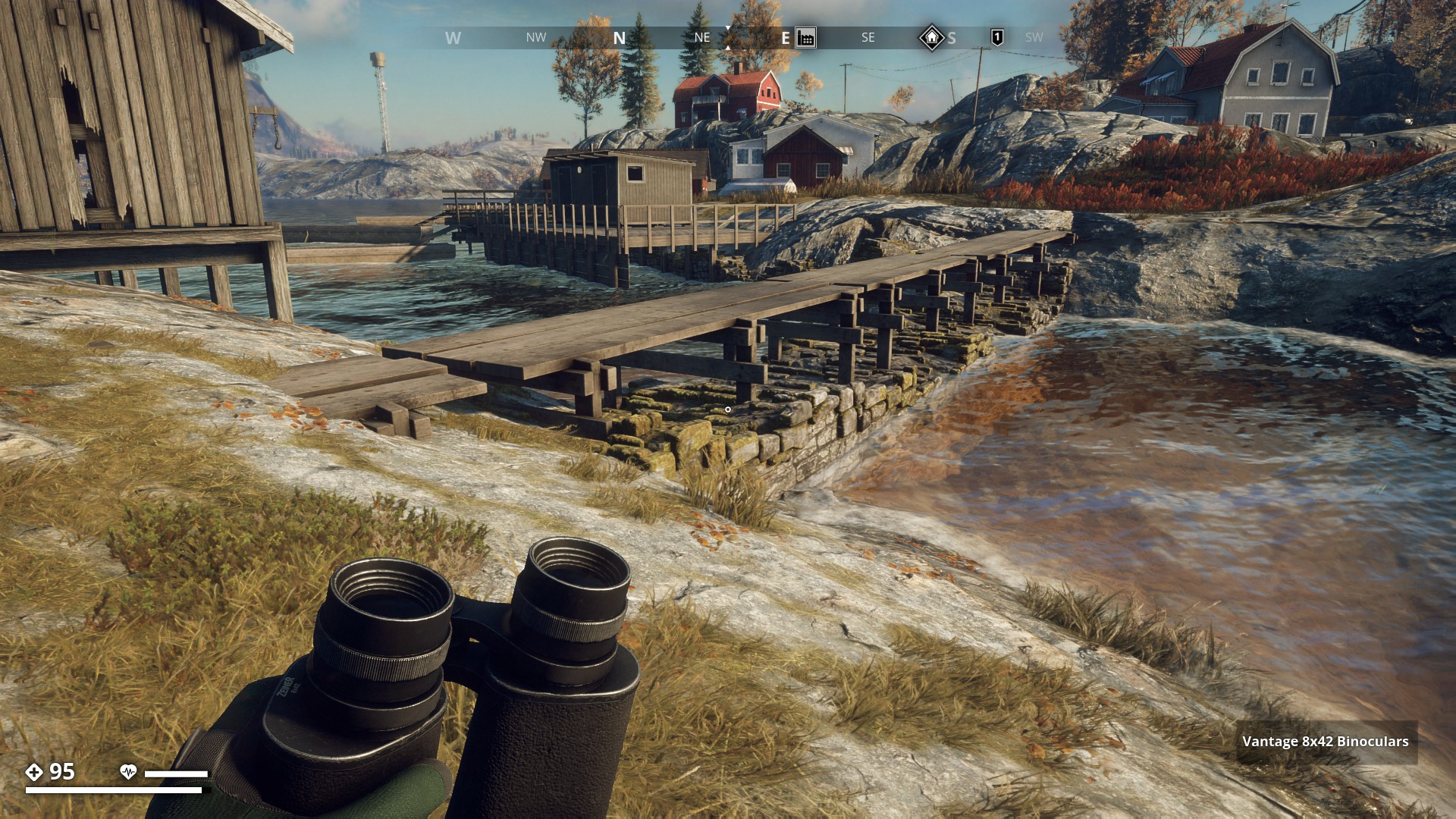
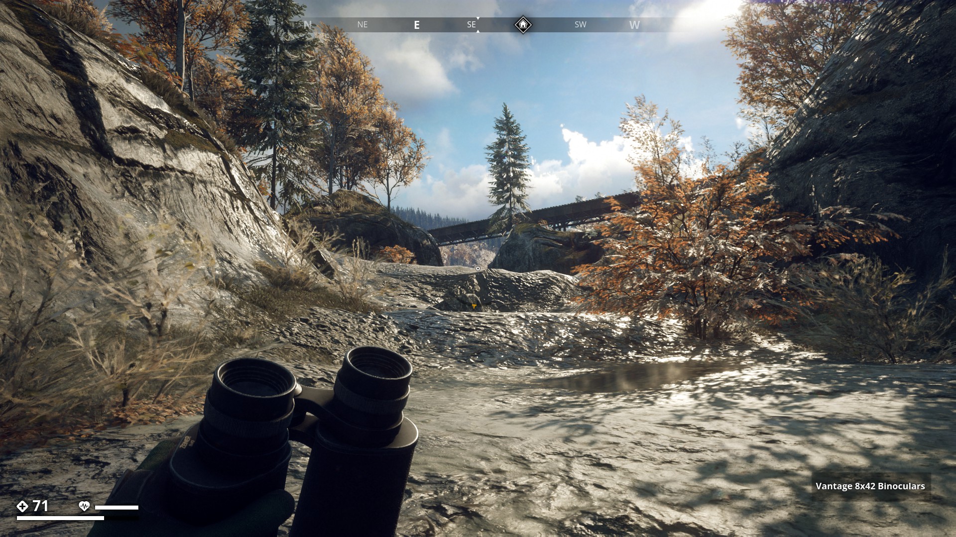
There are many Bridges and Walkways to find. Let’s run past all those I found so far. Starting in Archipelago. This is the long bridge from Norra Saltholmen to Södra Saltholmen.
▼
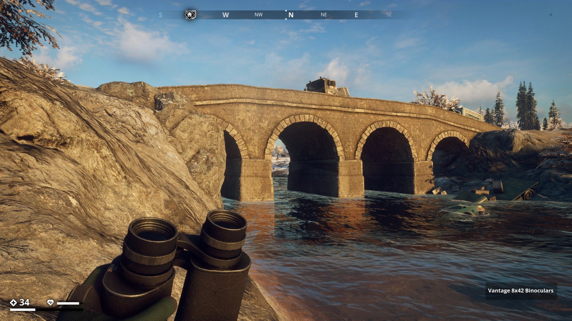
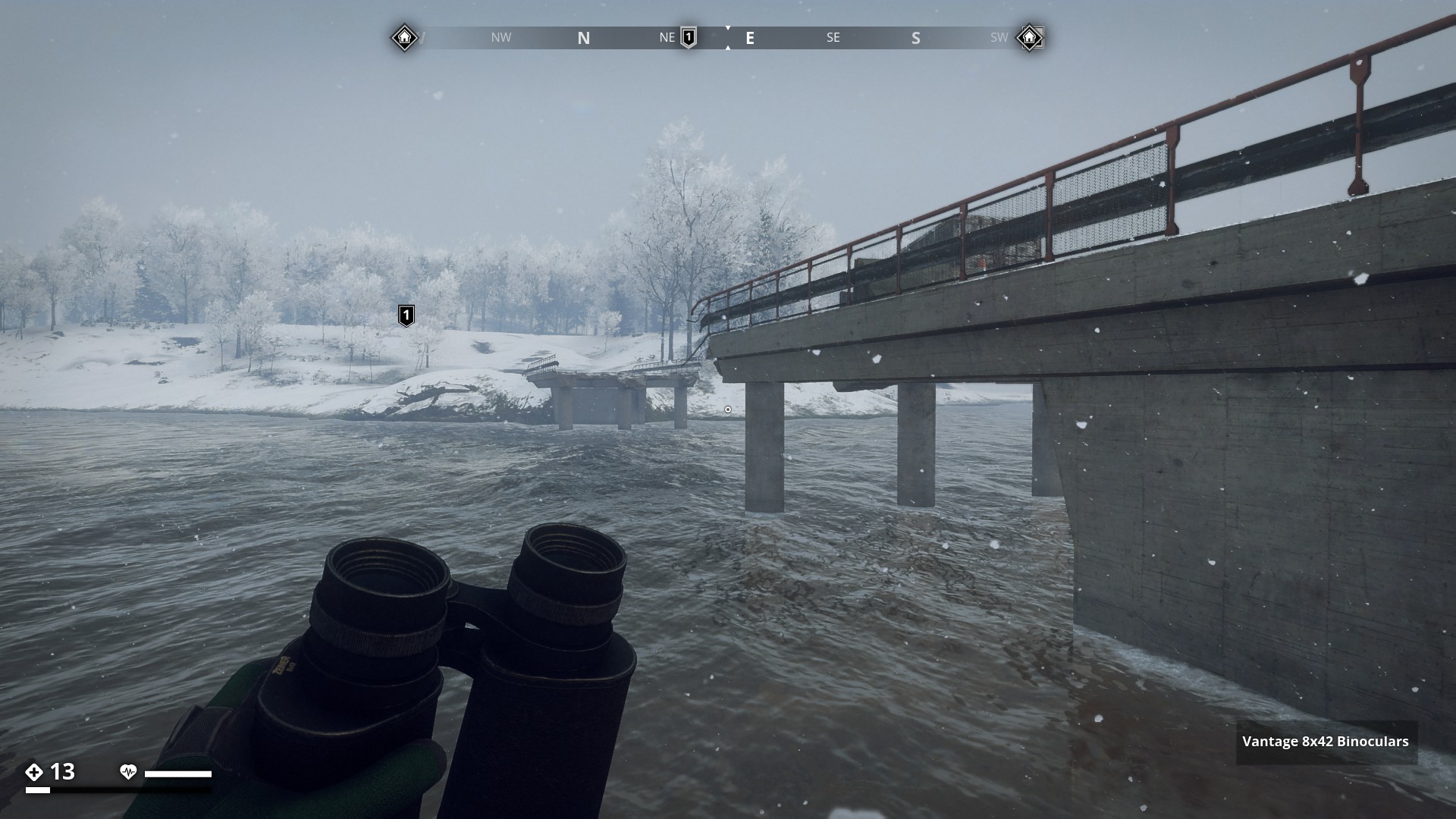
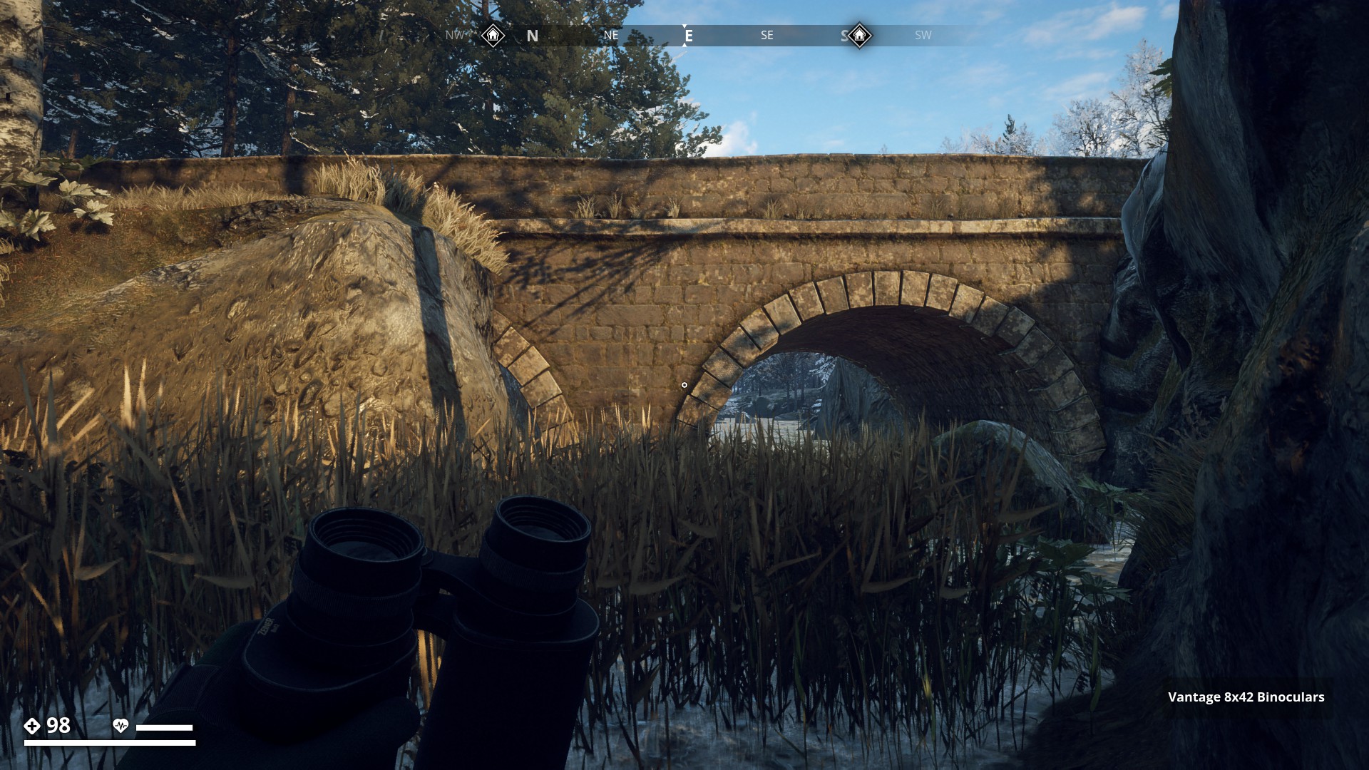
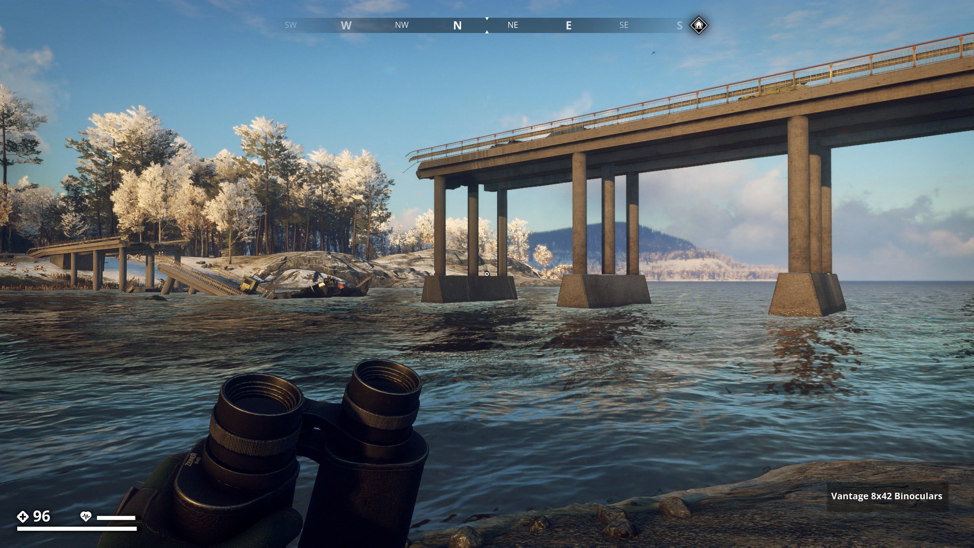
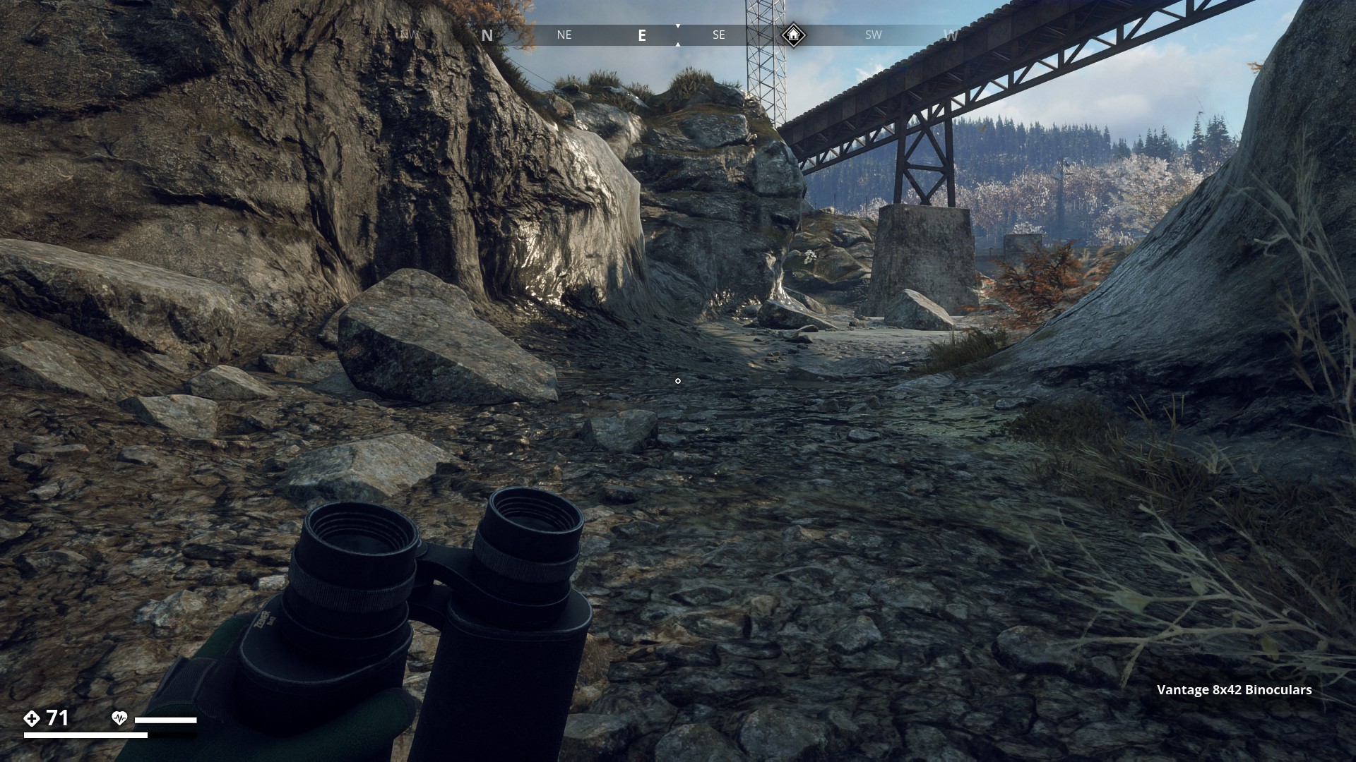
Next I ran across snowy Himfjäll Island and shot this broken bridge east of Österhällen leading to a small Island called Djupskäret.
▼
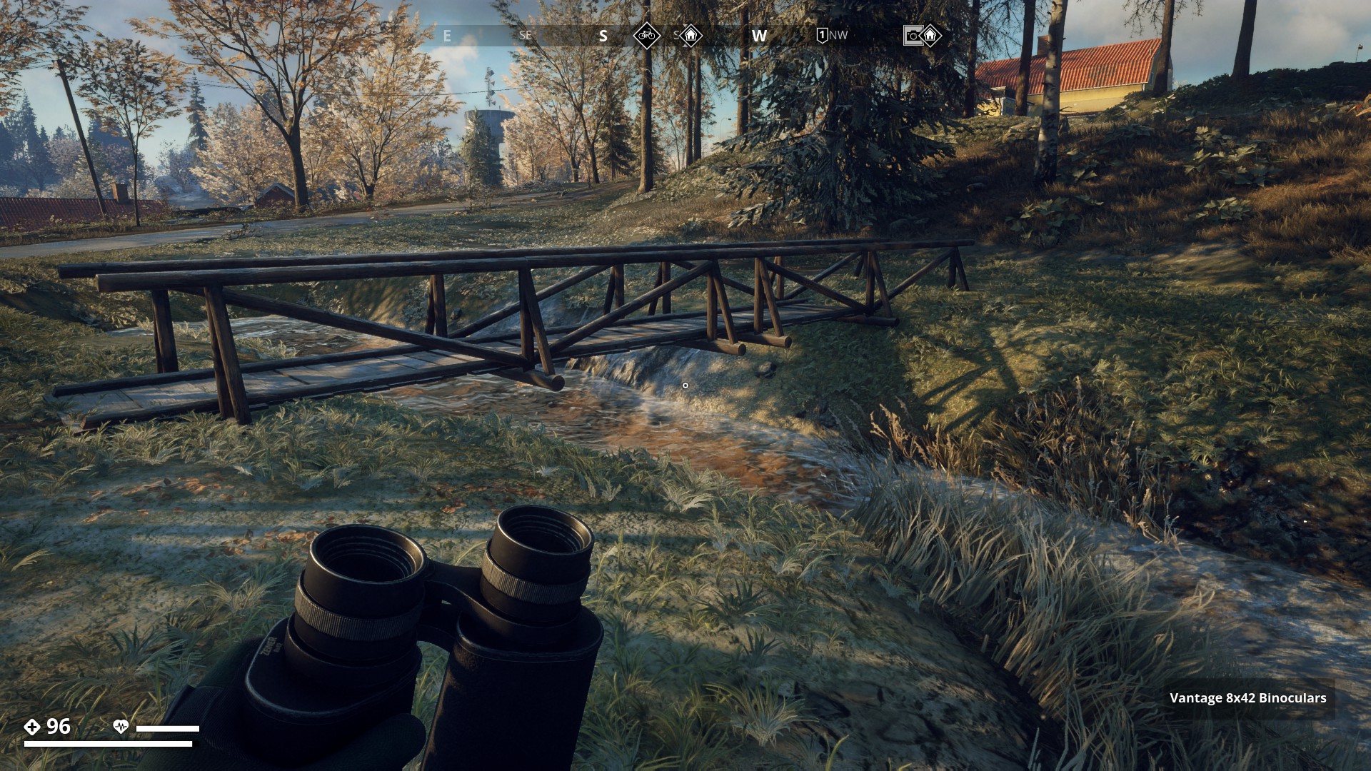
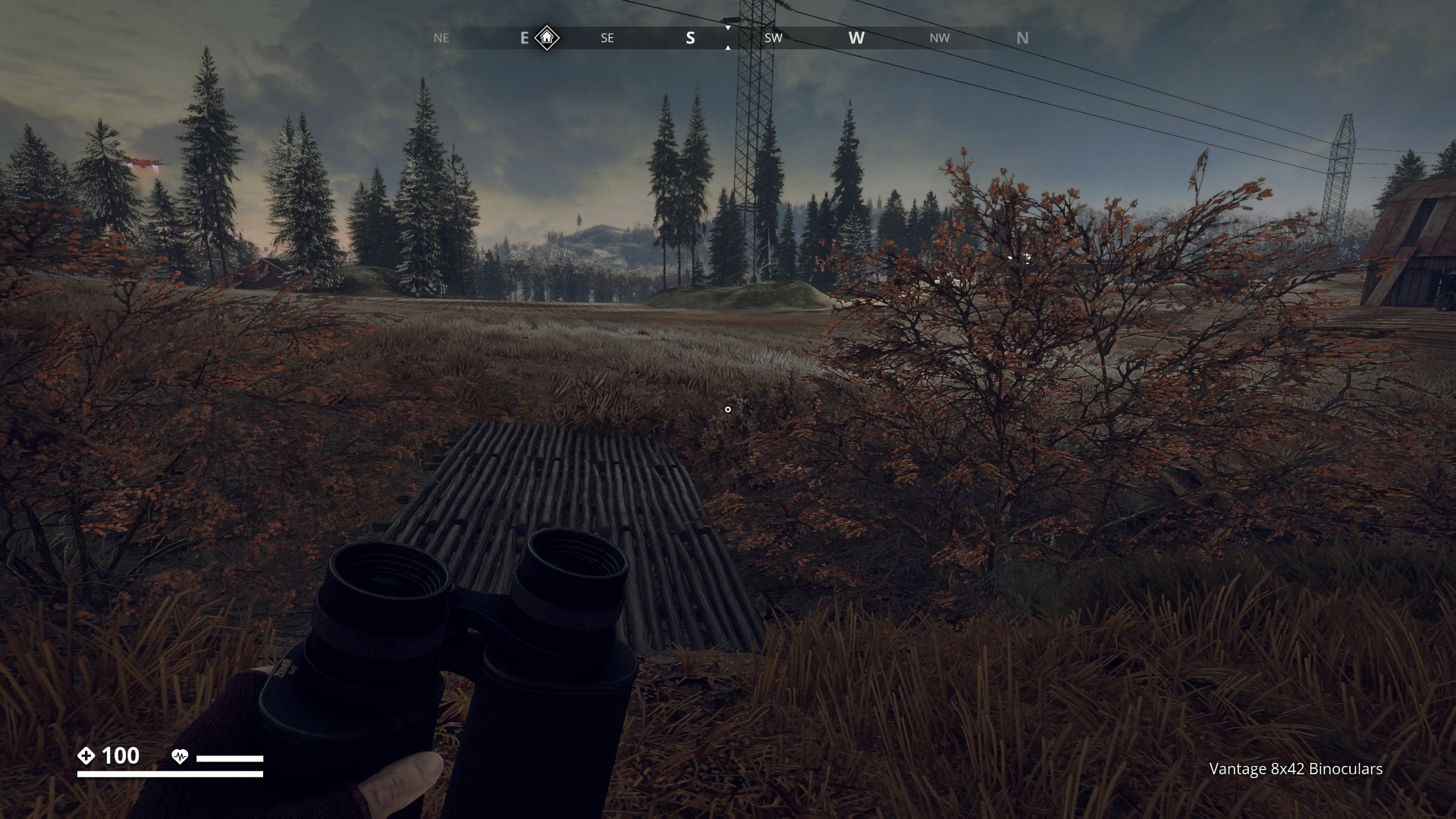
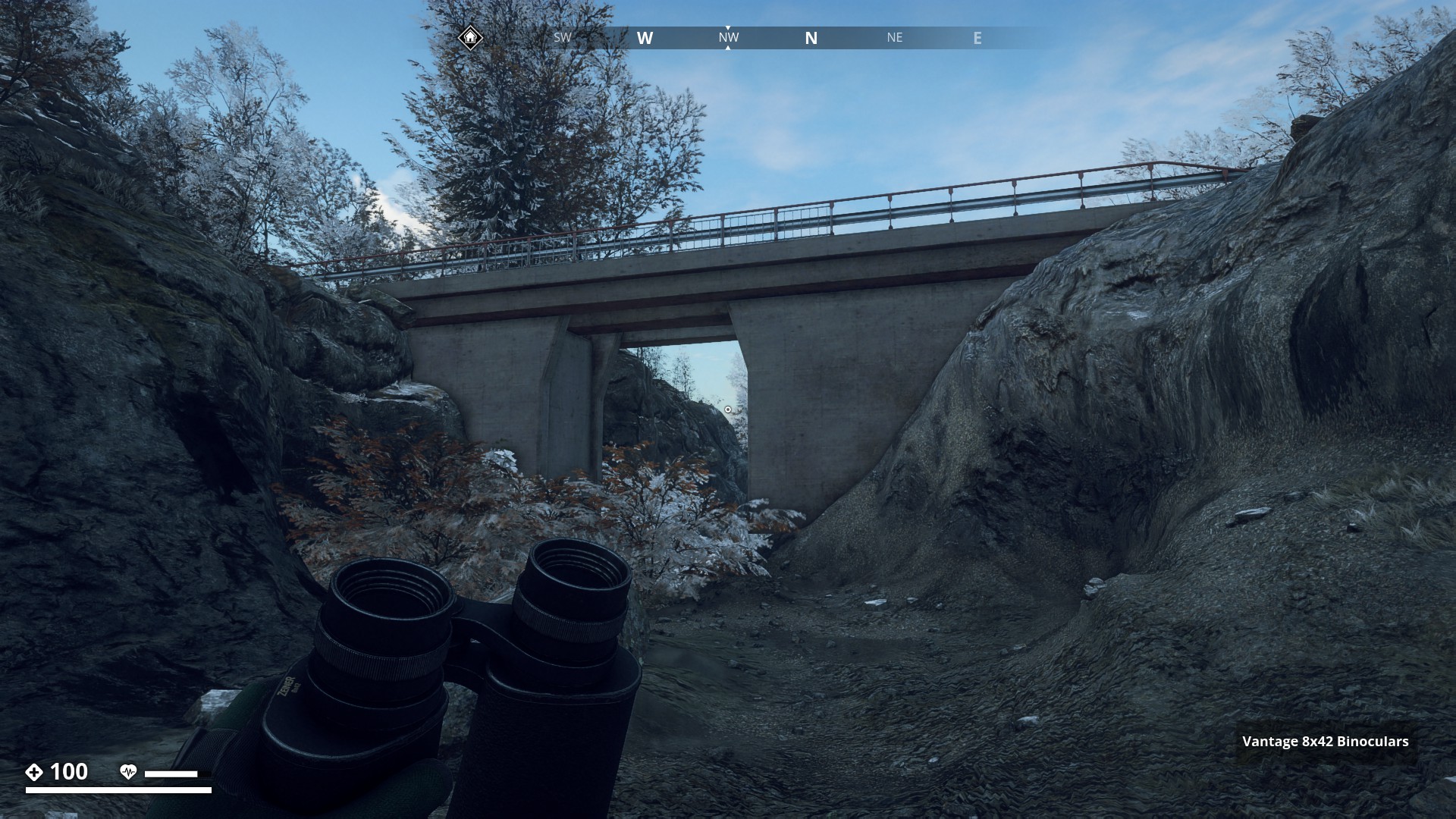
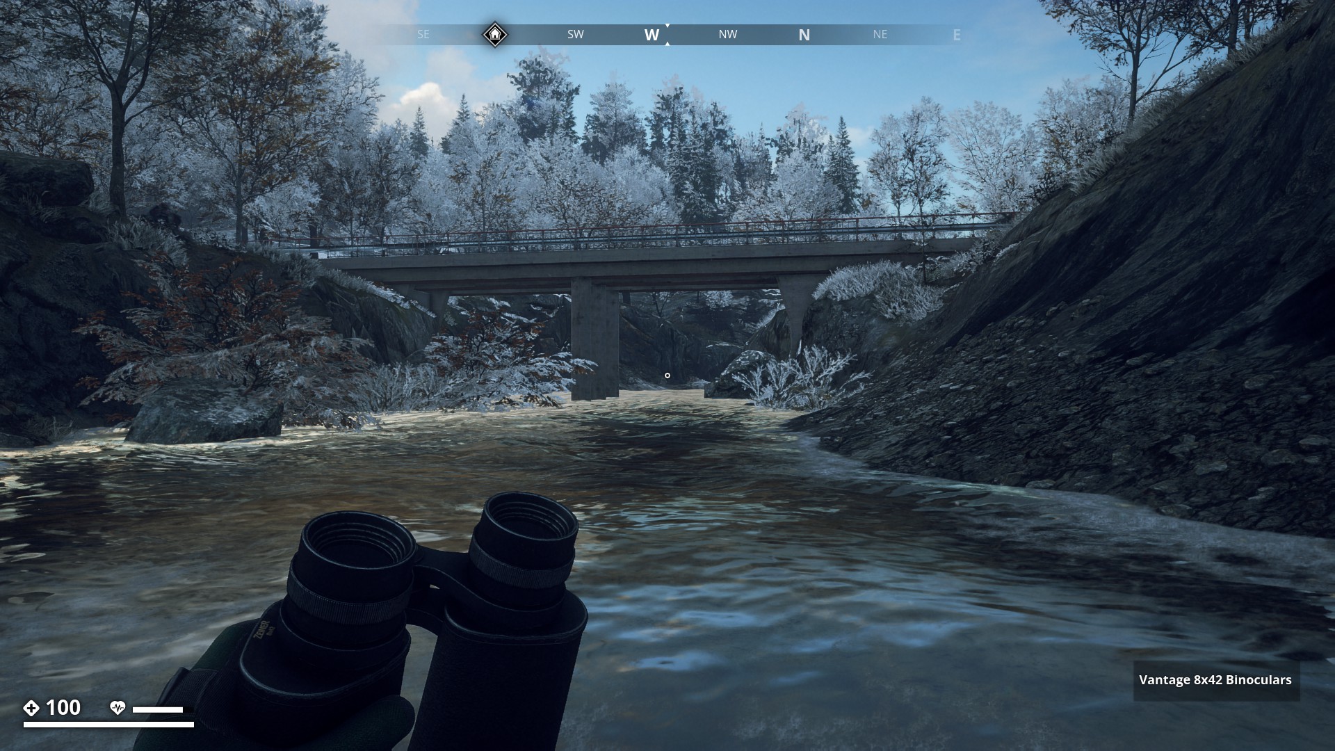
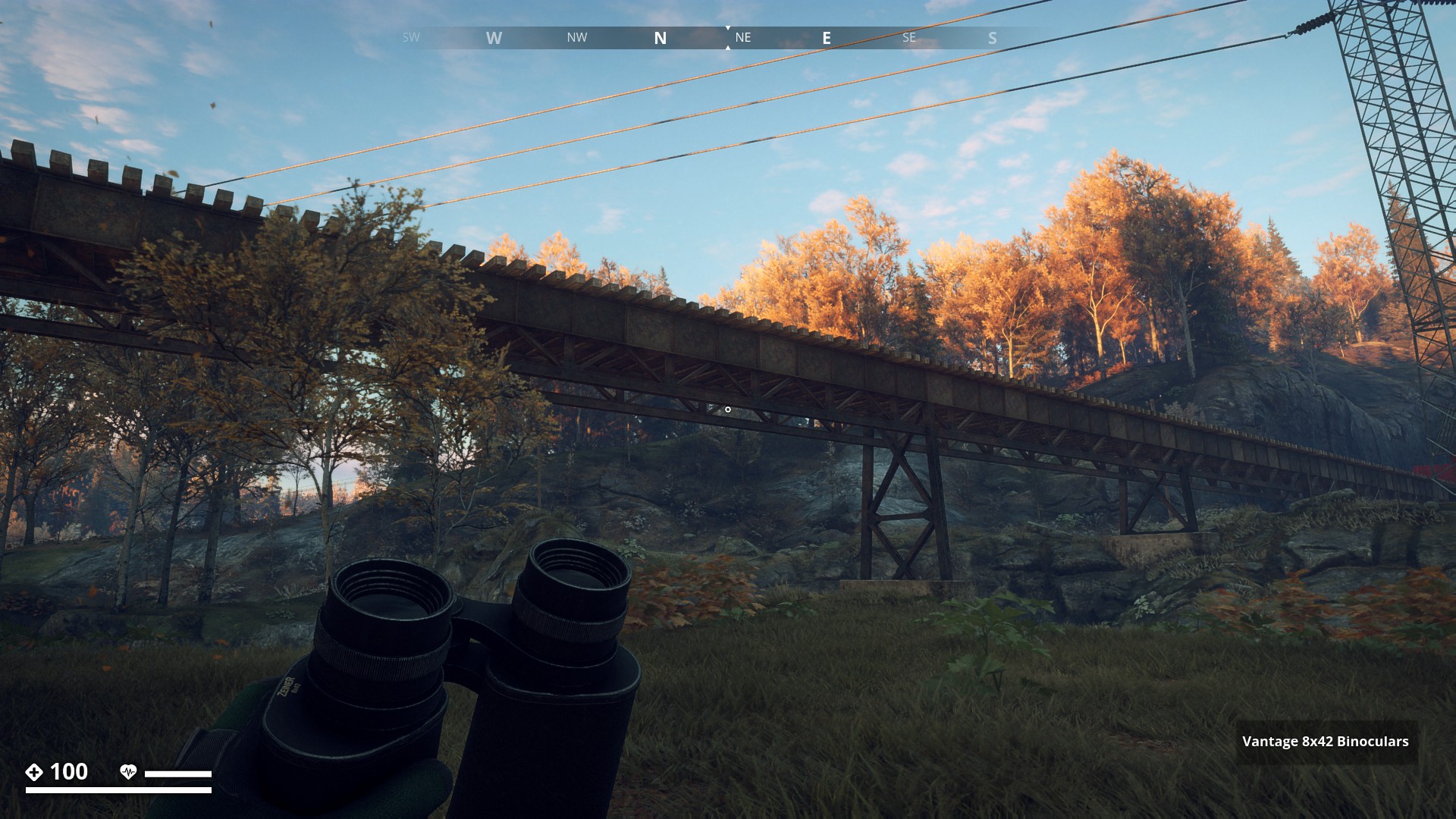
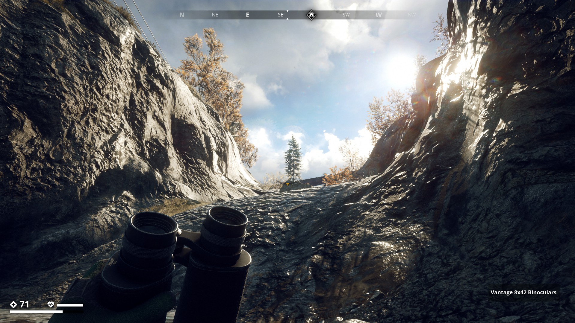
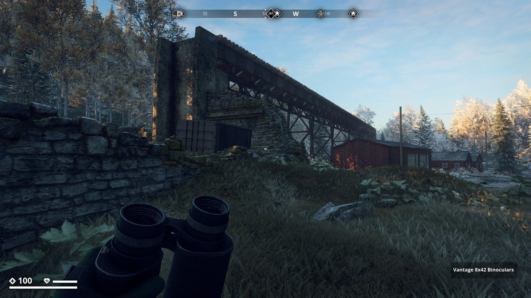
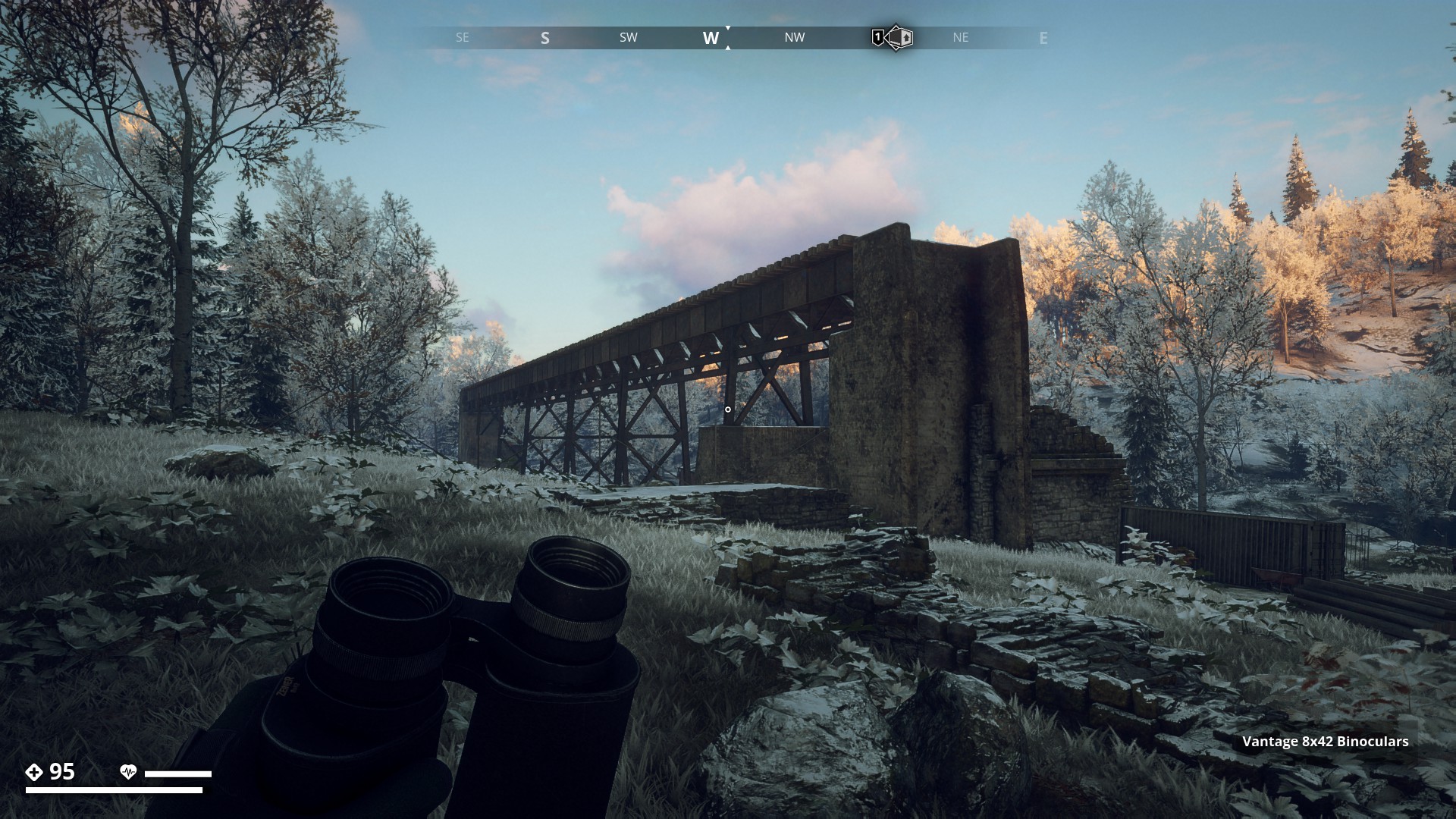
Another nice and narrow cable bridge crosses over the largest ravine so far in the game. It’s located east of Sorken bunker in Farmlands.
▼
Hello Gysbert, this is another nice hiking route. Really beautifull. 
Thanks, the GZ world is beautiful. 
Didn’t you like the first one: Route 1: Electrical Power Line ?
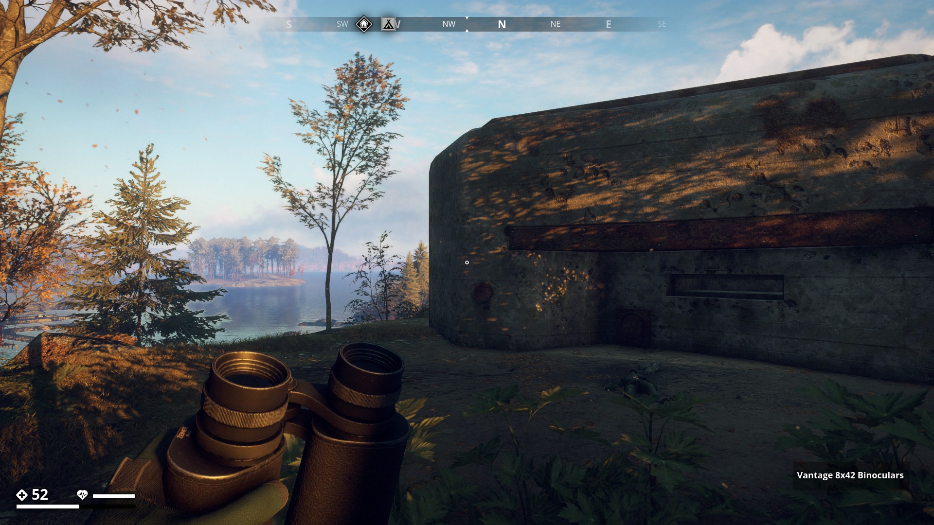
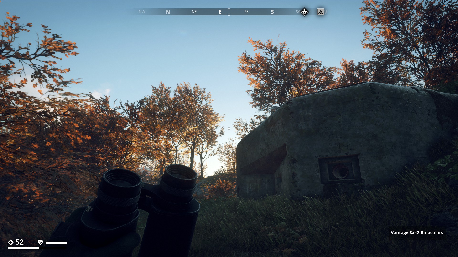
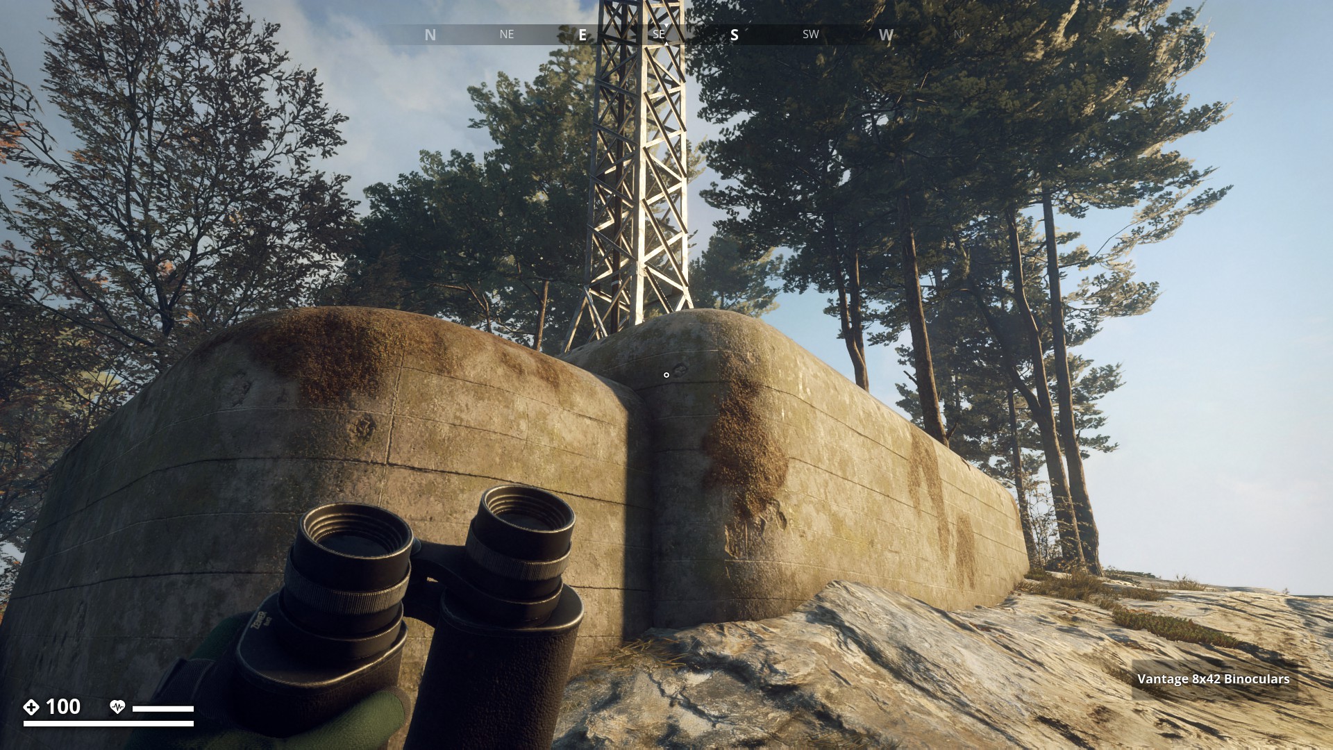
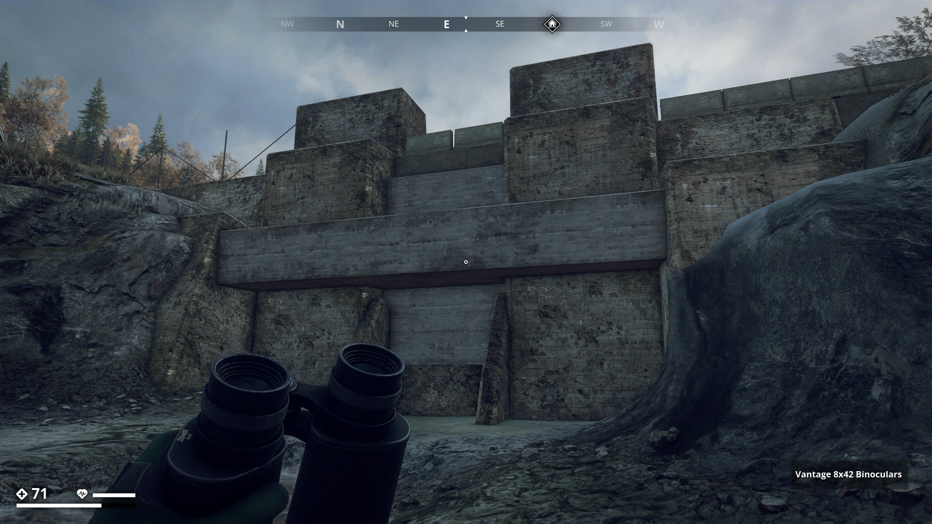
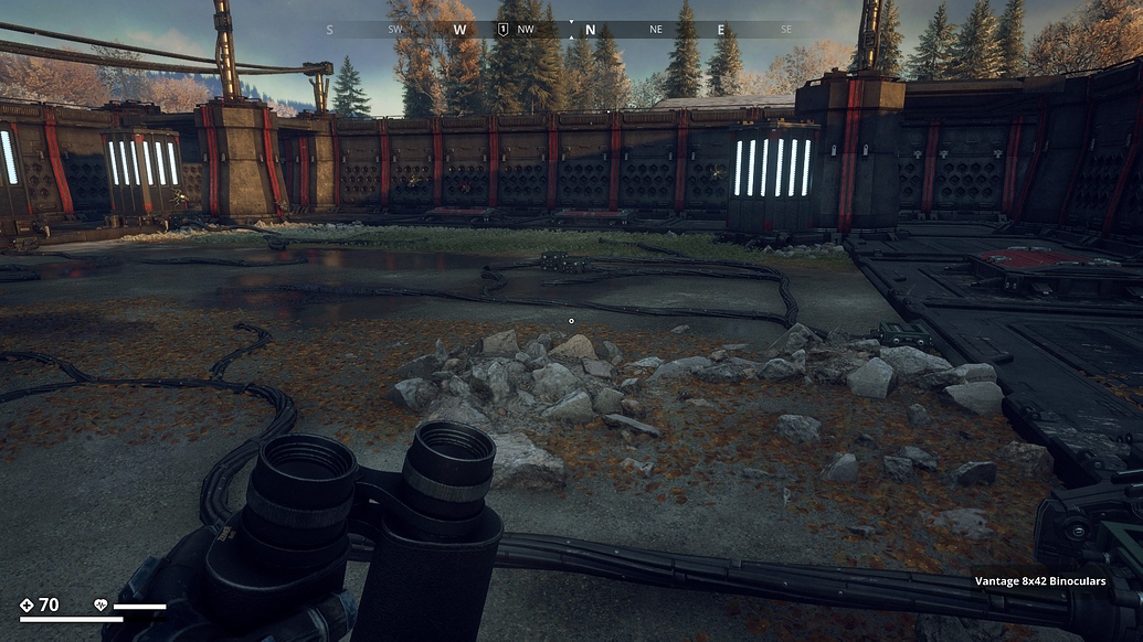
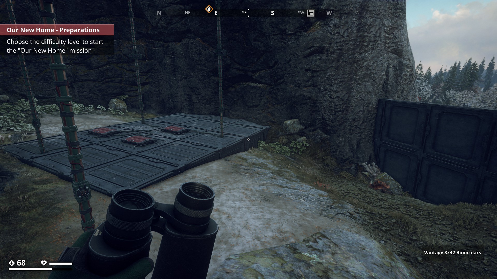
Kasematt or Defence Bunkers
![]()
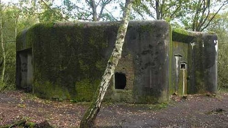
On my travels through the Swedish game world, I came across a number of Concrete Buildings like the one, on this “Real world” picture below.
▼
Archipelago_Region![]()
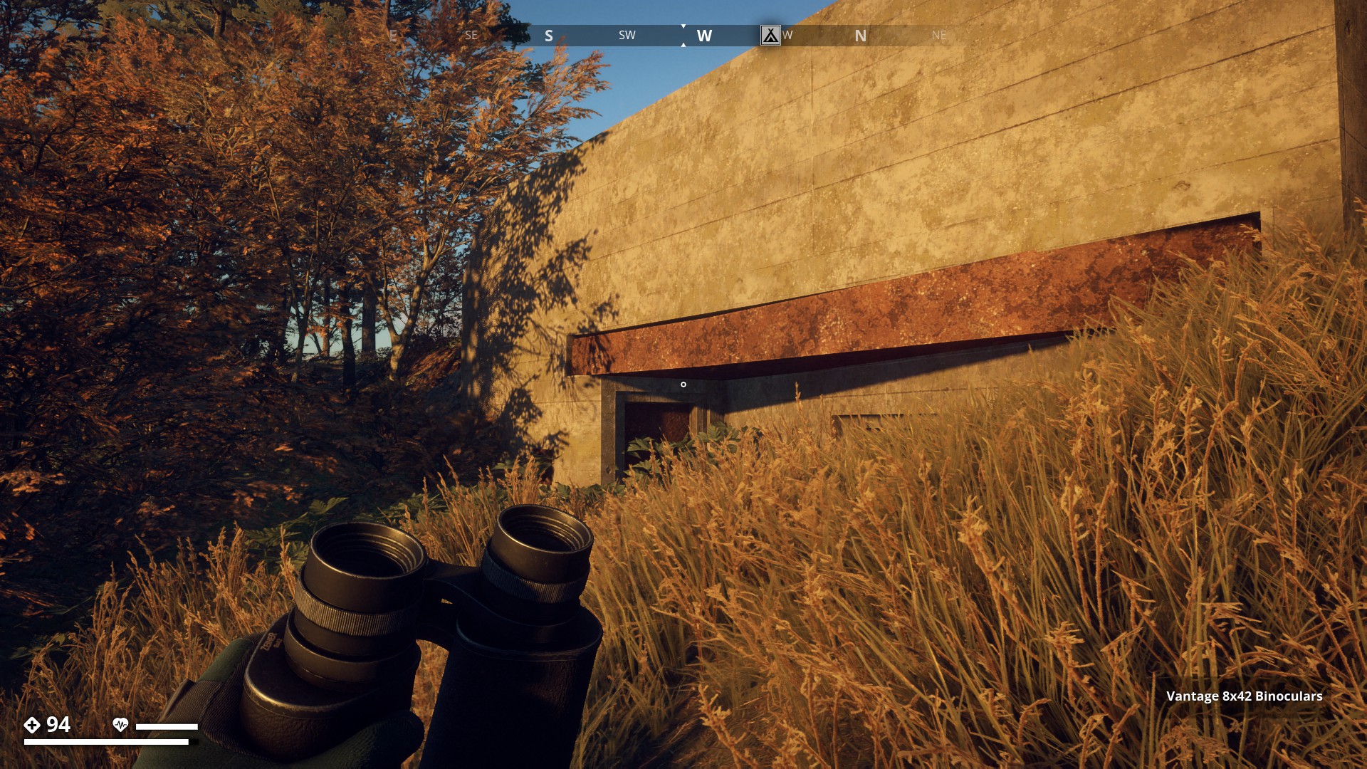
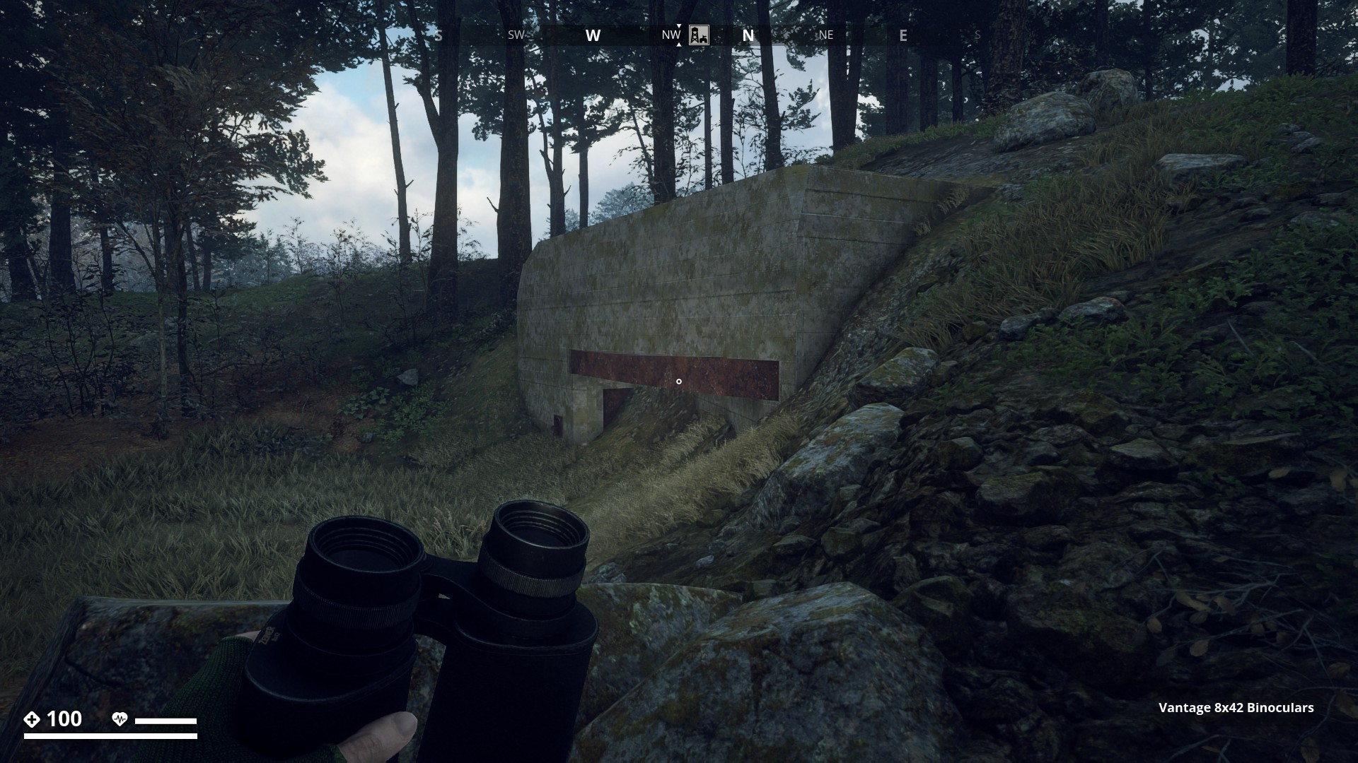
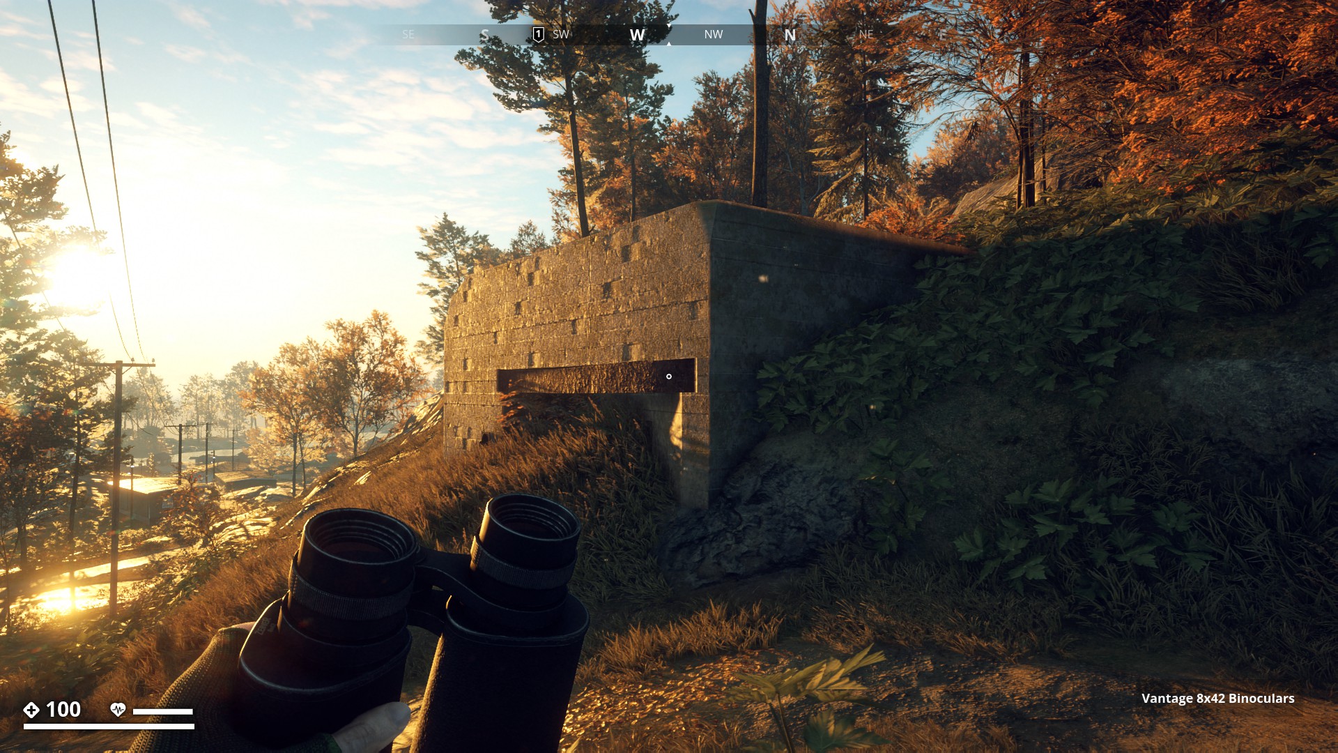
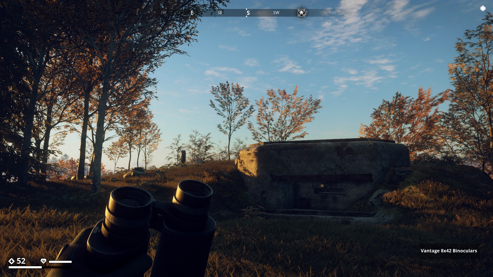
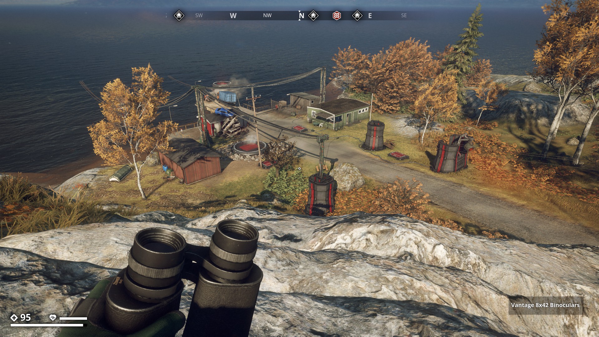
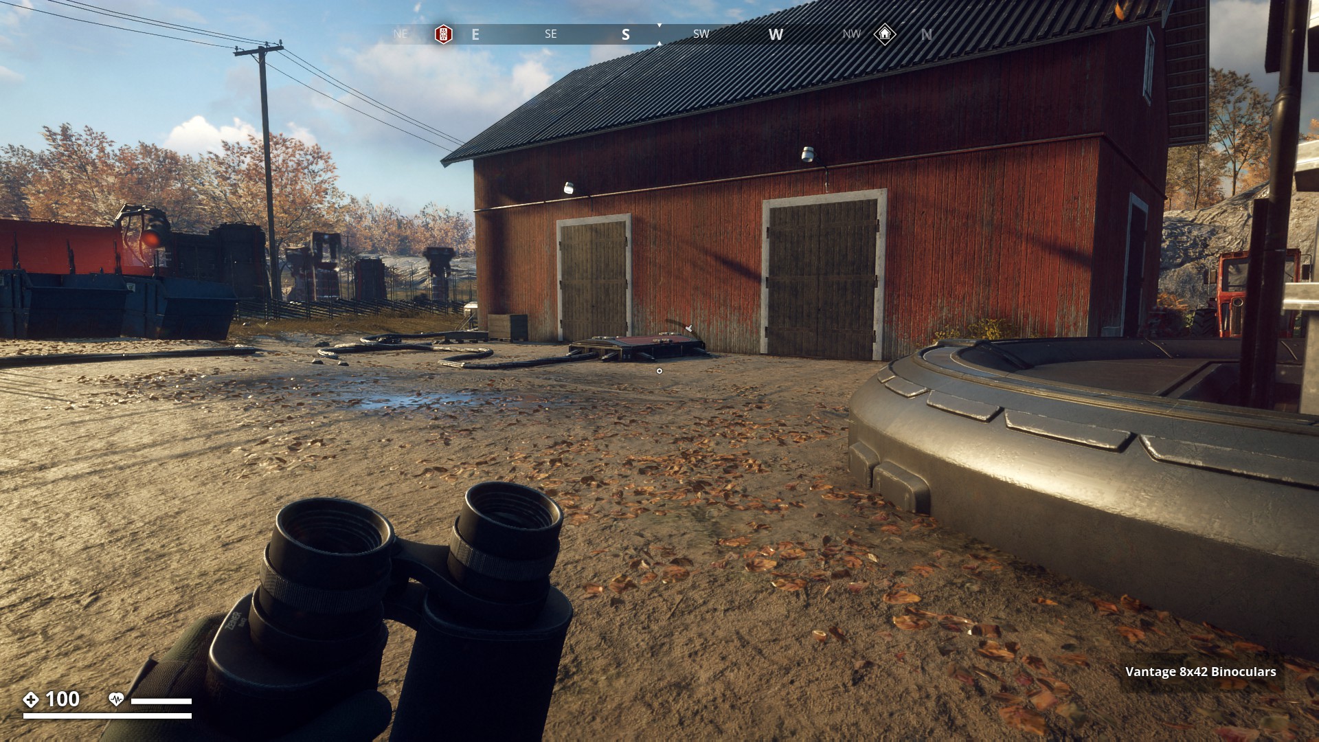
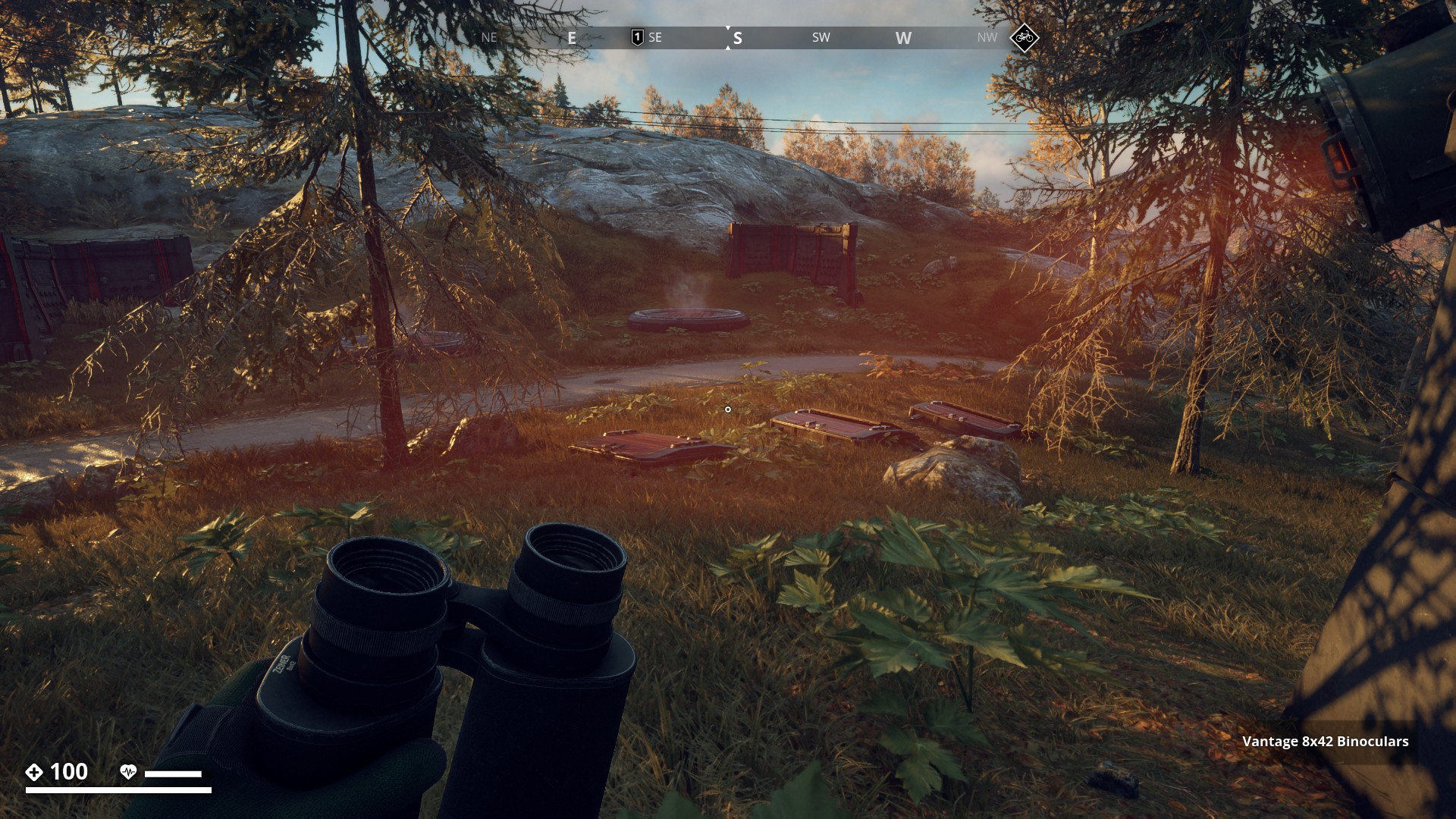
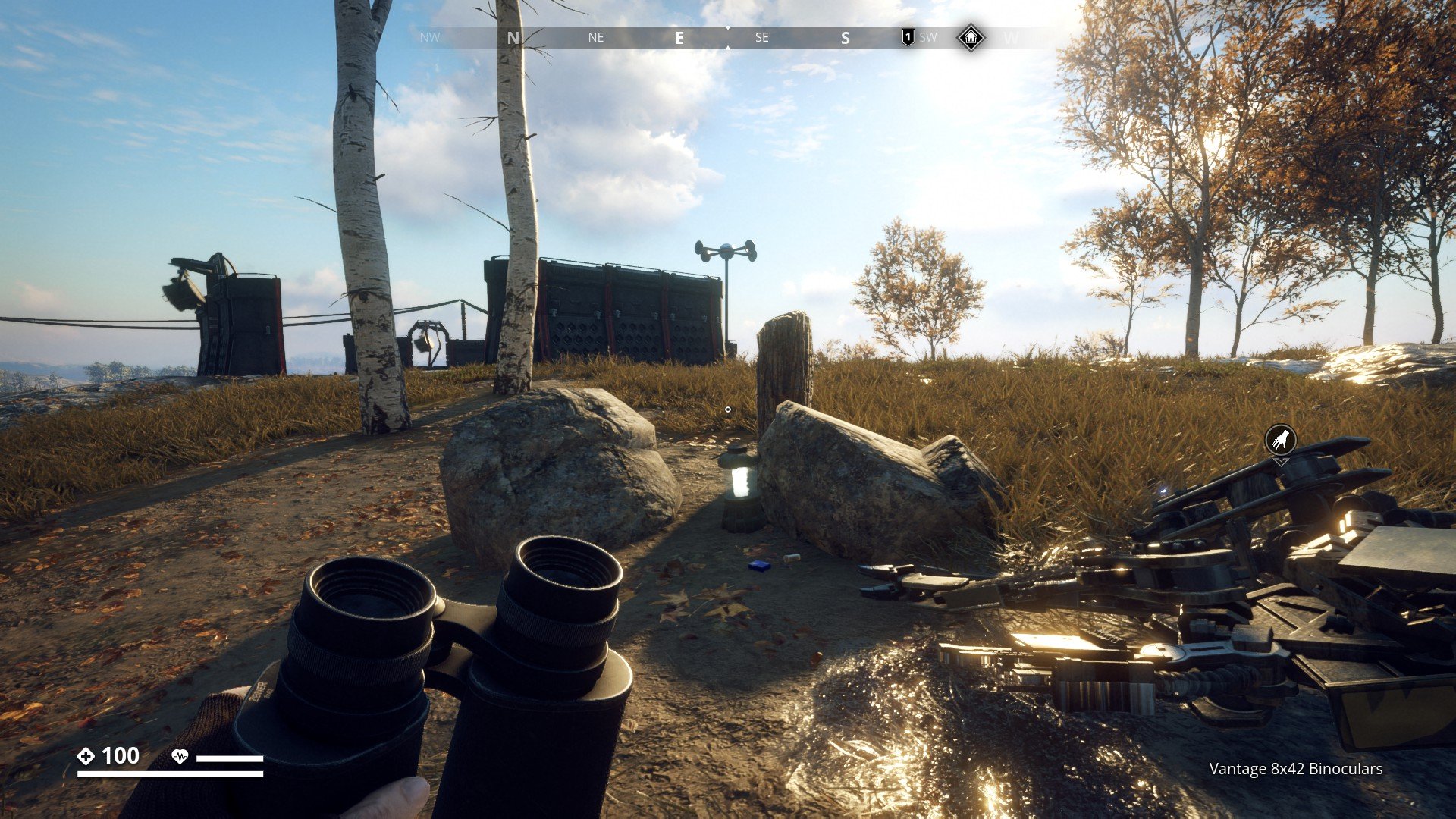
Starting off in Archipelago with a group of two Kasematt.
A kasematt at Saltholmstugan (1 of 2) -100, 3318.
▼
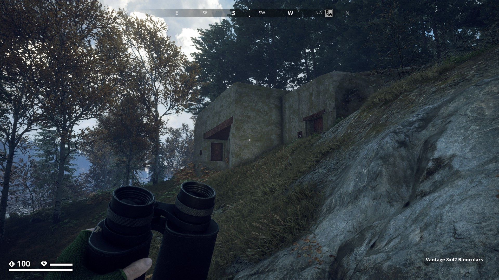
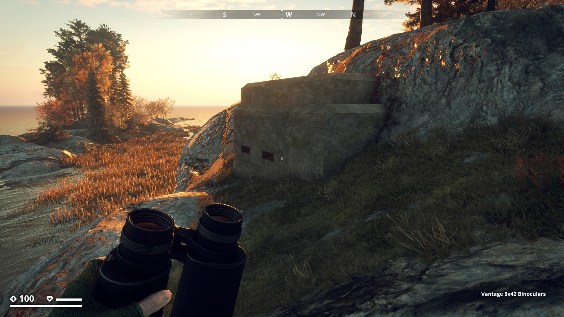
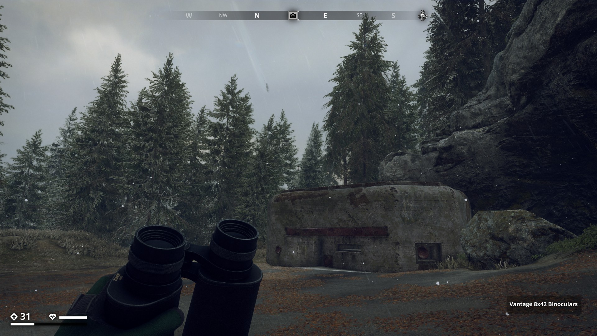
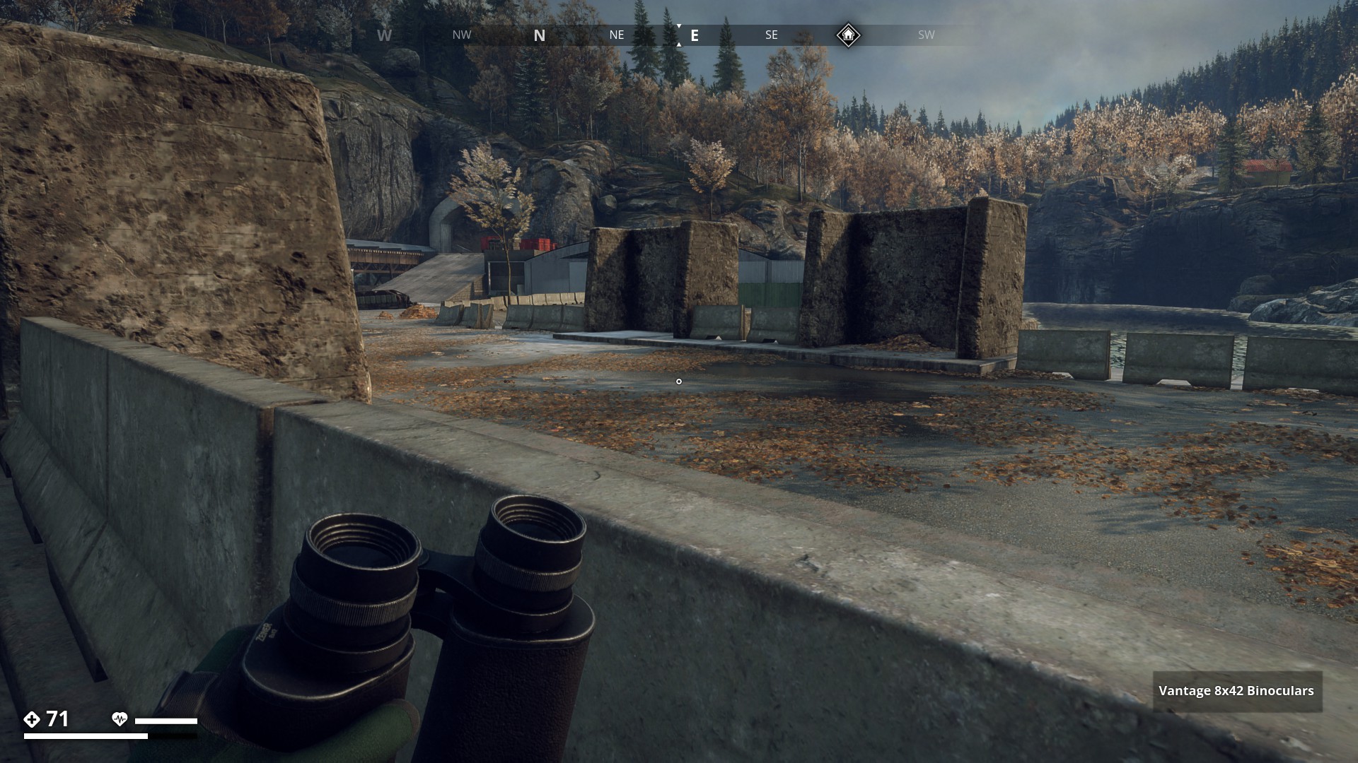
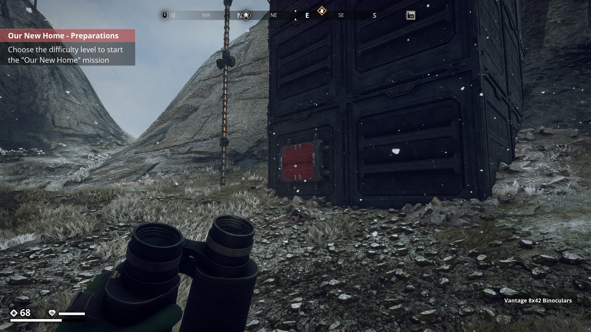
Mountain_Region![]()
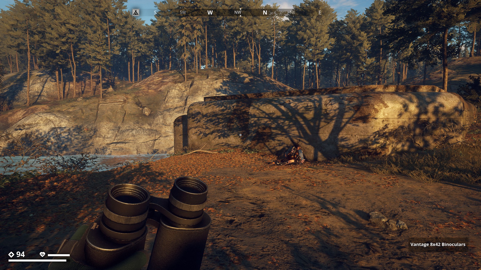
First I thought these Swedish “Kasematt” bunkers were only featured in Archipelago Region. So I searched and searched and it seemed at first I was right. But then I found 2 more kasematt in two different regions. This one in the Mountain Region at -2854, 423.
▼
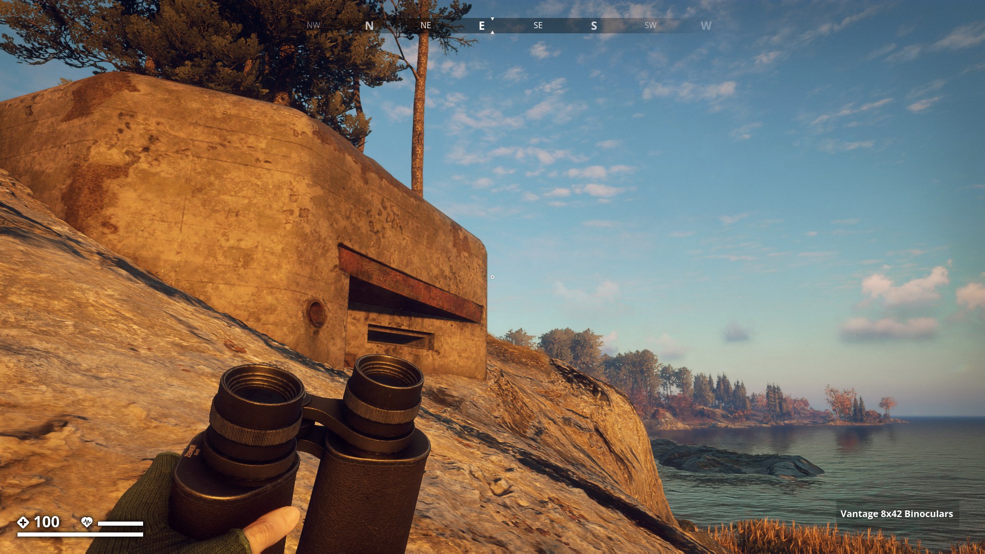
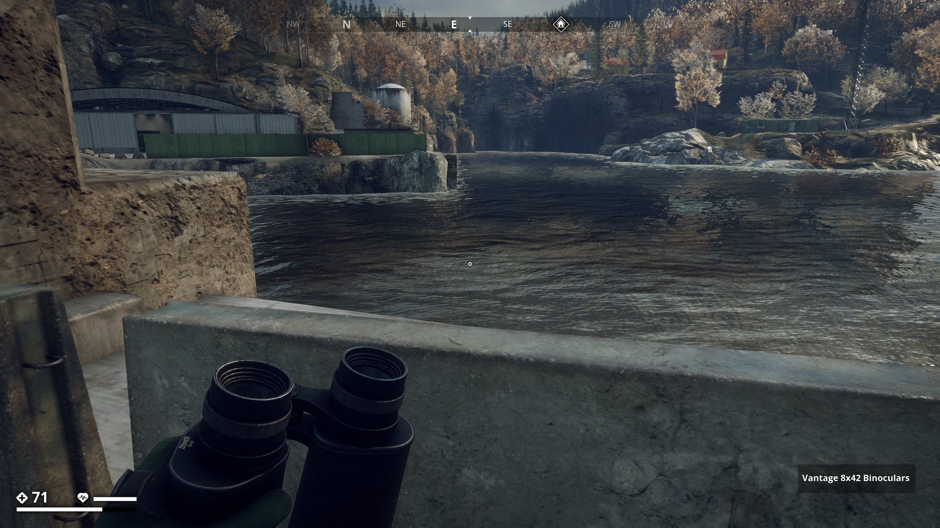
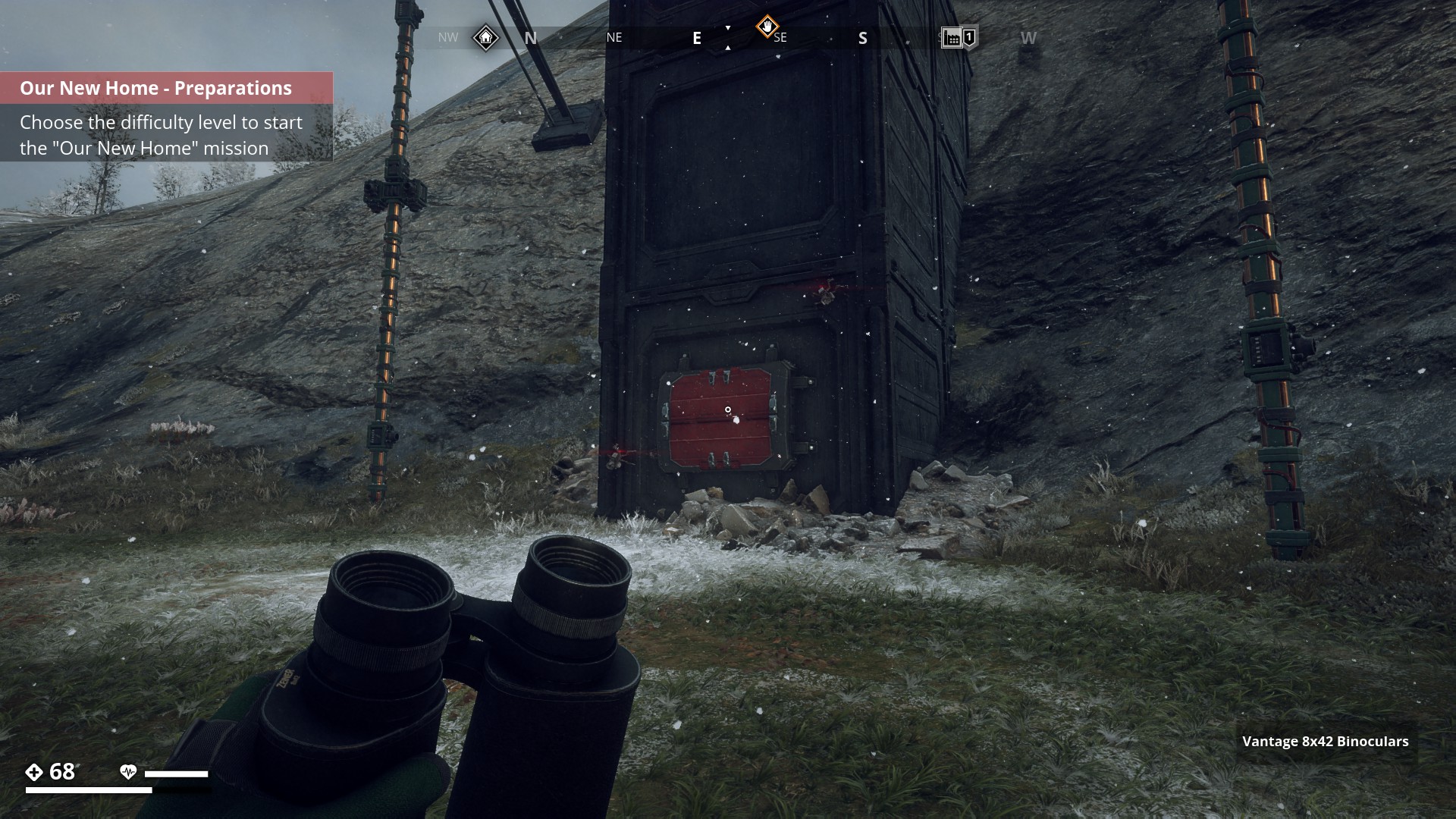
Marshland_Region![]()
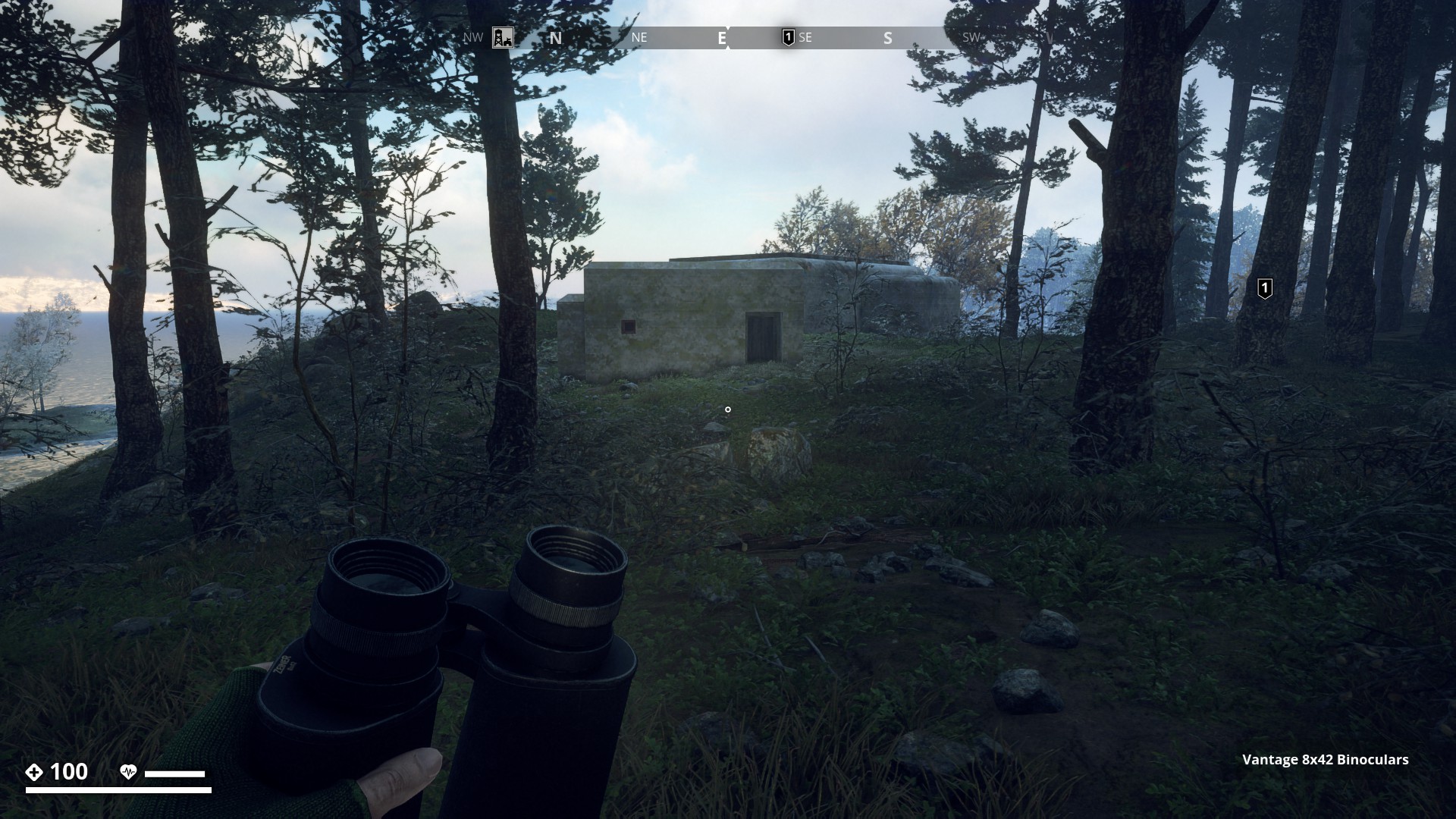
And to end this Route, this nice icy one in the Marshland Region west of Norrmyra Artillery Base towards the coastline at -3000, -3127.
▼
![]()
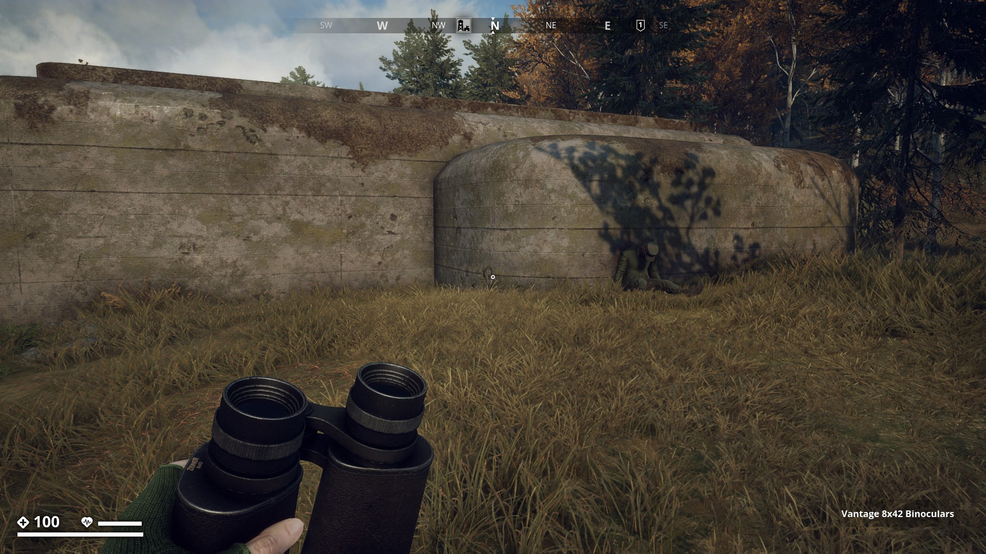
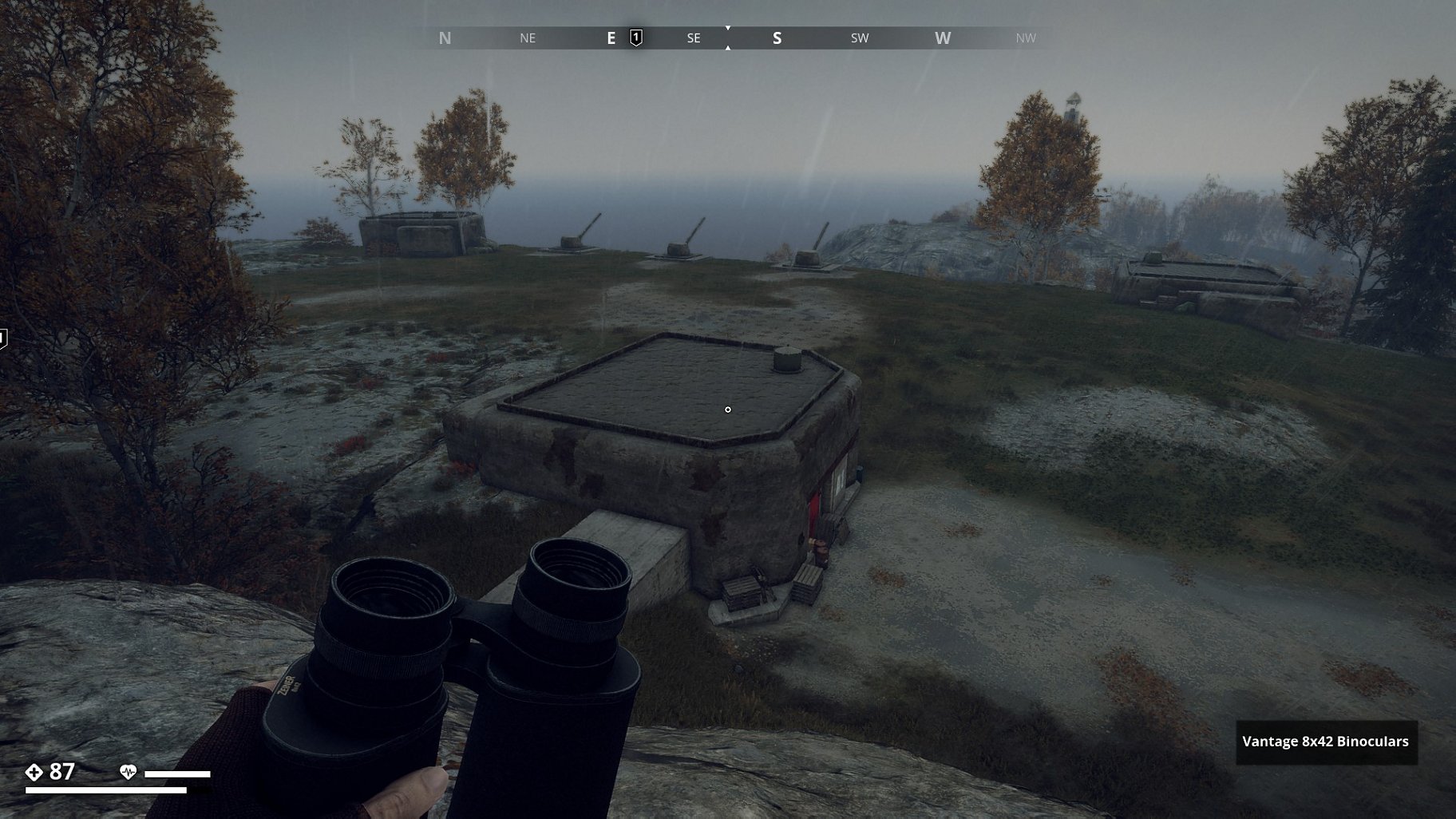
South_Coast![]()
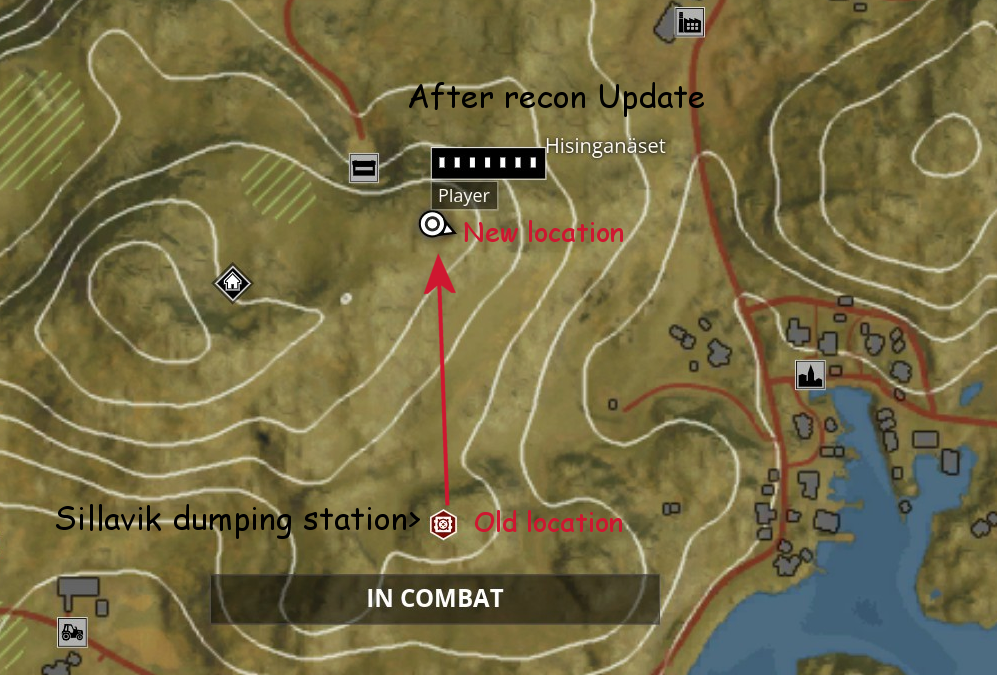
Three Kasematt at a rainy Sillavik Artillery Site (Recon Update)
▼
Hi Gysbert, another interesting hiking route.
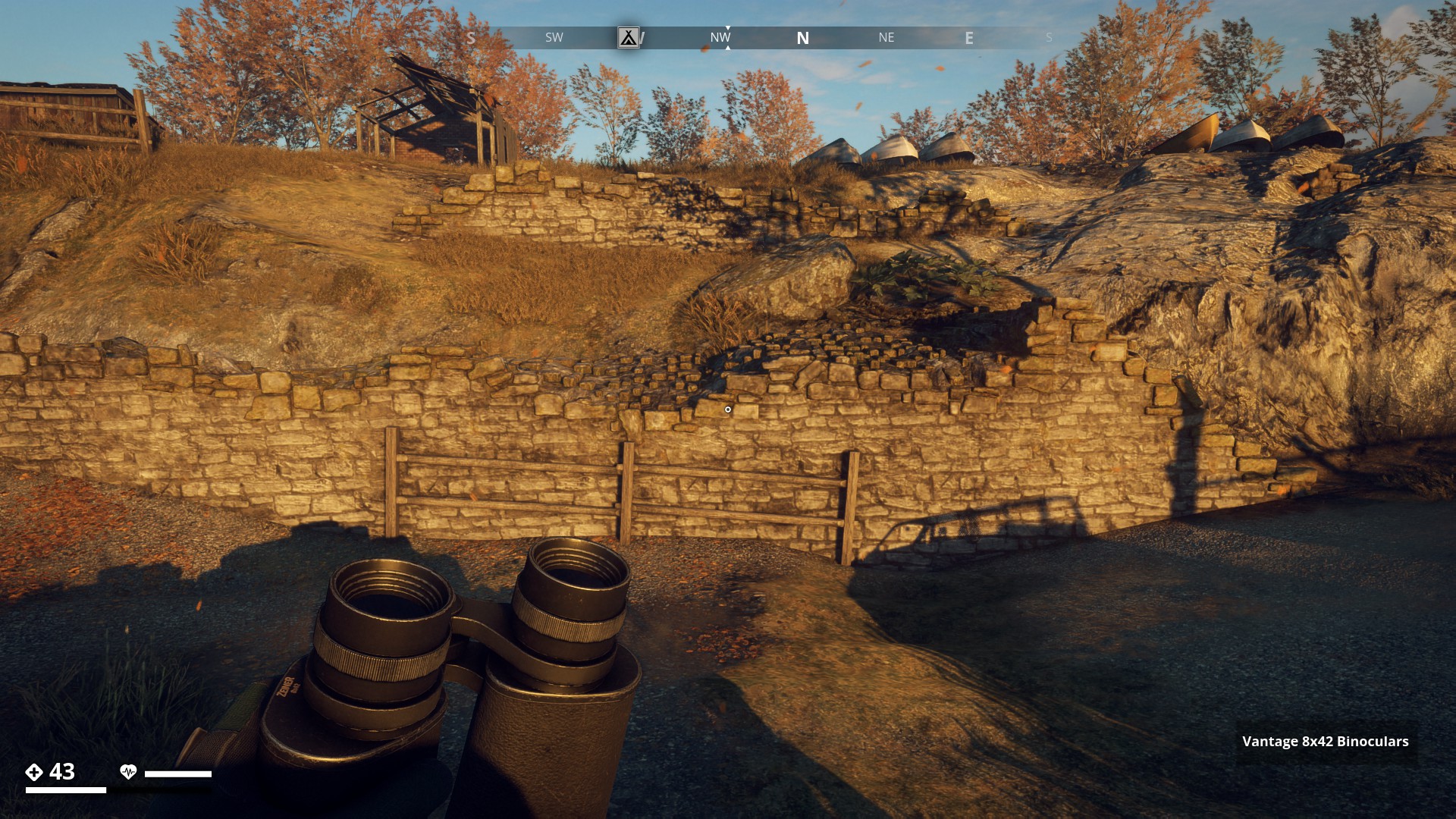
The first time i saw this kasematts i thougt it was a part of air ventilation for the bunkers. As i saw the first kasematts at the very end of Ibboholmen near the bridge to Salthamn. It has make me think of that idea. Yesterday I made a hike from Granthorp over the bridge to Salthamn Church and on my way to Dyviks Udde i came along the kasemattes at the Sandviken Camp. I tried to get in because there was a wooden Door at the back end but you can’t open it. I fired a HEP Bullet at it but nothing other happened that i killed myself 
I think there might be a small one on himfiel around the artillery base to the southeast @Gysbert I’m not sure but I remember something like it there
I would be nice to actually enter some of these, wouldn’t it?
I’ll go and check. Thanks.
Edit: Haven’t found anything, so if you come across it again please send me the coords, so I can get a nice picture of it and add it.
Of course, but when I looked  it was no longer there.
It disappears once you complete the side mission: “Colonists”.
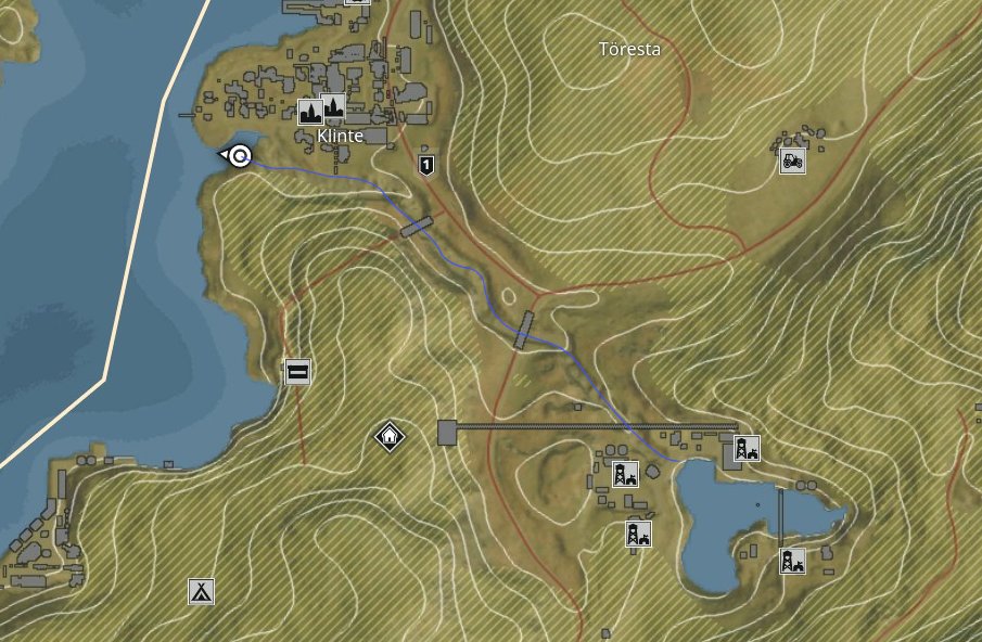
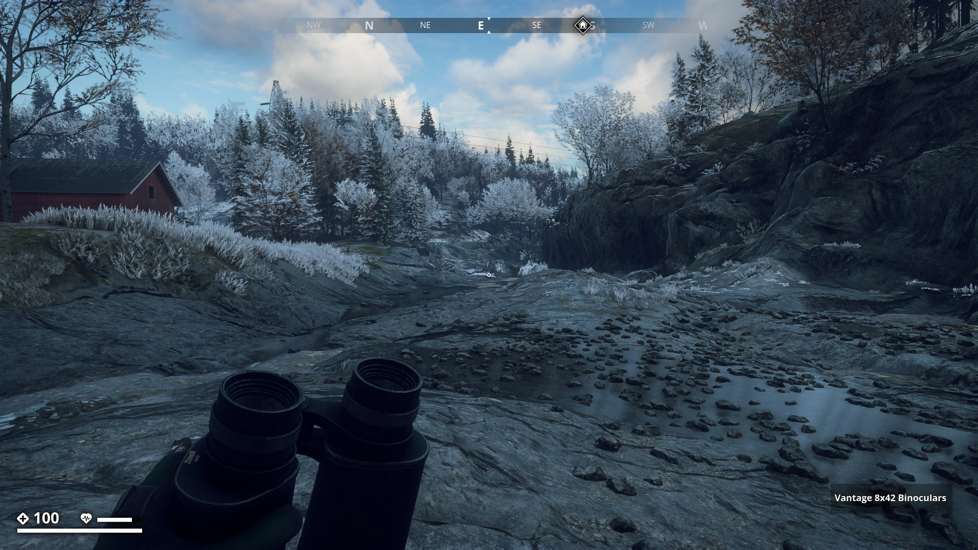
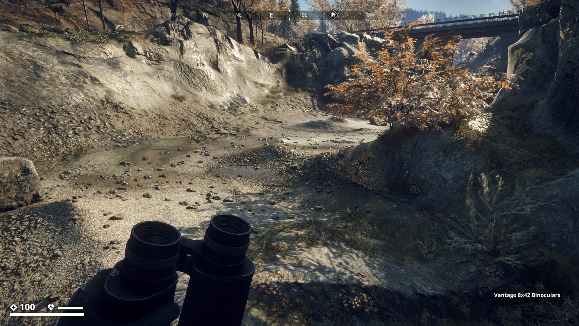
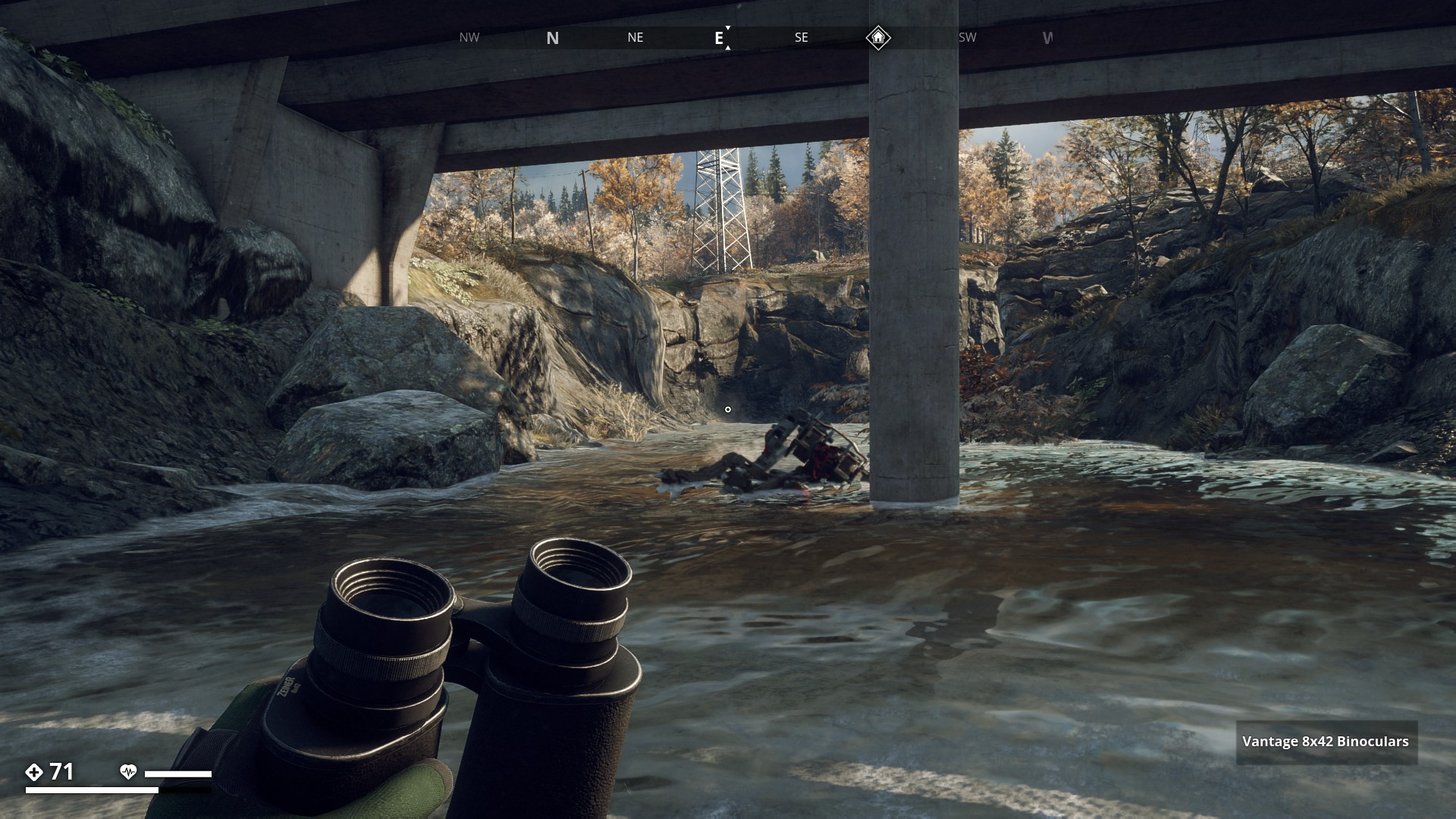
Prototype hunter
![]()
I started the run from the Klinte bay and followed the mostly dried-up riverbed all the way to Muskudden Port Dam. I’ve drawn a blue line on the map to show the route.
▼

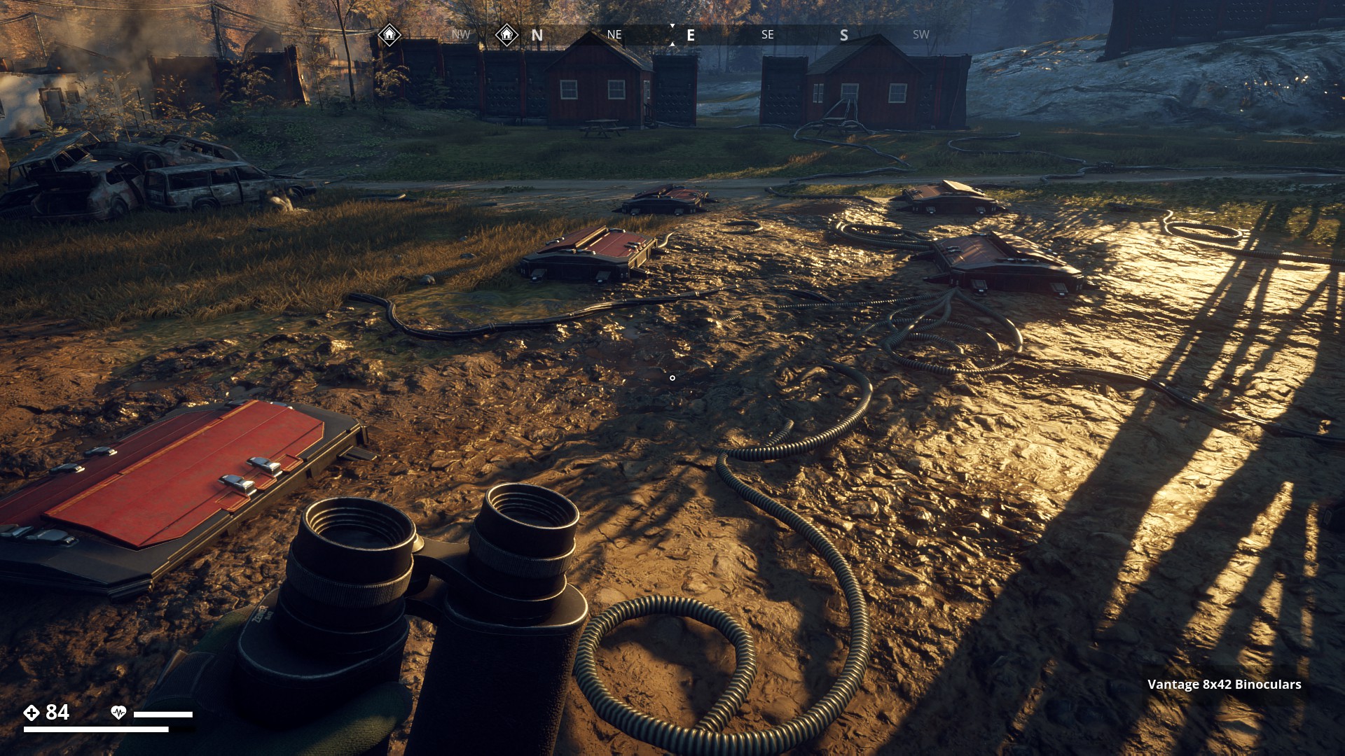
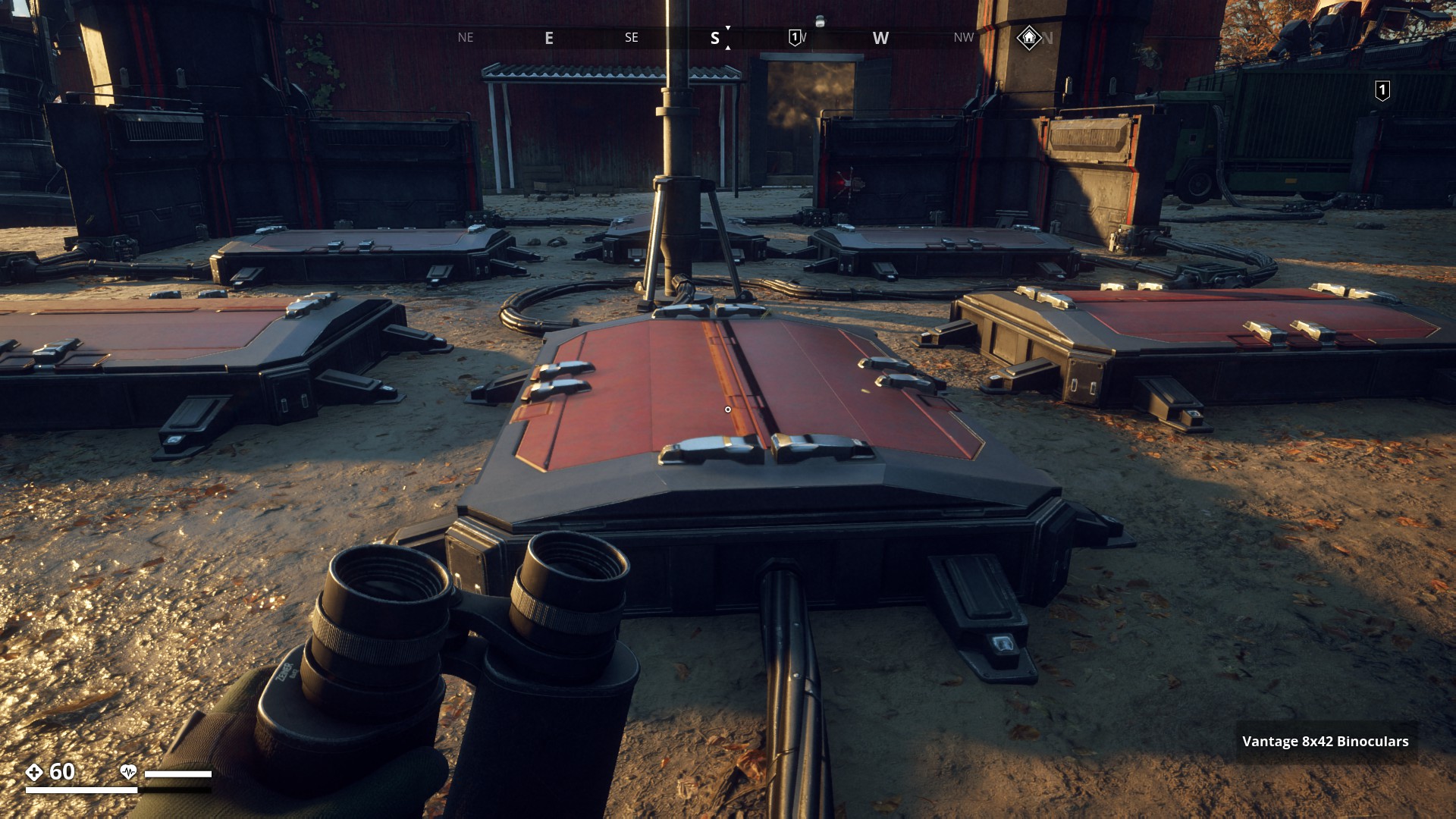
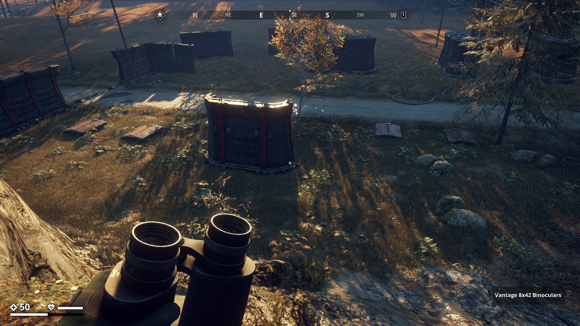
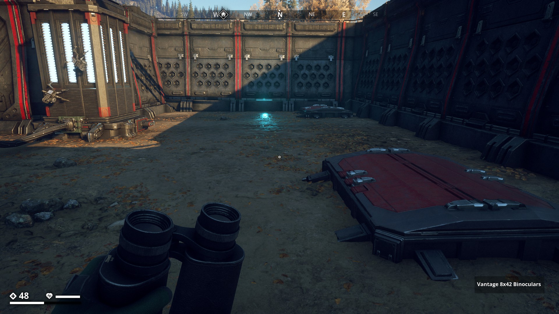
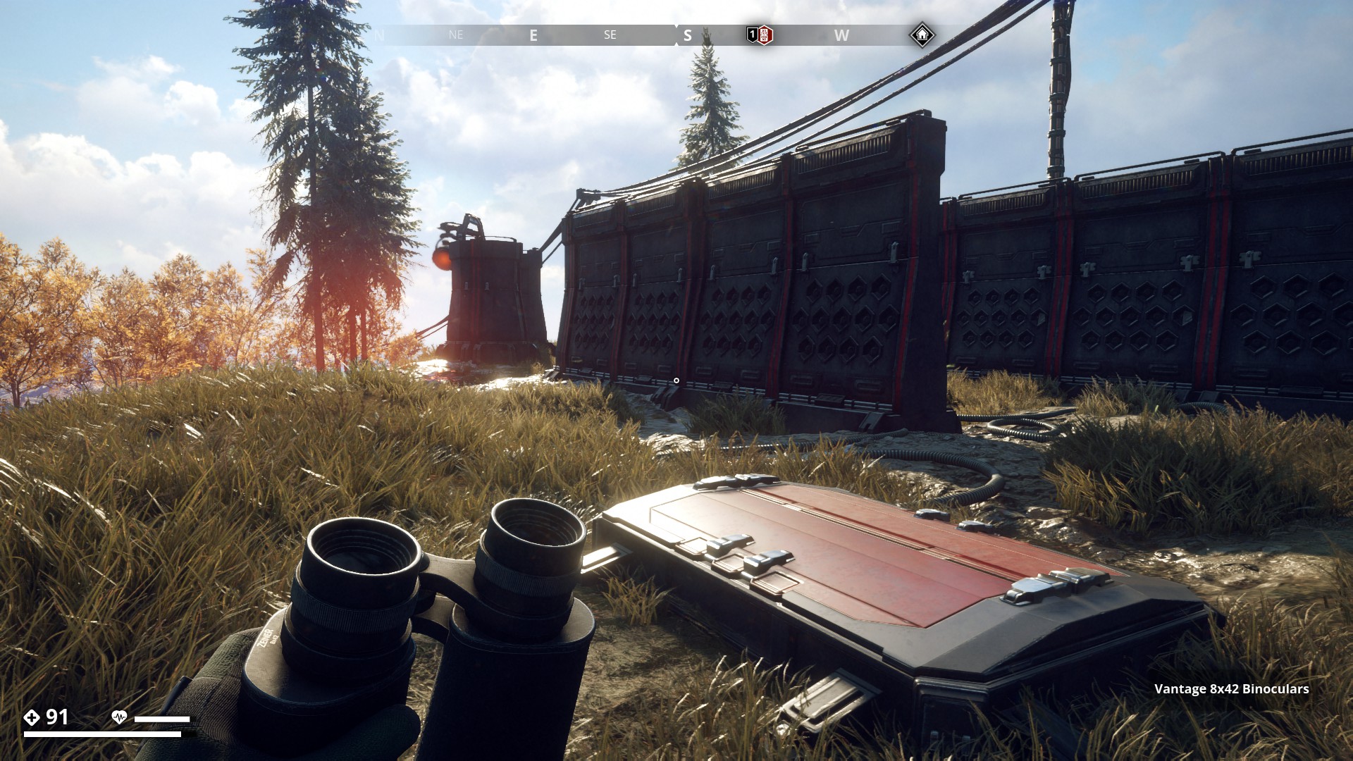
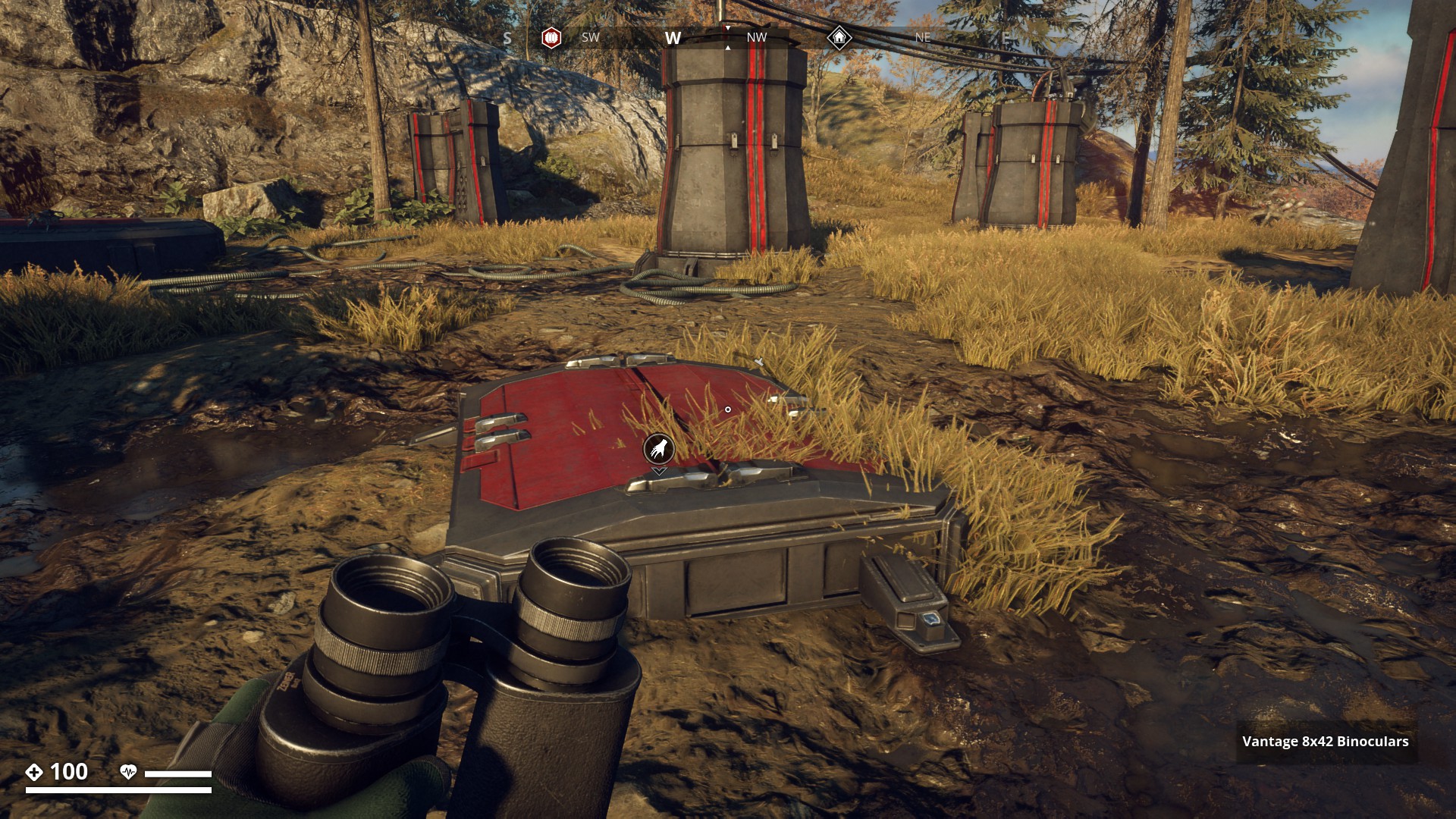
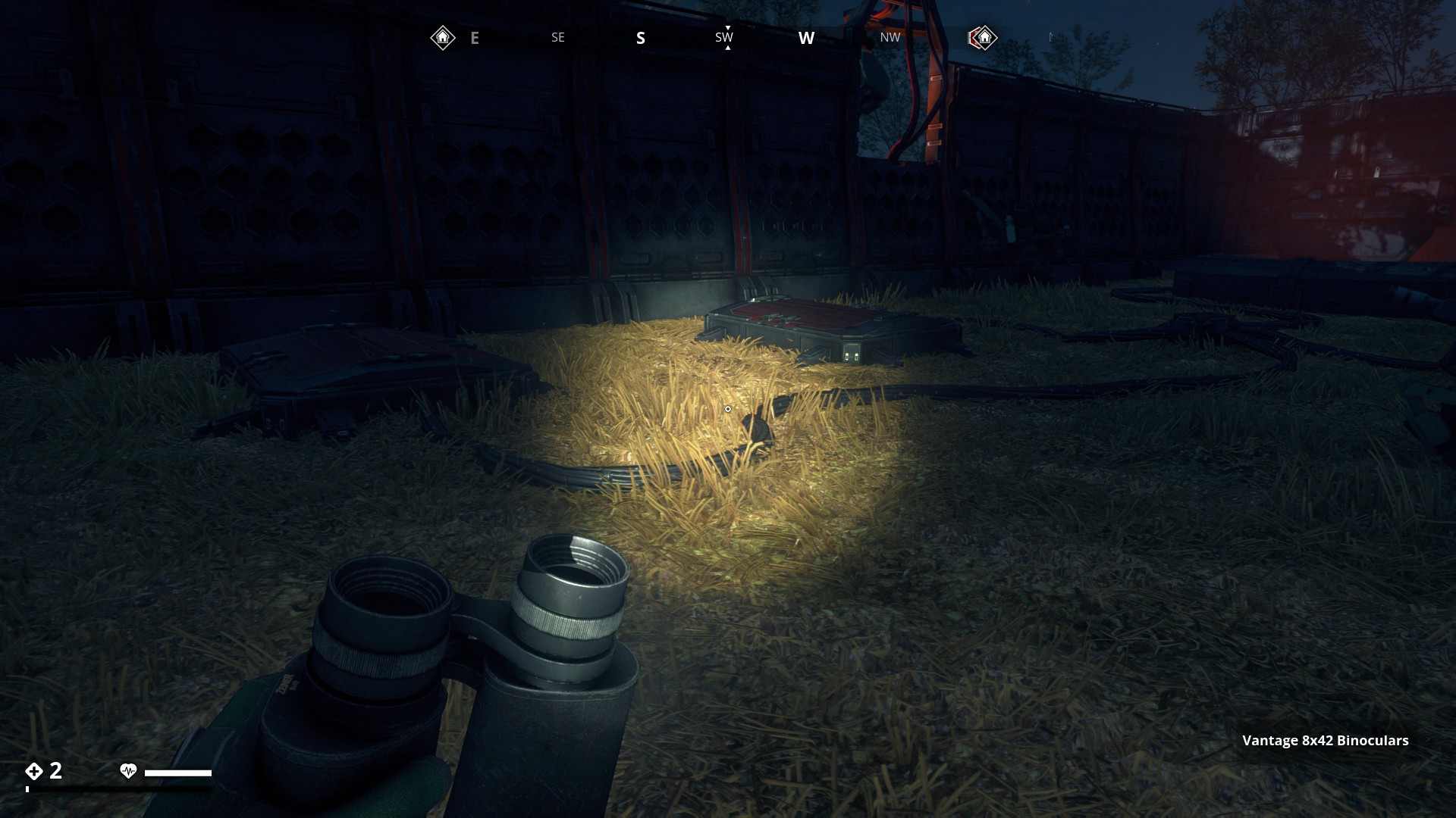
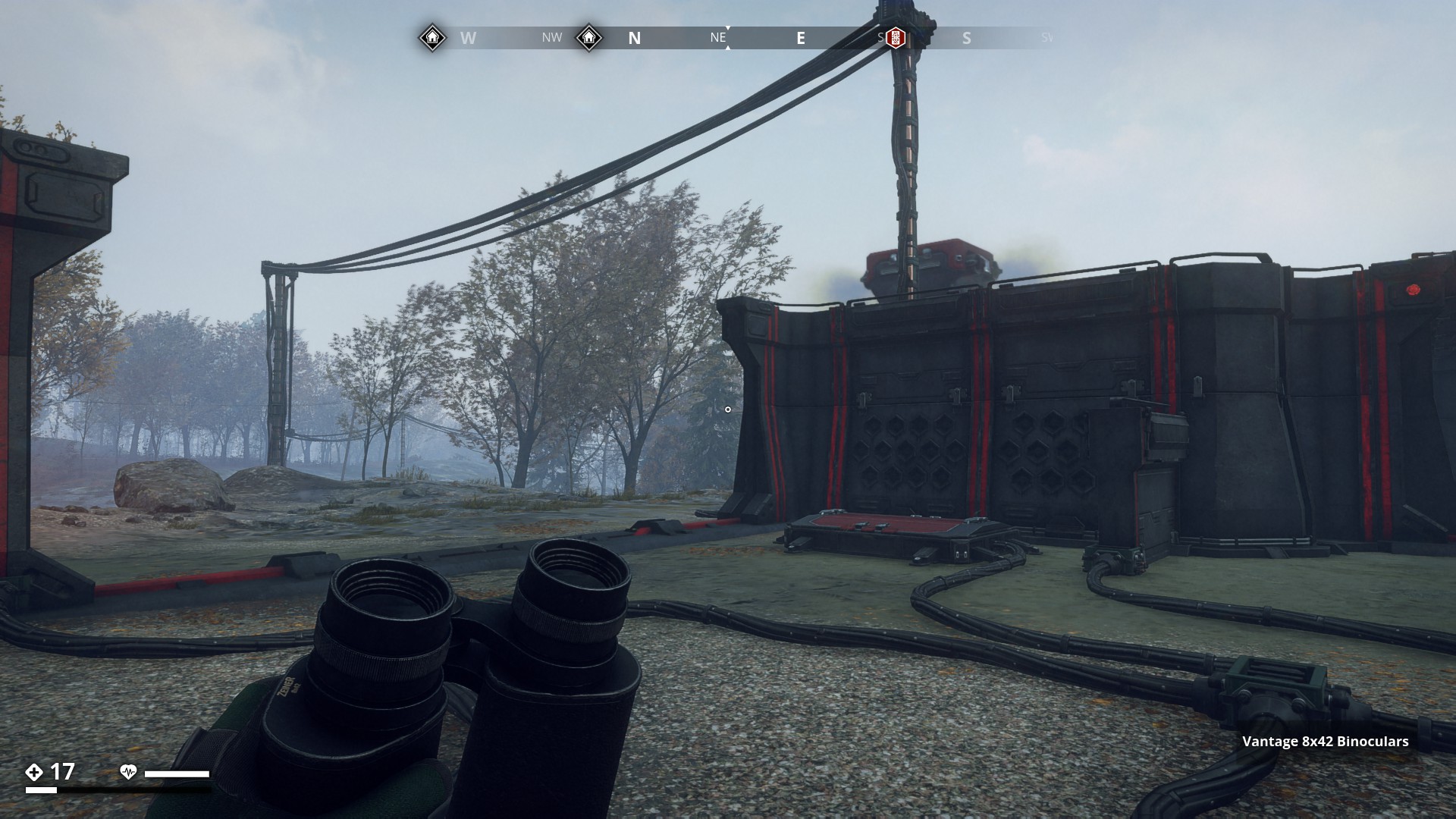
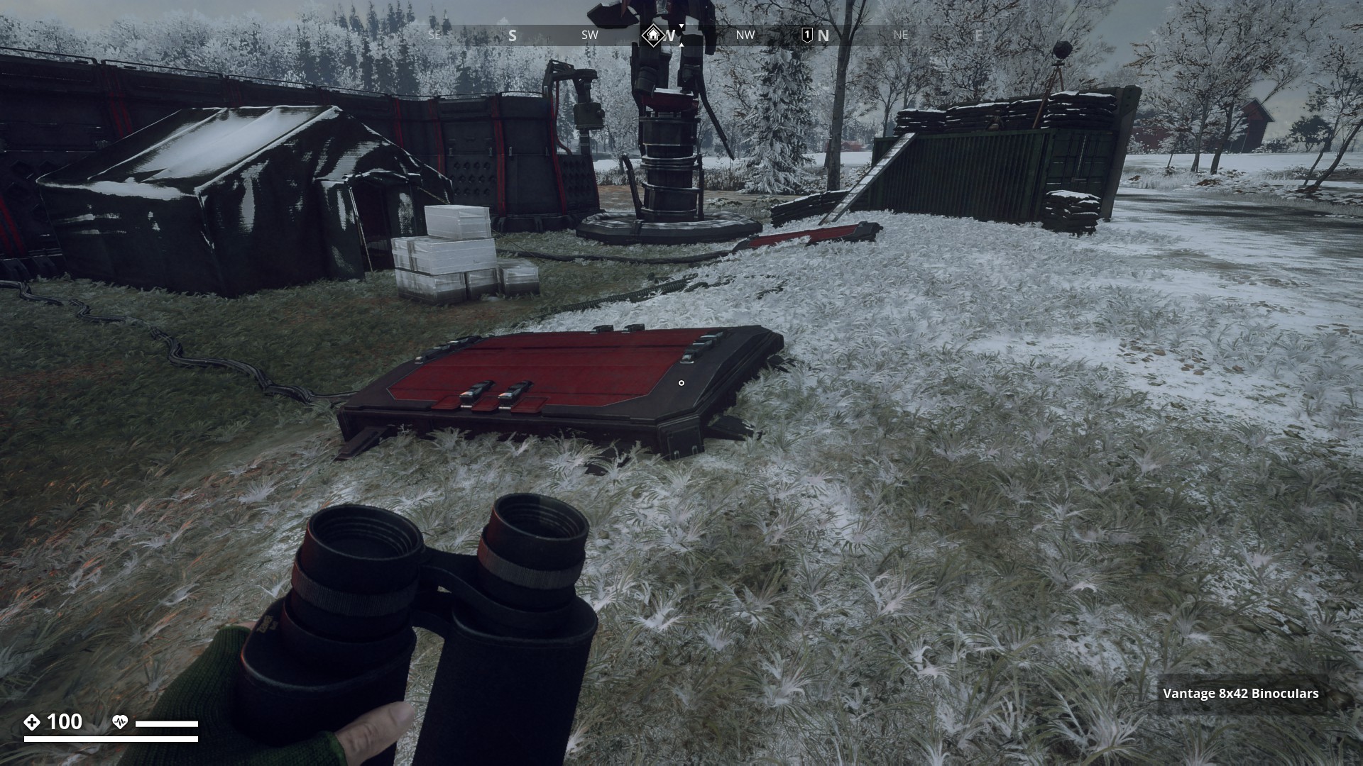
Red Harvester Dumping Stations
![]()
This route is covering 22 Harvester Dumping Stations locations (aka, Dumping Vaults, Underground Storages, or Red Hatches), where Harvesters go to dump their loot harvest. The vaults can contain all kinds of loot from weapon attachments, to apparel items to help you complete the GZ clothing sets. Dumping stations were also part of the Scout challenges, where you had to loot 30 dumping Stations.
Let’s go, and find some!
![]()
Brevikins Camping has 15 dumping stations. I believe we got our first introduction to these red hatches, in the FNIX Rising side-mission “The Hatches”, where we needed to loot three dumping stations at this camping.
▼
Fnix Central Nervous System ♯10011 has 14 dumping stations, but they are no longer accessible after you release the gas and blow the site to kingdom come to finish mission “Good night”. (pic Aesyle)
▼
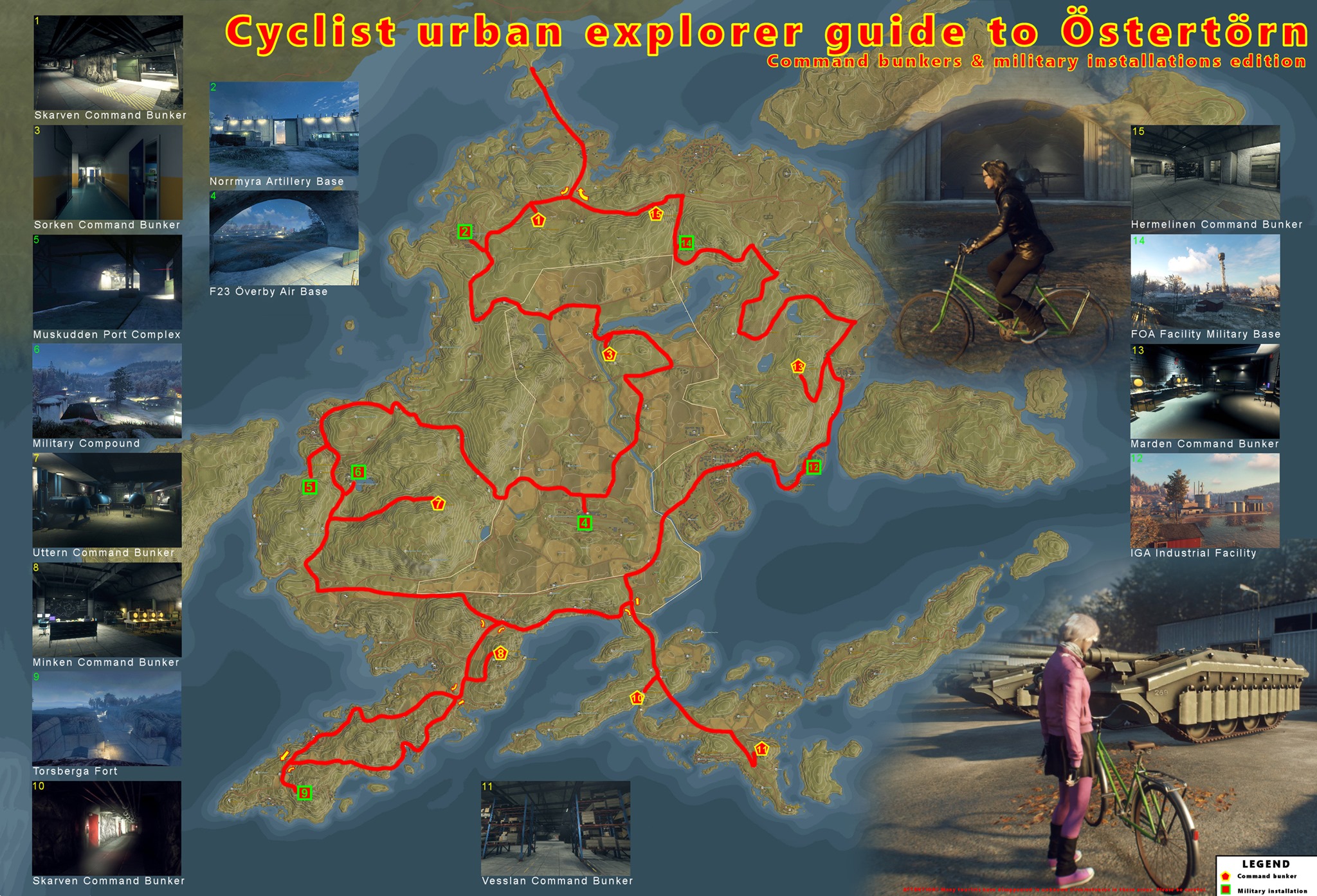
This beautiful and long route is best done by the bike and it takes you to all of the Command Bunkers and some military installations as well.
Map credits: @0L0
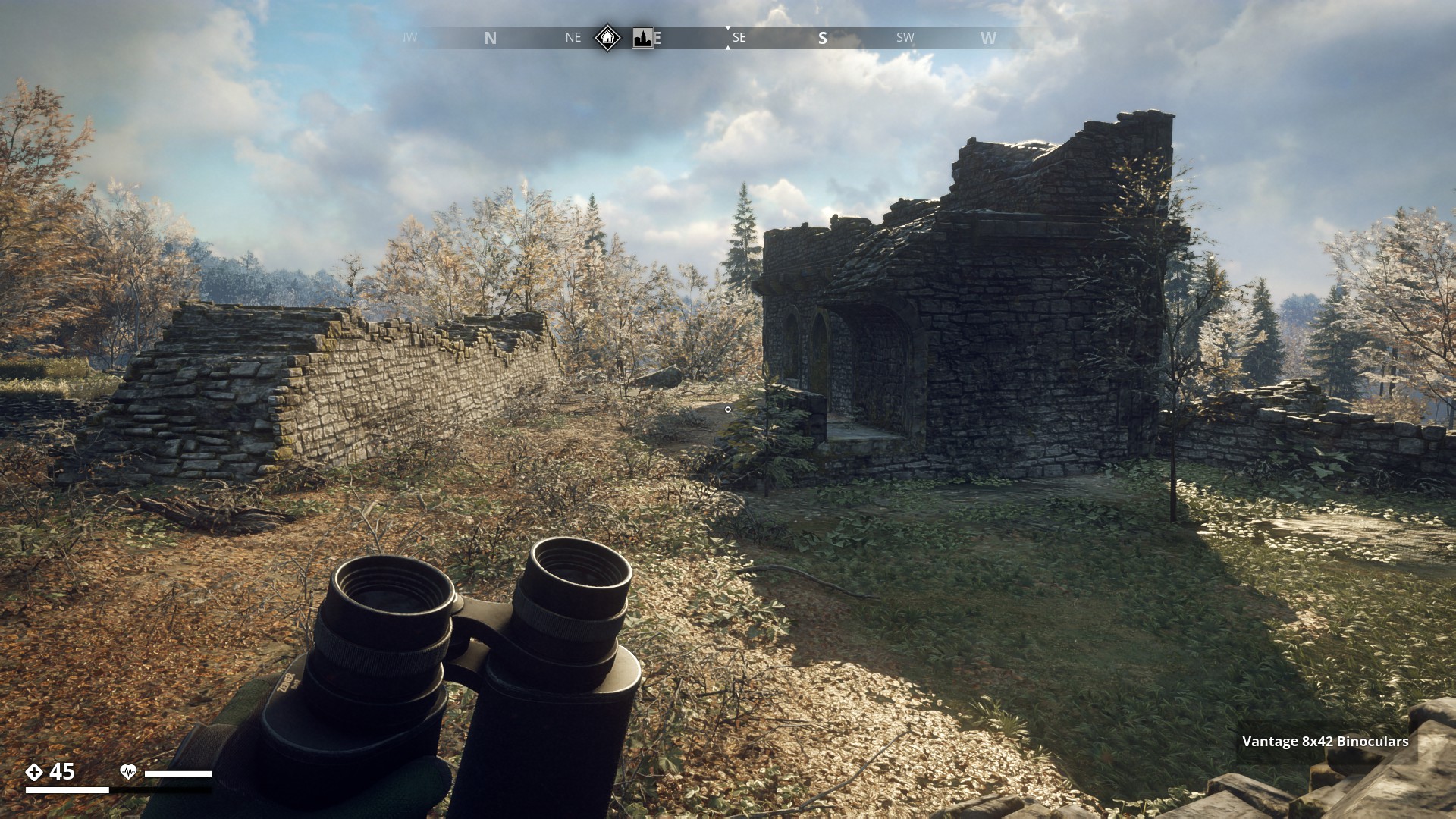
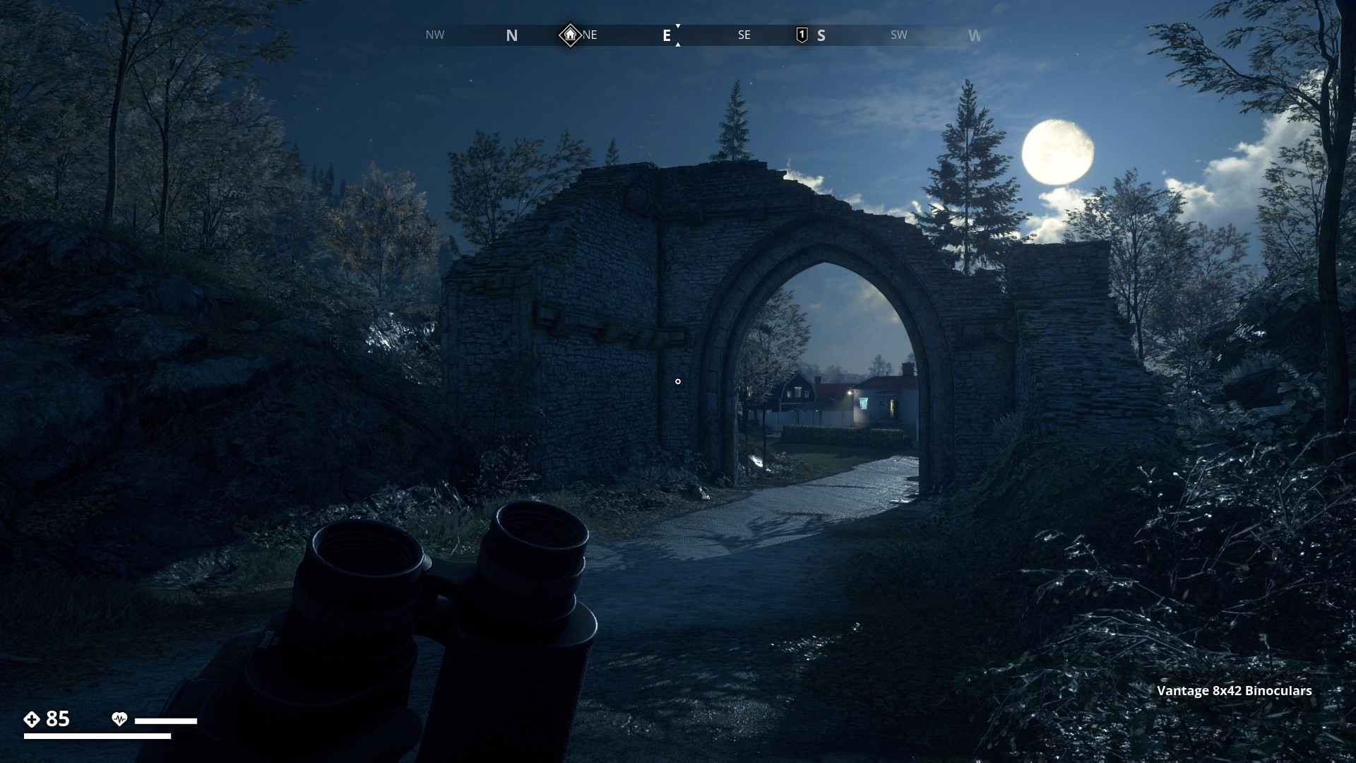
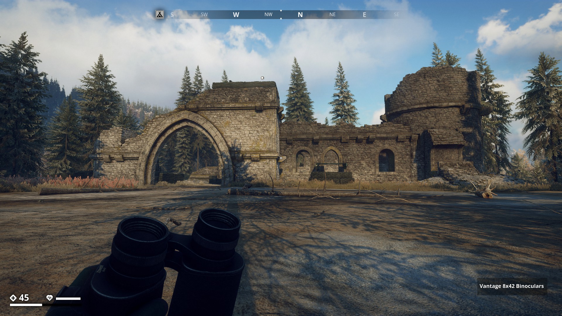
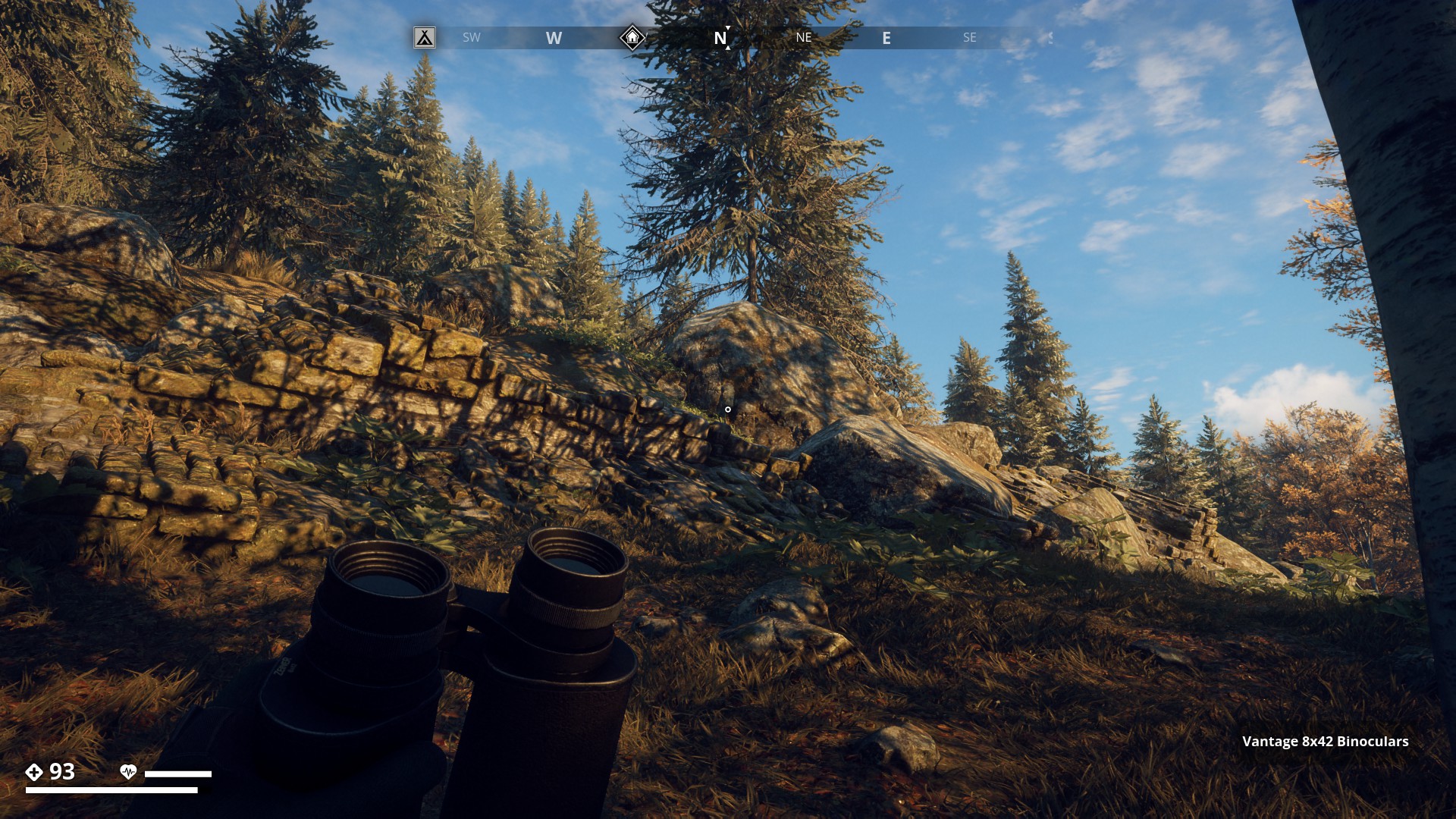
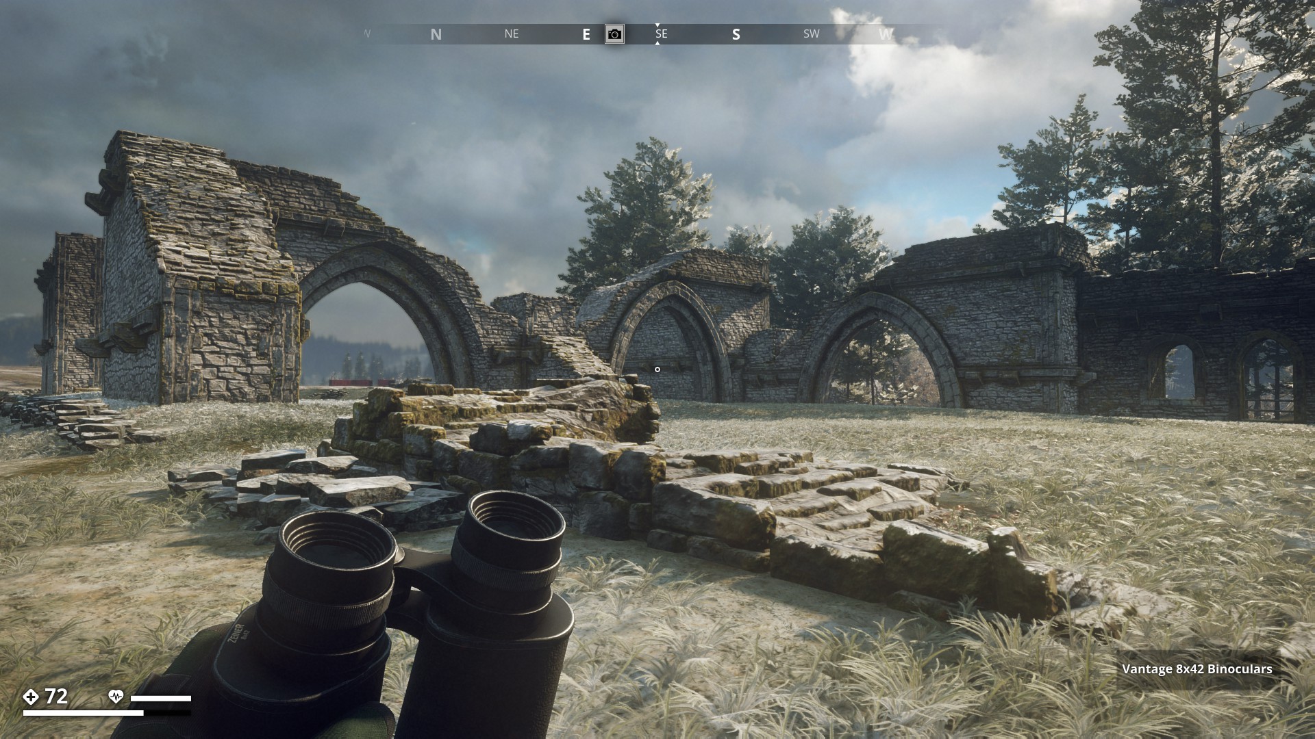
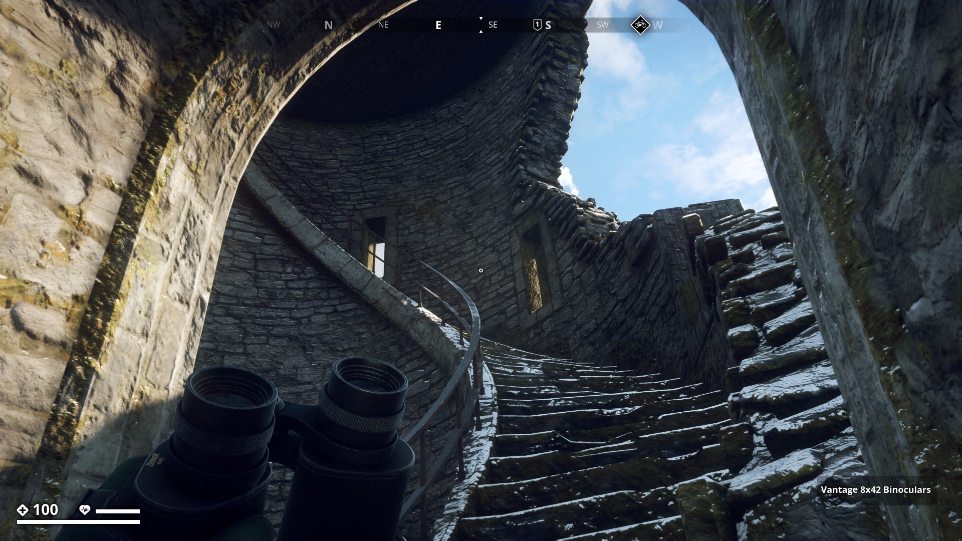
Östertörn Ruins
![]()
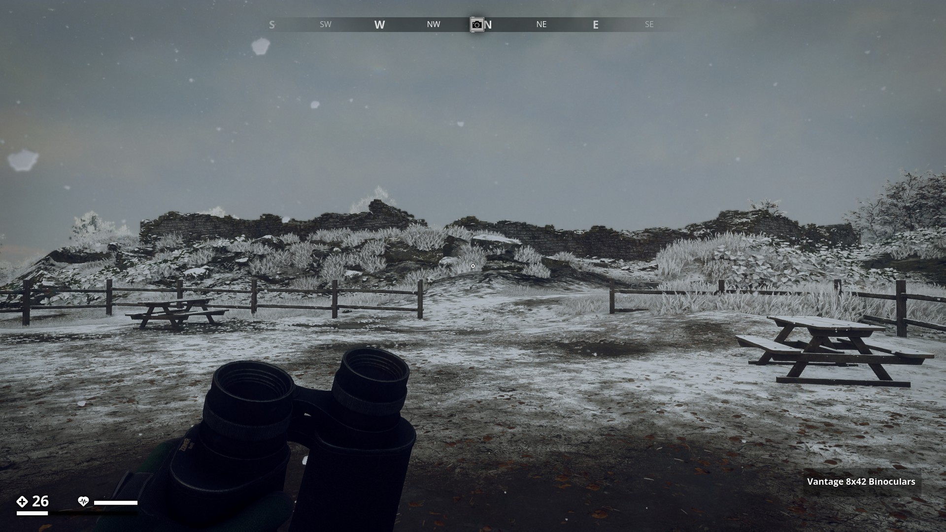
On my runs through the GZ gameworld I past many ruins. There were many locations that only showed parts of ruins walls or just foundations, too many to all place here. So I show you the most prominent ruins.
![]()
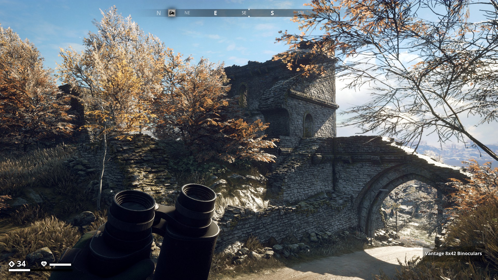
Archipelago.
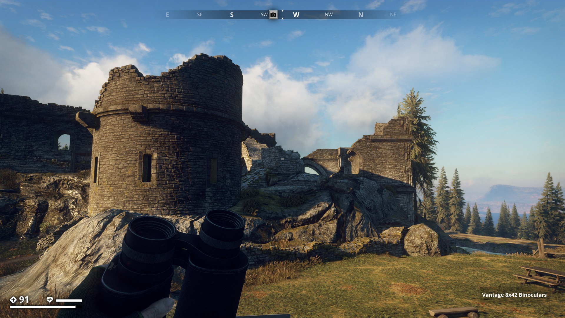
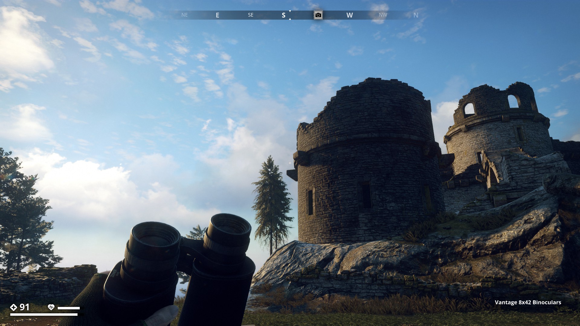
Iboholmen Castle Ruins. (1)
▼
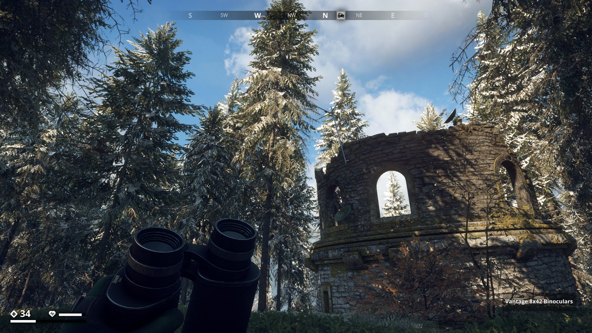
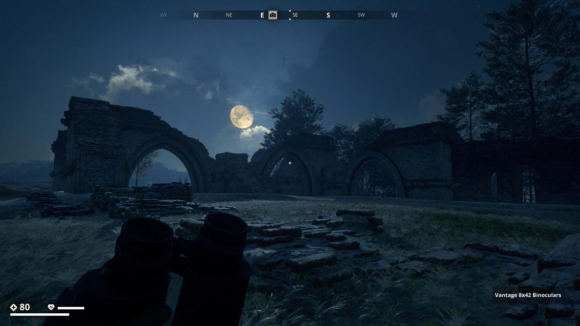
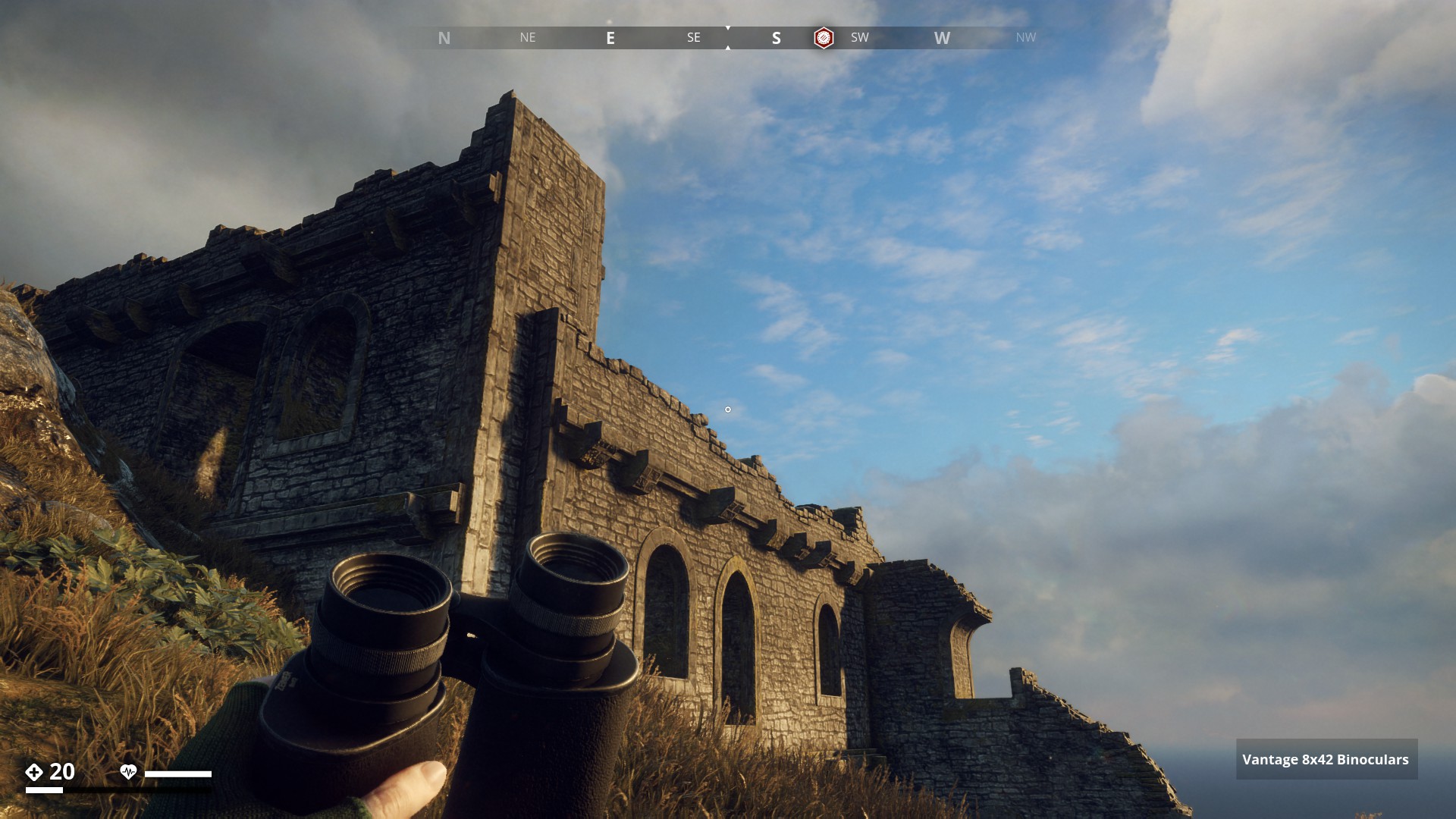
Mountain Region.
Ruin Tower with the radio dishes.
▼
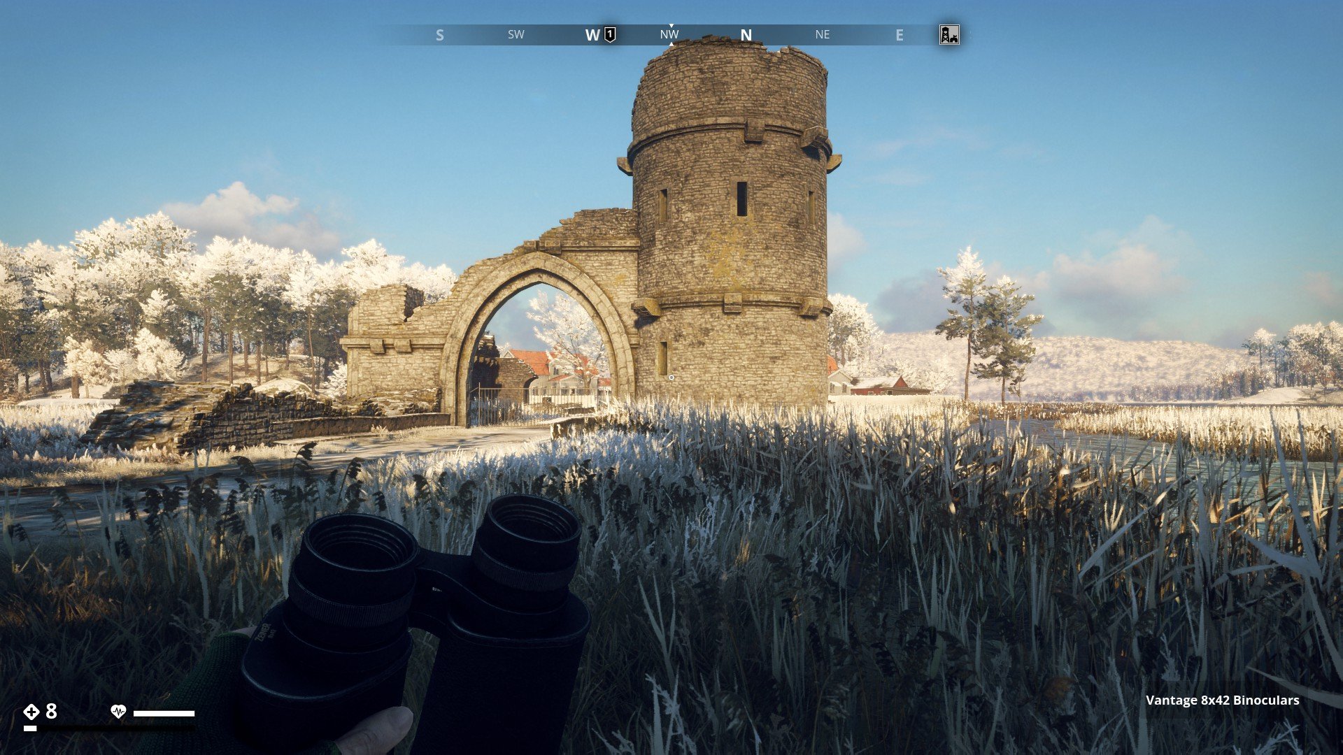
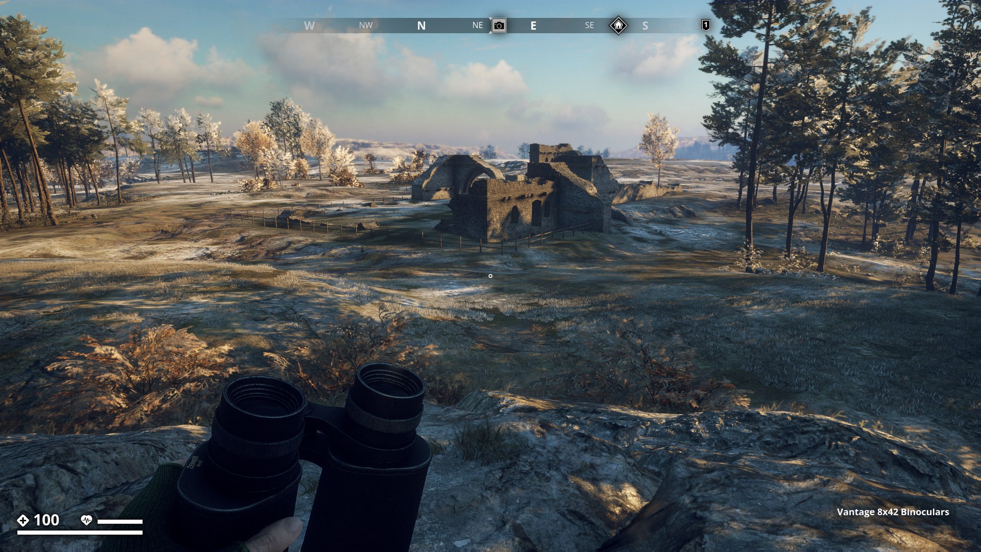
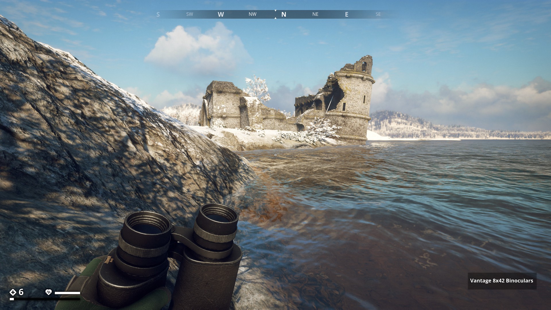
Ruins on Himfjäll Island
Himfjäll.
Castle Ruin close to Österhällan Marine Center - Far view. (1)
▼