Oh Yes @Gysbert, this would be a nice idea. Pherhaps there is hidden something special 
1 Like

Of course, but when I looked  it was no longer there.
1 Like
It disappears once you complete the side mission: “Colonists”.
Alien colonist is
Prototype hunter
1 Like
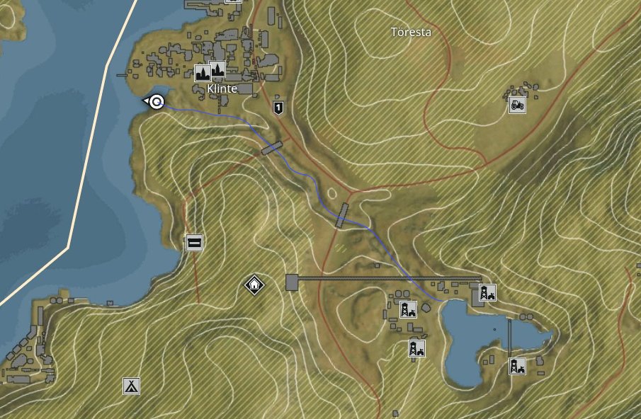
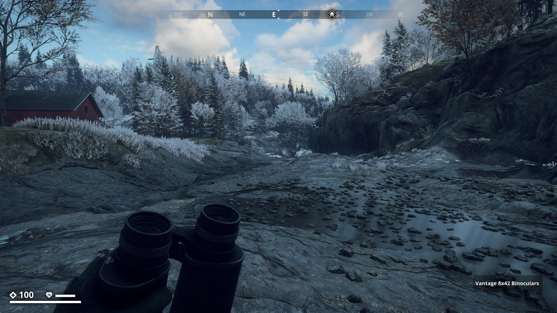
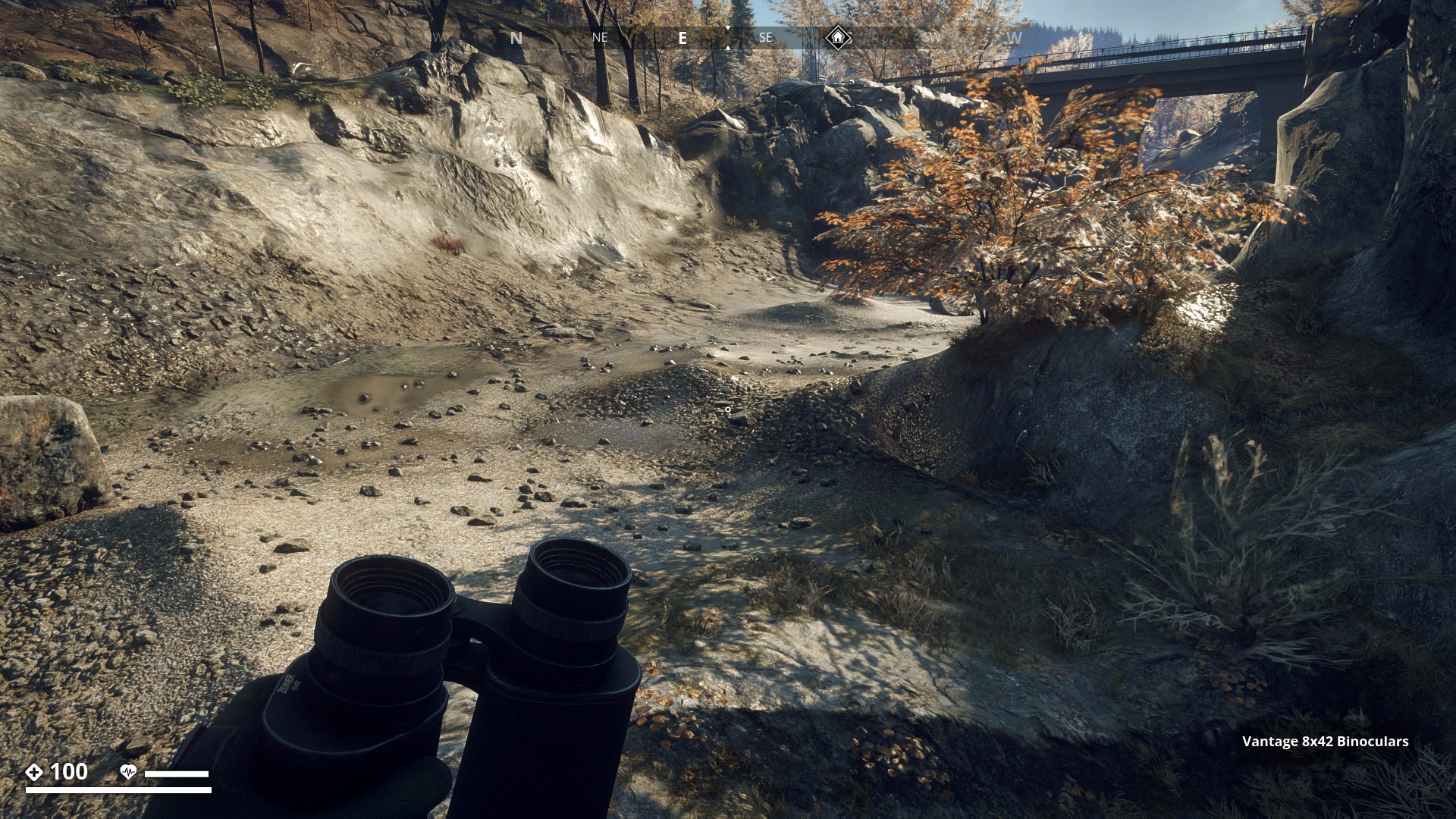
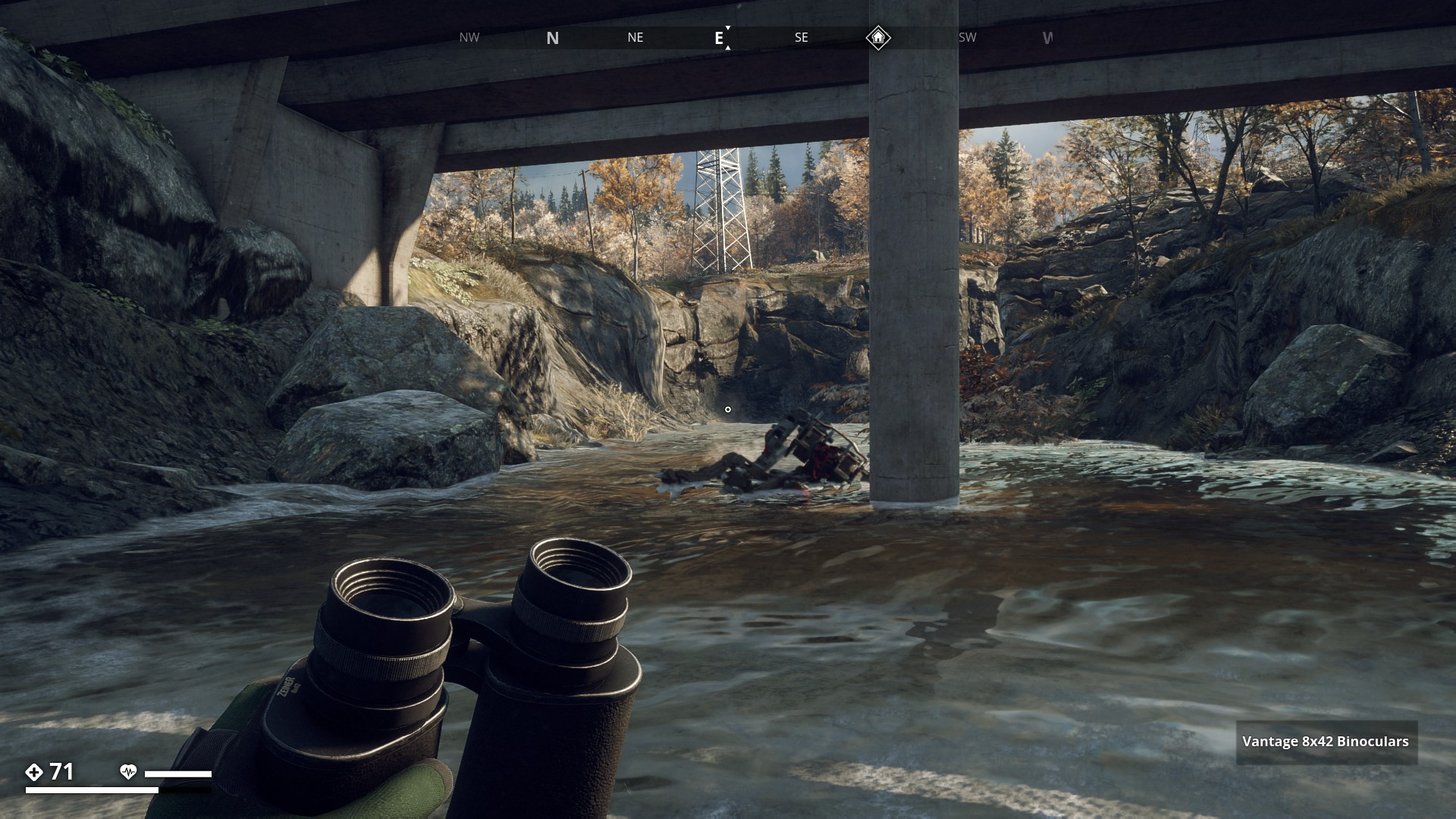
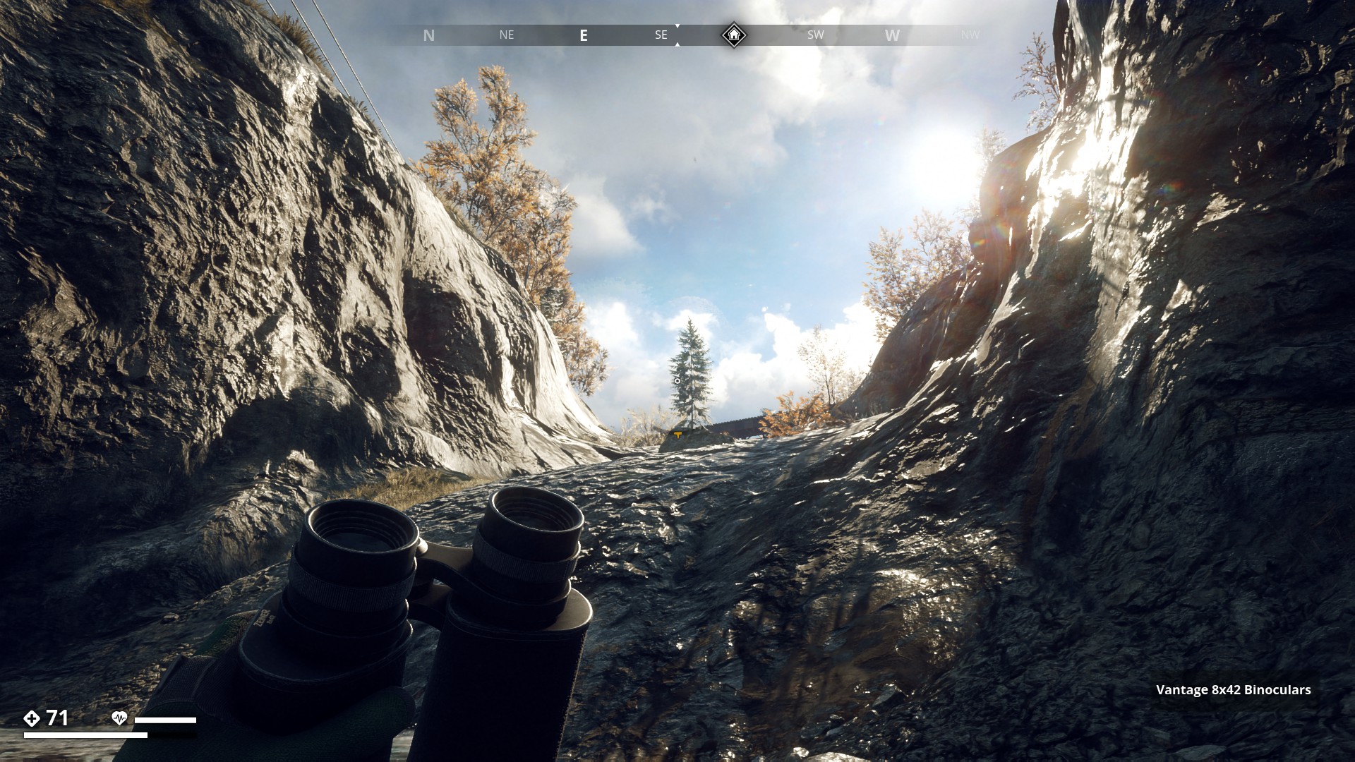
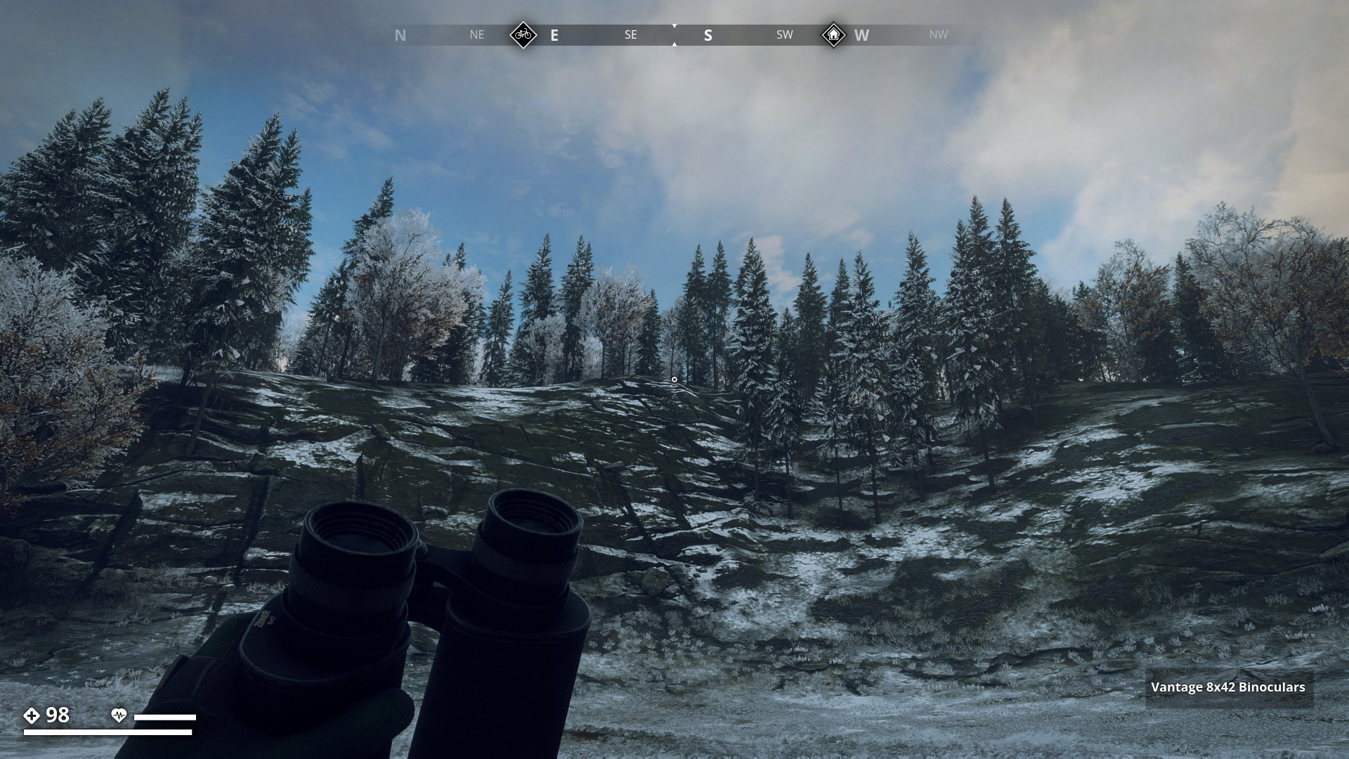
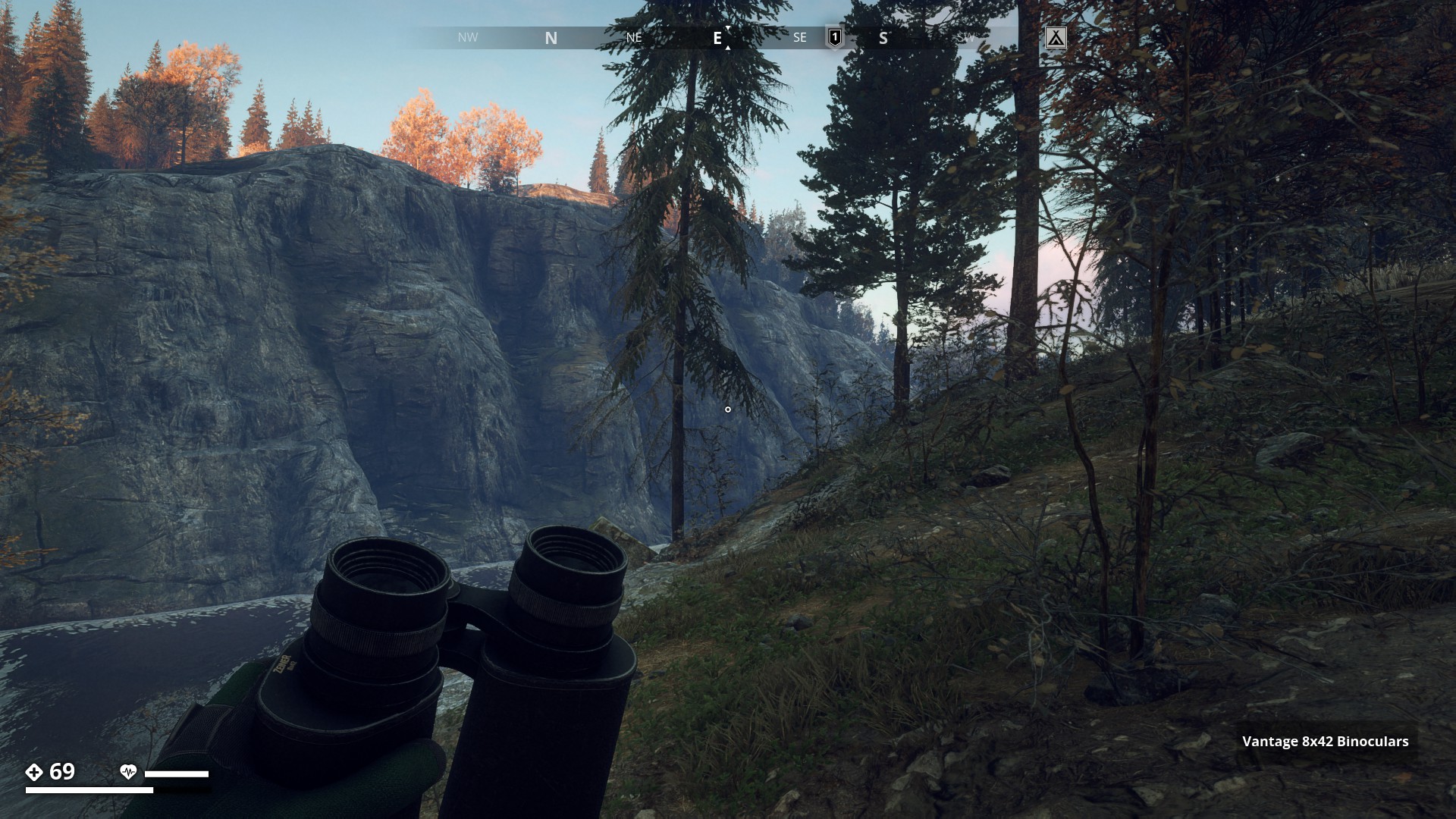
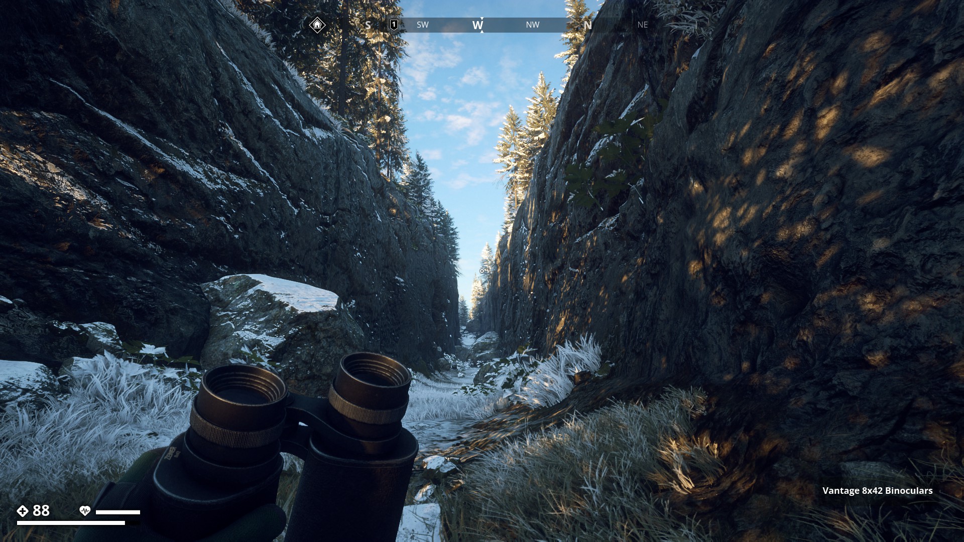
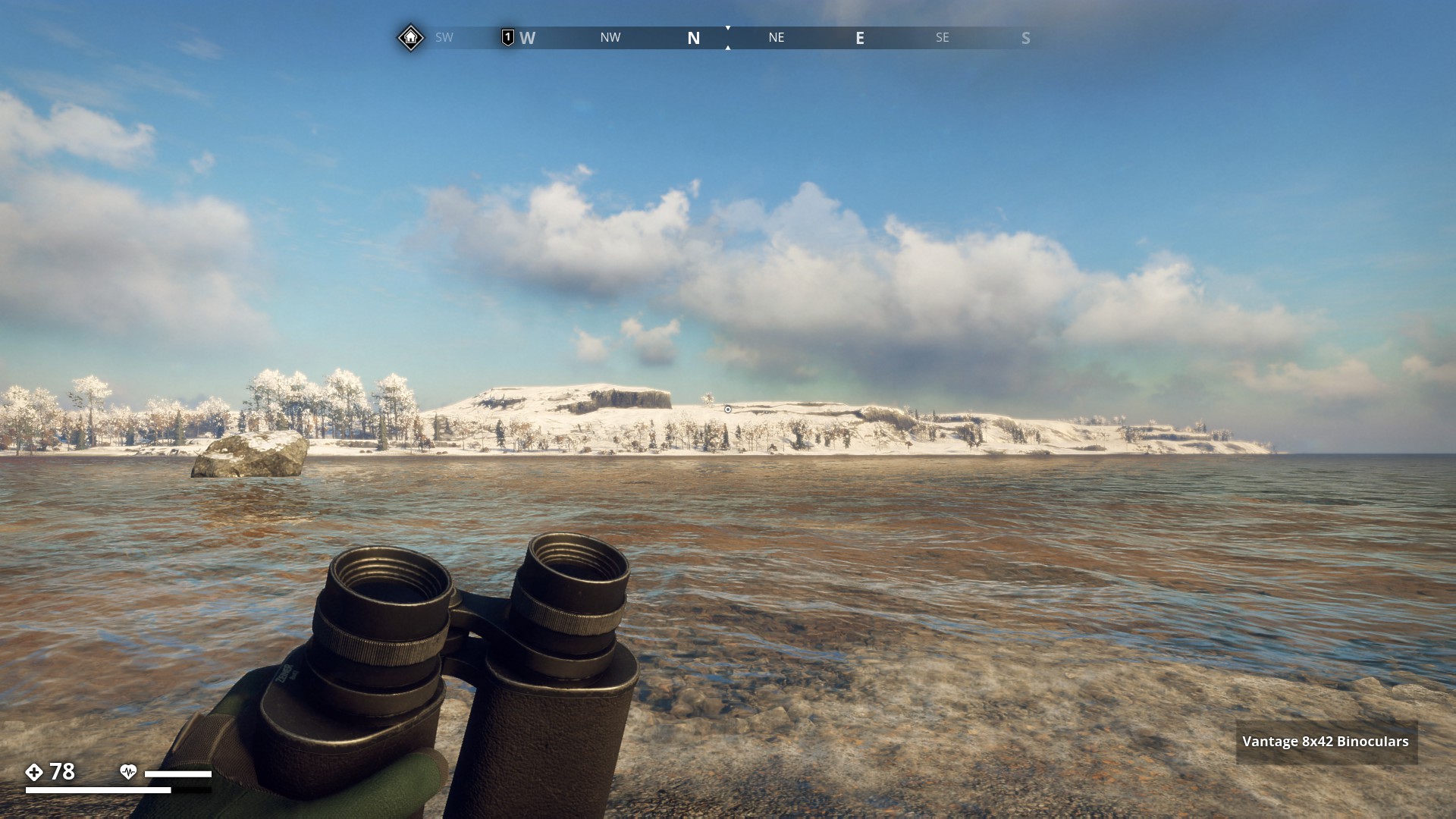
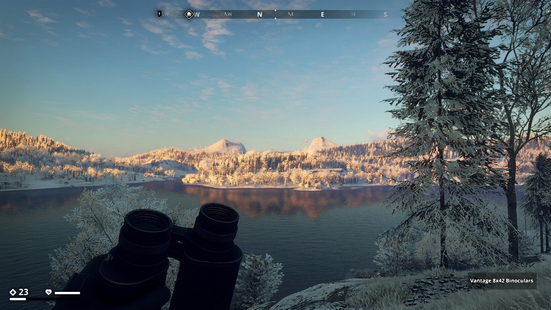
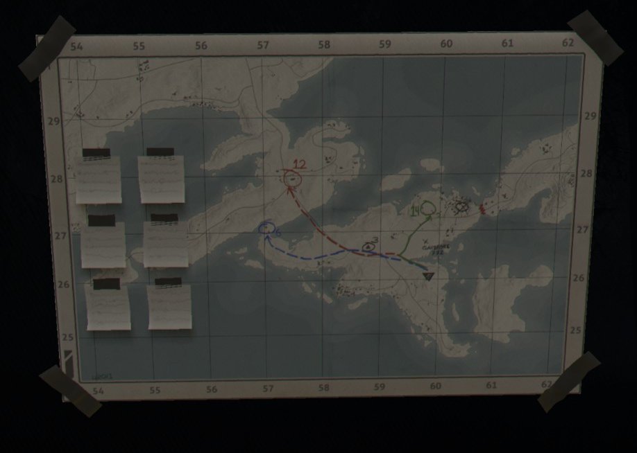
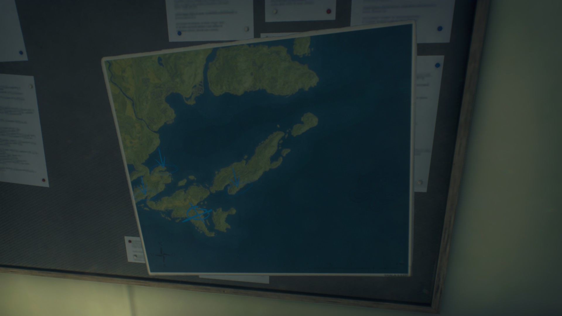
Route 12: Dry Riverbed Route - Click here
![]()
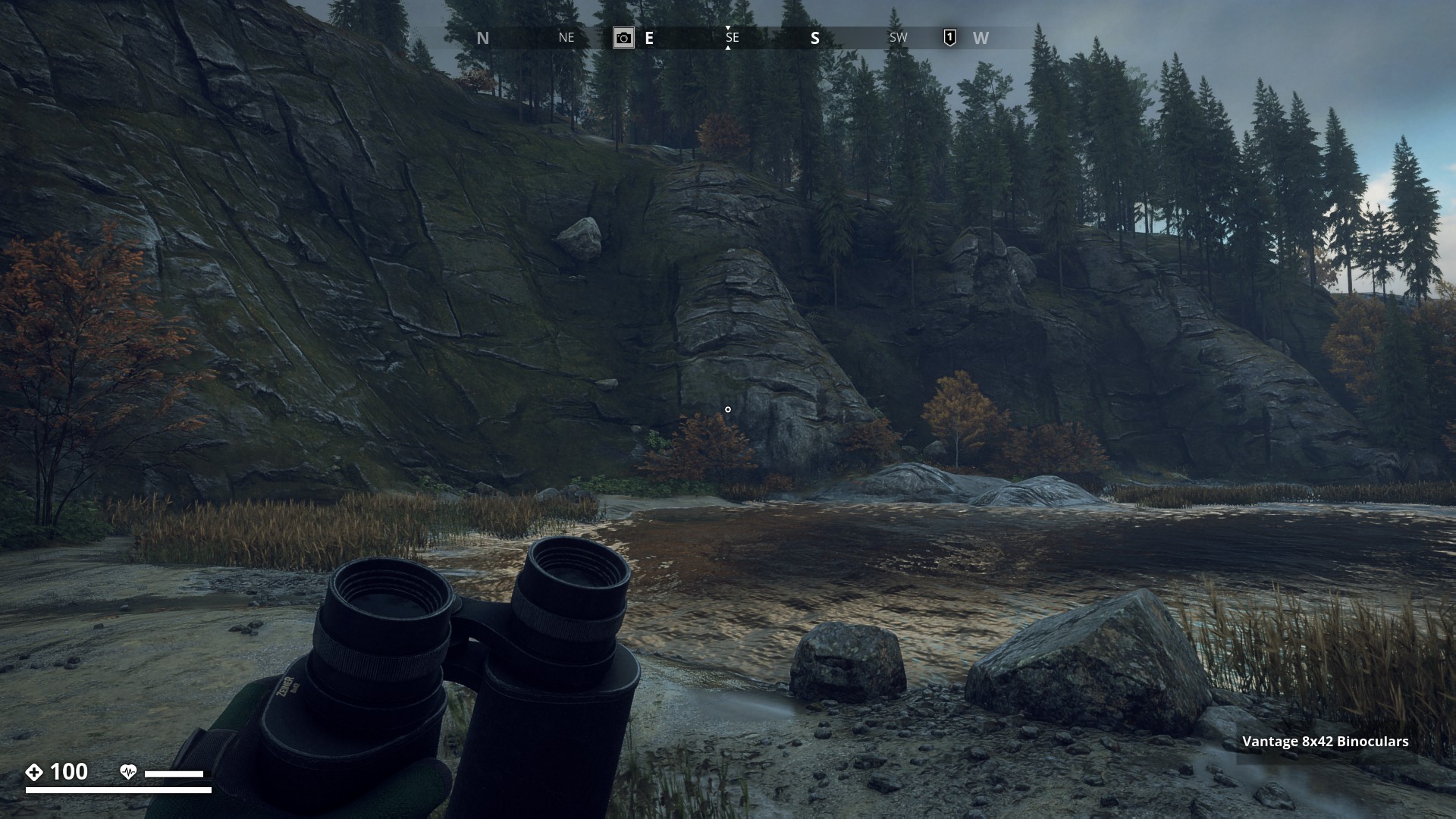
I started the run from the Klinte bay and followed the mostly dried-up riverbed all the way to Muskudden Port Dam. I’ve drawn a blue line on the map to show the route.
▼
I would love it irl to really walk over a dry and stoney riverbed.
▼
On the edge of Klinte as I am on the bend some 50 yards before the first Bridge, the sun breaks through. Great, that will liven up the photo’s.
▼
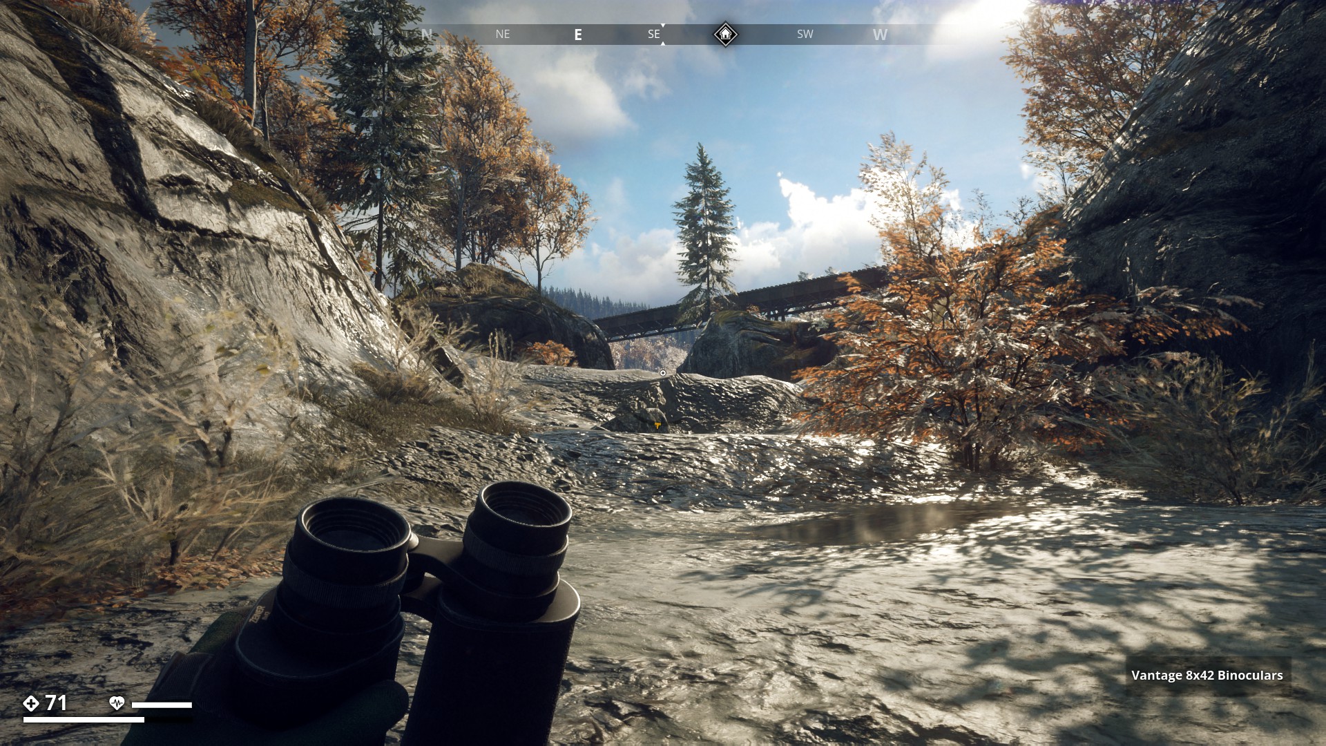
I past the first Bridge. Although there are still patches of water to be found, this part is pretty dry.
▼

At the second bridge there’s water but it’s not very deep. You see the runner under the bridge? He attacked me in the water. Well he tried…
▼
A lot of water here, but still only knee-deep at the deepest spots.
▼

Here the route goes up quite a bit. Hope it’s not too slippery.
▼
In fact the whole gully rises a lot from sea-level to the basin behind the dam.
▼
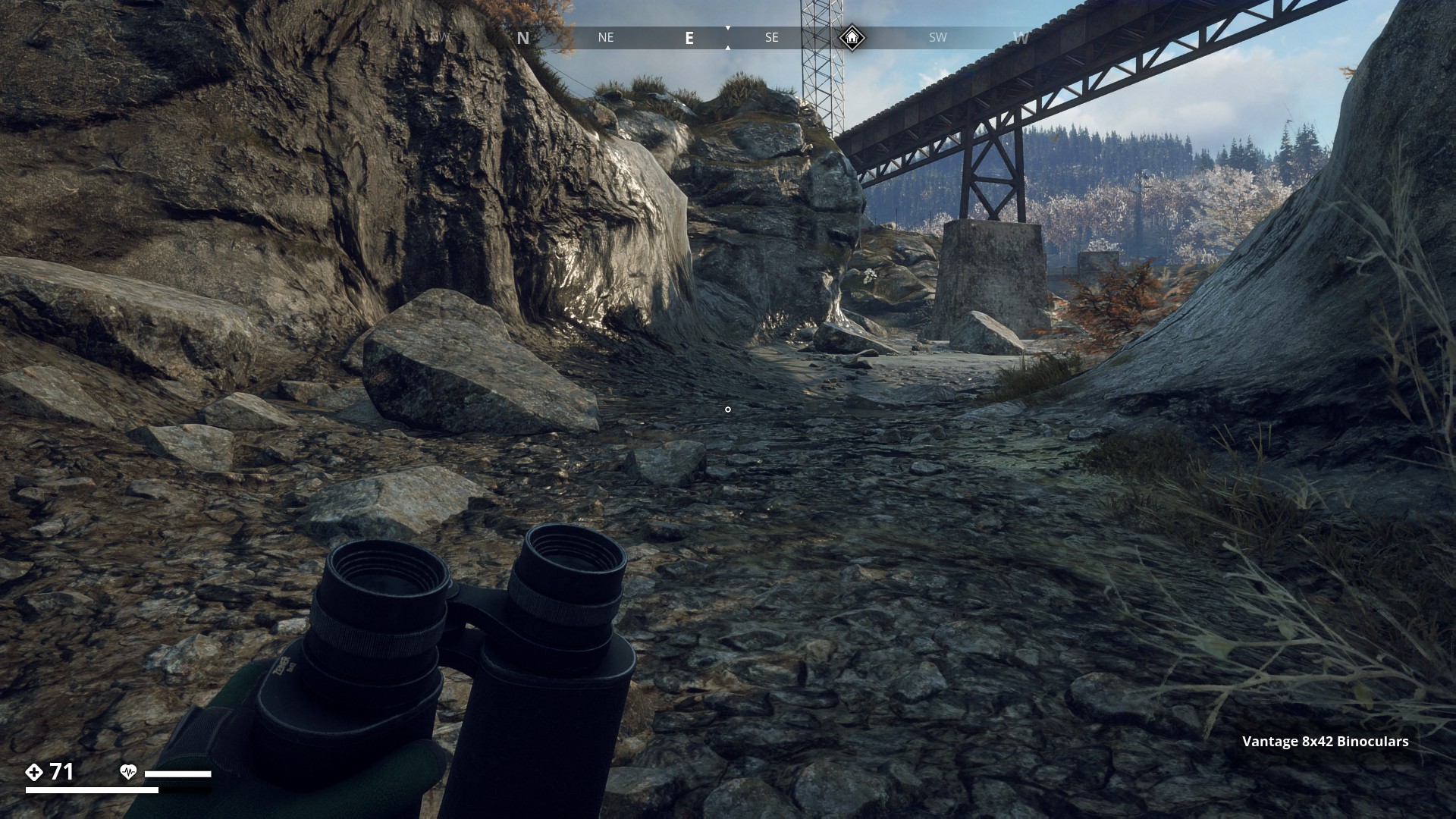
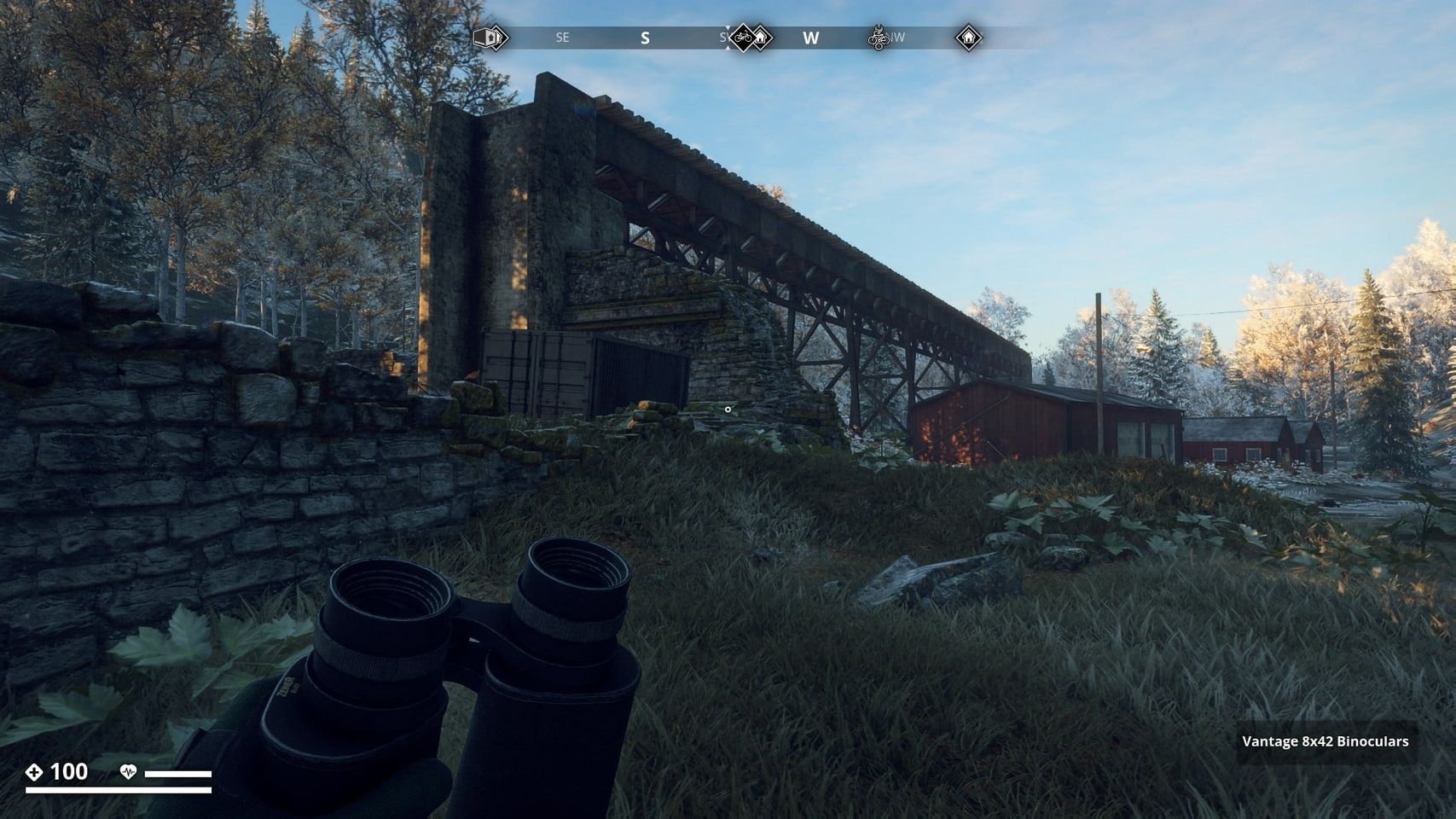
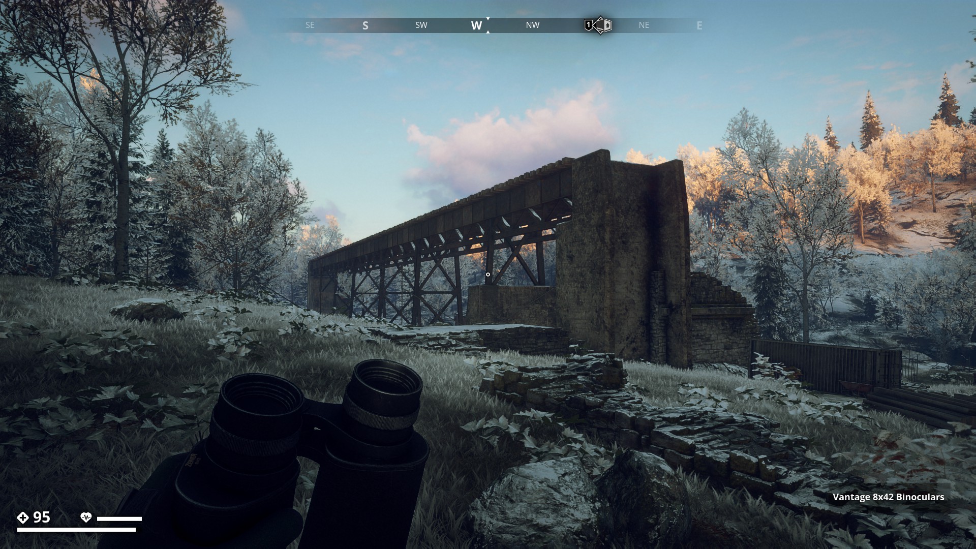
In the background you can see the elevated railway that comes from Muskudden Port and goes towards the Factory entrance. (RÖ Redovisningskansli Öst) to the left.
▼

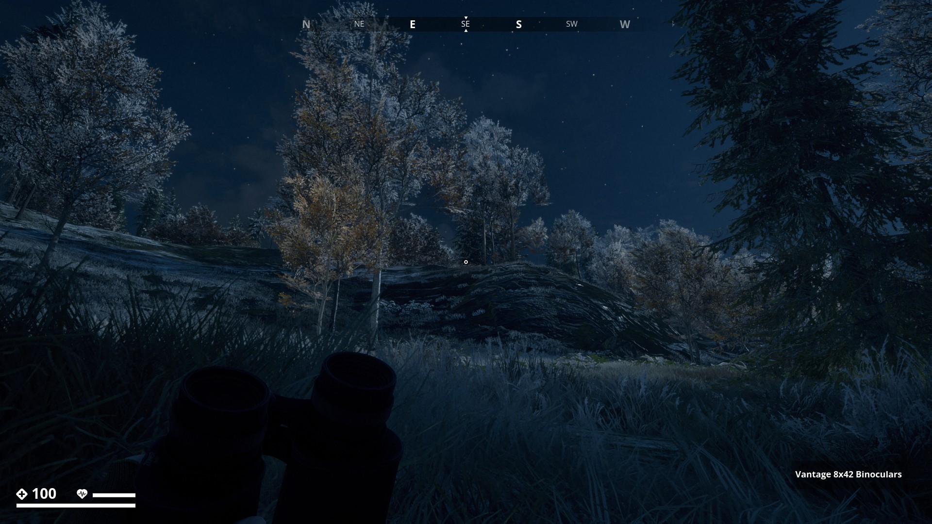
Getting closer to the dam. Again there are runners here somewhere, I can hear them. Let’s not alert them, they will spoil this beautiful run for sure.
▼
Still going up.
▼

From where I am standing, underneath the elevated railway, I can see the Dam up ahead.
▼
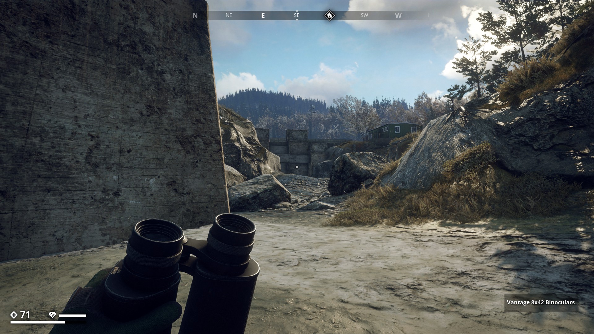
Ok, a bit more water here. Best stick to the sides.
▼

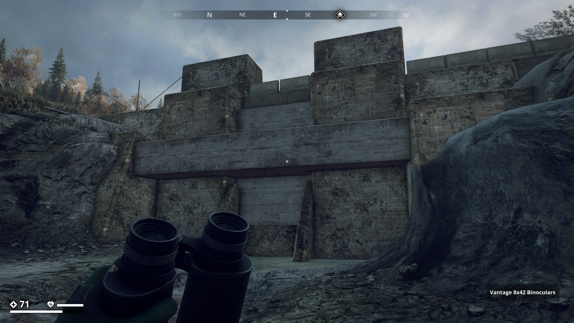
There it is, the Dam. I’ll have to climb up there. But with my 7% jump boost on my shoes and 5% on my pants, that should be no trouble at all.
▼
Made it.

▼
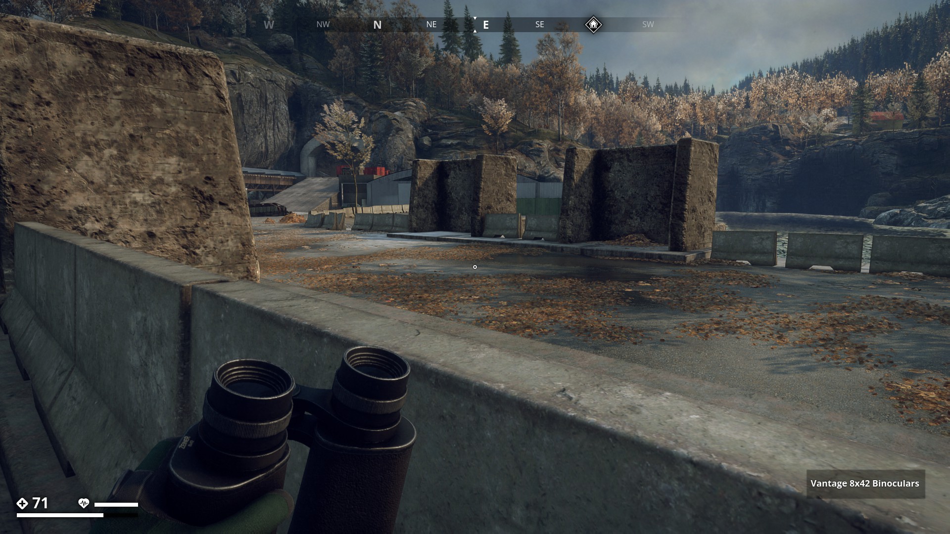
I’m crossing the dam toward the basin, to have a closer look.
▼
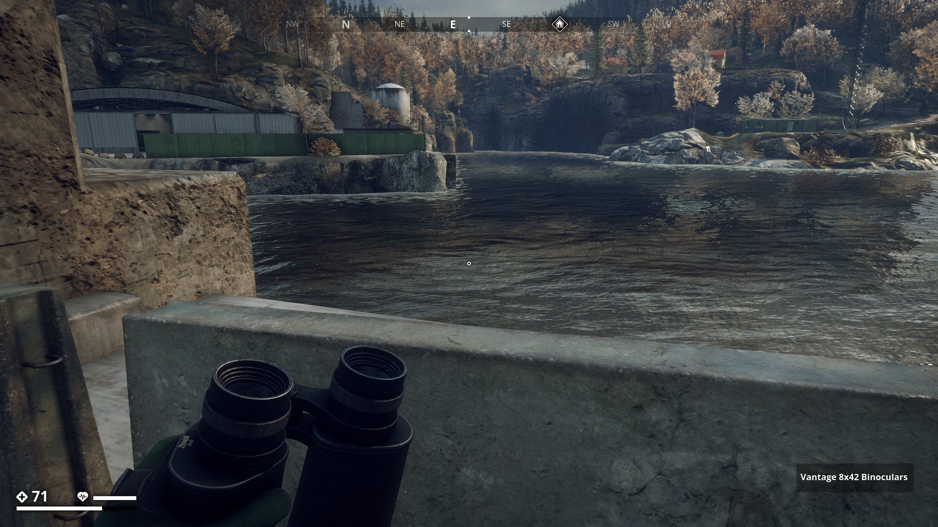
Hmm… I think I can jump down on that ledge. It is under water though. Not sure how much.
▼
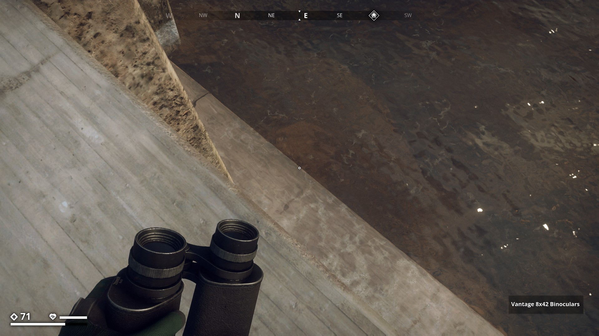
Oops, I can just stand here without going under, but there’s no way back up. Well, there is … fast travel or drowning! Anyways, It was a nice scenic route.
▼

9 Likes
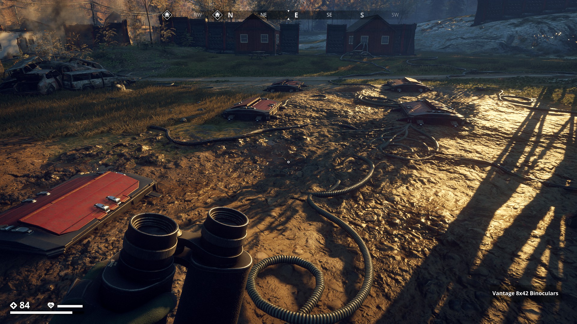
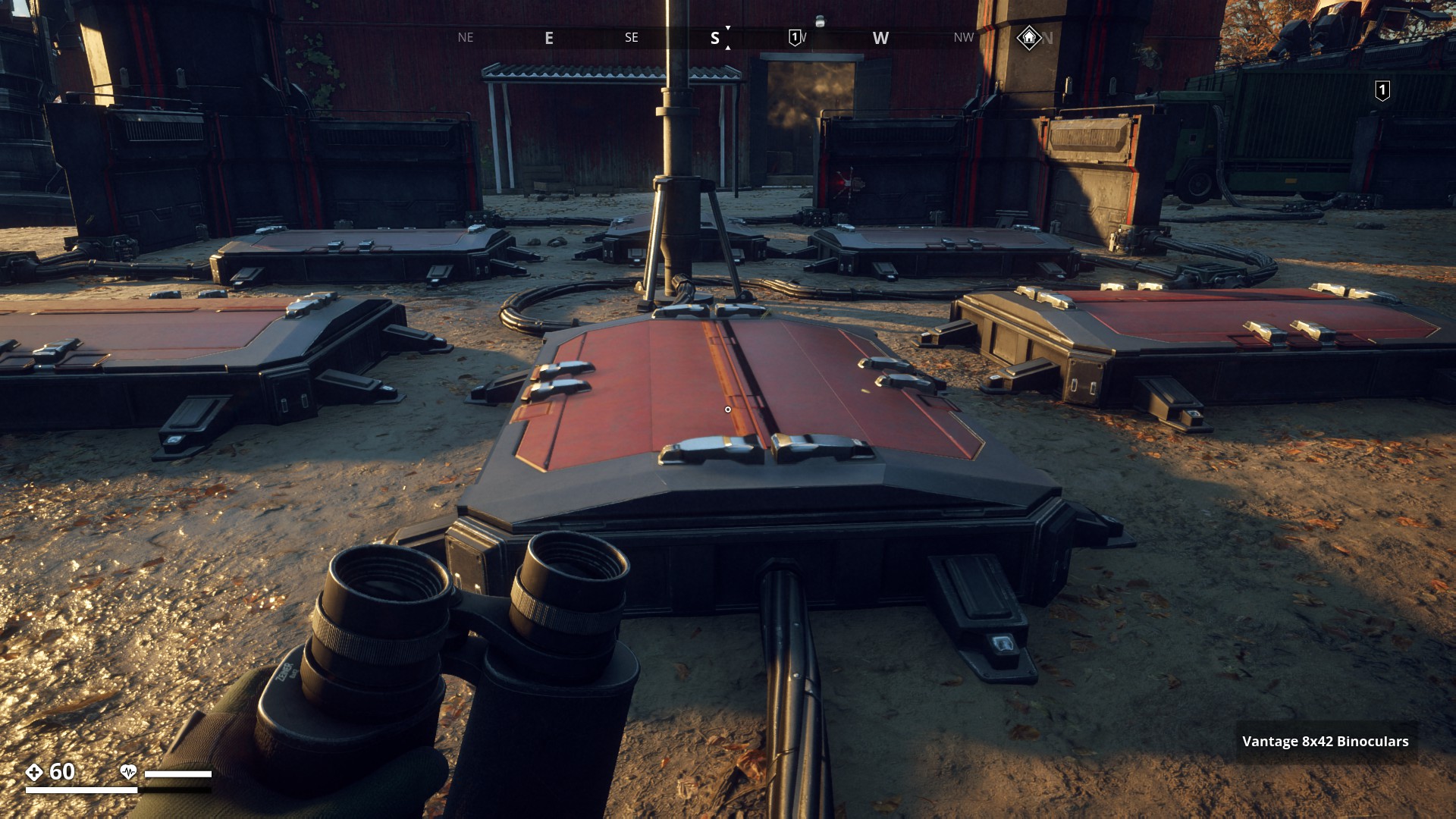
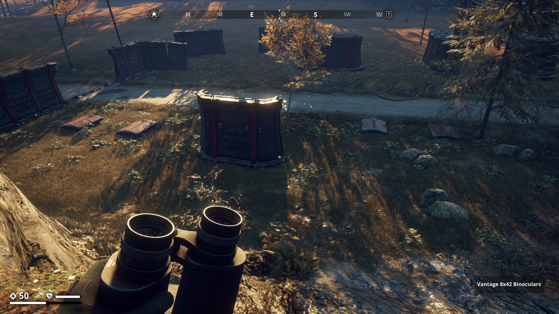
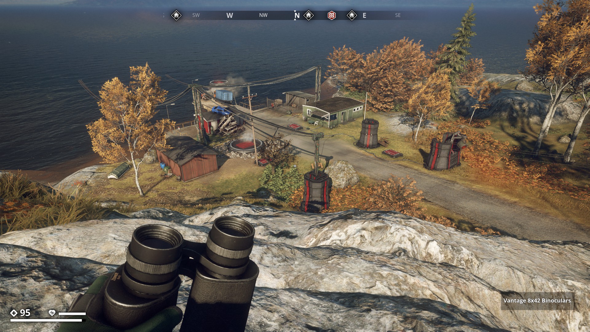
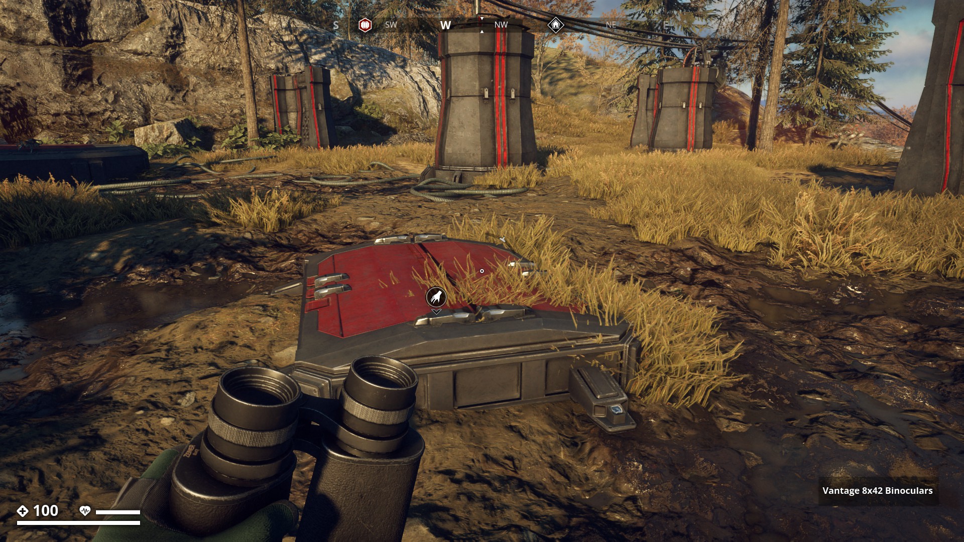
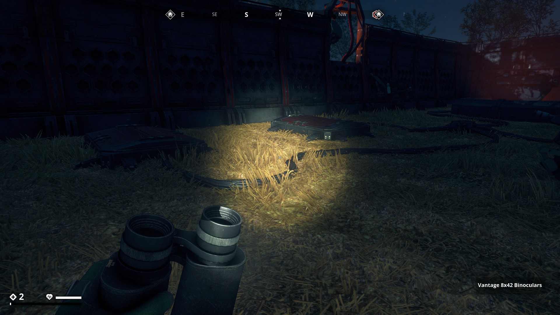
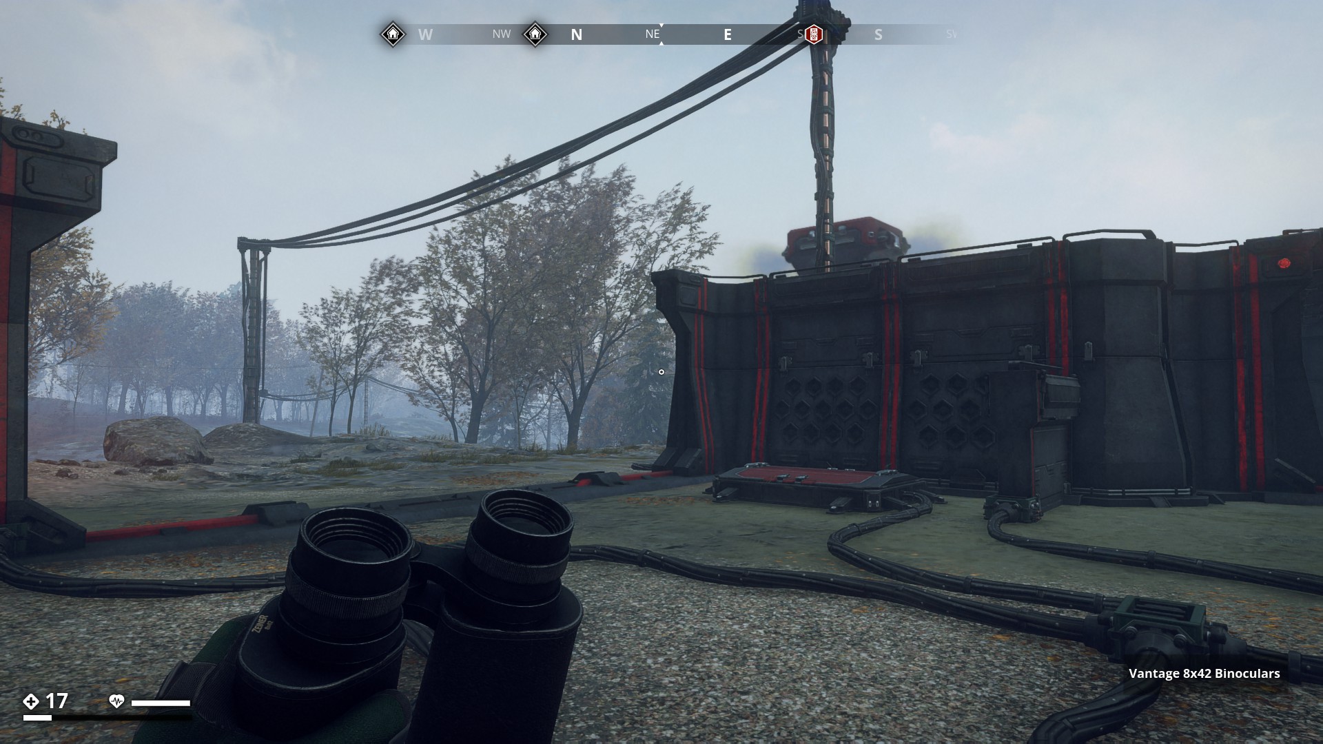
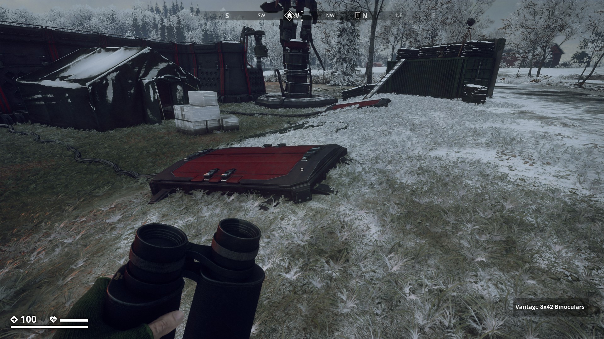
Route 13: Harvester Dumping Stations - Click here
Red Harvester Dumping Stations
![]()
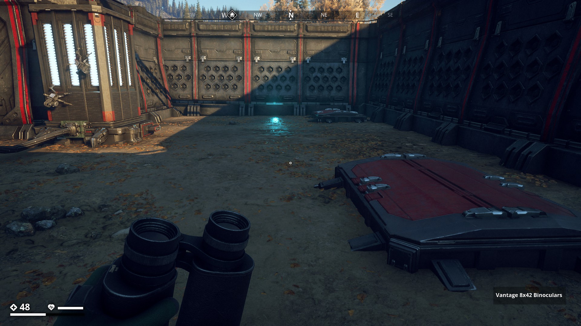
This route is covering 22 Harvester Dumping Stations locations (aka, Dumping Vaults, Underground Storages, or Red Hatches), where Harvesters go to dump their loot harvest. The vaults can contain all kinds of loot from weapon attachments, to apparel items to help you complete the GZ clothing sets. Dumping stations were also part of the Scout challenges, where you had to loot 30 dumping Stations.
Let’s go, and find some!
![]()
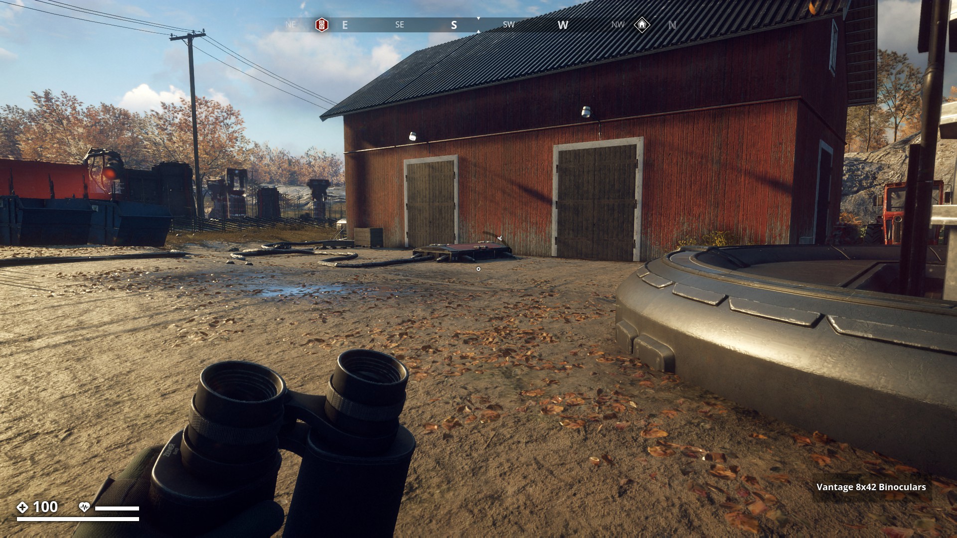
Brevikins Camping has 15 dumping stations. I believe we got our first introduction to these red hatches, in the FNIX Rising side-mission “The Hatches”, where we needed to loot three dumping stations at this camping.
▼
Fnix Central Nervous System ♯10011 has 14 dumping stations, but they are no longer accessible after you release the gas and blow the site to kingdom come to finish mission “Good night”. (pic Aesyle)
▼
Ängsnäs Manor has 8 Dumping Stations. Six of which are on this picture.
▼
Knaperänna Frontline Outpost has 6 Dumping Stations.
▼
FNIX Research Facility in the Farmlands has 5 Dumping Stations (-1790, 558), with a lot of ticks.
▼
Found 4 Dumping stations at FNIX research facility on F23 Överby Air base. Which was locked previously, but now it’s open.
▼
Stenungsnäs generator with 4 Dumping Stations nicely in a row.
▼

Then Tokeröd Data Center with 4 Dumping Stations as well.
▼
Säveredsberg Data Center has 3 dumping stations.
▼
I also counted 3 Dumping Stations at Hisings Udde.
▼
And another 3 spread around at Guteby Farm
▼
Location without icon, east of Kalleby on road, with 3 vaults.
▼
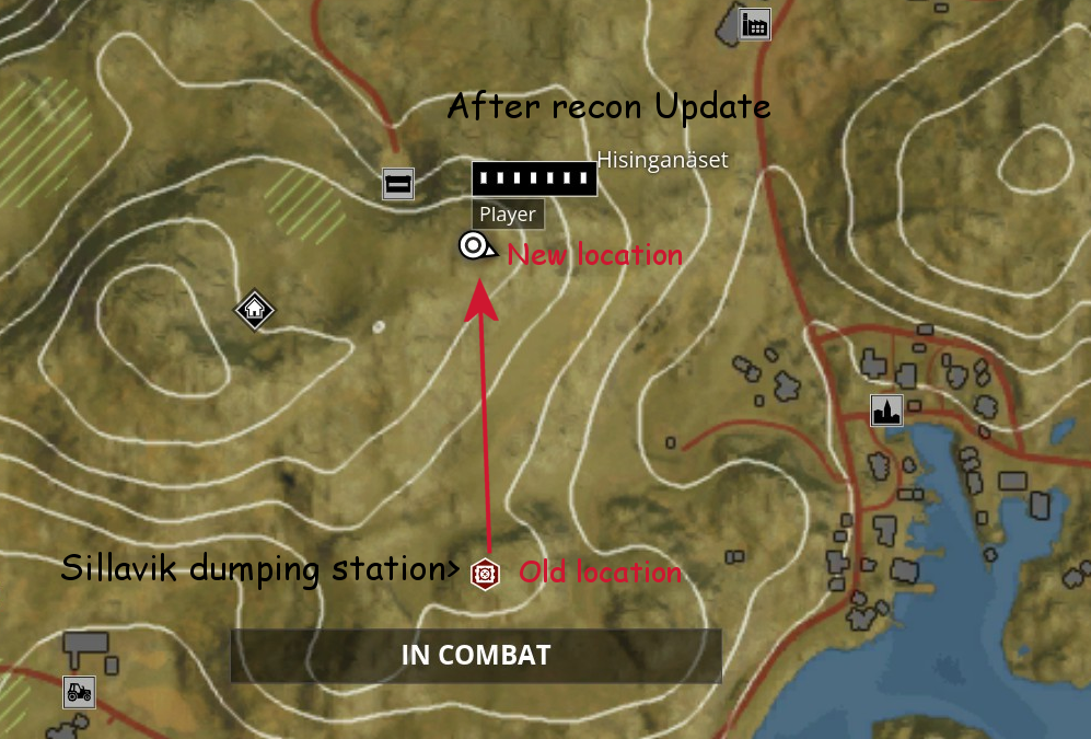
Sillavik Dumping Station had 2 of these red dumping Vaults, but after Recon Update it has 3. Also the location changed a bit higher up North, but the map location was not changed.
▼
At the Core Neural Node I also found 2, but not near each other.
▼
And also two vaults at the Hällabacken High Security Prison.
▼
Fiskebäck Docks has 2 as well.
▼

Then Ängnäsberg Data Center with only one Red Dumping Vault.
▼

And Småbåthammen Data Center also has just one.
▼
Three vaults here on Tylöveden mountain.
▼
One vault in the valley between two mountains in theTylöveden range.
▼
And another one vault also in the valley between two mountains in theTylöveden range.
▼
One vault in FNIX cave on South-side of Tylöveden Mountain
▼

Two vaults at a shot down FNIX outpost south east of Stenmyra. (Landfall update)
▼
8 Likes

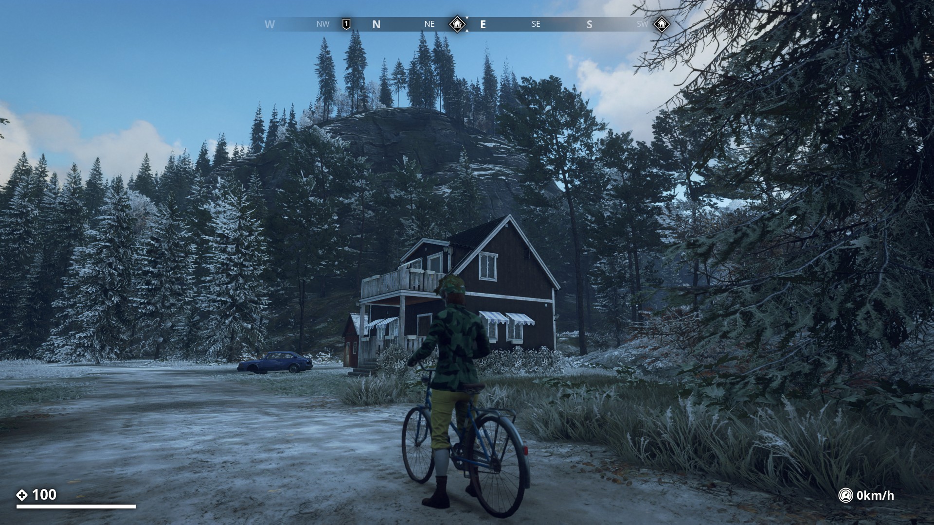
Route 14: Cyclist urban explorer guide to Östertörn
This beautiful and long route is best done by the bike and it takes you to all of the Command Bunkers and some military installations as well.
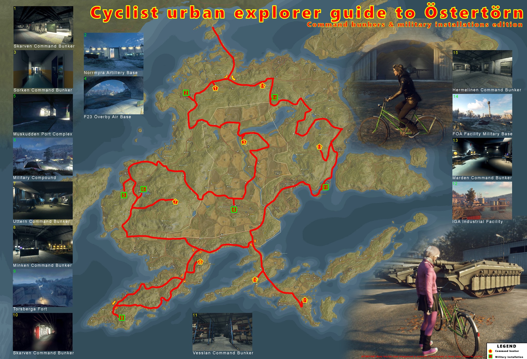
Map credits: @0L0
9 Likes

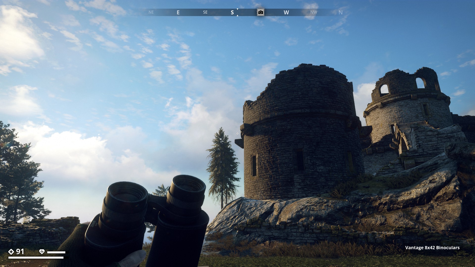
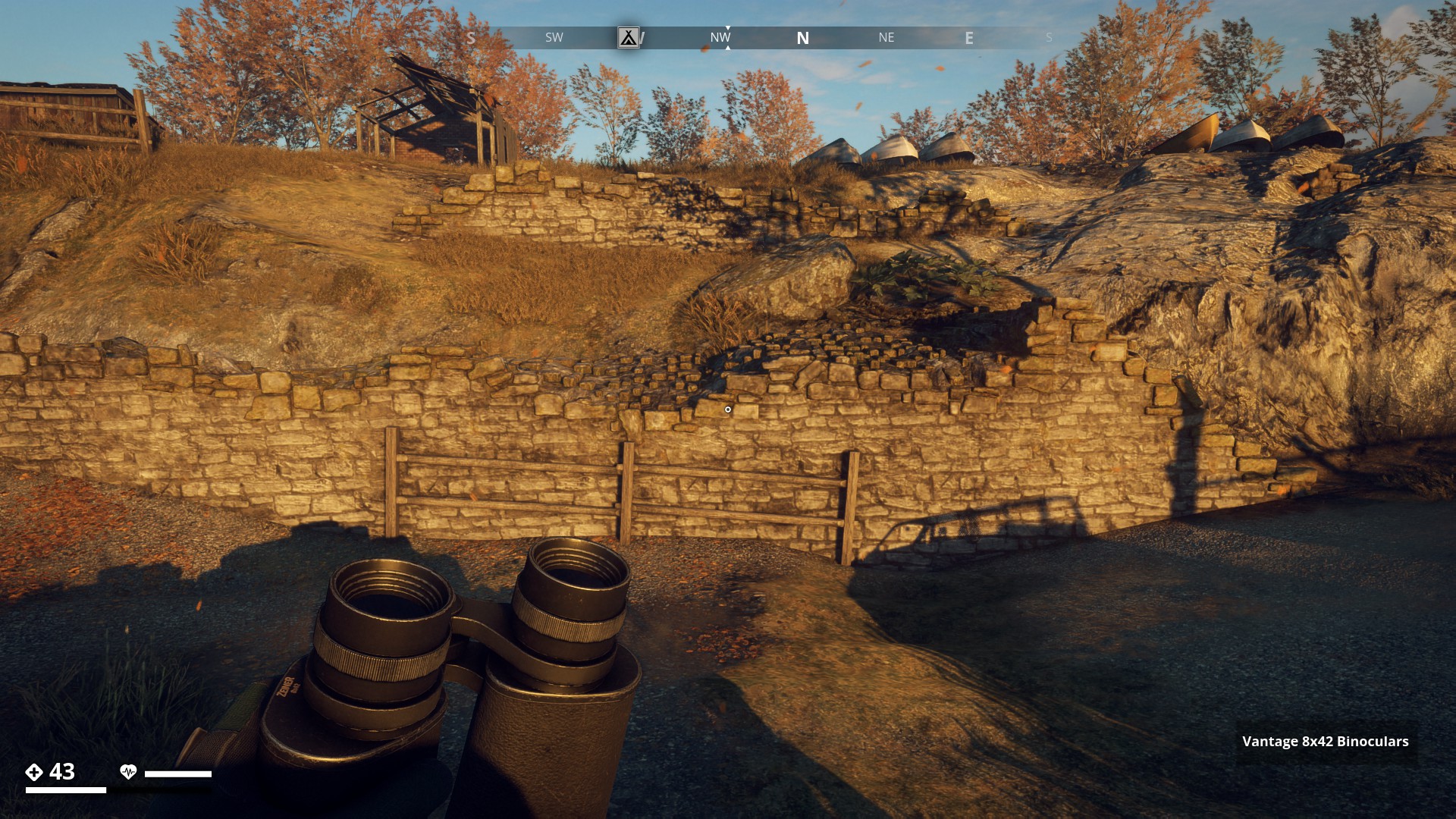
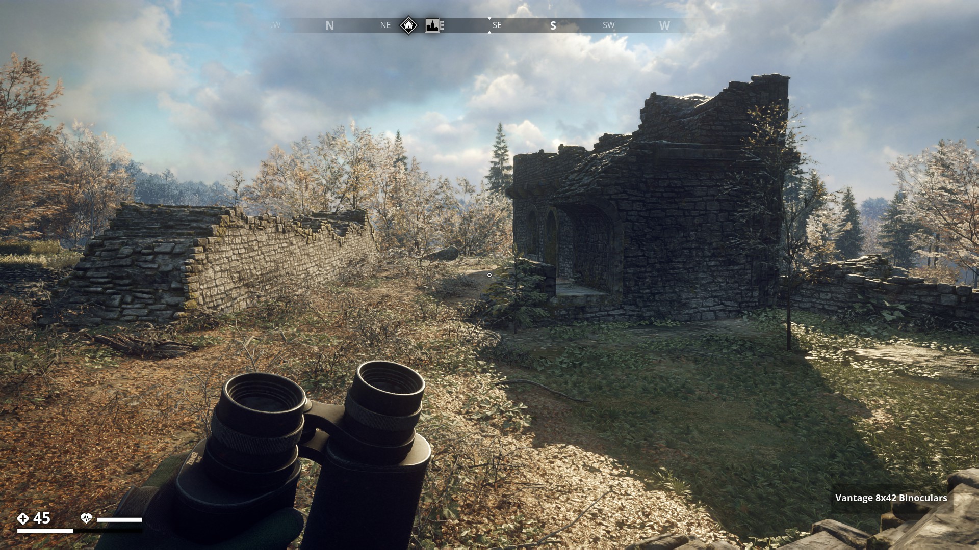
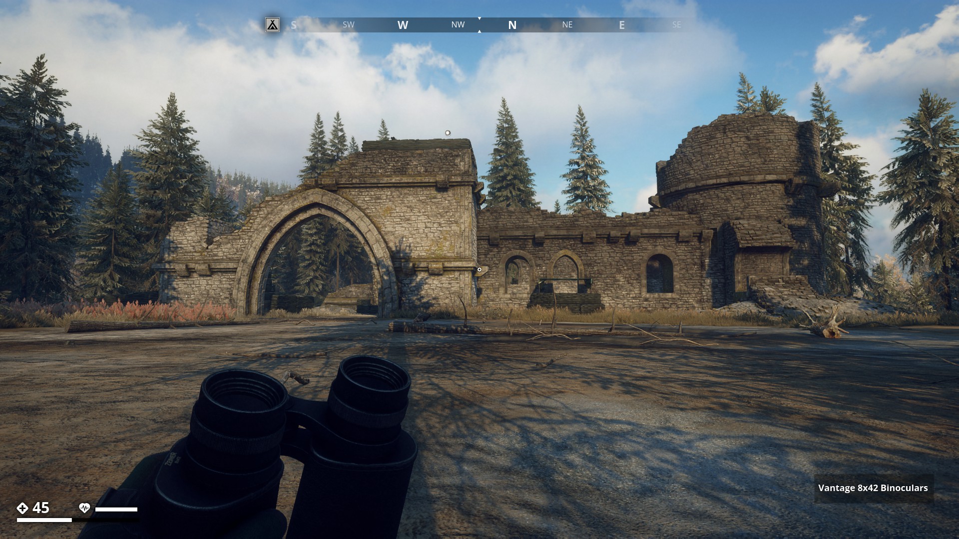
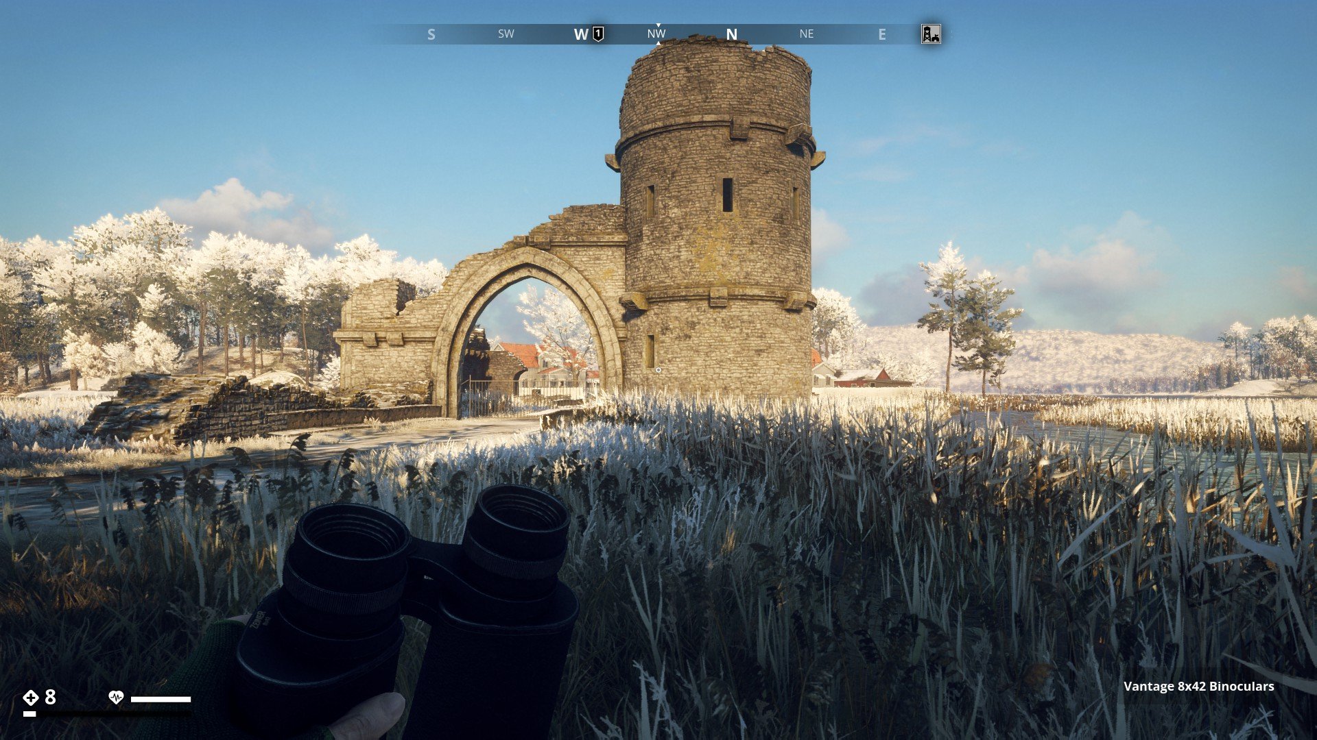
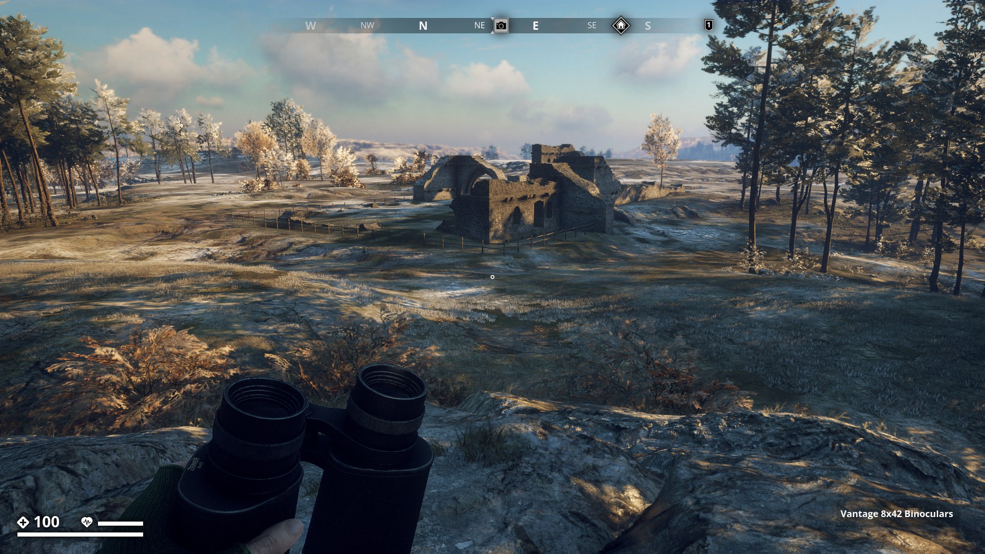
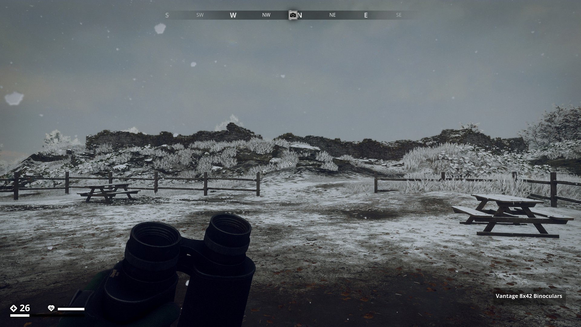
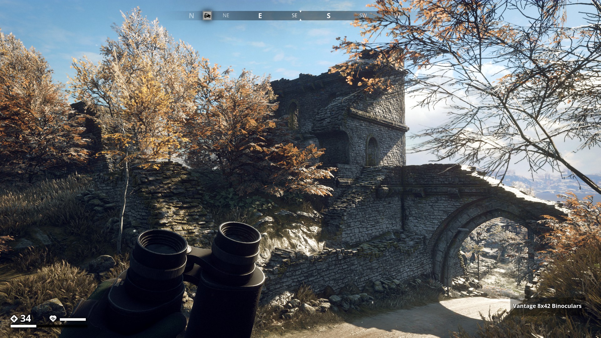
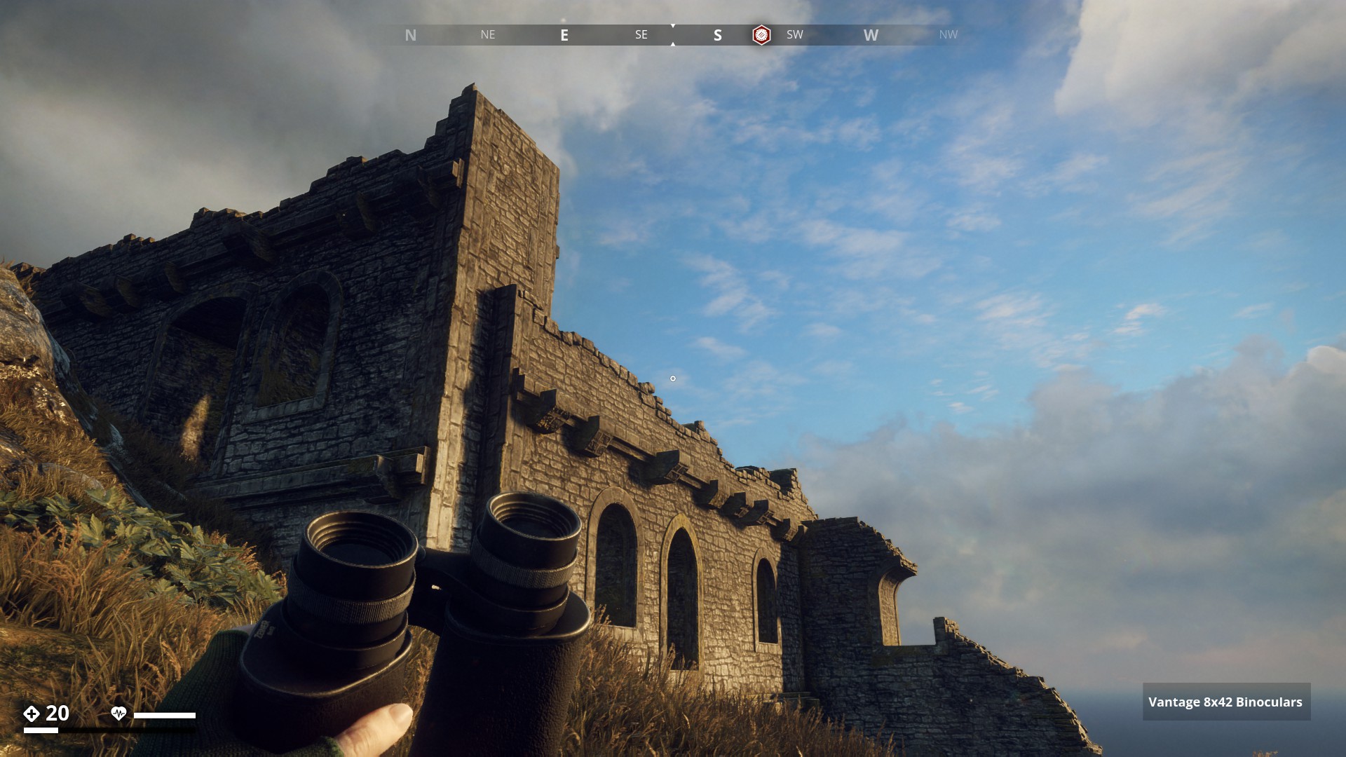
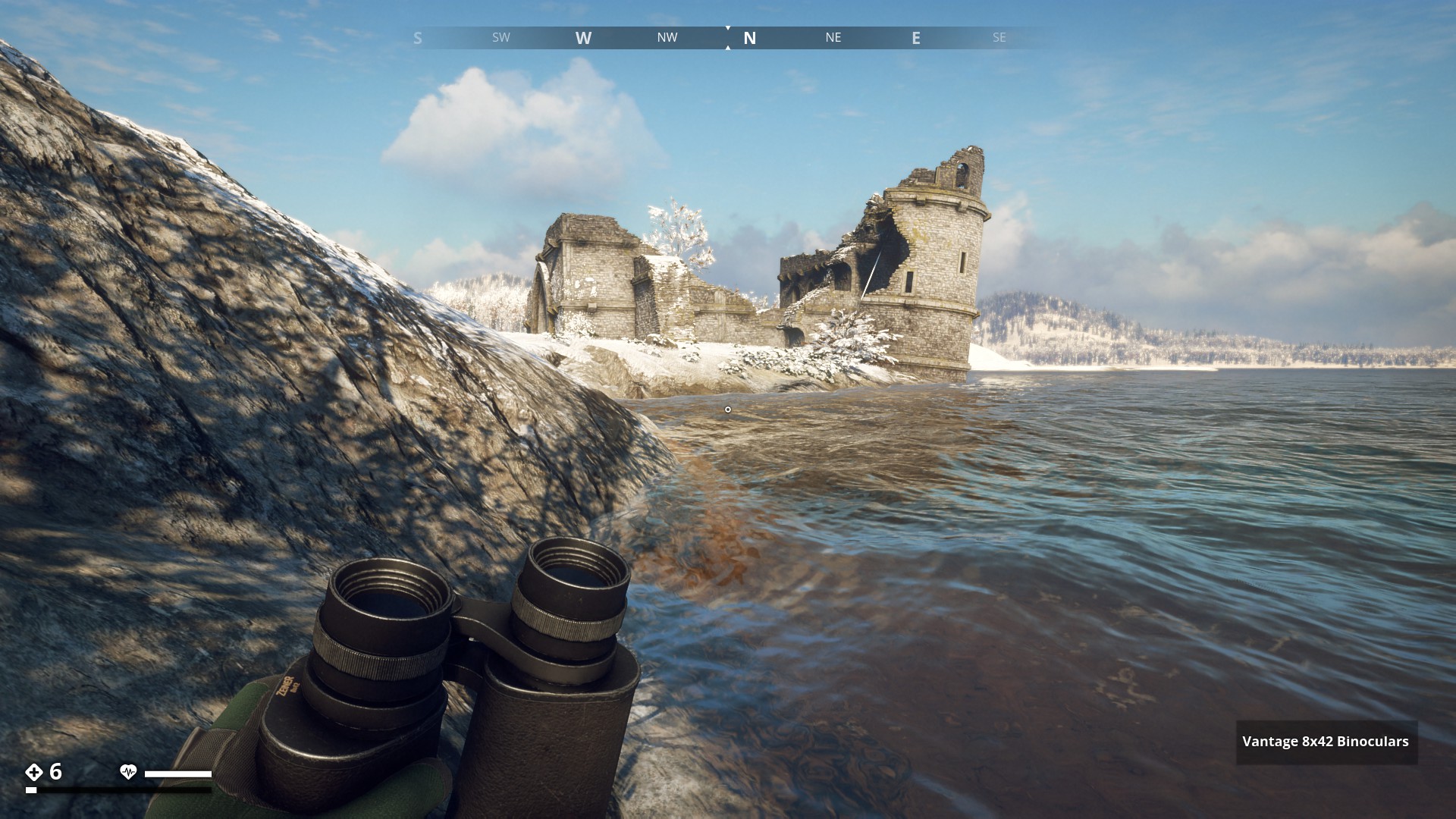
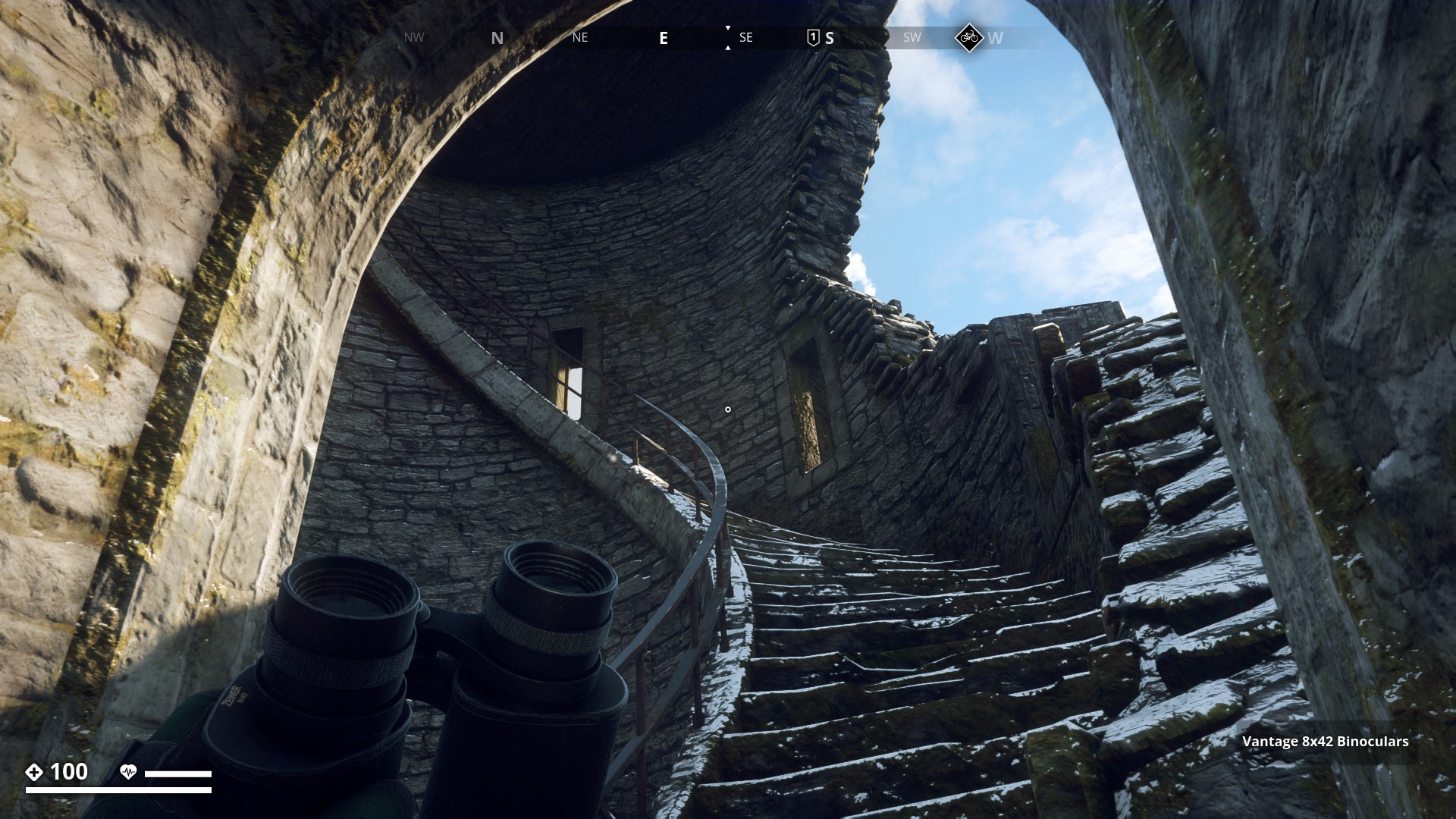
Route 15: Ruins - Click here
Östertörn Ruins
![]()
On my runs through the GZ gameworld I past many ruins. There were many locations that only showed parts of ruins walls or just foundations, too many to all place here. So I show you the most prominent ruins.
![]()
Archipelago.
Iboholmen Castle Ruins. (1)
▼
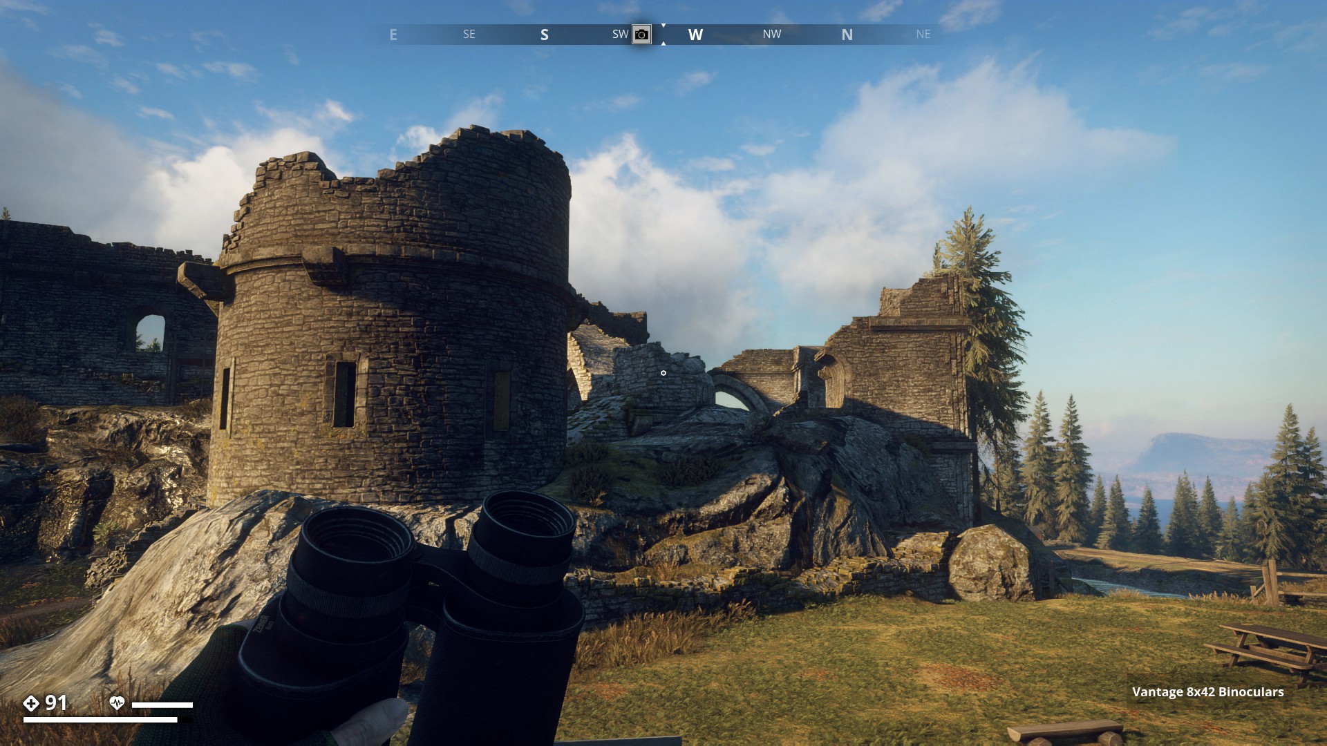
Archipelago.
Iboholmen Castle Ruins. (2)
▼
Archipelago.
Ruins at the Abandoned Fishing Wharf.
▼
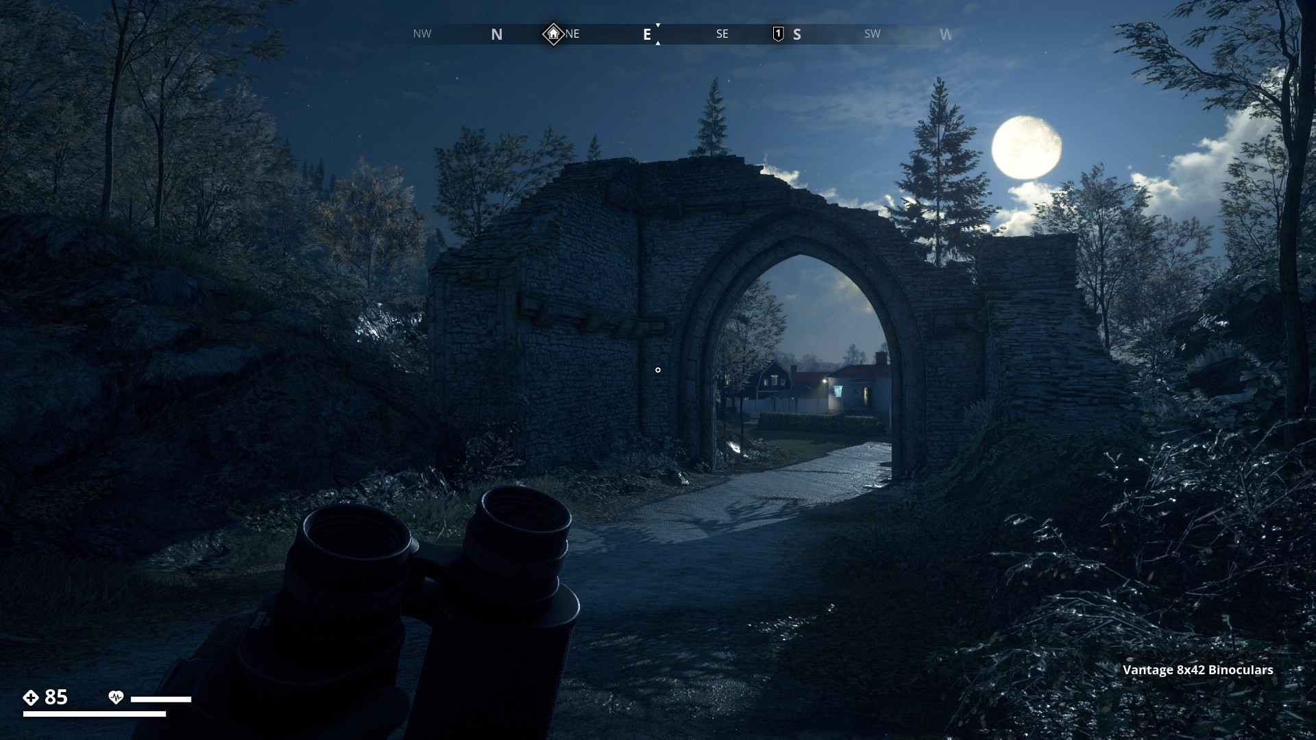
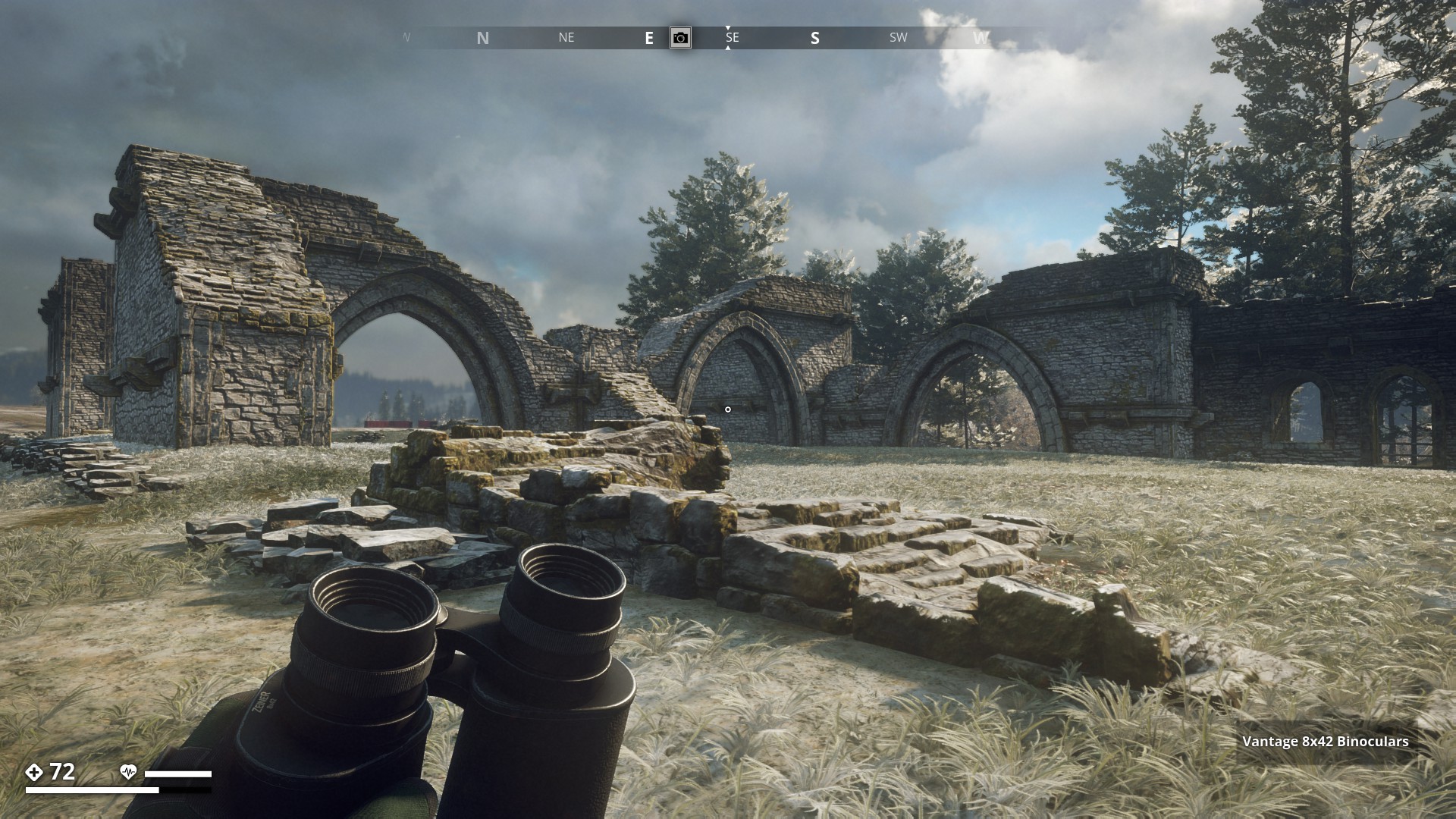
Forest.
Gamla Stan Ruins. (1)
▼
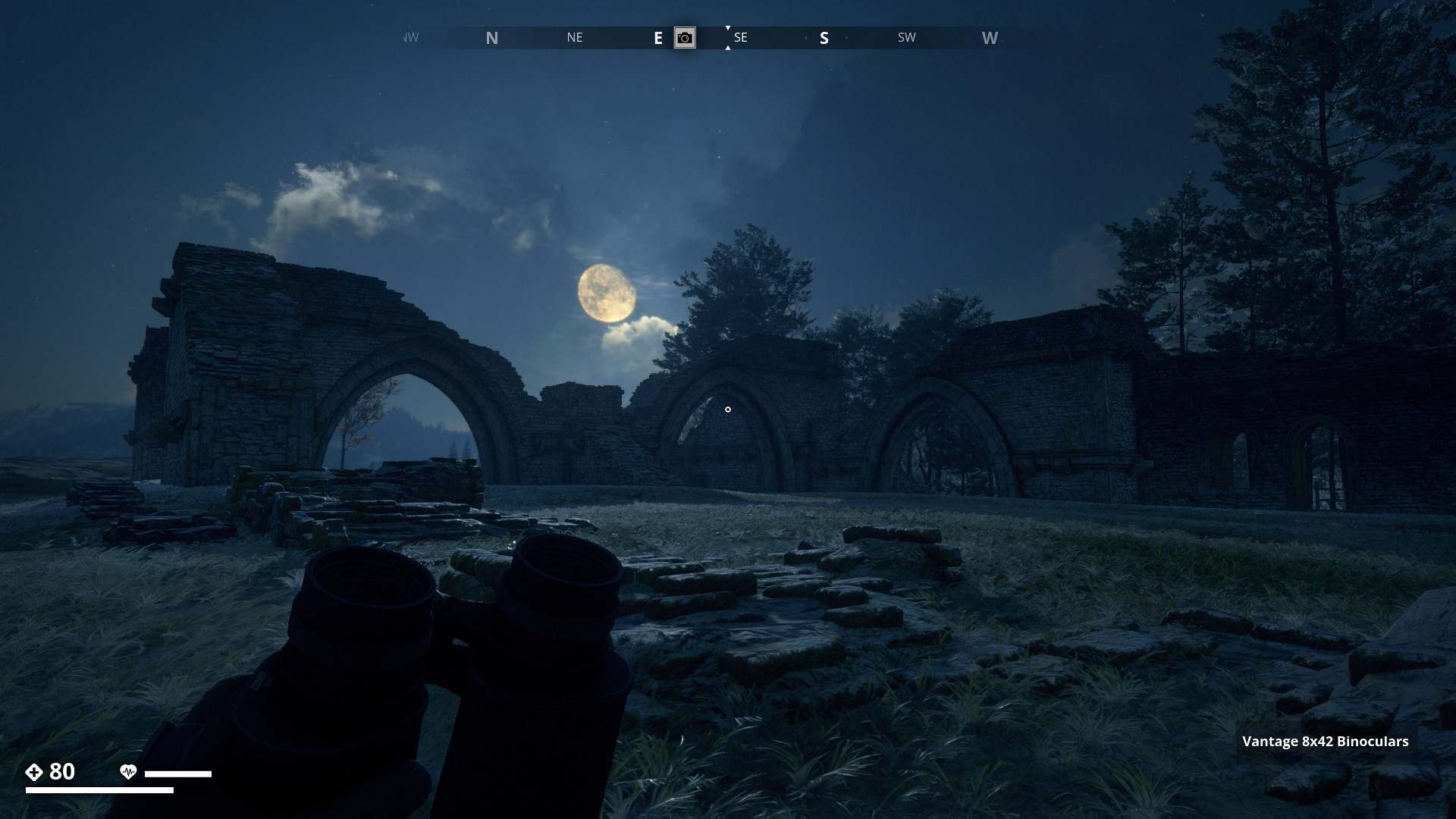
Forest.
Other part of the Gamla Stan Ruins in the moonlight. (2)
▼
Farmlands.
Castle Ruins occupied by the Sovjets.
▼
Farmlands.
There’s not much left of the Farstaborg ruins. Just some parts of walls.
▼
Farmlands.
Mullvadsberget Ringfort ruins. You can still make out its ring shape a bit if you walk along the walls.
▼

Farmlands.
Ruins of elevated rail track at Ånnagruvan. (1)
▼
Ruins of elevated rail track at Ånnagruvan seen from the other side. (2)
▼
Farmlands.
Winter view of the ruin walls that surround the Ånnagruvan mining tower.
▼
Mountain Region.
Ruin Tower with the radio dishes.
▼
Marshlands.
Ruins of Entrance gate at Ålnästet.
▼
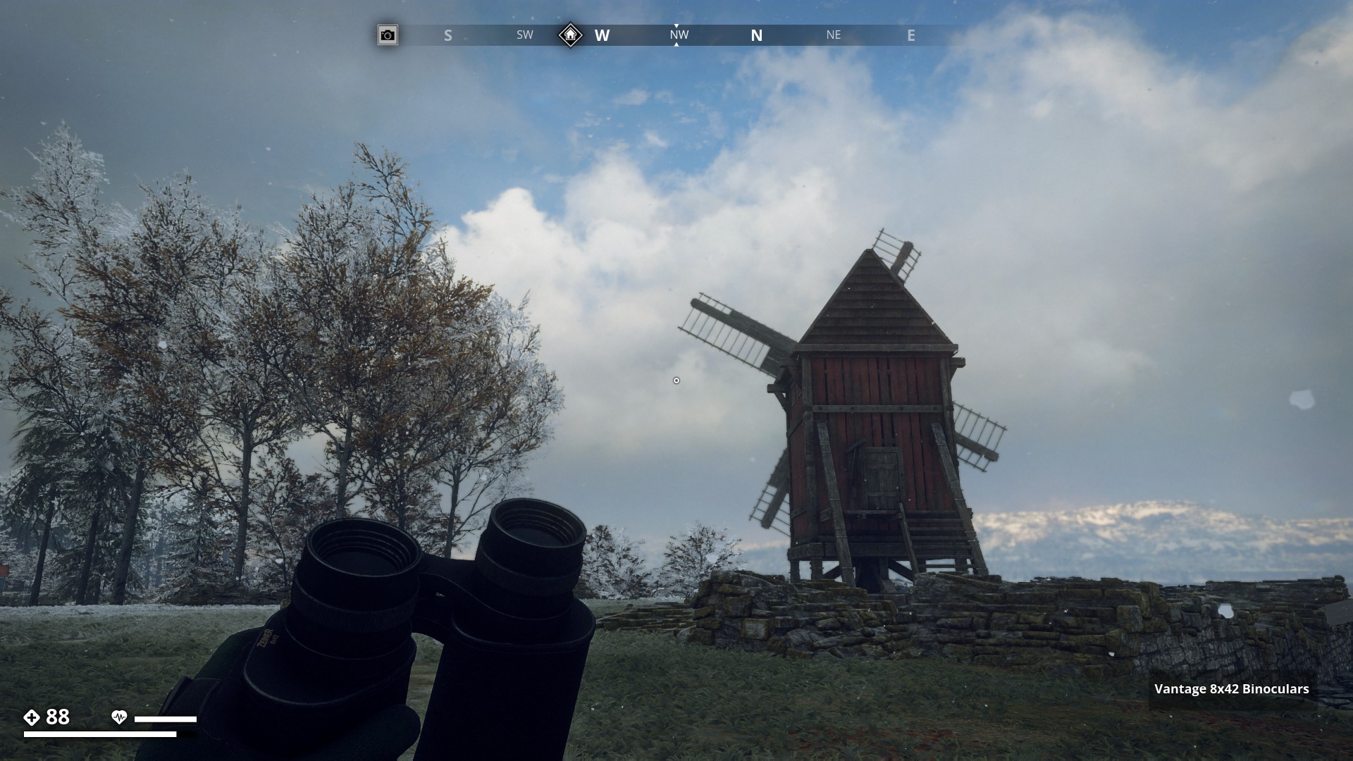
North Coast.
Remnants of Ruins around the windmill in Hagaboga.
▼
North Coast.
St. Anna Church ruins by day. (1)
▼
North Coast.
St. Anna Church ruins by night. (2)
▼
North Coast.
St. Anna Church Ruins far view. (3)
▼
North Coast.
St. Anna Church Ruins is changed. Now it has a prominent tower.
▼

North Coast.
Ruin walls of Viskandets Borg.
▼
South Coast.
Ruins at Ängsnäs Manor.
▼
South Coast.
Kaseberg ruins. Perfectly situated on a mountain top.
▼
Ruins on Himfjäll Island
Himfjäll.
Castle Ruin close to Österhällan Marine Center - Far view. (1)
▼
Himfjäll.
Castle Ruin close to Österhällan Marine Center - stairs. (2)
▼
6 Likes
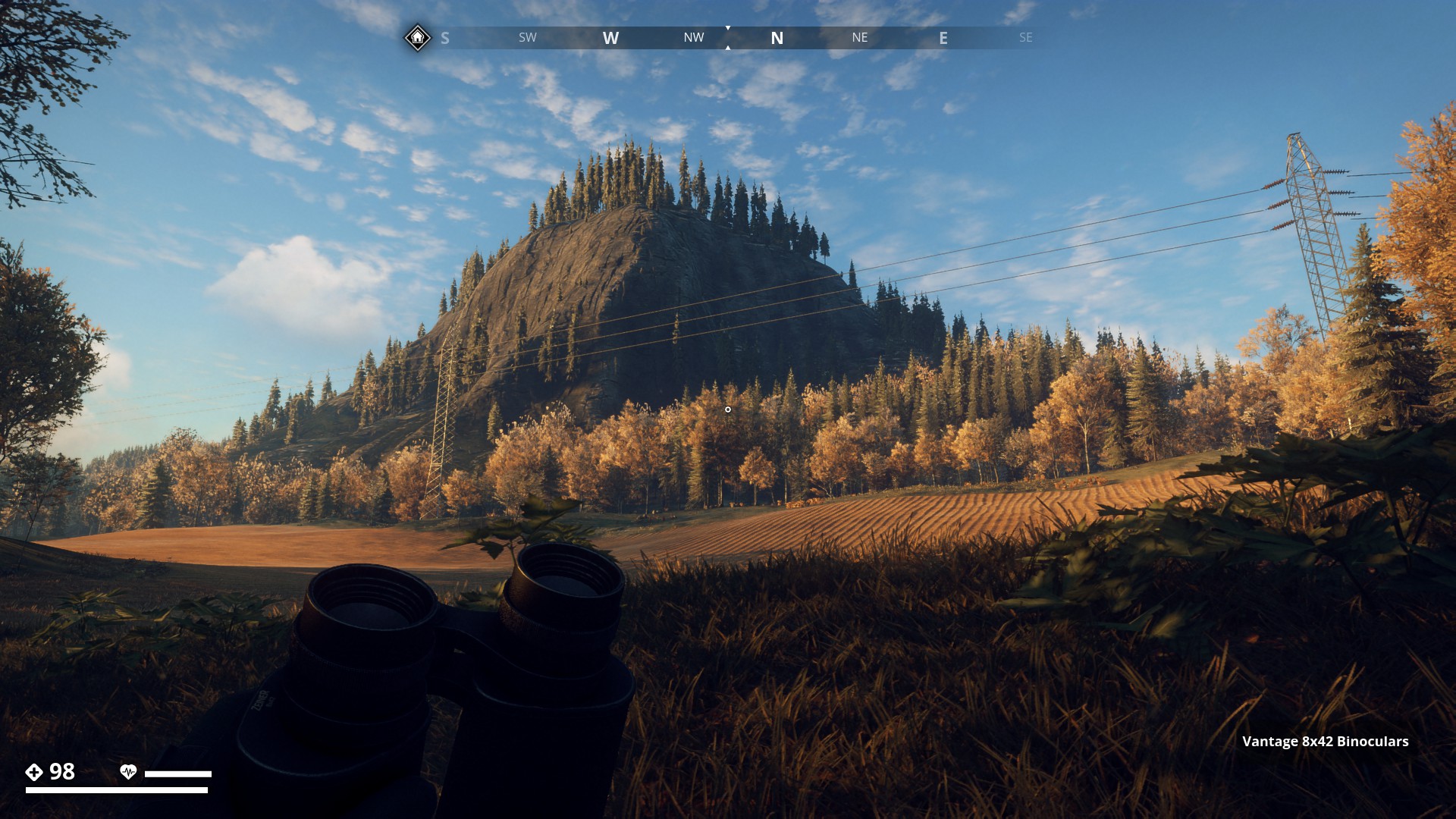
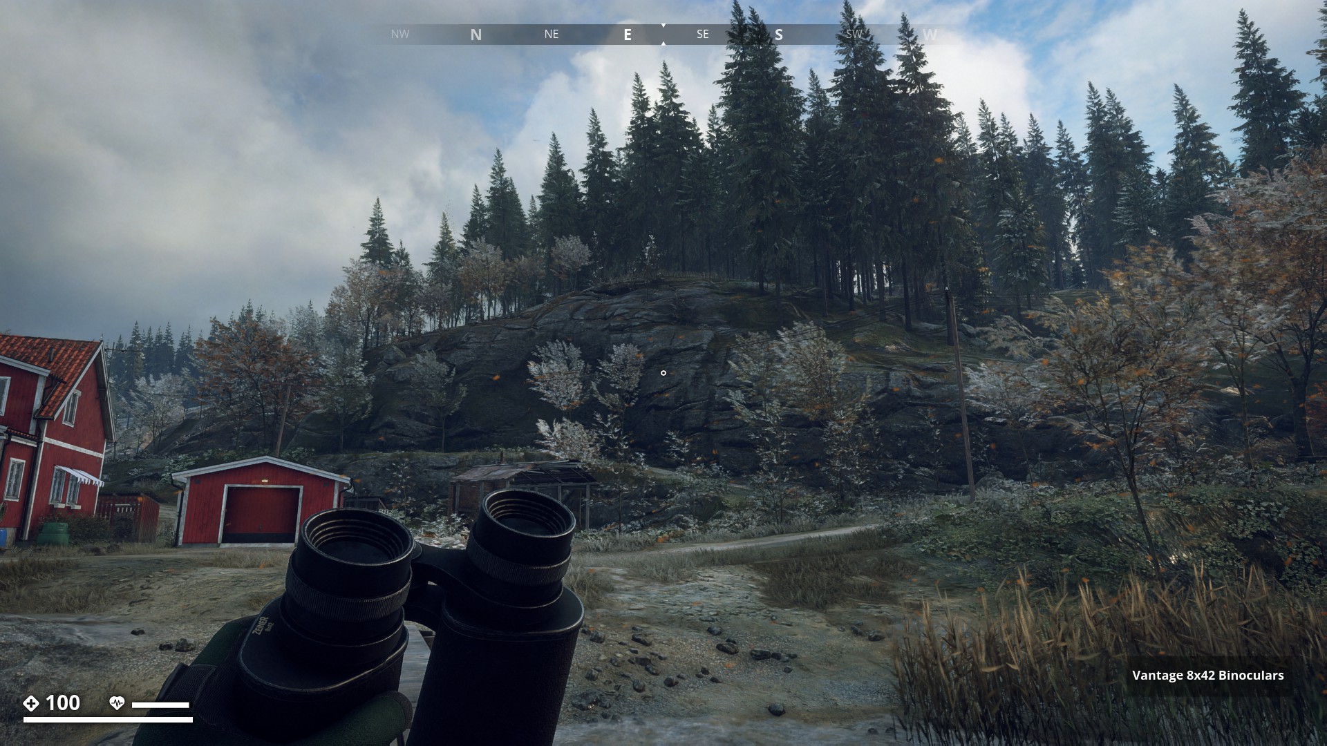
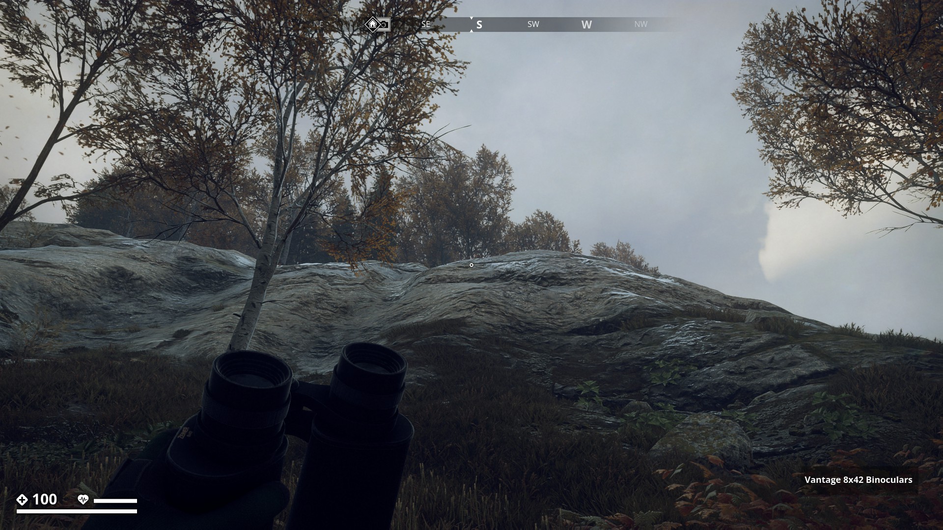
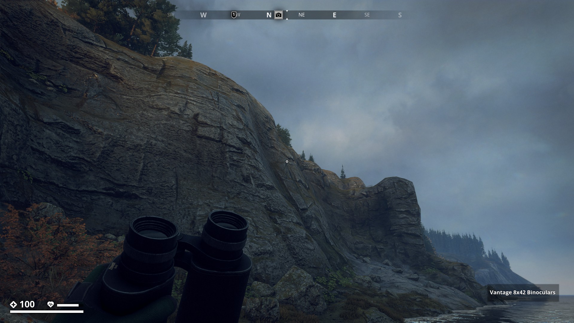
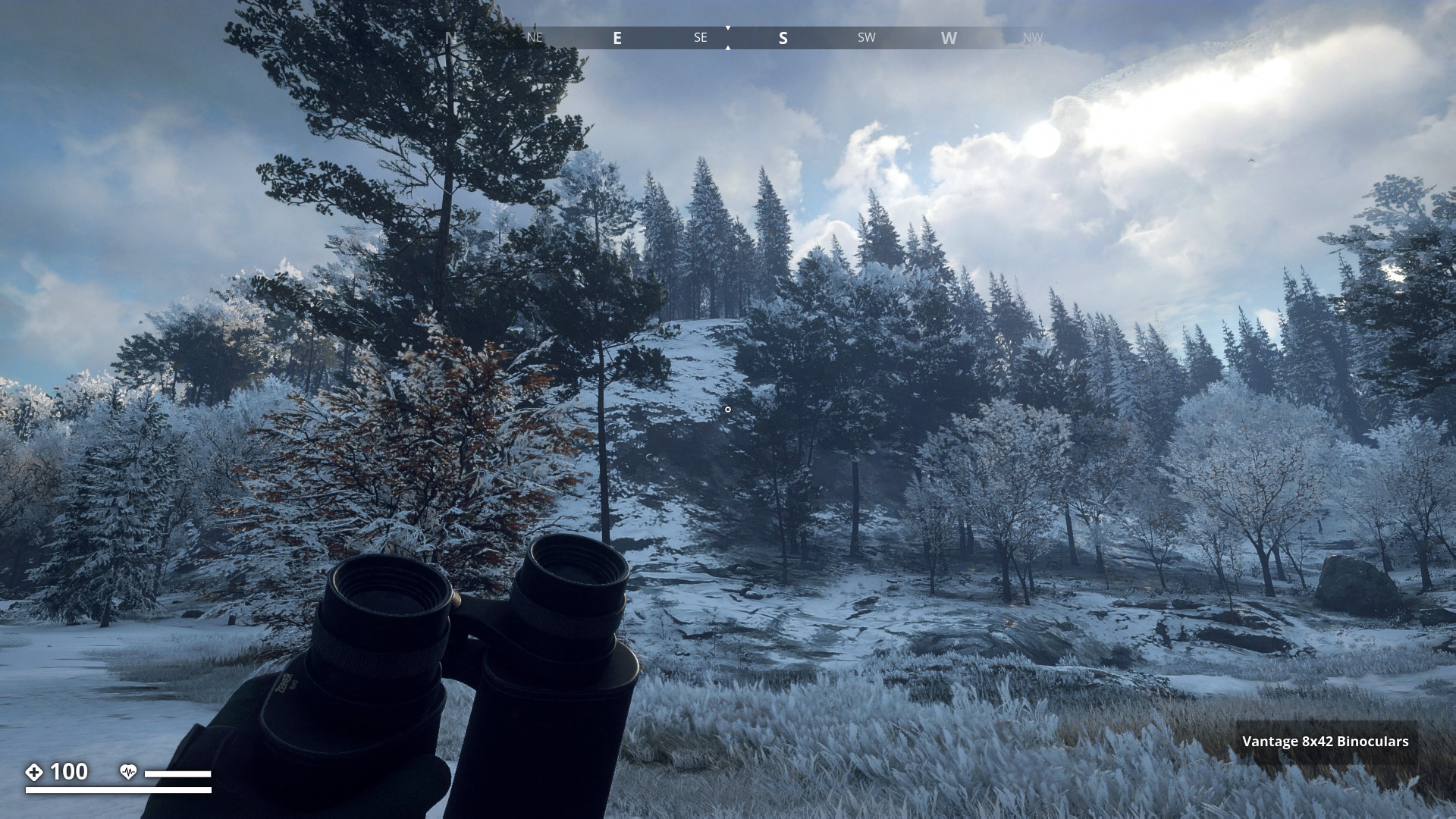
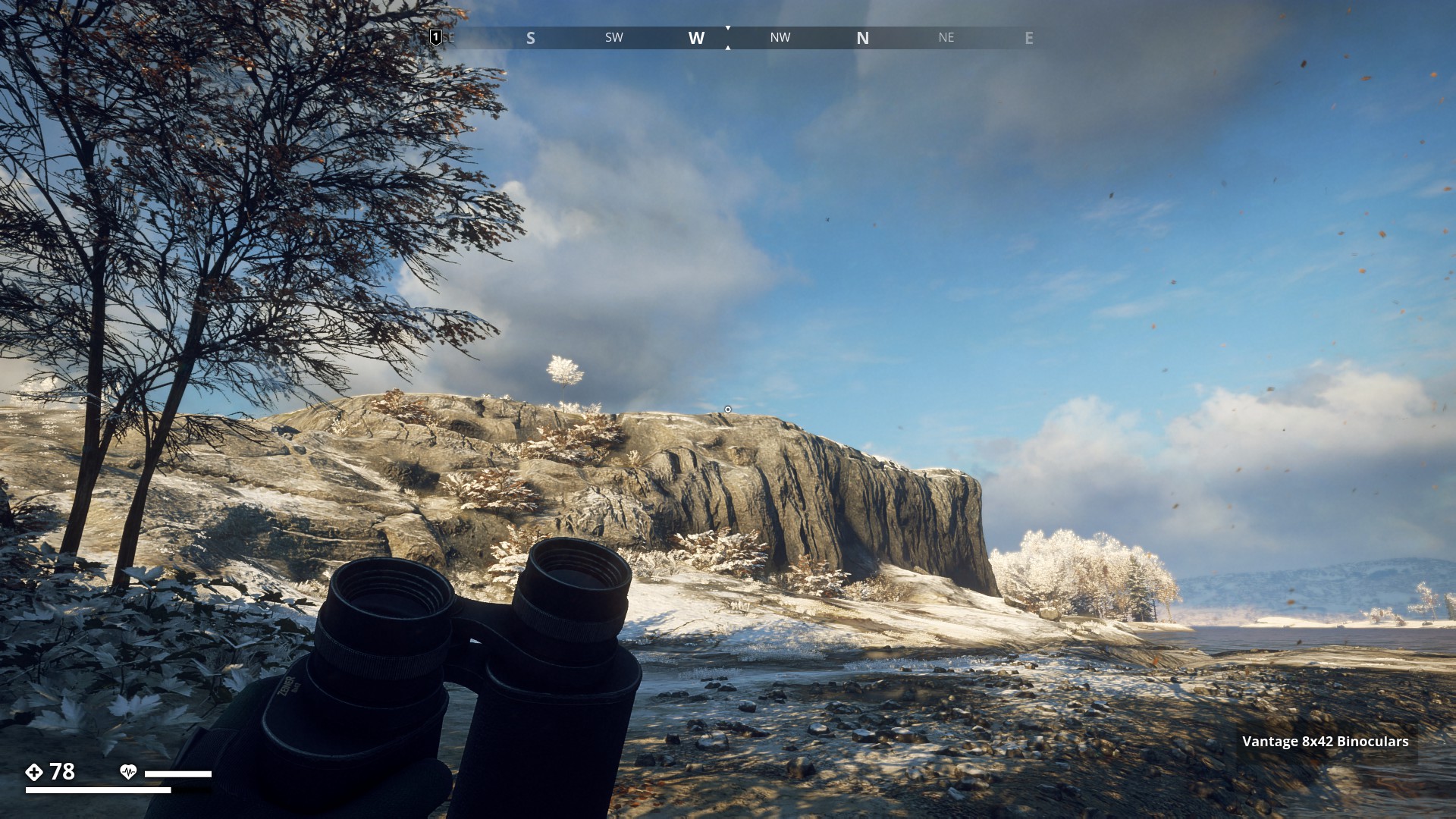
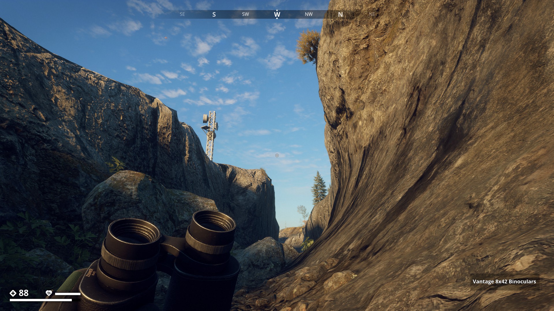
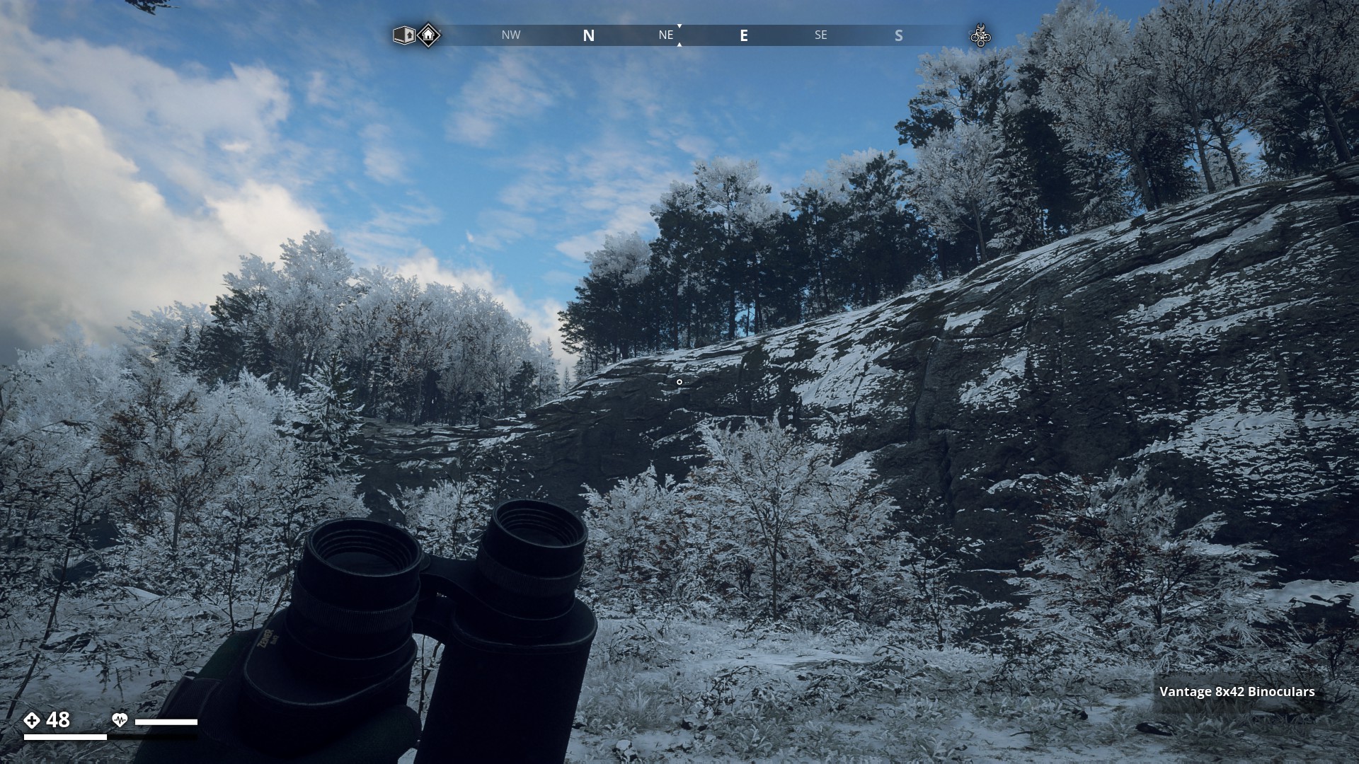
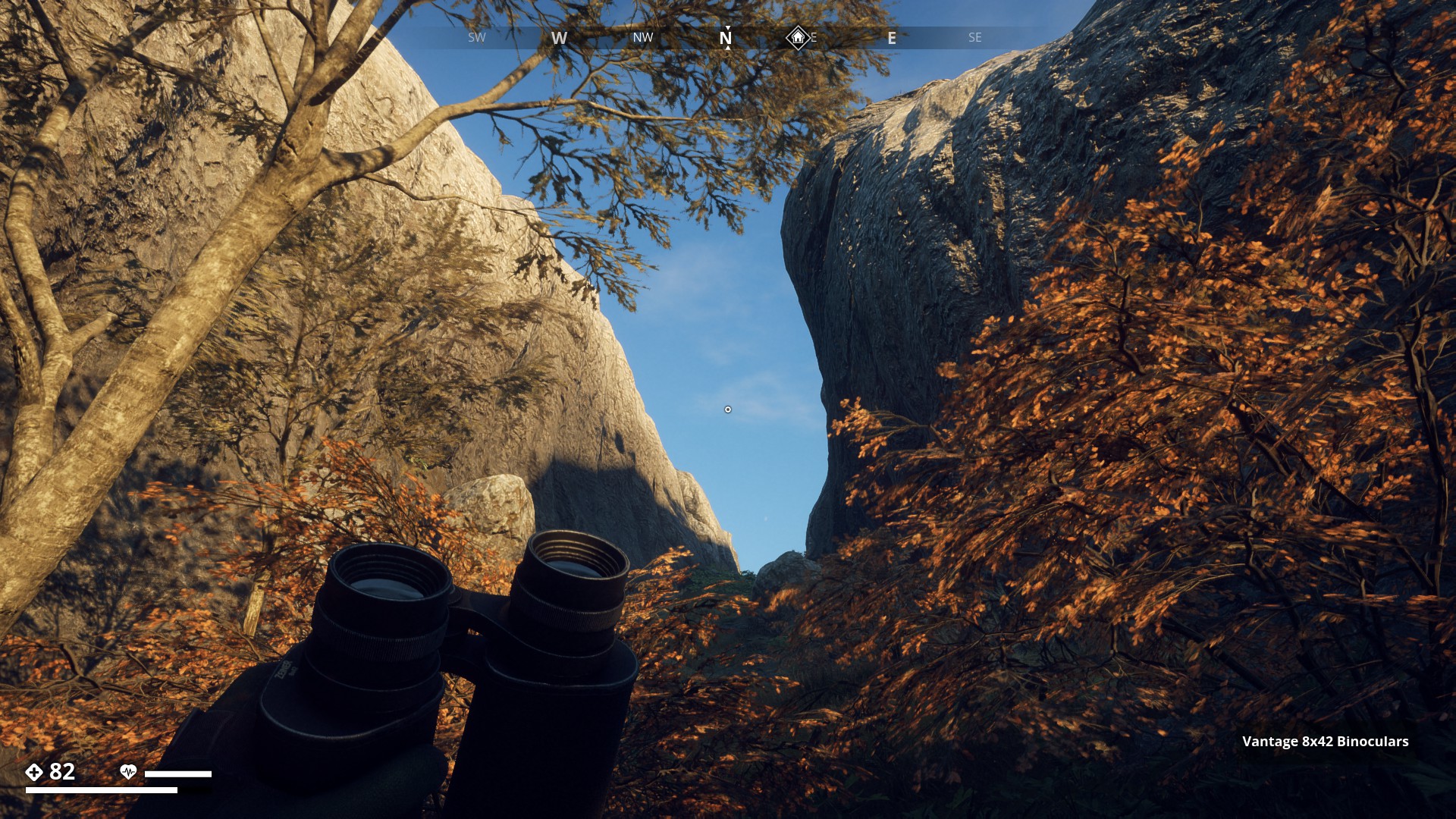
Route 16: Mountains and Mountain Features - Click here
Mountains and Mountain Features
![]()
Rusaberget in Mountain Region. Highest mountain of all Islands (so far).
▼
Second highest is the East peak of the Mountain Range on the unknown island North from Himfjäll.
▼

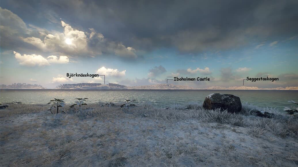
Björknässkogen Mountain in Archipelago Region.
▼
![]()
Björntunsklacken, East Peak on Himfjäll.
▼

Nice green moss-covered Horseshoe Cliff, on Archipelago.
▼
Here a top-view of that horseshoe cliff.
▼

Hammarstöten, West Peak on Himfjäll.
▼
West Peak of the Mountain Range on the unknown island North from Himfjäll.
▼
Hiker’s Peak, part of the Tylöveden Mountain Range in Forest Region.
▼
Iboholmen Mountain west of Björknässkogen on Iboholmen Island (Archipelago).
▼

Kaseberg Mountain in the South Coast Region, with Kaseberg Ruins on its summit.
▼
Kilsberget, North-East of the Mountain Region.
▼
Muskudden Mountain Peak in Mountain Region.
▼
Sävered Mountain in South Coast Region.
▼
Skåleberget in Forest Region, west of Himfjäll Island.
▼
Beautiful, sculpted rocky Mountain Wall in Archipelago Region.
▼
Wintery view of Stenmyraberget in Marshland Region.
▼
Töresta Mountain Peak, part of the Kilslagen Range in Mountain Region.
▼
Steep rocky wall on the other side of the … ehm… let’s call it the Strait of Östertörnsundet.
▼
Mountain Region Ravine.
▼
Viskandets Borg Mountain Plateau.
▼
Cubistic Mountain features at Kalkbrottet.
▼

Mountain Plateau on unknown Island north of Viskandets Borg.
▼
South Coast Region Ravine 1.
▼
Nice black Rock Face in the snowy Marchland landscape.
▼
South Coast Region Ravine 2.
▼
Nice view of all three peaks together on the (unknown) Island north of Himfjäll
▼
Night view of Storskogen west of Kattkarret lake in Forest Region.
▼
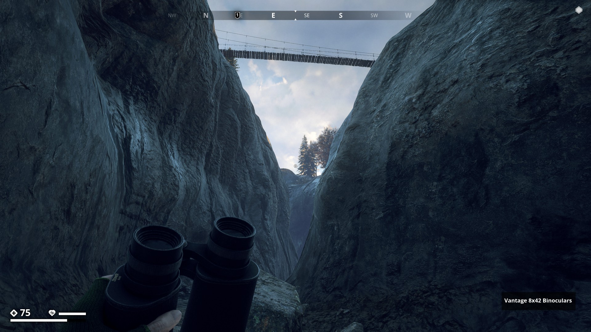
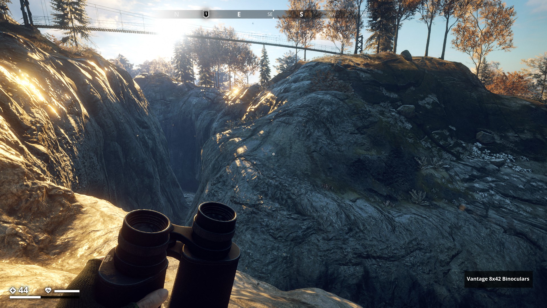
Largest Ravine so far. Found east of Sorken Bunker, with a bridge crossing it. (New Dawn)
▼
Beautiful Eye in the mountain feature south of Vastra Mark (FL), which might have been a rendering fluke, because sadly, it was removed in the “New dawn Update”.
▼
3 Likes
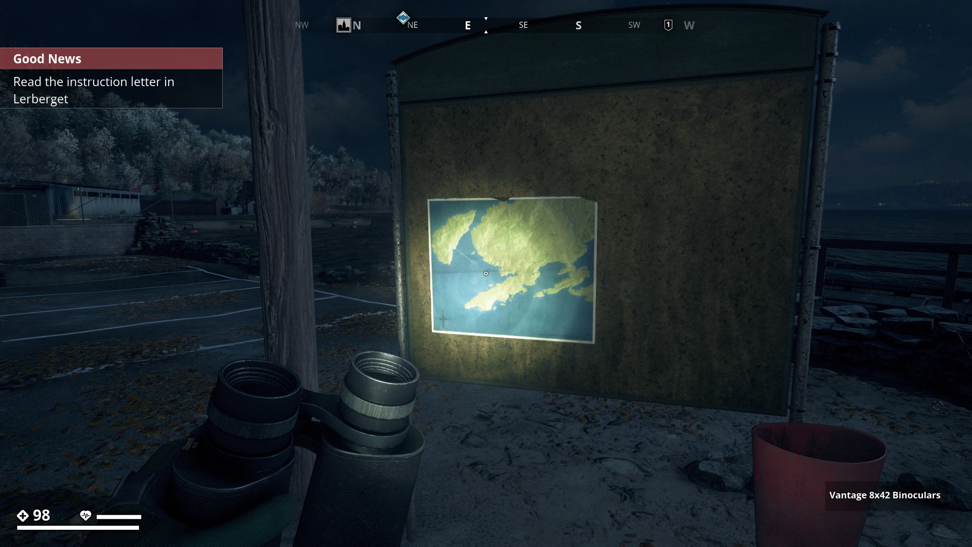
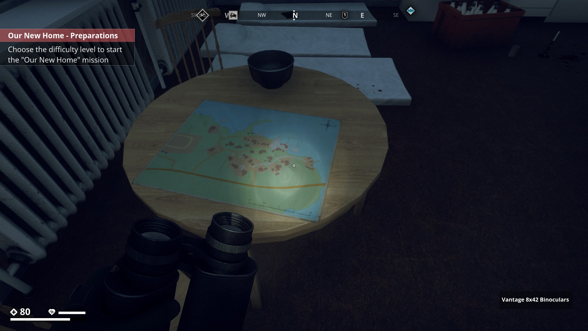
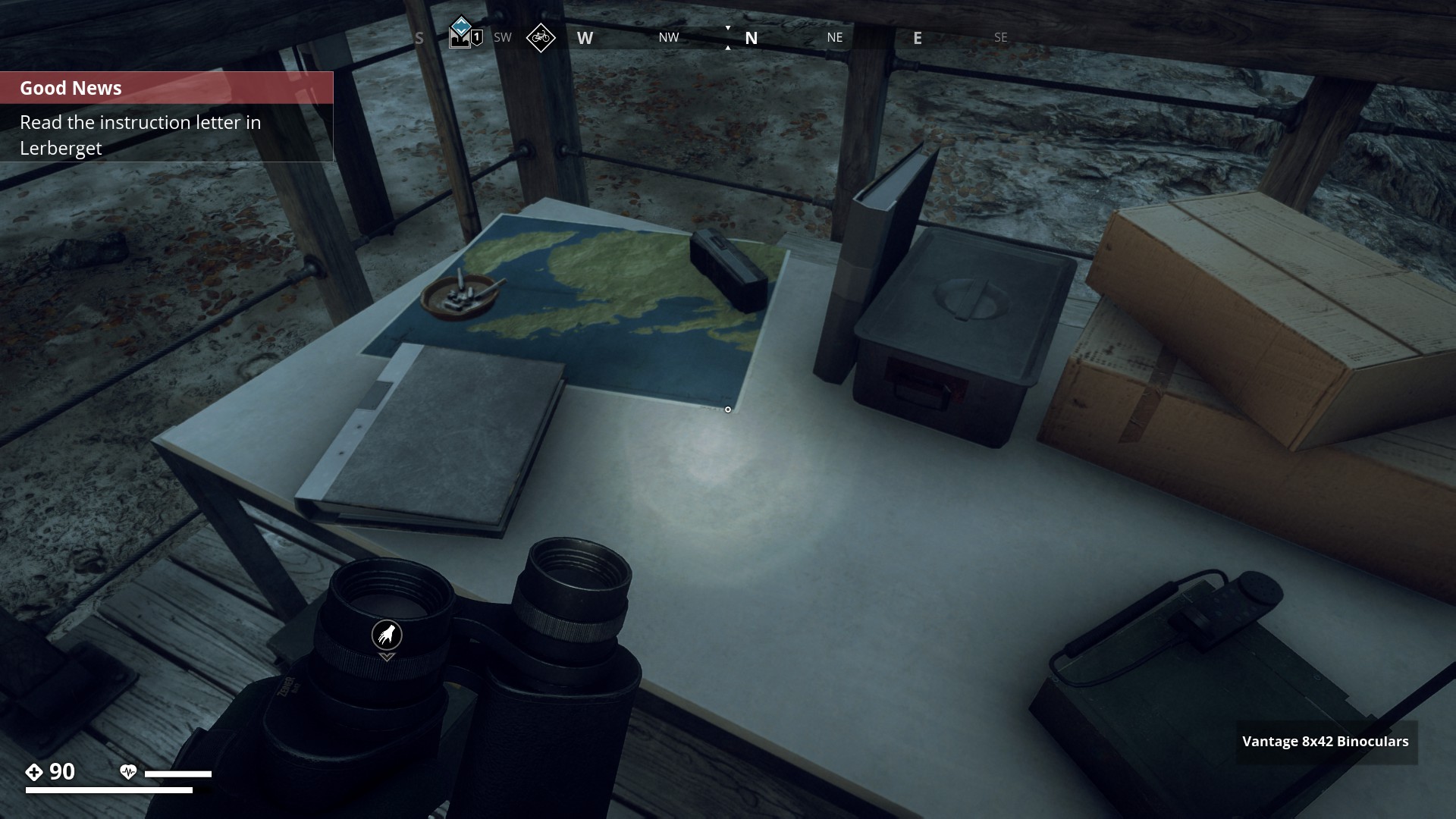
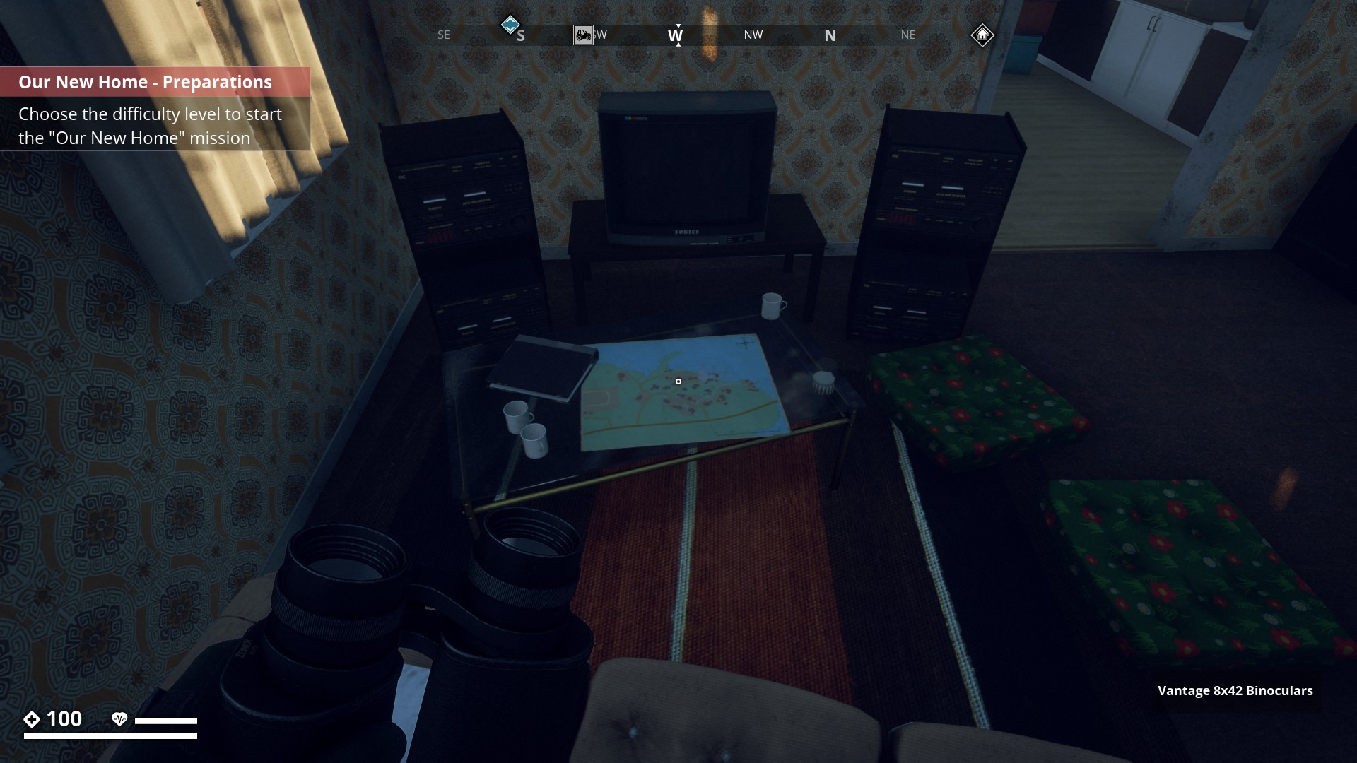
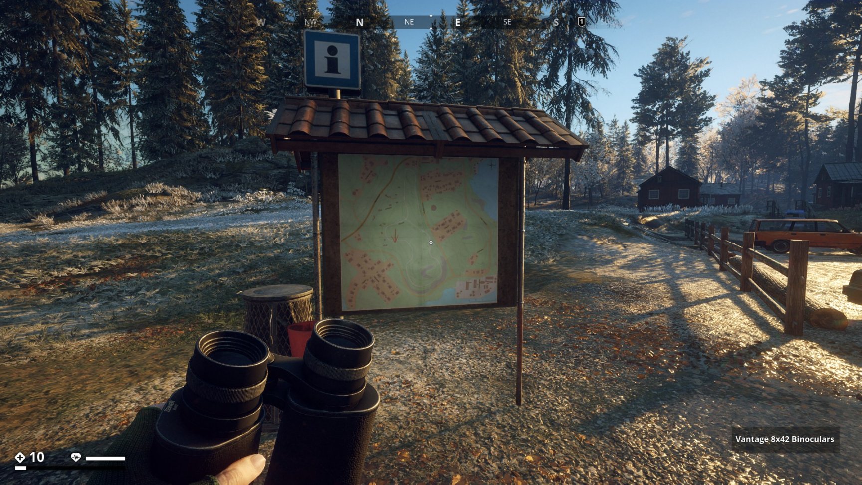
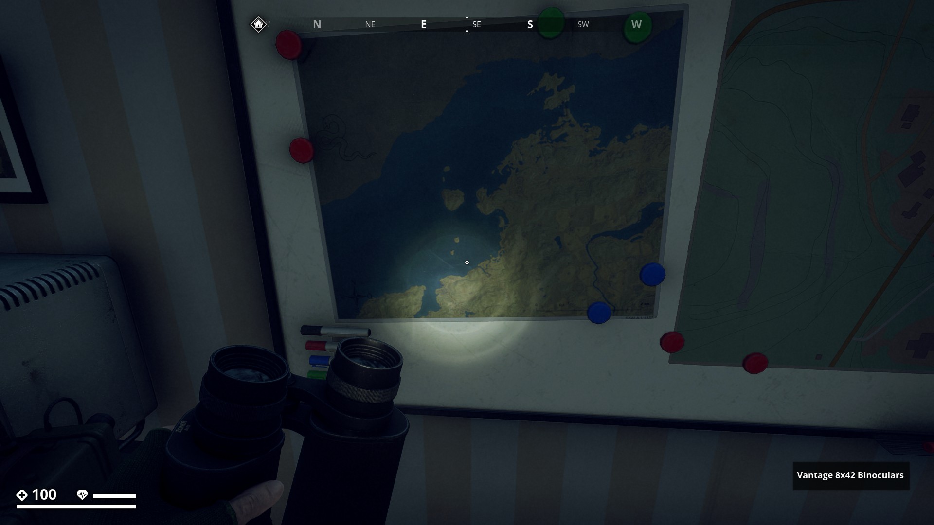
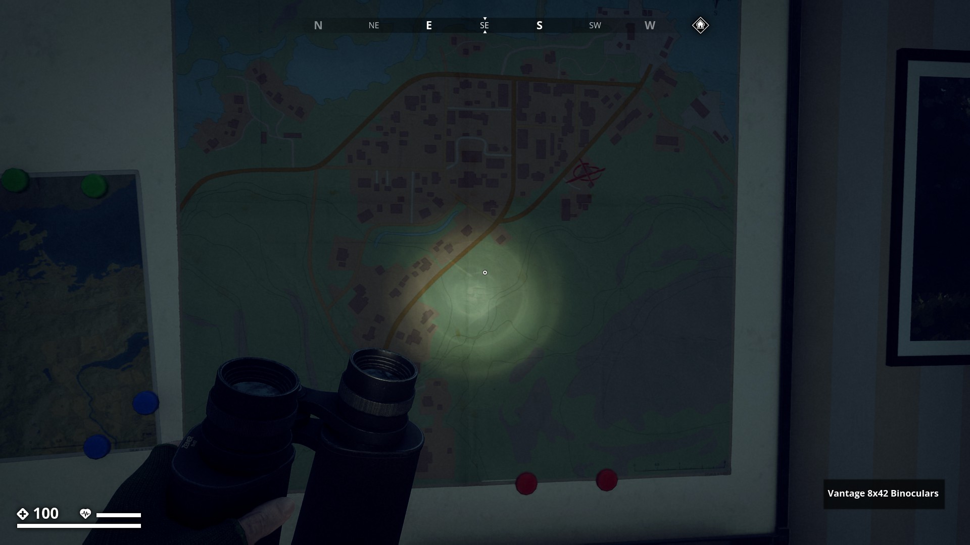
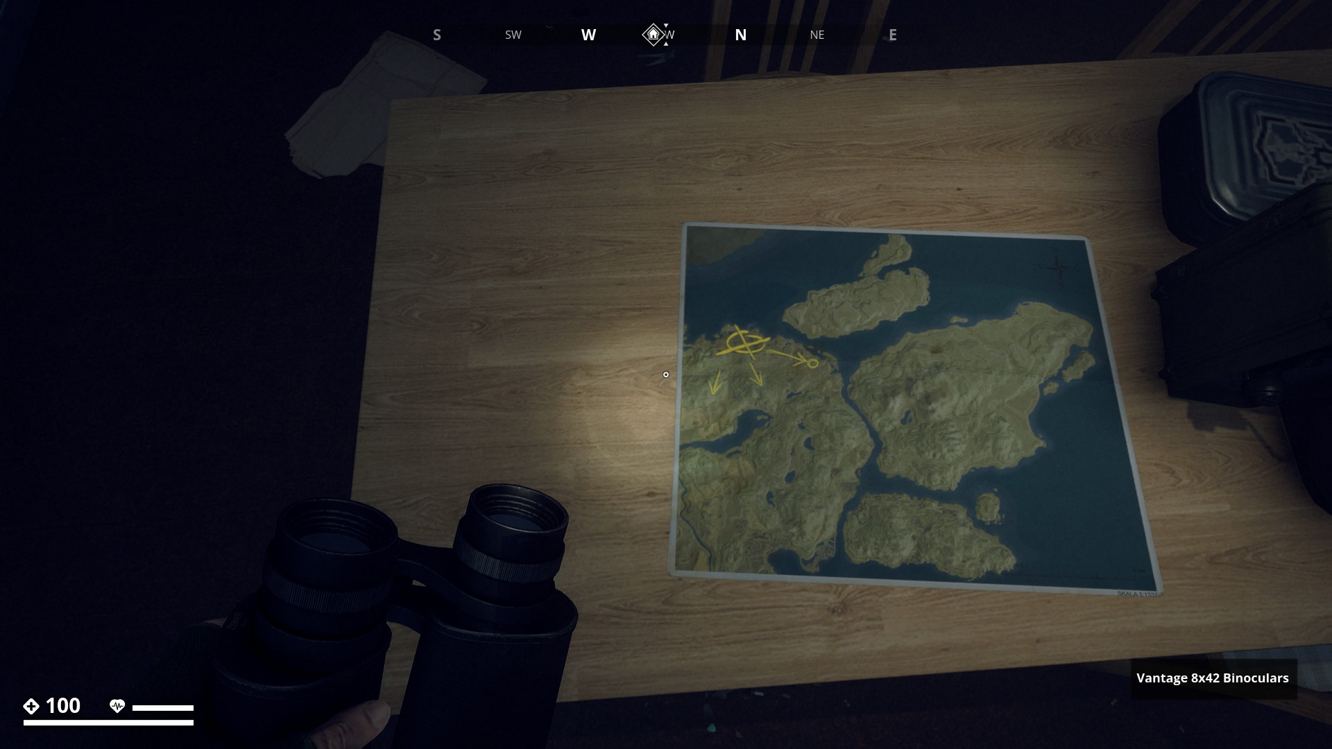
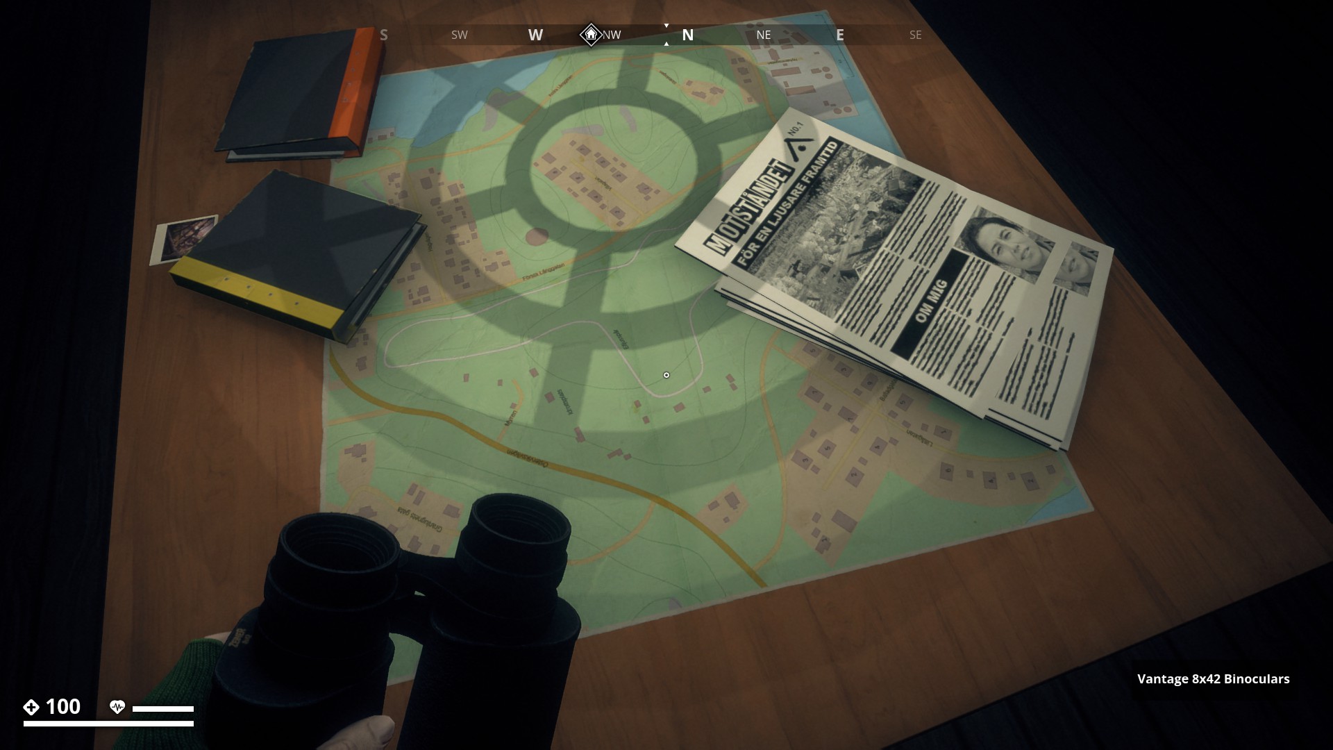
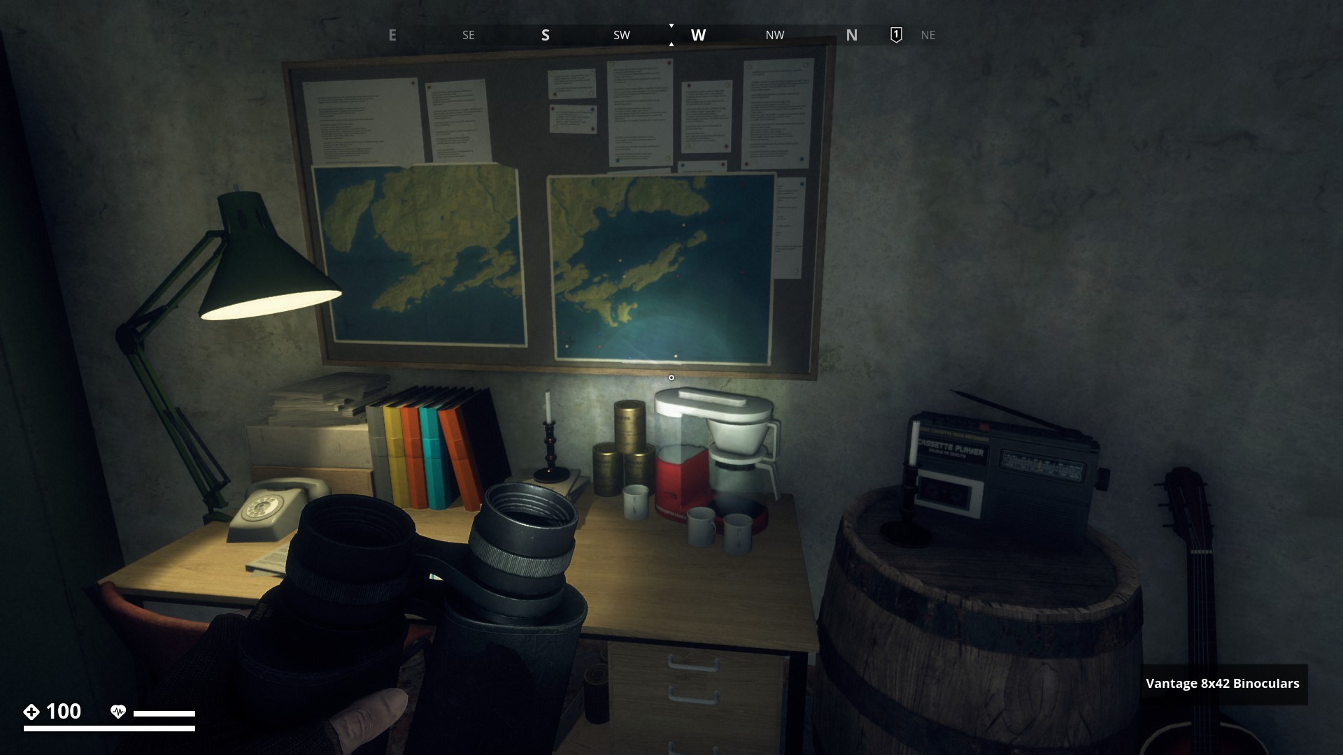
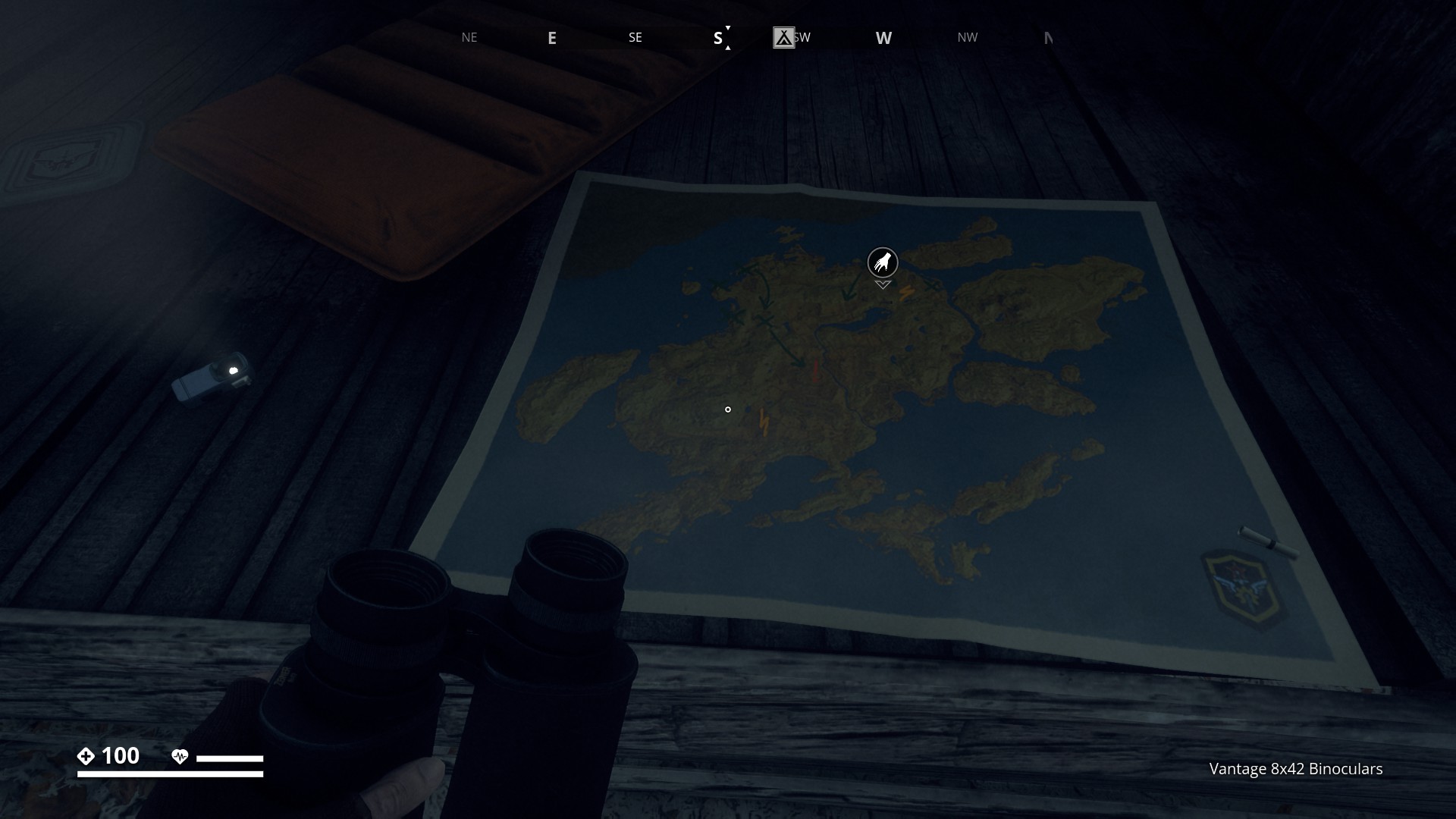
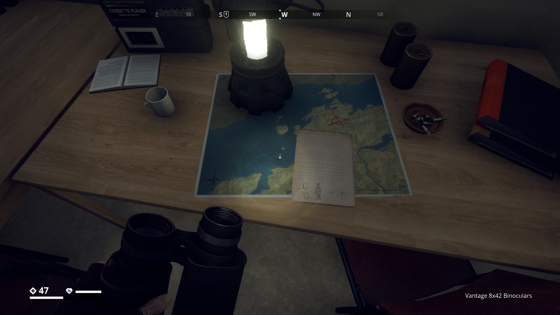
Route 17: In-game Maps - Click here
Before I lead you through my in-game map route, get ready for a nostalgic journey as we take a look back at the very first map design (2017) for GZ that has recently (March '23) been shared with us by our community manager. This amazing view back in time includes interesting real-life reference photos captured by our skilled devs. It’s truly amazing to see how this virtual world has grown and evolved into a masterpiece over the years. (Source: GZ Twitter series “Looking back down Memory Lane”)
Non-ingame maps
Later we got a Comparison Picture between 2017 and 2023

2 Old concept maps


So, take a moment to appreciate the stunning transformation that has taken place as we delve into the history of GZ.
![]()
![]()
Collectors edition cloth map A3 size
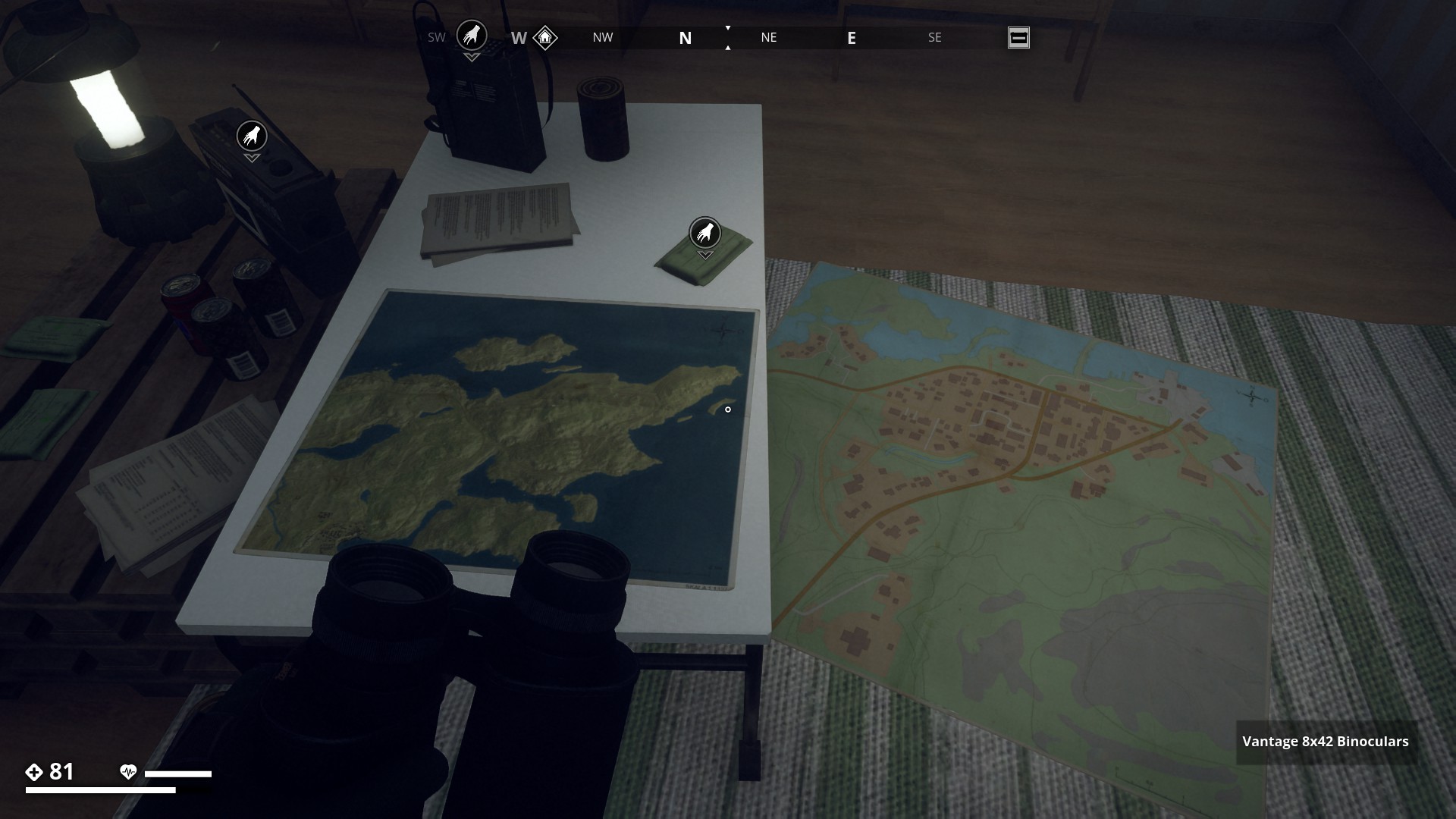
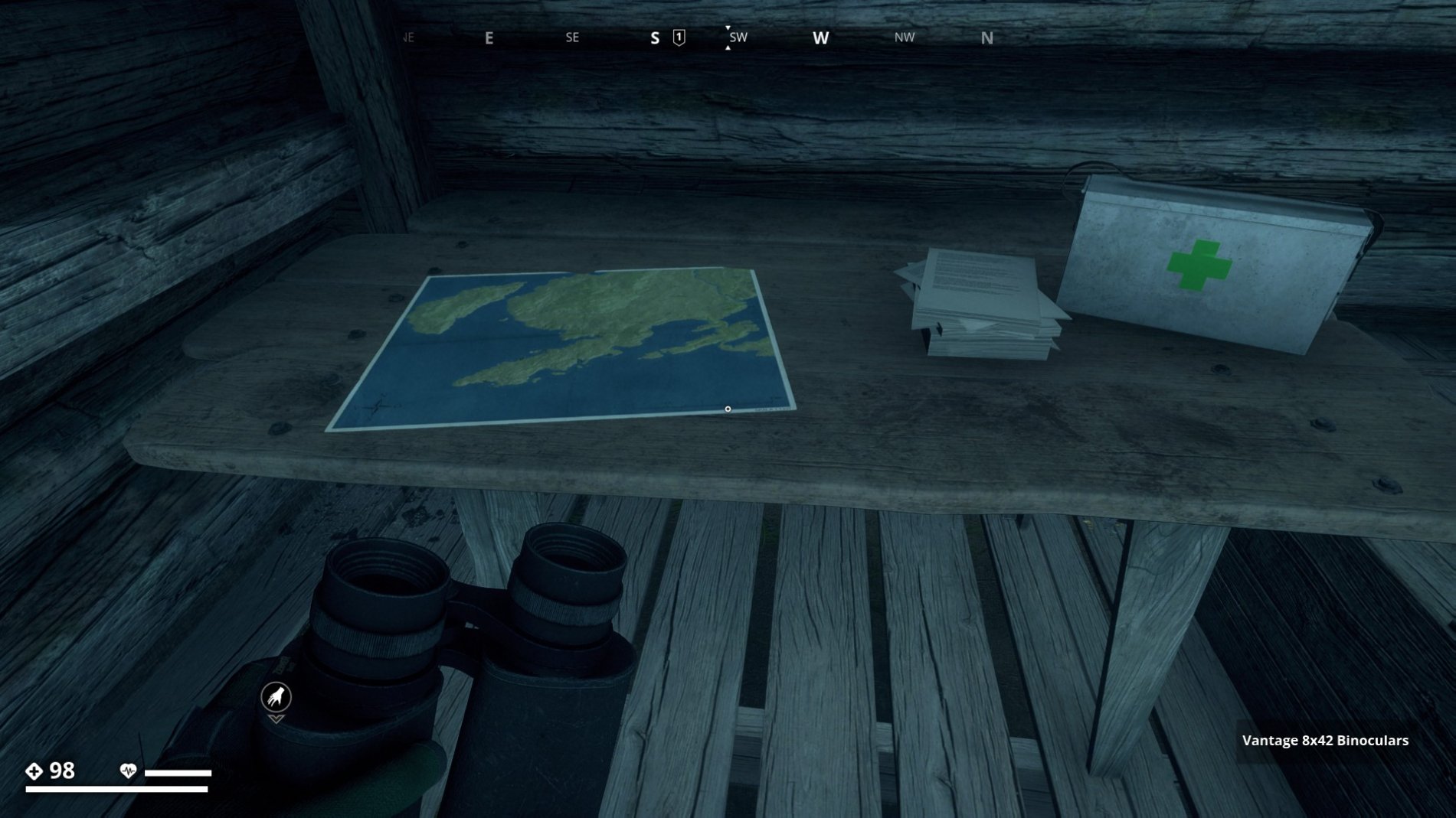
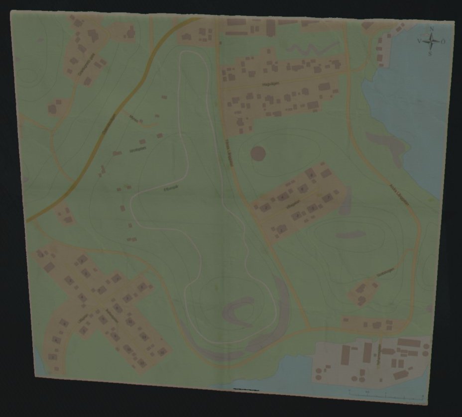
In-game Maps
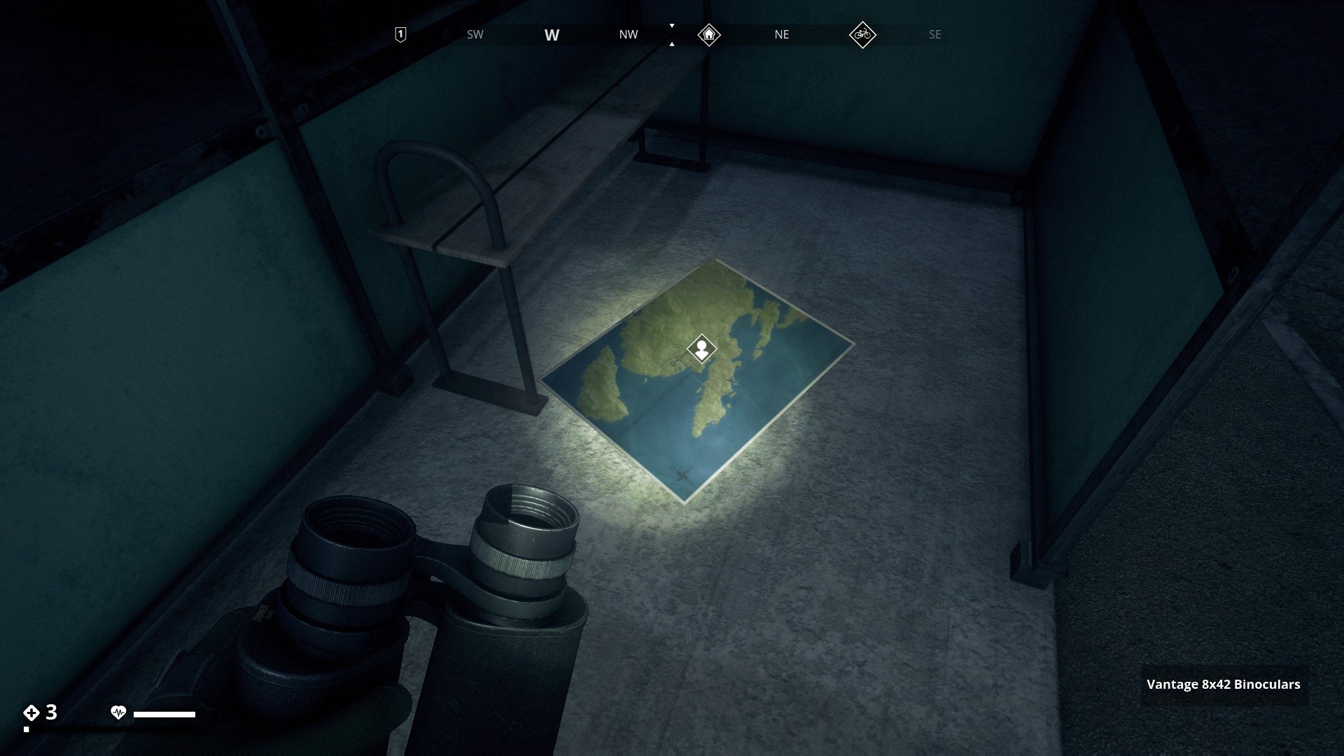
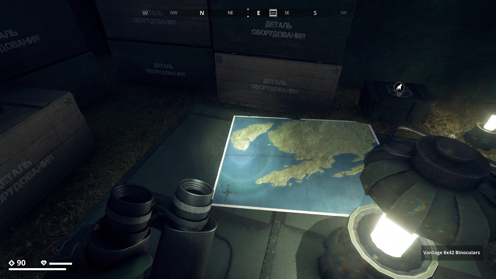
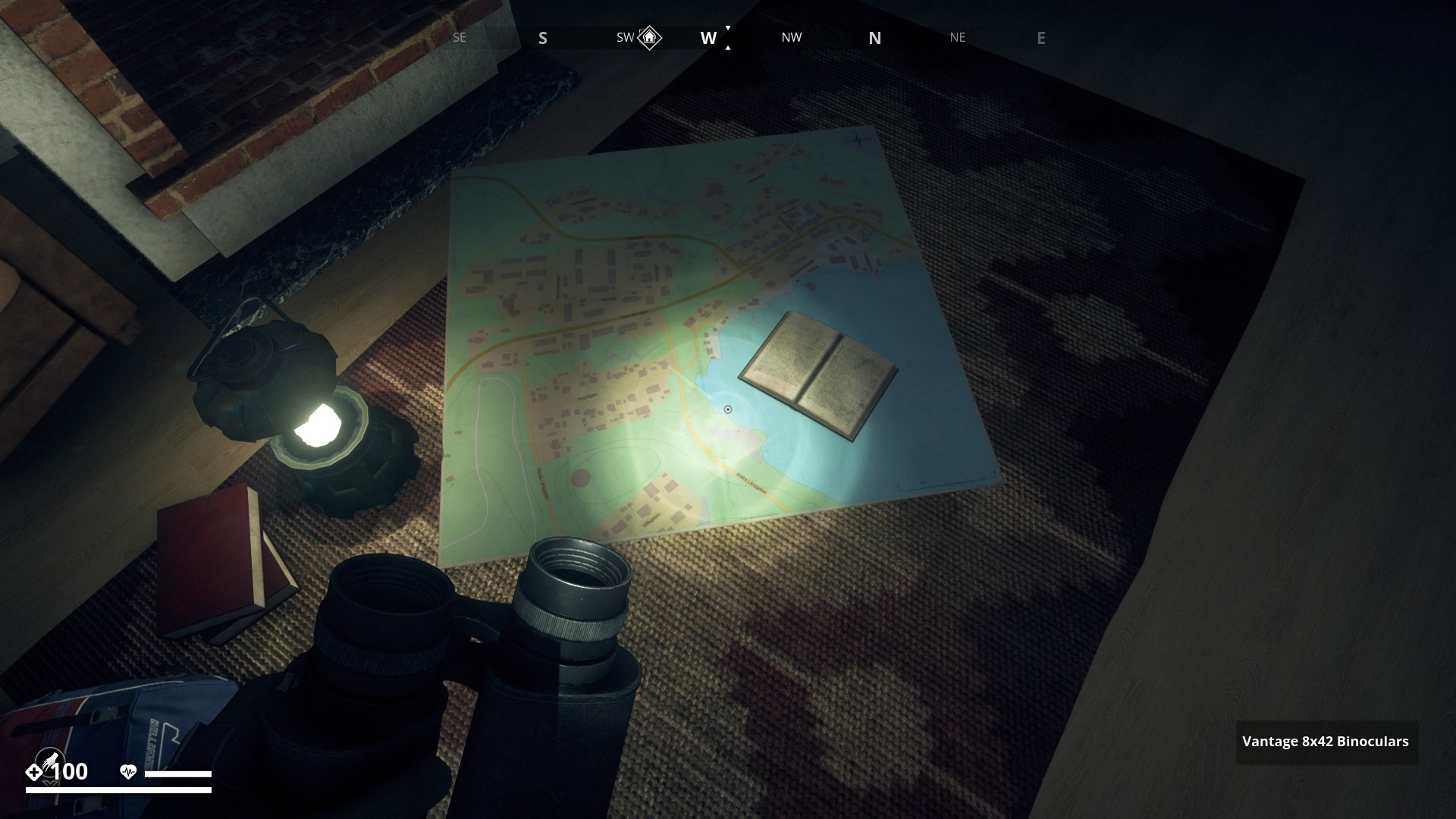
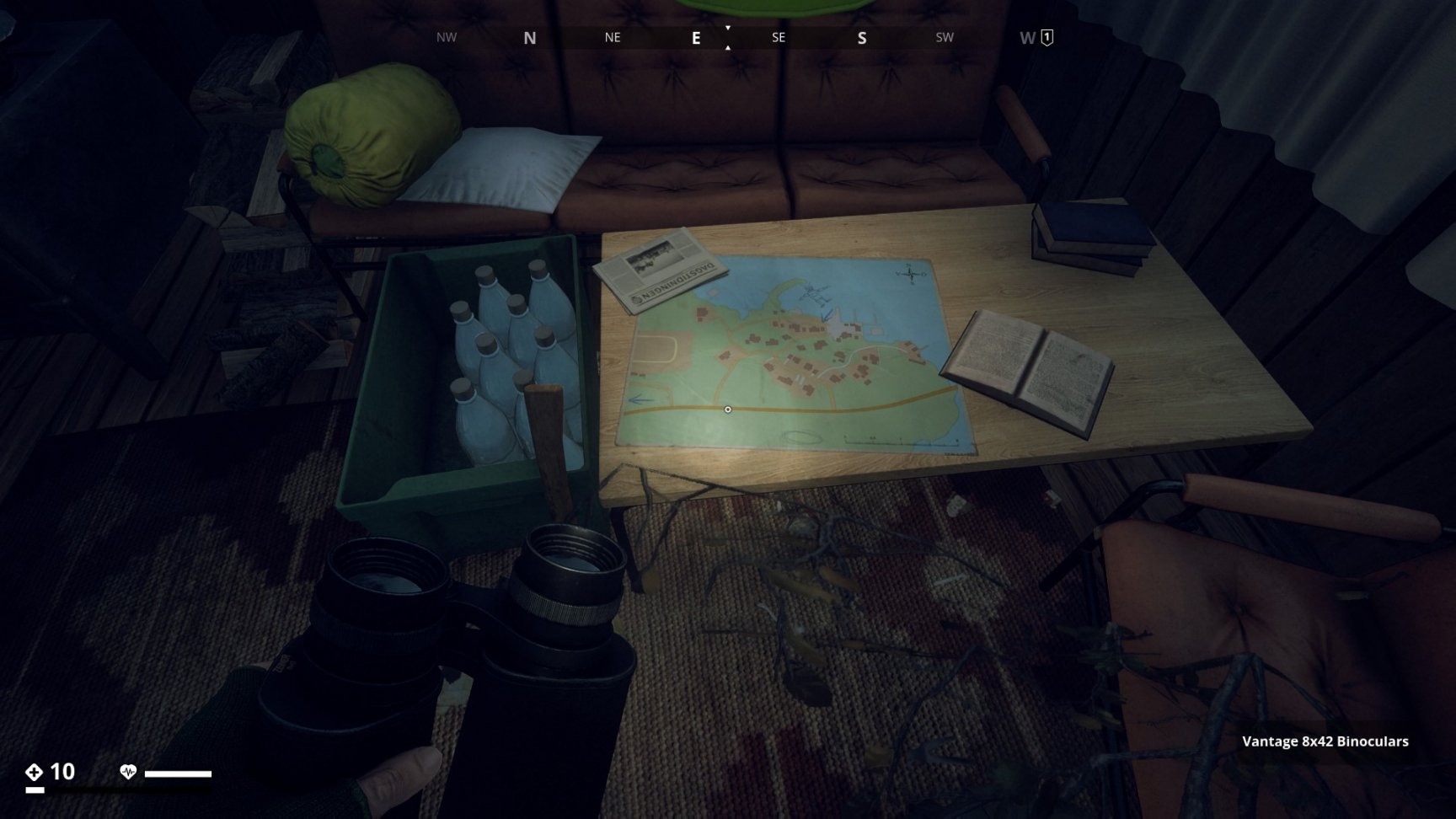
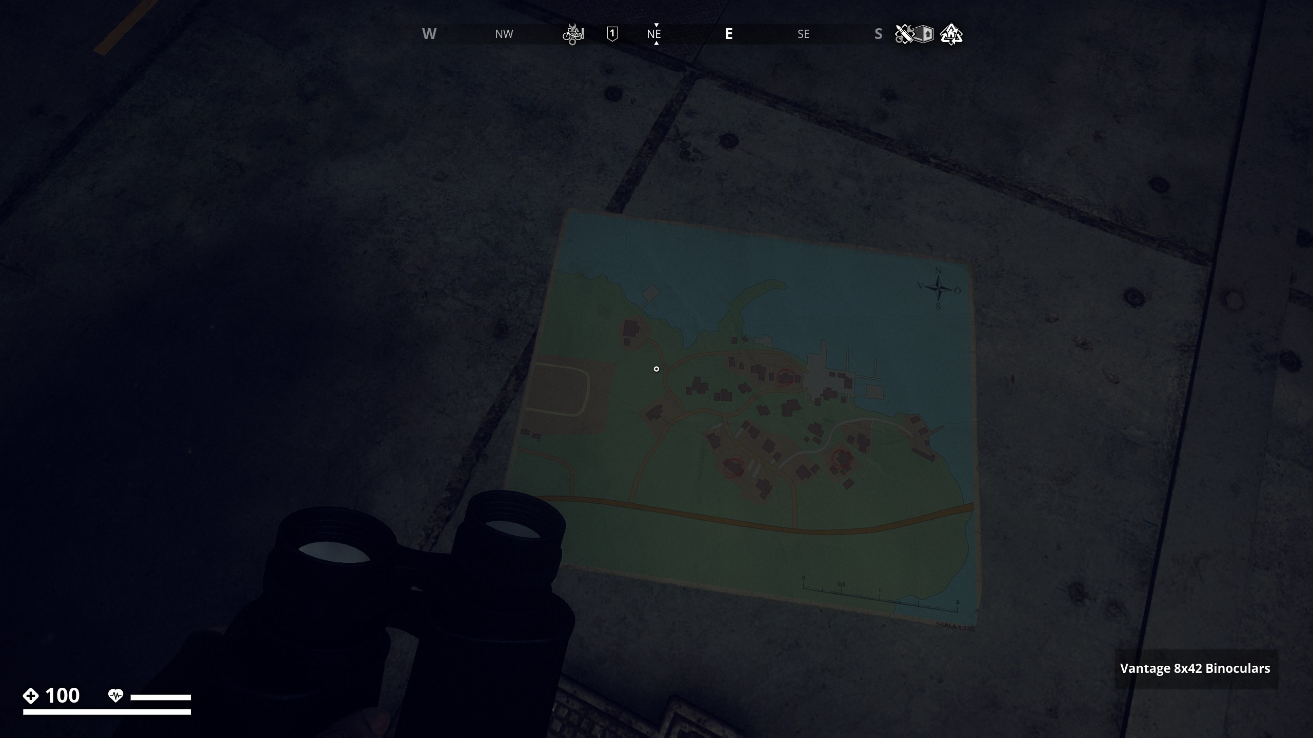
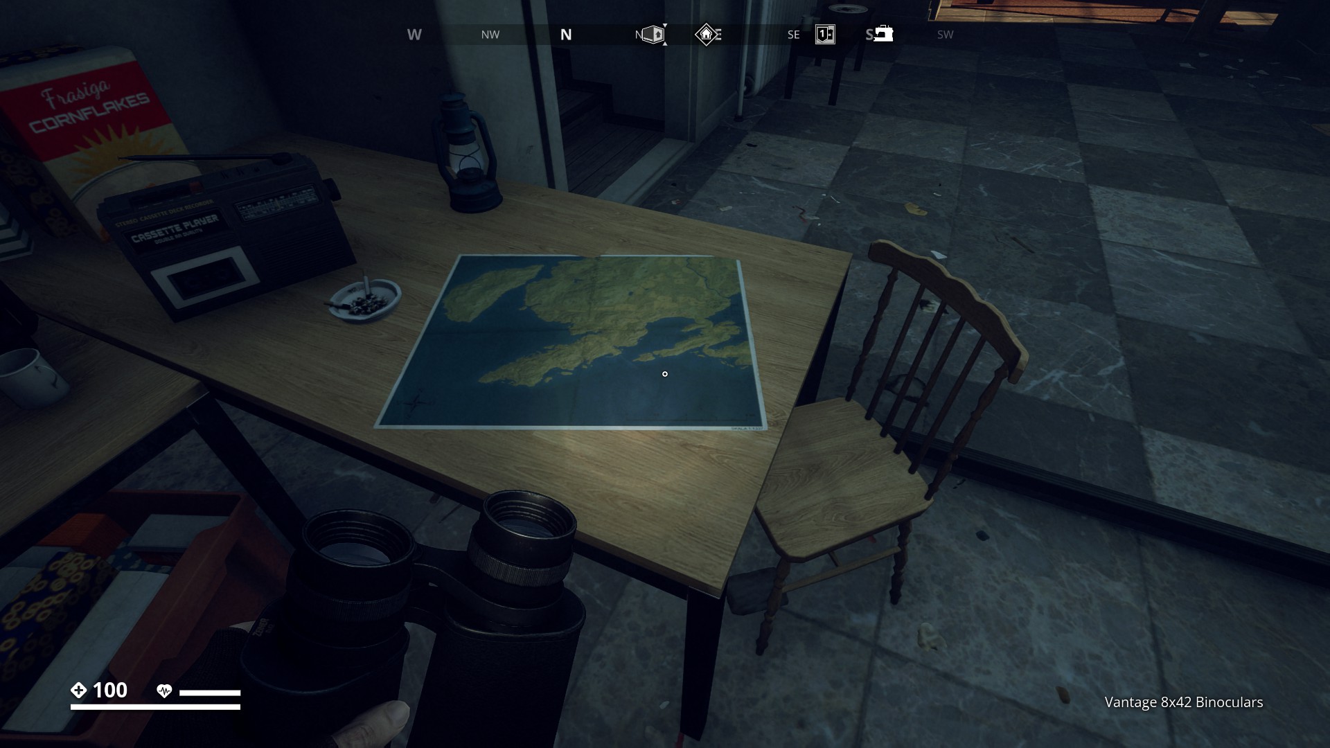
First Map we find in the game is found on table in Yittervik safehouse
▼

This map is part of the side-mission “No rest for the Weary” you find it in a bus-stop at Kålleby.
▼
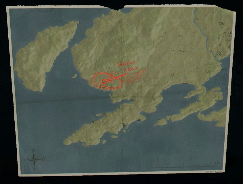
When you picked up the map above and look at the mission items, it shows you the map with a place circled in red and the words “Sakert Har?!” Meaning: “Safe for Now?!”
▼
This map is located on a outside table in Masskär resistance base.
▼

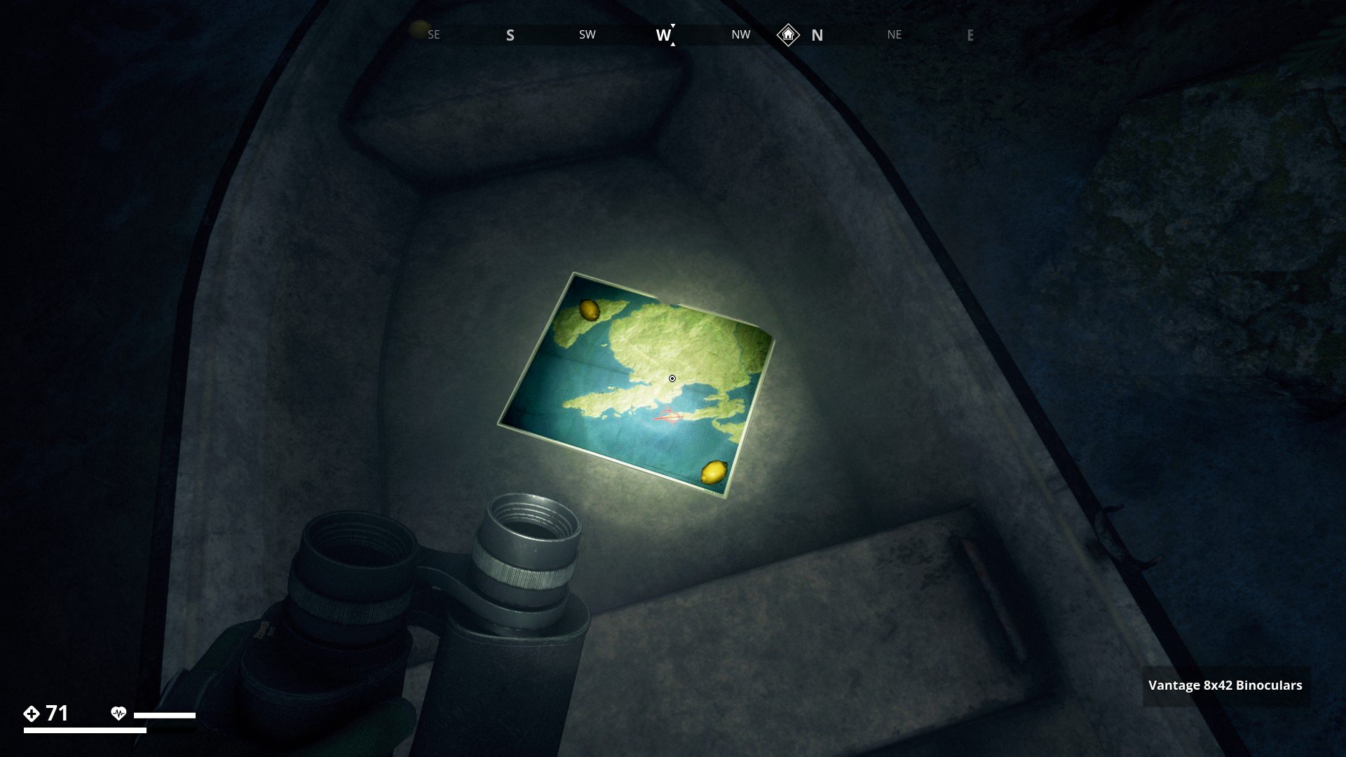
Another map (with lemons?) is found in a boat in the cave on Masskär.
▼
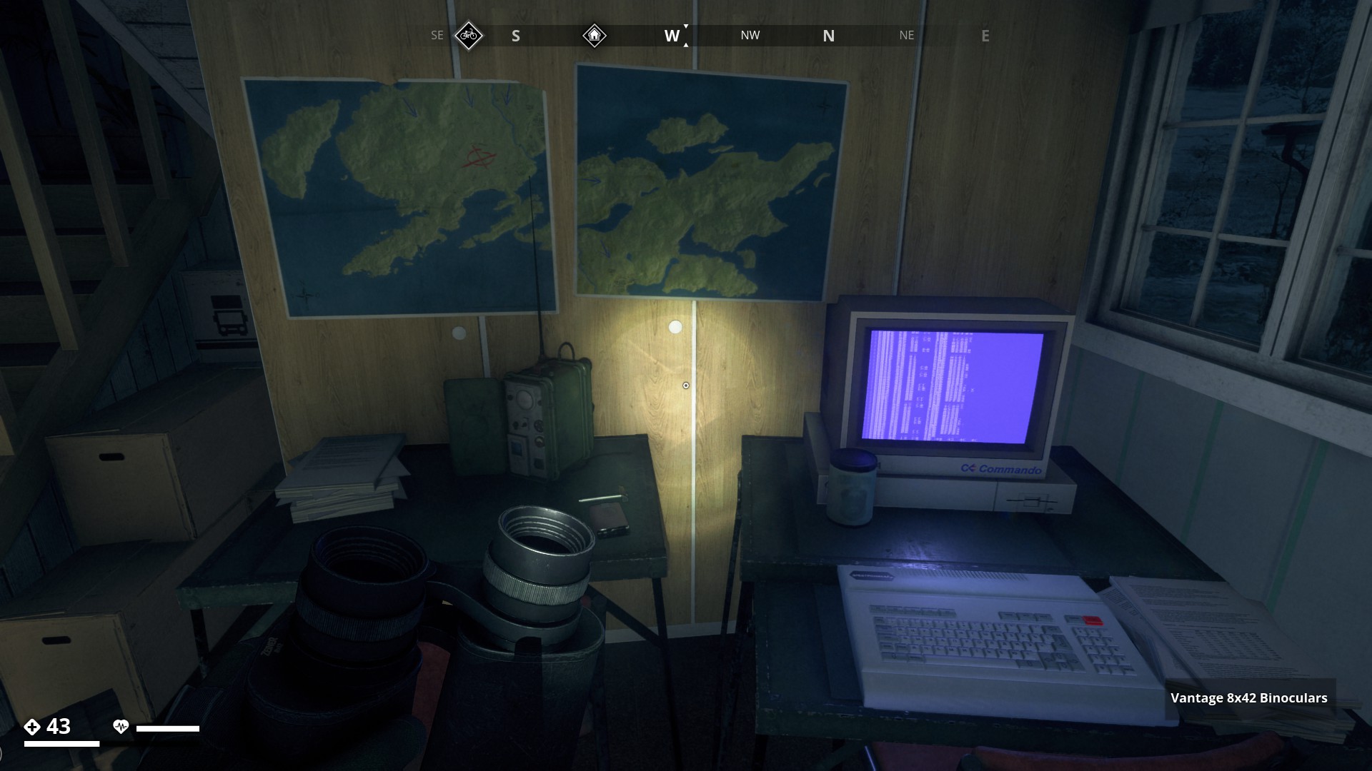
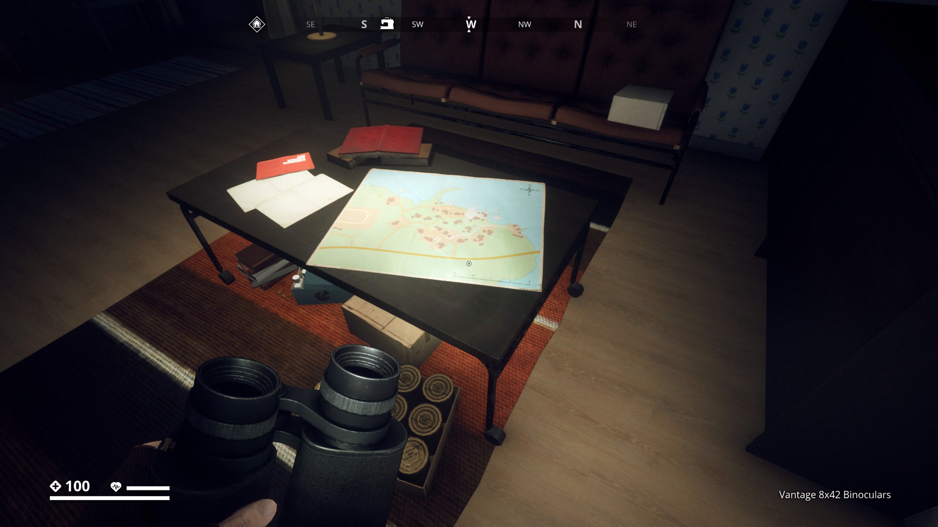
Two maps this time on the wall in a house in Stenbacka, Farmland Region.
▼
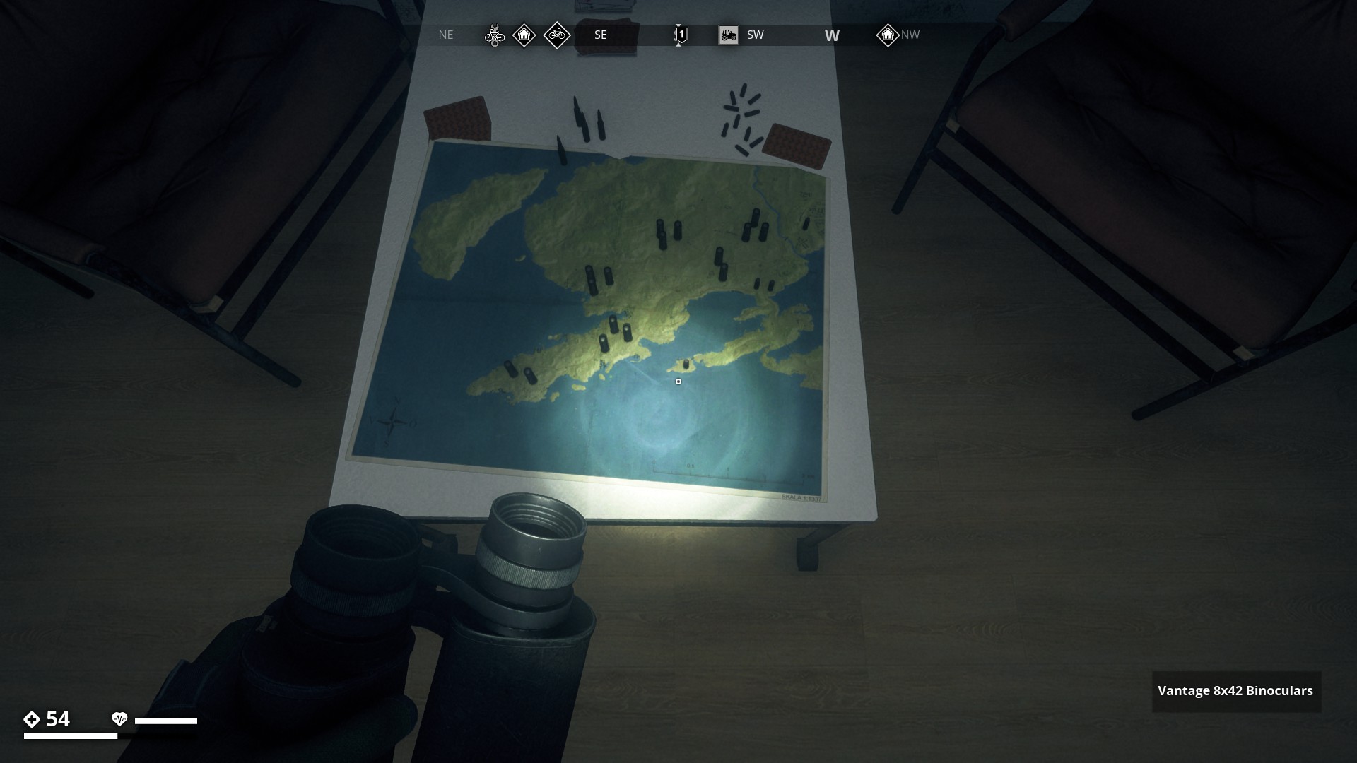
The map at Dyvik has bullets on it, perhaps indicating machine activity at those locations.
▼
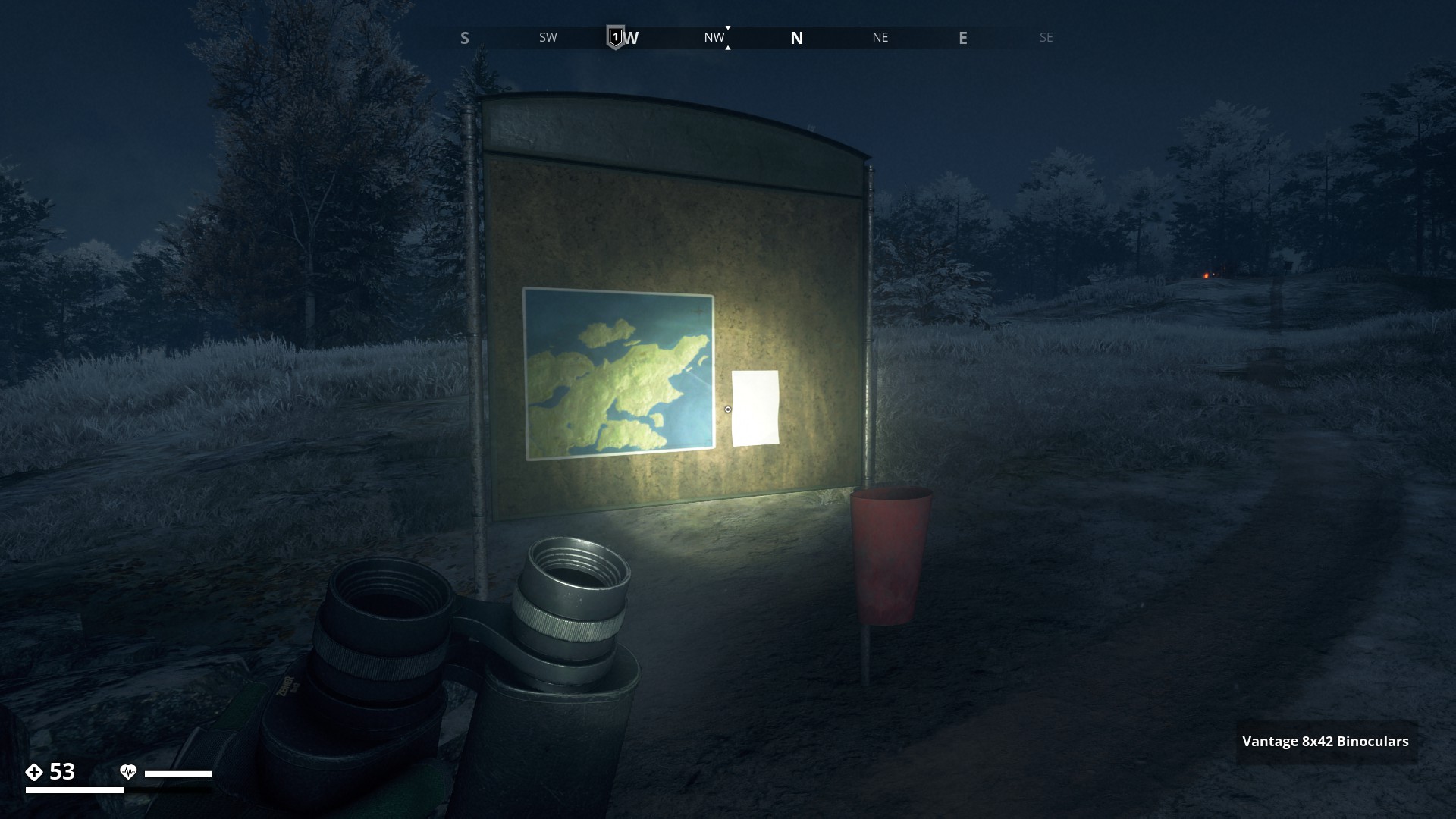
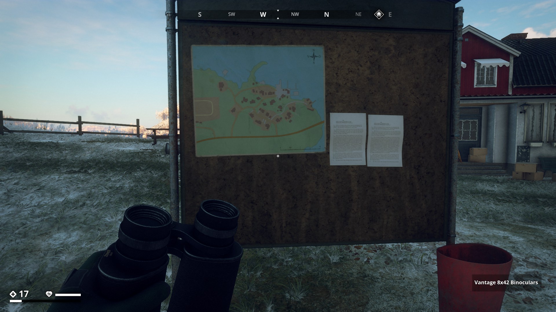
Map on billboard on dirt path to Alvas Stenar in Farmland region.
▼
This Map in located in Resistance base at the Ring Fort in Farmland Region.
▼
Another map is found in a house in Boo, with another map on the floor of Hagaboda.
▼
A map on a billboard in front of the Maze next to the Björntunet Hotel on Himfjäll Island.
▼

Another map I found on a picknick table in Fiskebäck in the South Coast region.
▼
This map I found in a tent at the Soviet castle site in the Farmland Region.
▼
This map was on a table in a cabin at the trenches in the Farmland Region.
▼
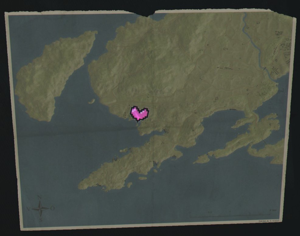
This, Veronica’s map is a mission item in the FNIX Rising side mission “We are the resistance”, and points to Ängsnäs Manor.
▼
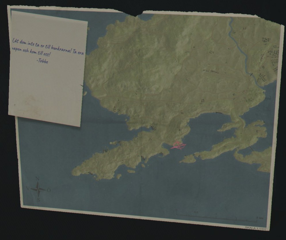
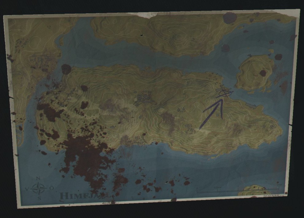
Map pointing to Stenungsnäs picked up from a Billboard in Äsö. Mission item in side mission Beyond the Barricade. The note says: “Don’t let them take you to the bunkers! Get your weapons and come join us! Tobbe”.
▼
Map of Himfjäll found in Enhyttan Camping grounds in the DLC side-mission The Response.
▼
Map of Himfjäll found in shop on the Österhallan Marine center pier to start DLC side mission Stalemate.
▼
Mission item in Mission Road to Salthamn. It’s found on the wall in the Salthamn Shelter.
▼

Mission item in Mission The Home Team. Map is found on chest at Saltvallen IP.
▼
Mission item in Mission Over and Out. Map is found on a table at Saltholmen Naval Base.
▼
Mission item in Mission First Contact. Map found in car on Iboholmen Castle parking lot.
▼
Mission item in Mission Flying Objects. Public Map found on Billboard In Lillå.
▼
Mission item in Mission Radio Silence. The map is found in the Uttern Warboard room.
▼
Mission item in Mission The Ringfort. Map is found in Calle’s Cellar at Måsskär.
▼

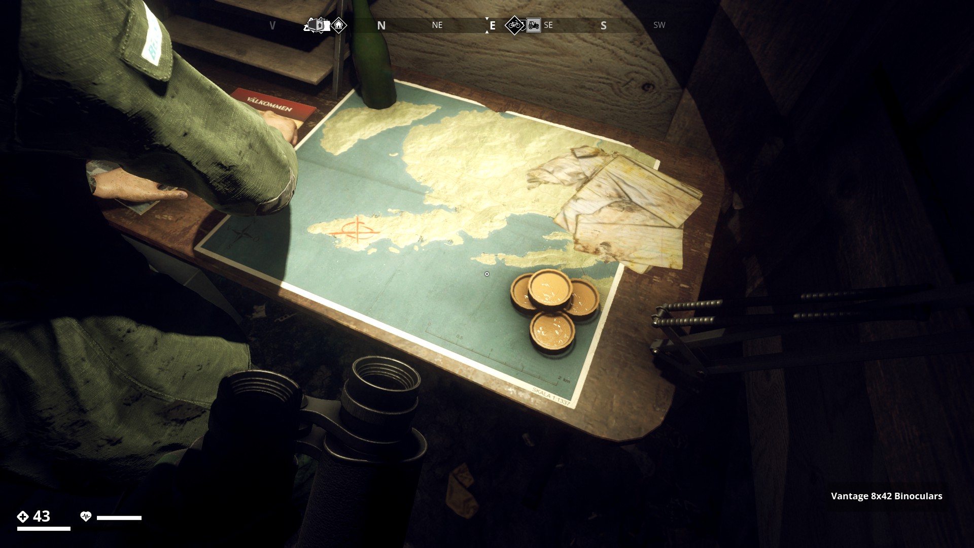
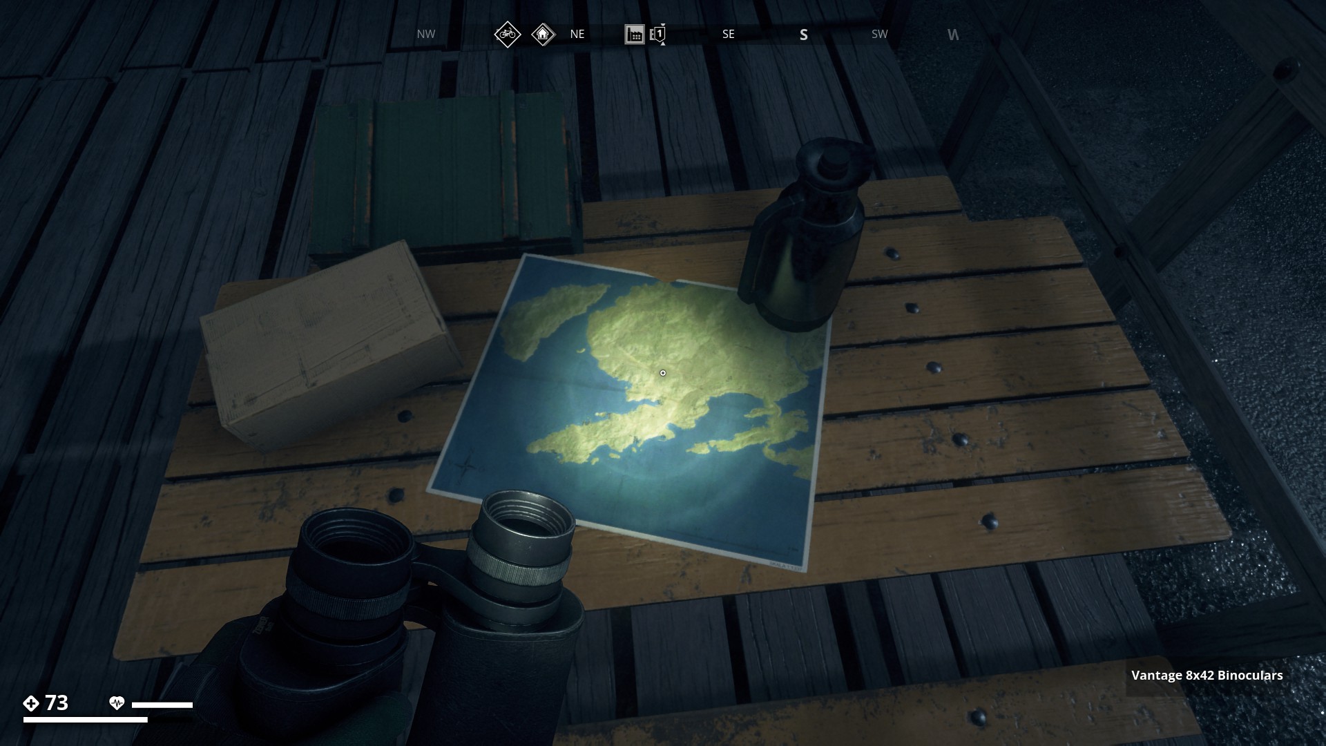
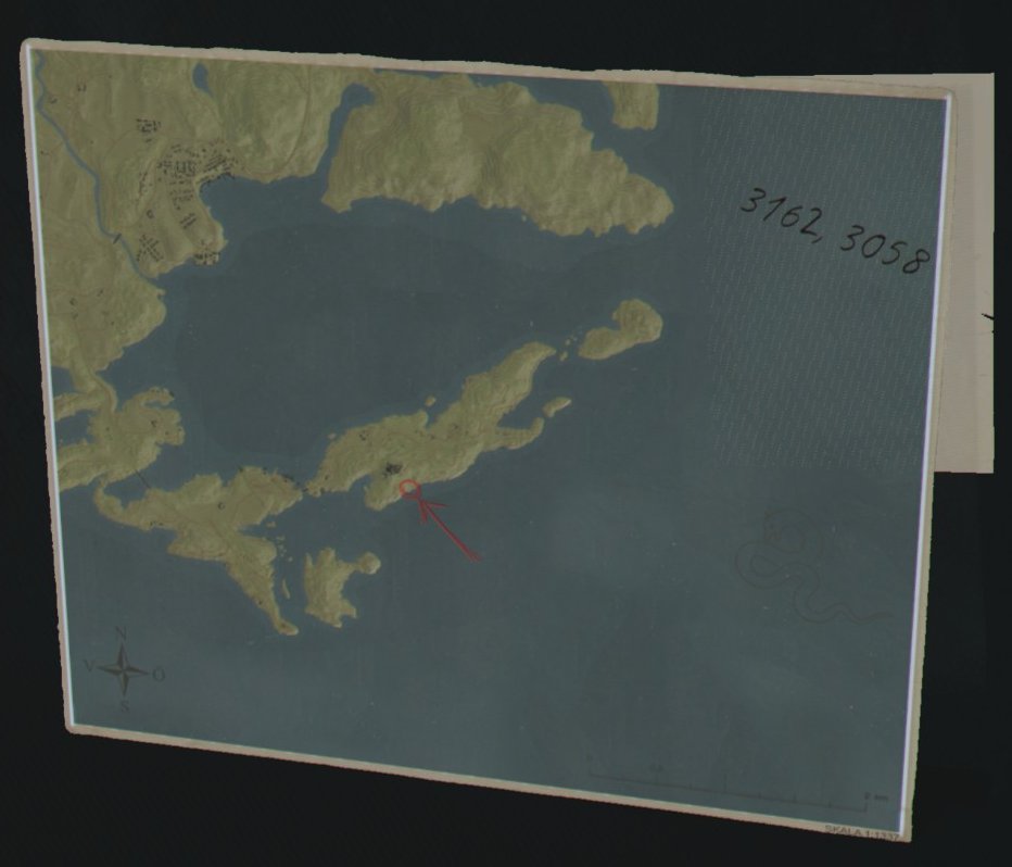
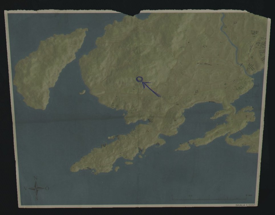
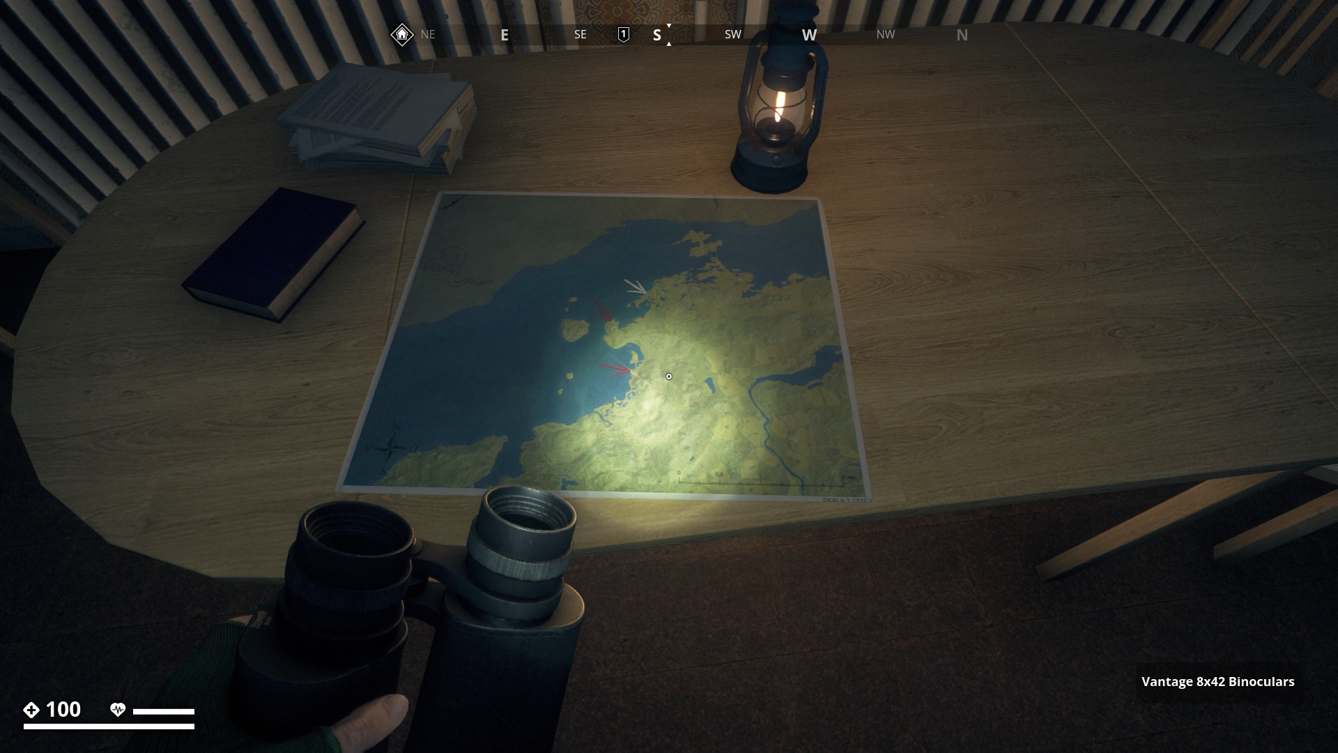
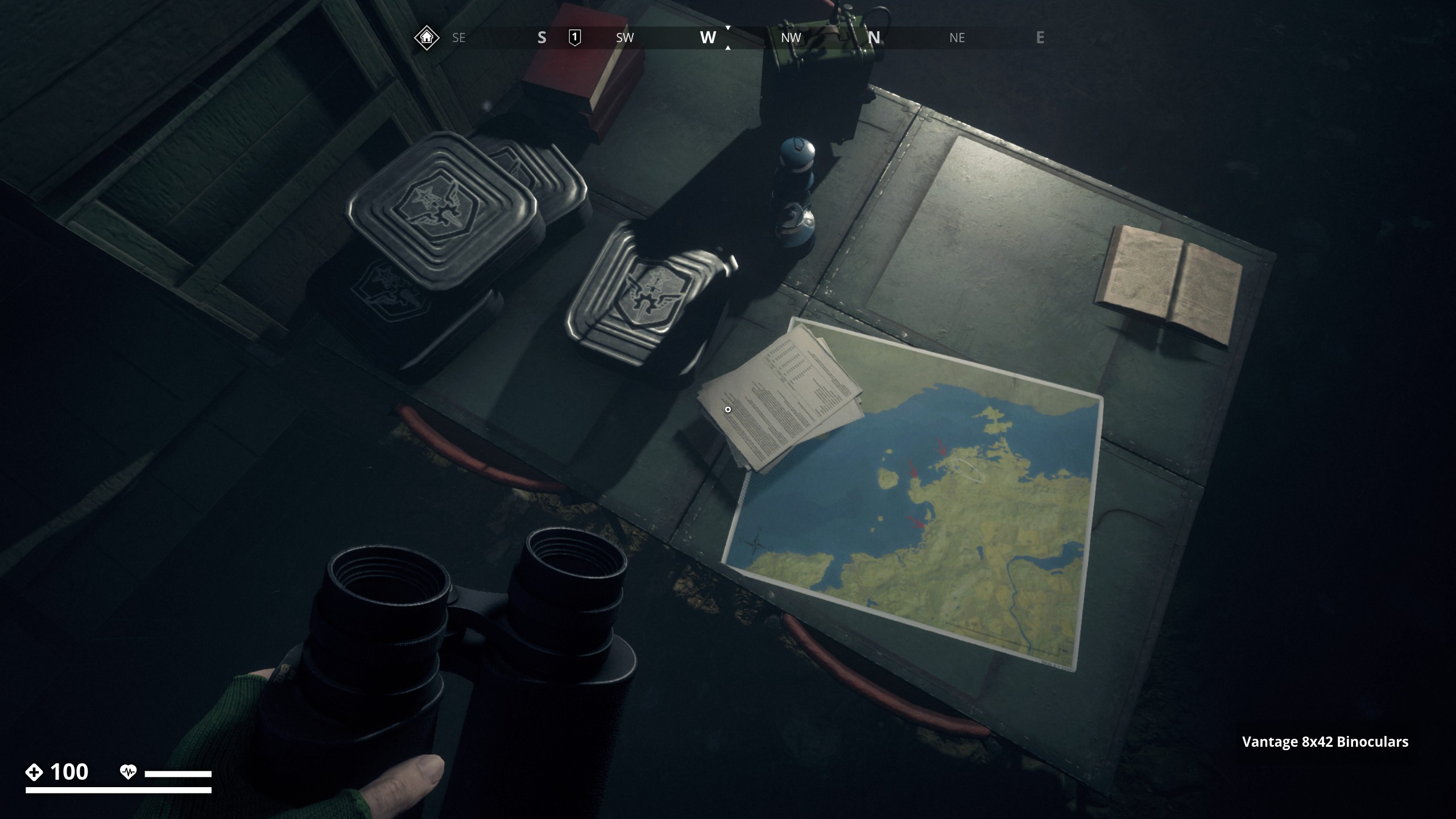
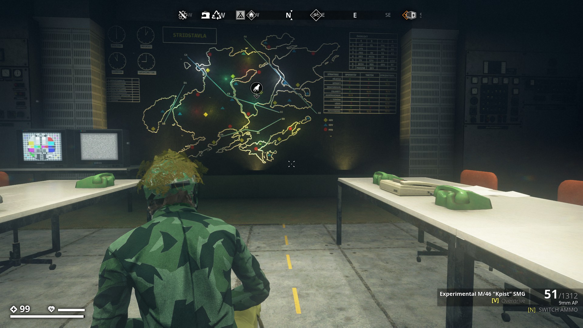
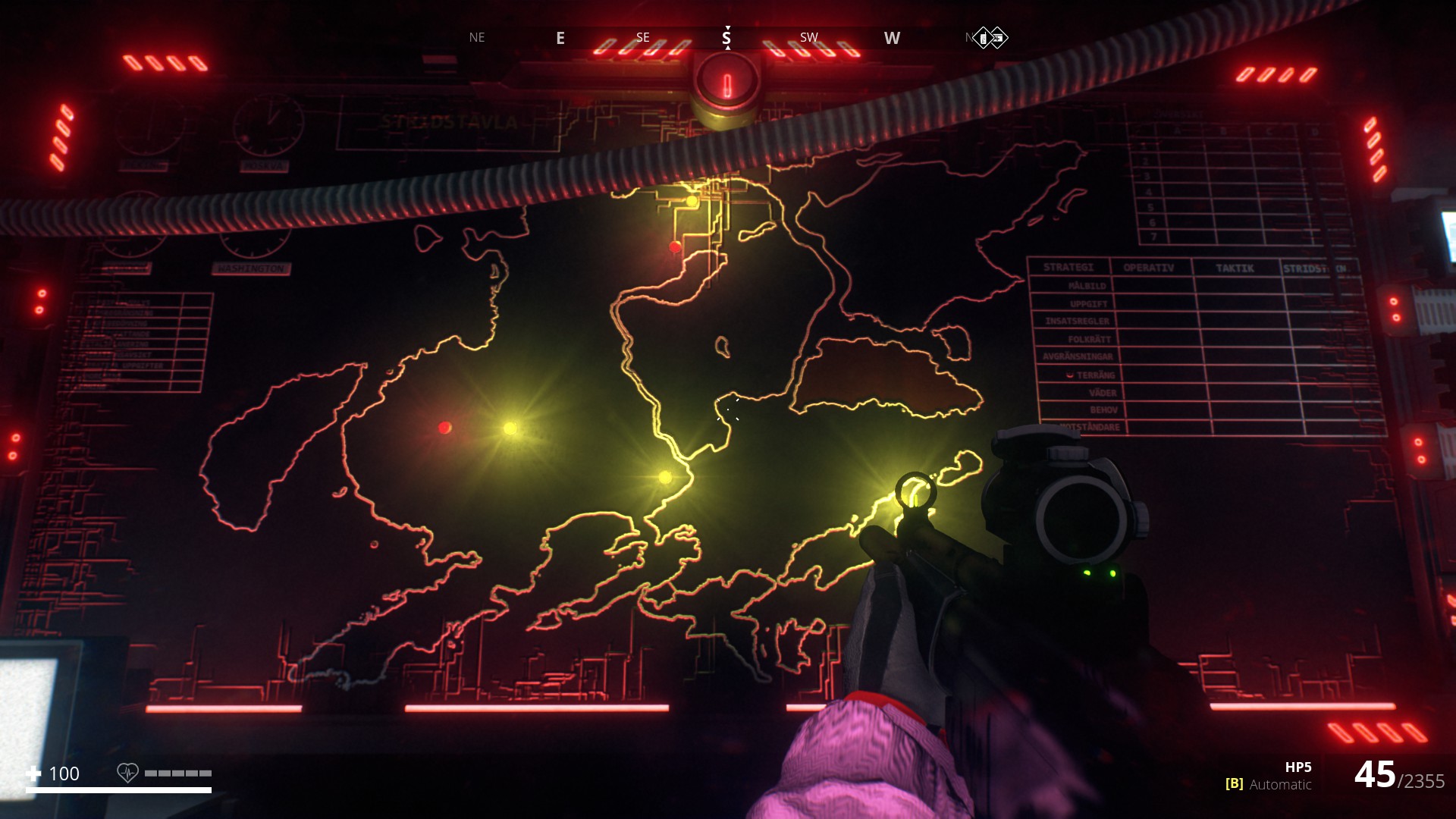
Map of Power grid - Mission item in Mission “Test Run”. The Dot-Map is rendered after hacking the FNIX Supercomputer.
▼

Map of IGA - Mission item in Mission “The Gas Factory”. (I added the text the the map)
▼
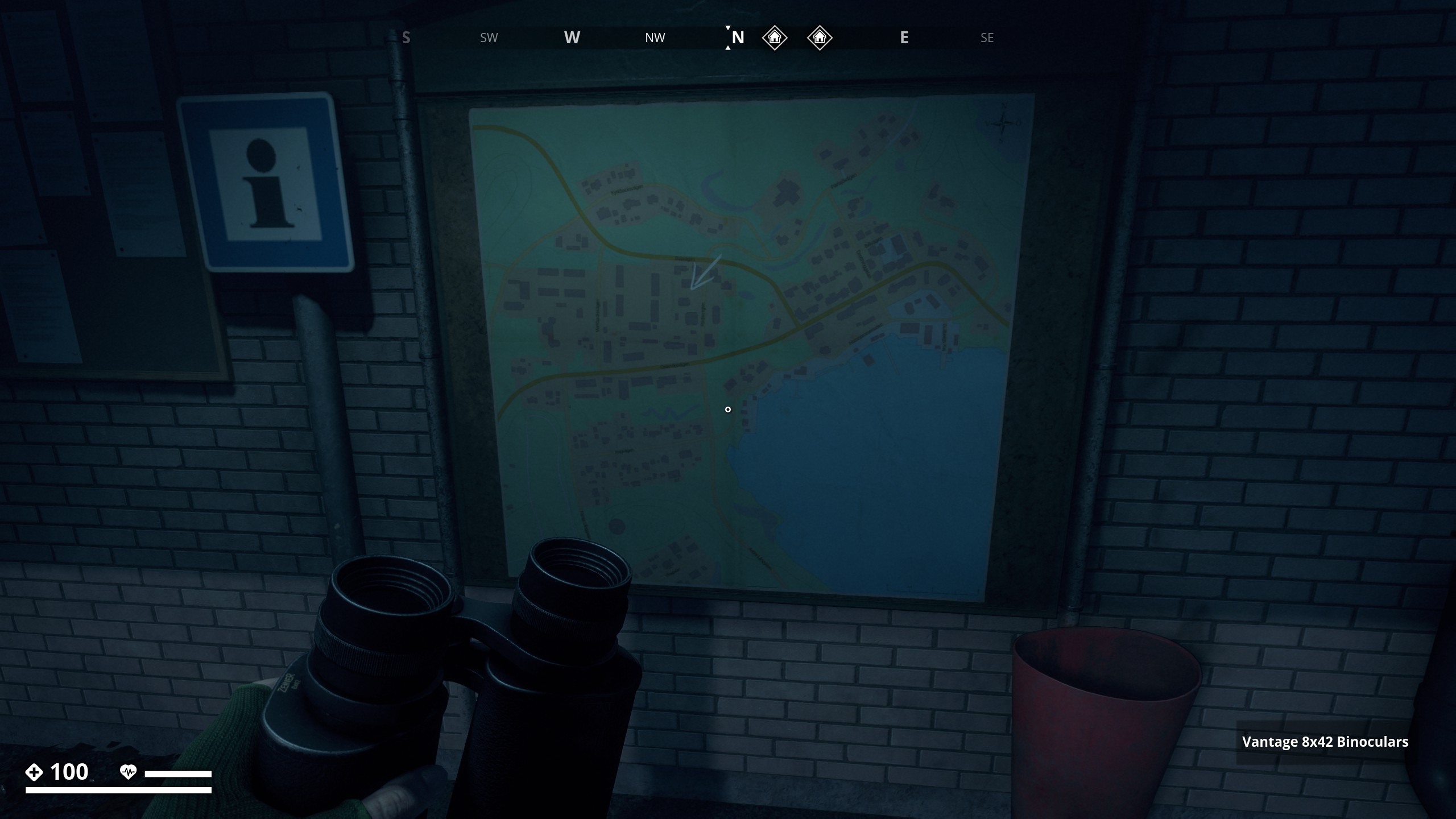
Map on Billboard in Osterviks hamn
▼
Map on Table in Dammtorp
▼
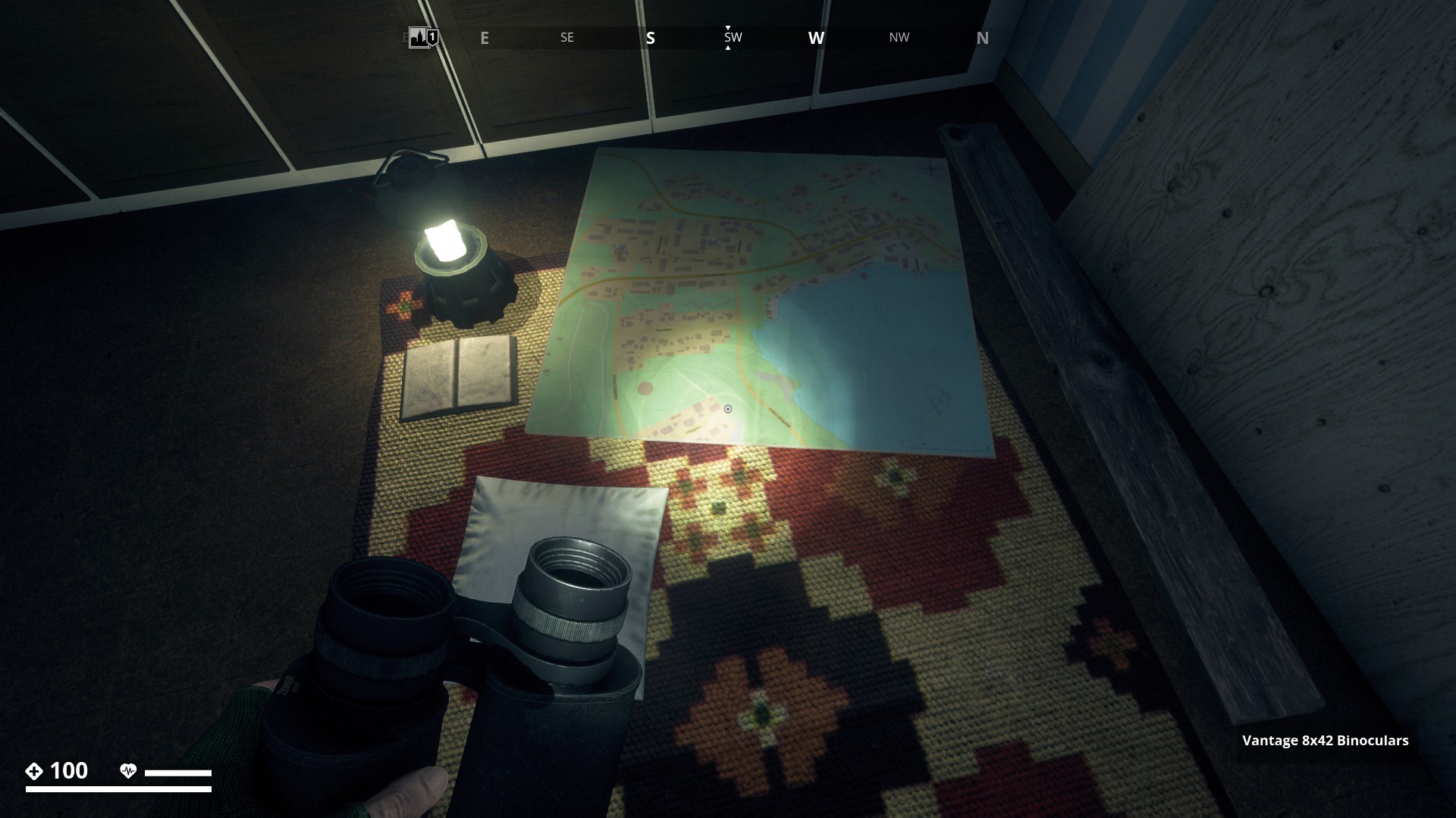
Map found near Home base on Tylöveden Mountain
▼
Map of Salthamn found in Littorp Forest.
▼
Map of Salthamn on Billboard in Helgaryd.
▼
Map of Österviks suburbs found in red house on Parlsjonsvägen near Gamla Stan.
▼
Map of the Marshlands found in Klinthytta Soviet camp, showing Operation Landfall.
▼
Map found in a house in Lilla. (Landfall) It says: Here are dragons!
▼
Map found in a Cabin at Balders Vall (F) (Landfall)
▼
Map on billboard at Balders Vall past the parking lot near Soccer Field (F) (Landfall)
▼
Map of Klinte found in restaurant at Hjortqvarns Sagverk.
▼

Map found in Soviet camp North of Norrmyra. (Landfall)
▼
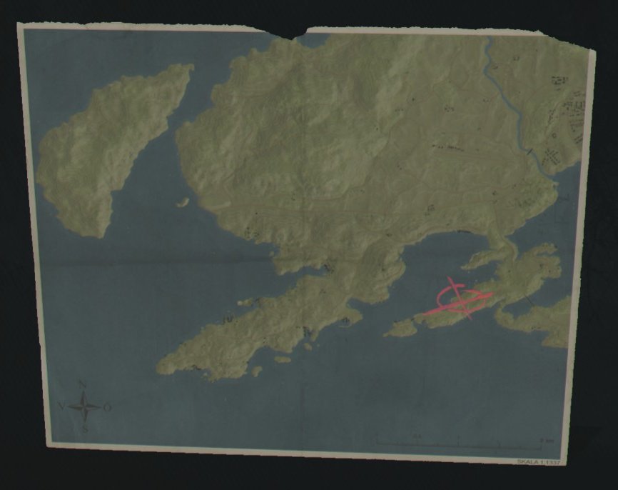
Map found South of Ålnästet
▼

Map of Marbacken found on billboard at a Vårdcentral in Markbacken.
▼
Map of Salthamn found on floor in Anl 144 Vidsele (FL)
▼
Map found in house at Aspenäs in Marshland
▼

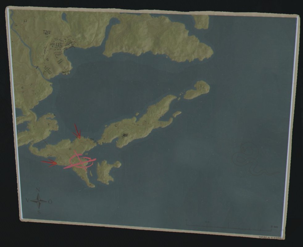
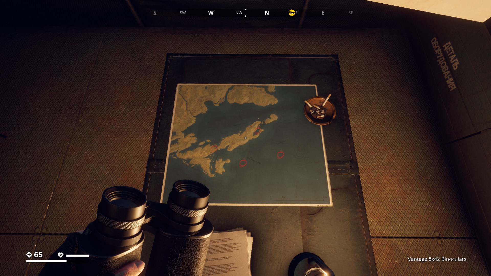
Map found at Landing Zone: Anya (ML)
New Soviet landing zones in Archipelago?
▼
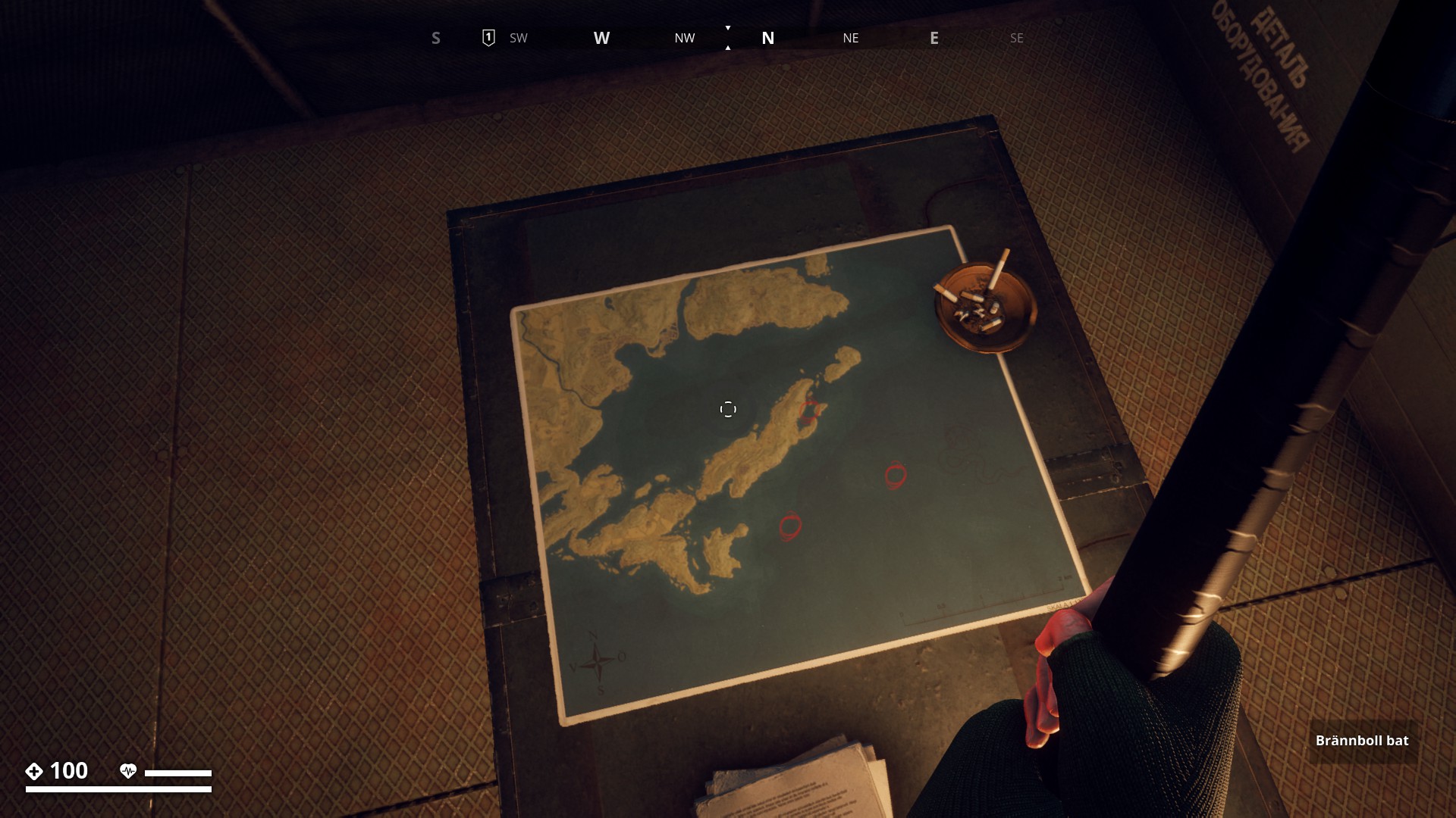
Mystery on Zone: Anya map
On october '22 the map was changed, it now has 4 red circled instead of 3. And strangely there are four Salthamn roads on it as well.
Two maps on board found at soviet Command Quarters in Hagaboda house (New Dawn)
▼
Map found at soviet Command Quarters in house on table. Points to secret Camp.
▼
Map of Östervik’s suburbs in Varuhuset building in Gamla stan
▼
Two maps found in Sillavik lighthouse.
▼
Collectable Map at Wind Shelter (NC) #10 of the War figurines collectables.
- On the map we see in green the planned route which Captain Bolshakov’s company was going to follow, starting from Landingzone Boris to Underground Station C, where then to travel by underground train to the unnamed bunker (!) where now the Crater is.
- We also see 2 lightning symbols, one at the Battle ground of Dyrboslätten and one at the Soviet Trenches.
▼

A map marked with patrol routes for several of Vesslan’s squads. Found during a new introduction to base building Mission called “Building Blocks”. (Feb’23 Update
▼
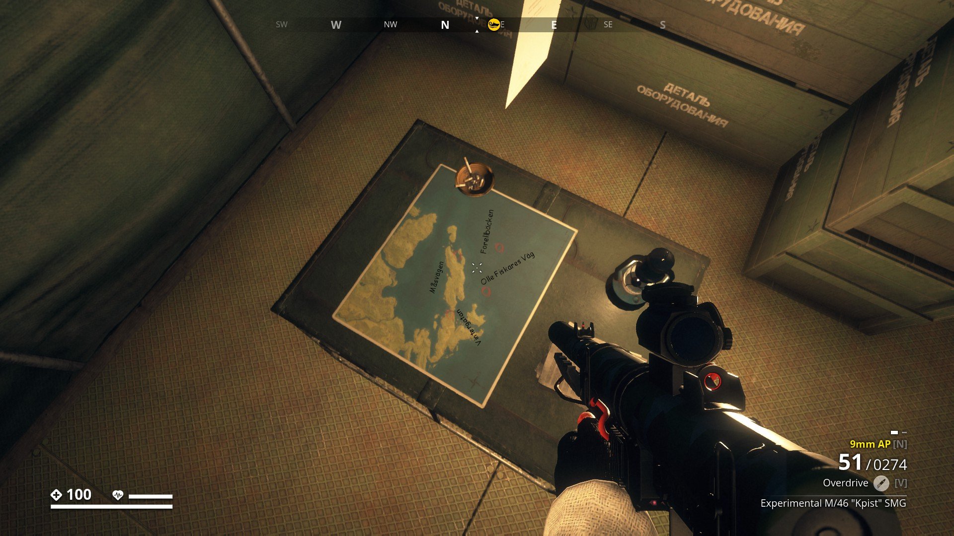
Map found at Myrdalen Watertower
▼
Map found in Vapenkassun at (1383,3900) near Vesslan, (Companion Update)
▼
Map on Table found in Saltholmen Church, (Companion Update).
▼
2 Maps Found in Anita’s house in Salthamn.
▼
2 Maps found at Sparvvillan safehouse on Aspholmen island.
▼


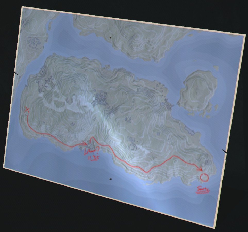
Handdrawn map to Veronika’s hideout in Klinte.
▼

Map found in Veronikas hideout in Klinte.
▼
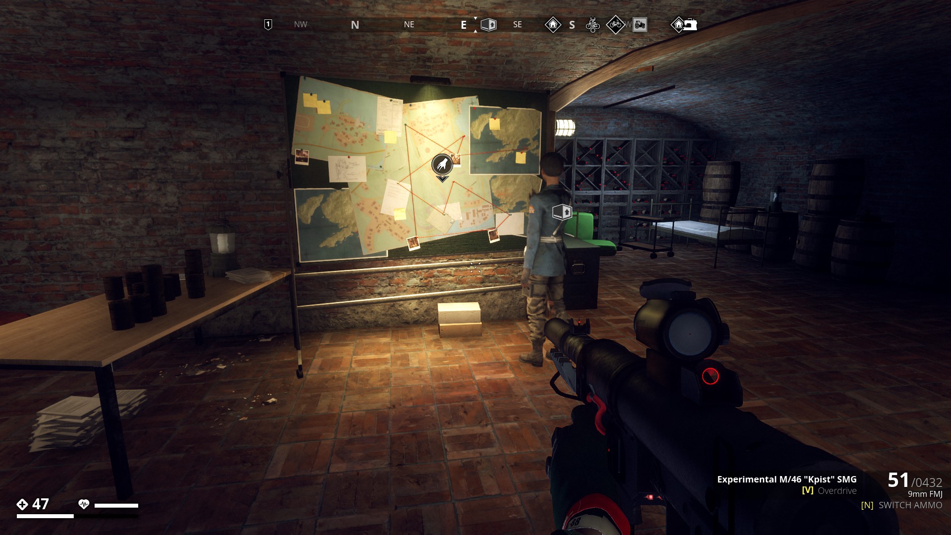
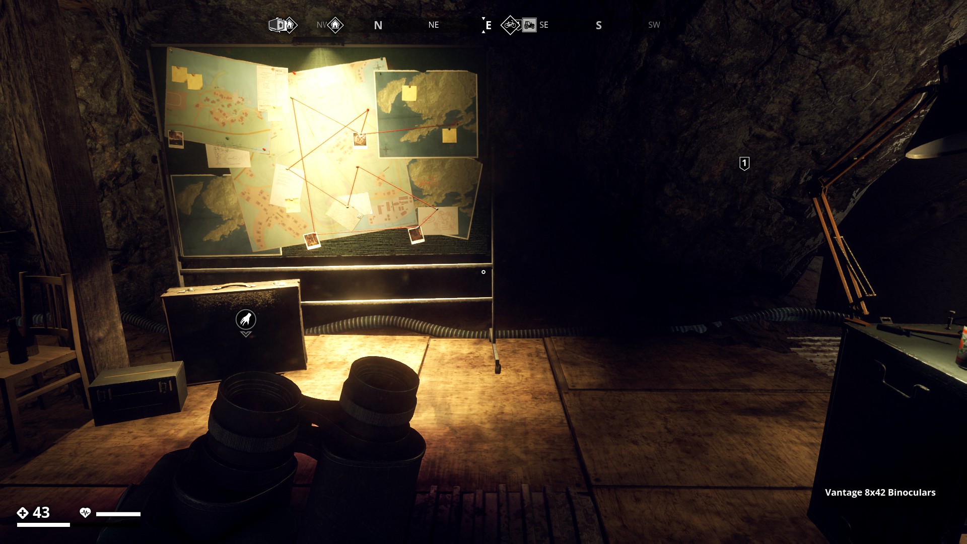
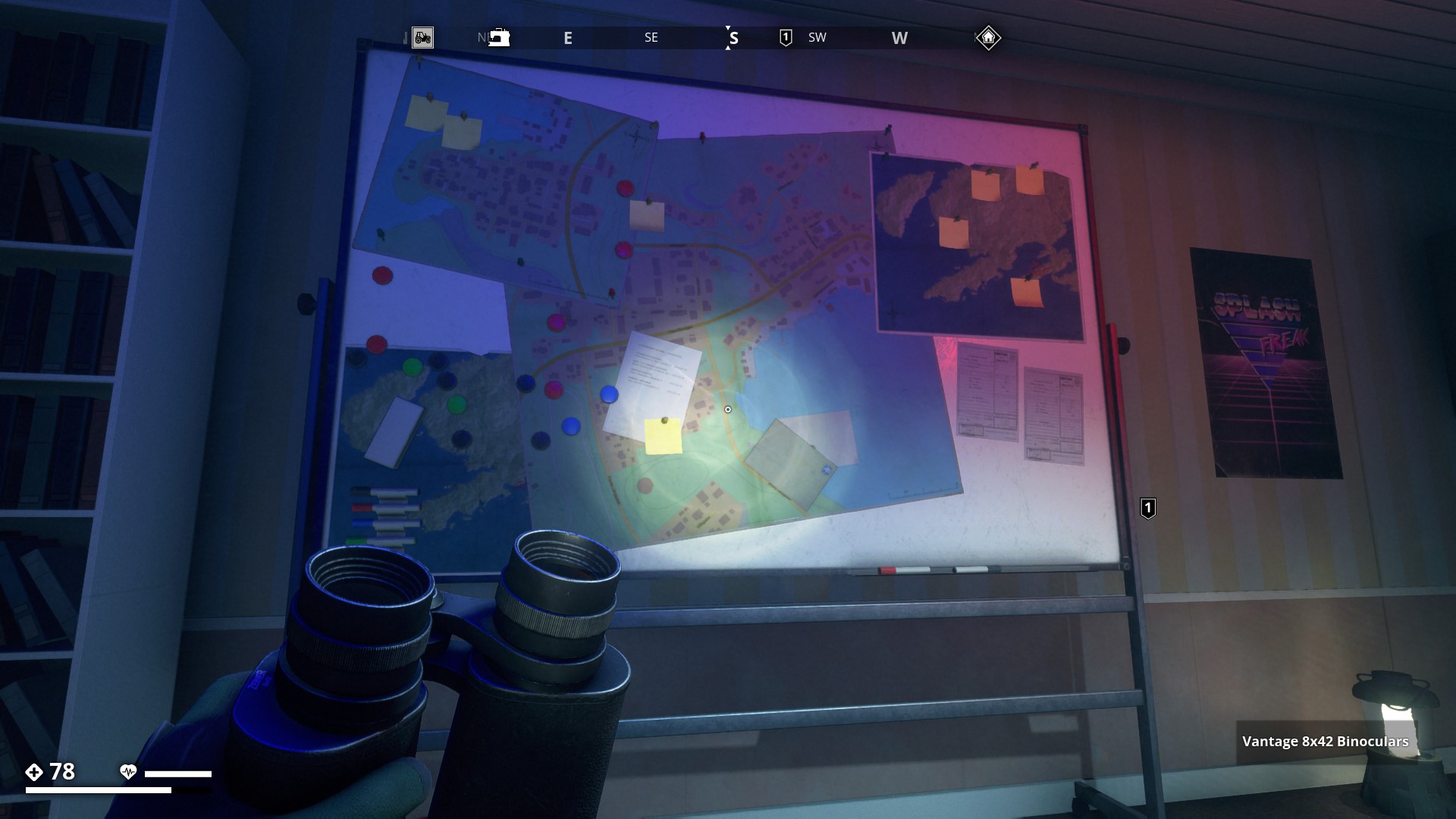
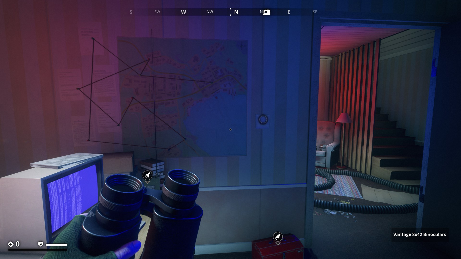
Resistance WarBoards and Action Walls
The Warboard at the Björntunet Hotel Resistance base on Himfjäll Island.
▼
The Warboard at Mullvadsberget Tunnels (Ring Fort).
▼
A Resistance Action Wall at Älgnäs garage, with six maps!
▼
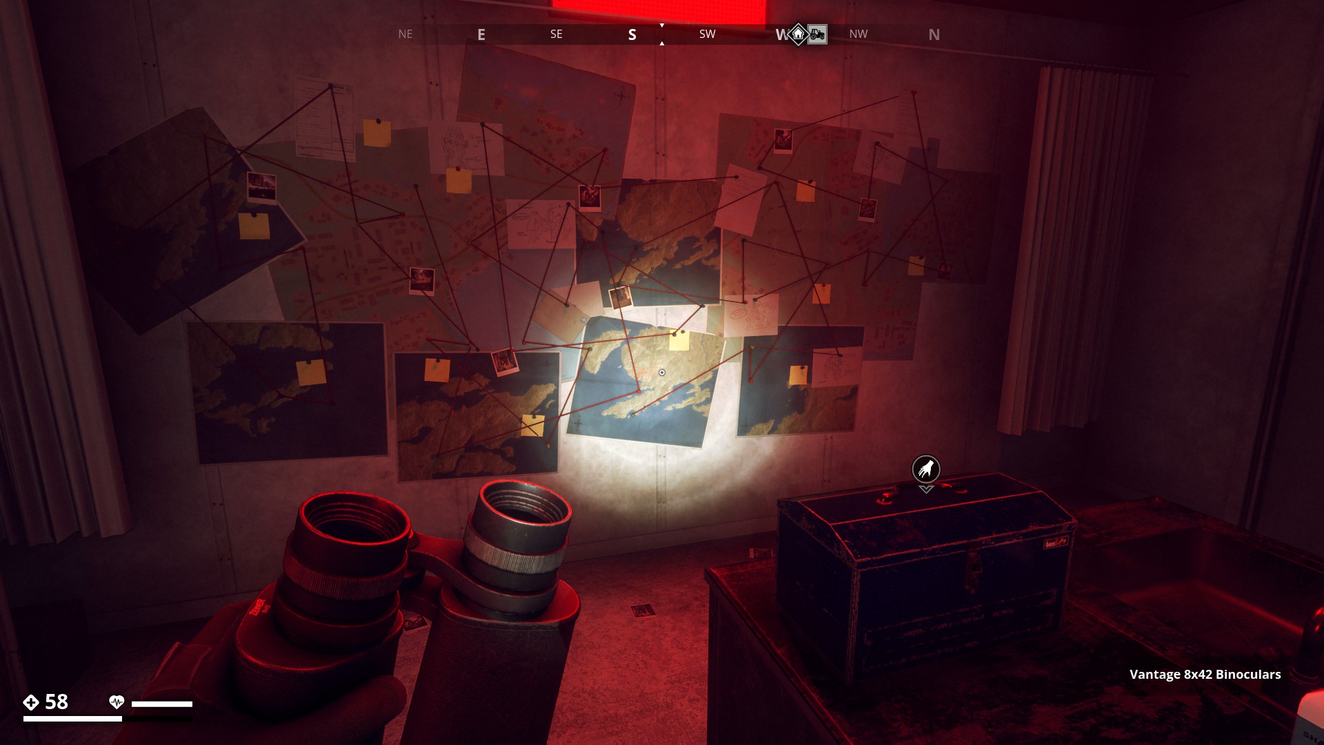
A Resistance Action Wall in Varuhuset in Gamla Stan. Can’t get in, doors are locked! But the map wall is the same as the one in Älgnäs garage, except that here one of Marja’s Resistance Newsletters is added.
▼
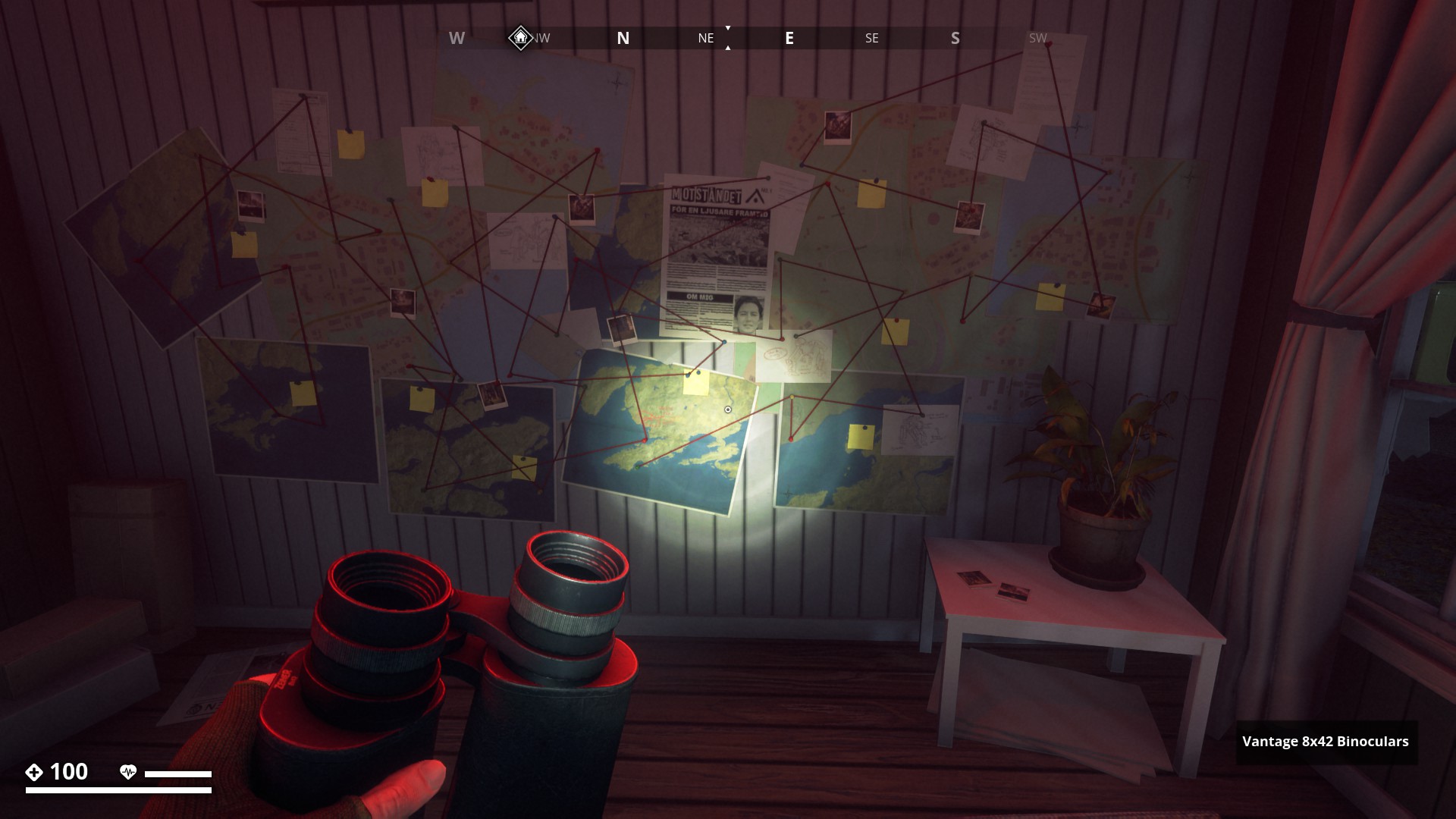
An Action- or WarBoard at Calle’s hide-out on Måsskär.
▼
An Action- or WarBoard at Överbytorp.
▼
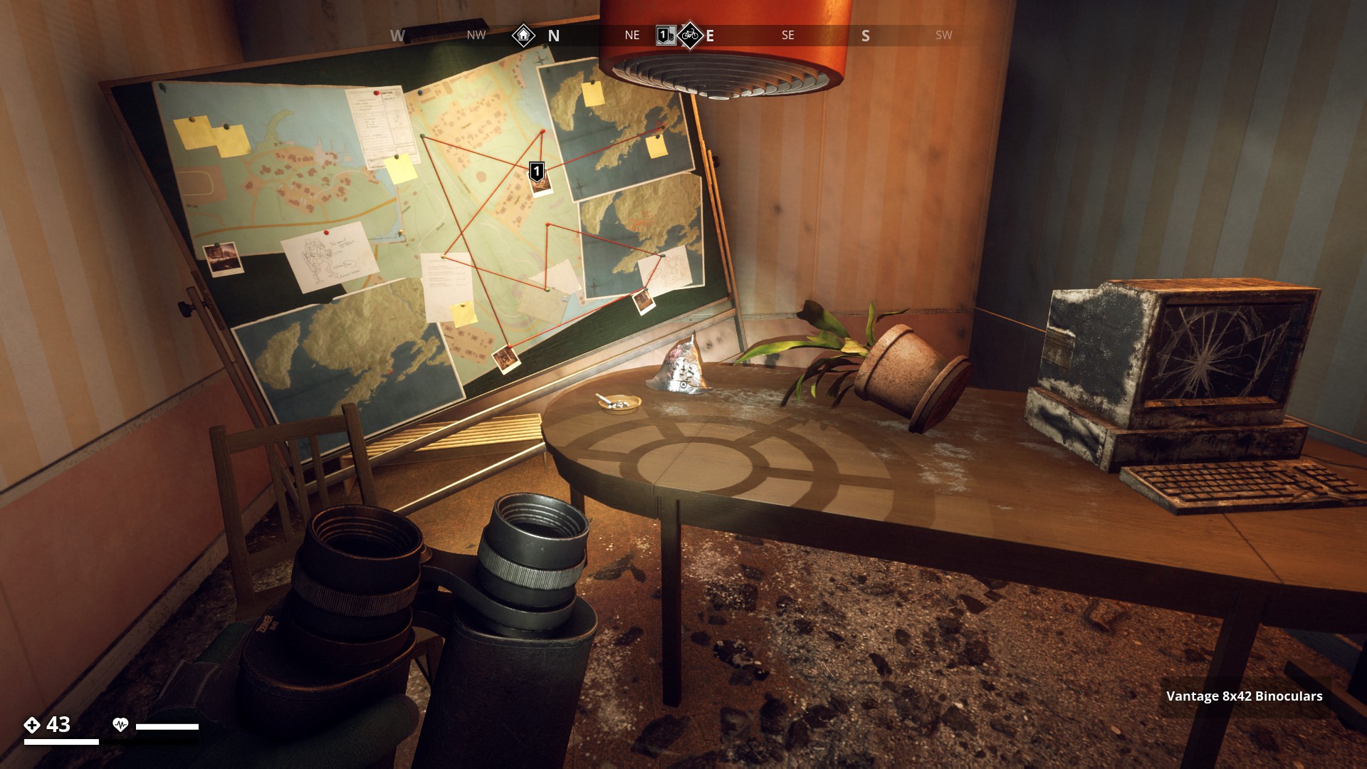
Command Bunker Warboards
![]()
Warboard at Hermelinen Command bunker in North Coast.
▼
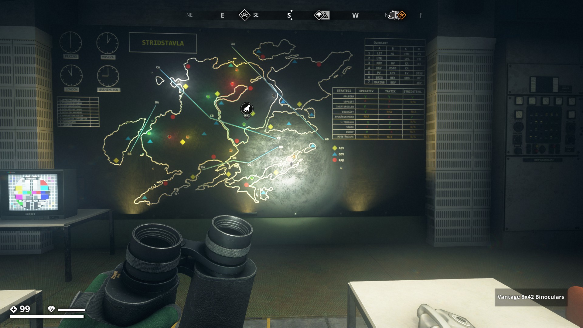
Warboard at Mården Command bunker in the Forest region.
▼
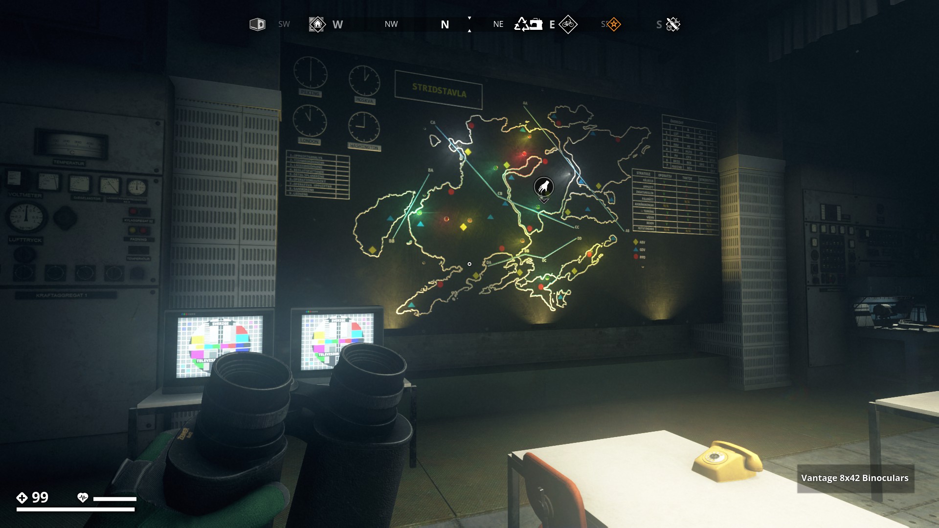
Warboard at Skvadern Command bunker in the Marshland Region.
▼

Warboard at Minken Command bunker in the South Coast.
▼
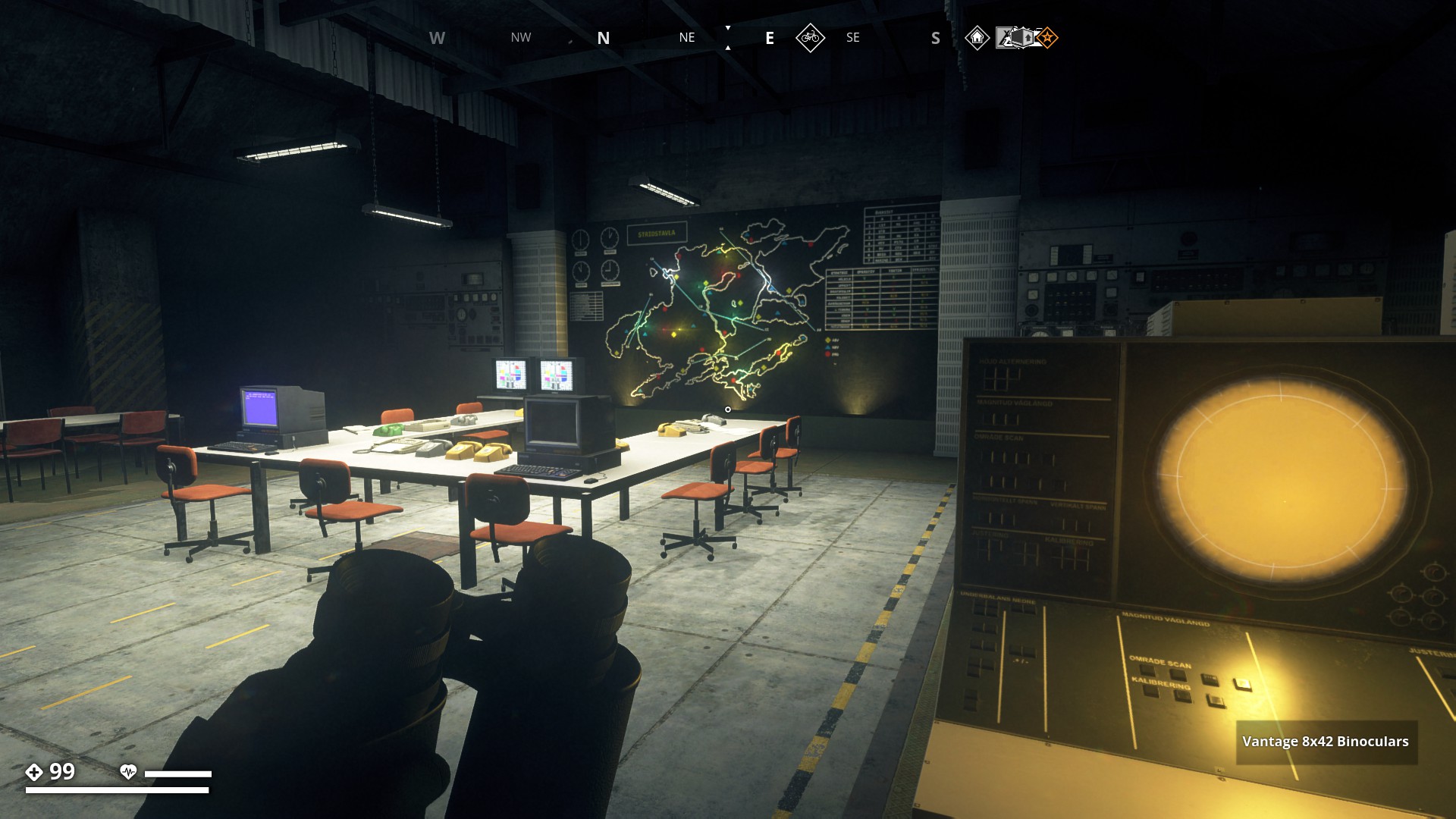
Warboard at Sorken Command bunker in the Farmland Region.
▼
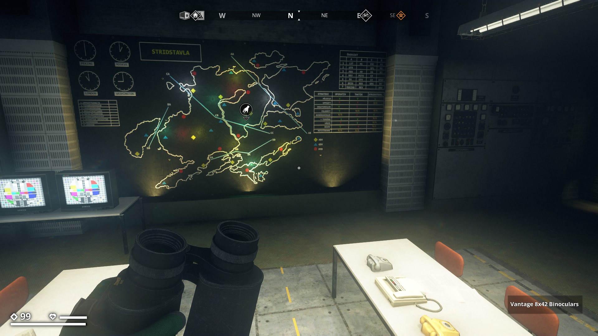
Warboard at Vesslan Command bunker in the Archipelago Region.
▼
Warboard at Uttern Command bunker in the Mountain Region.
▼

Warboard at FOA4 bunker (Bergfinken Research Facility) on Himfjäll Island.
▼
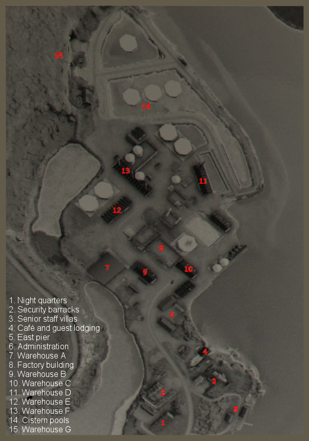
Info: The gas leak in the lower parts of FOA 4 is a remnant of the mission “The Hellmouth” and once completed the gas remains in there. The picture that I show here is from before the gas starts leaking (picture and info source Aesyle).
![]()
6 Likes
Dear Gysbert you did a huge masterwork collecting all these locations and creating the routes. I love this stuff and it gives the game another dimension. The only thing I regret is the absence of coordinates from these pictures and locations so we can with certain ease trace your routes. But I can imagine this would have been a lot more work. Respect!
1 Like
Thanks Ezekiel. I see your point about the coordinates. Initially I created these routes as photo routes to show what a beautiful world Östertörn is, and it wasn’t my intention for others to really run those routes. So I only noted coordinates of places that I would like to remember where they were. So of Power-lines, Trucks or Signs and such, I didn’t take the coordinates for.
With the last route “In-game Maps” I did add some name location or indication where these maps are located, so that people still have a sense of exploring while being pointed in the right direction, if they want to go there themselves.
Is there any specific route you like the coordinates for, like the “Caves Route” for instance. I can see that those are places people would like to visit.
1 Like
Indeed mate, especially the “cave locations” that i want to collect.  To make it easy you can put the coordinates in the specific pictures.
I will add them in the accompanying text next to each picture.
2 Likes
Thanks Gysbert,
found 2 errors i think in the South Coast caves :
- This cave I found on South coast region and is occupied by FNIX. 5415, 4410 … must be -5415, 4410
- Savered Cave in the South Coast region. 3028, 2055 … must be -3028, 2055
GOOD JOB!
2 Likes
Really nice these thanks 
3 Likes
Ah yes, I do tend to forget to type the minus sign sometimes.
2 Likes
Best stand corrected - she’s always right. Irritating girl…
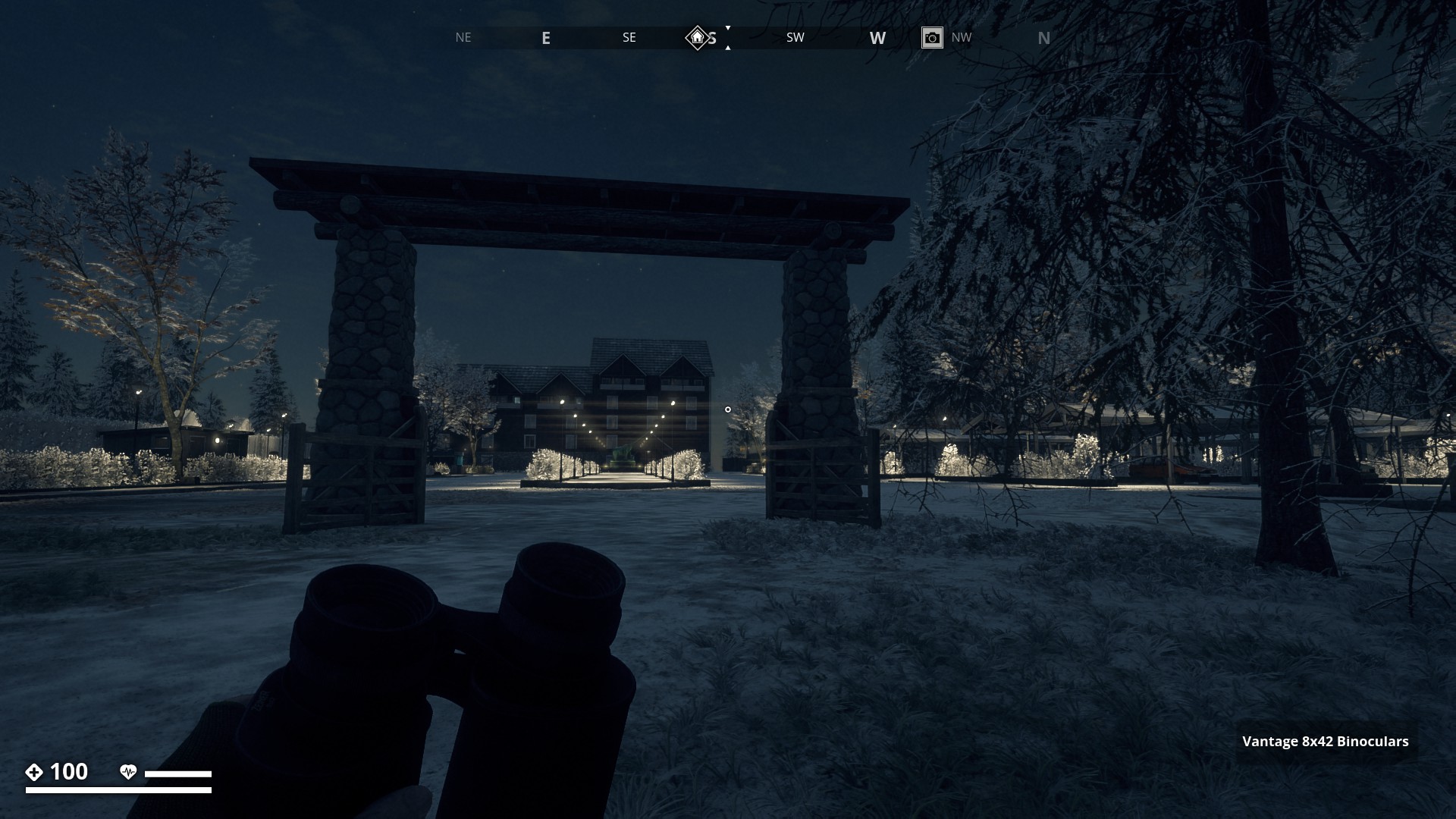
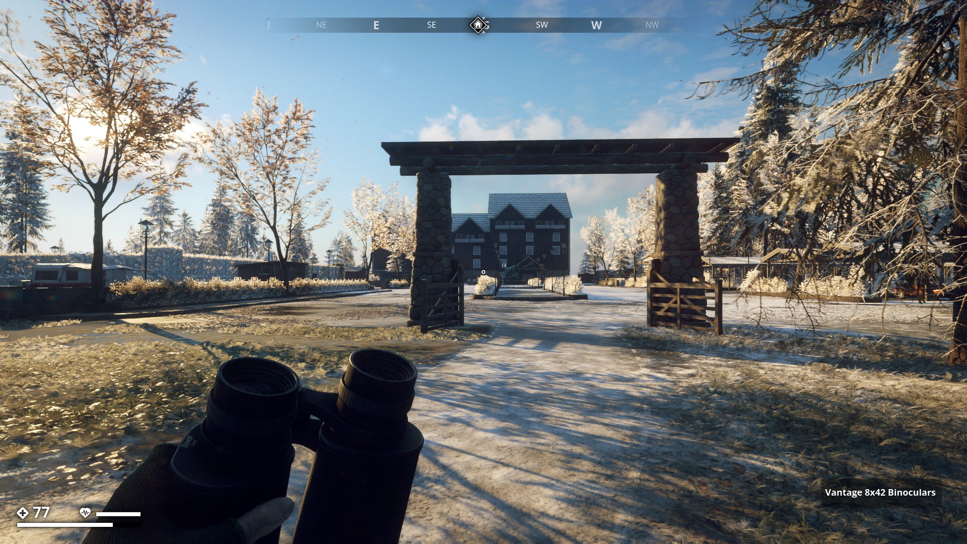
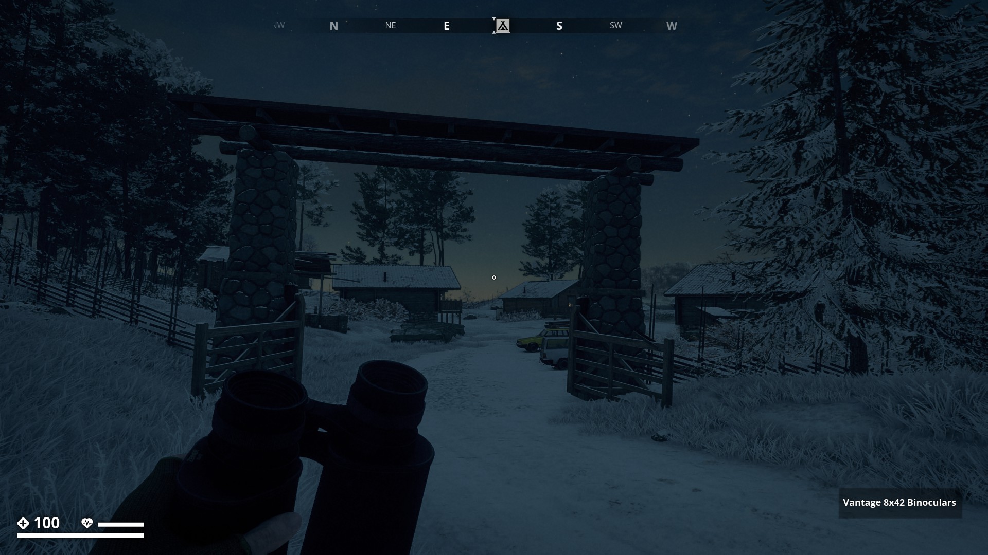
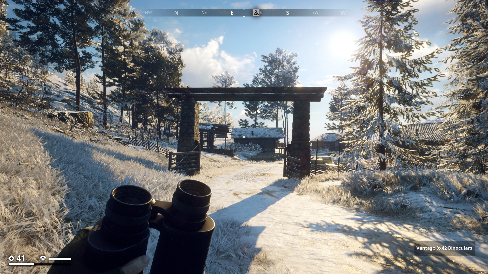
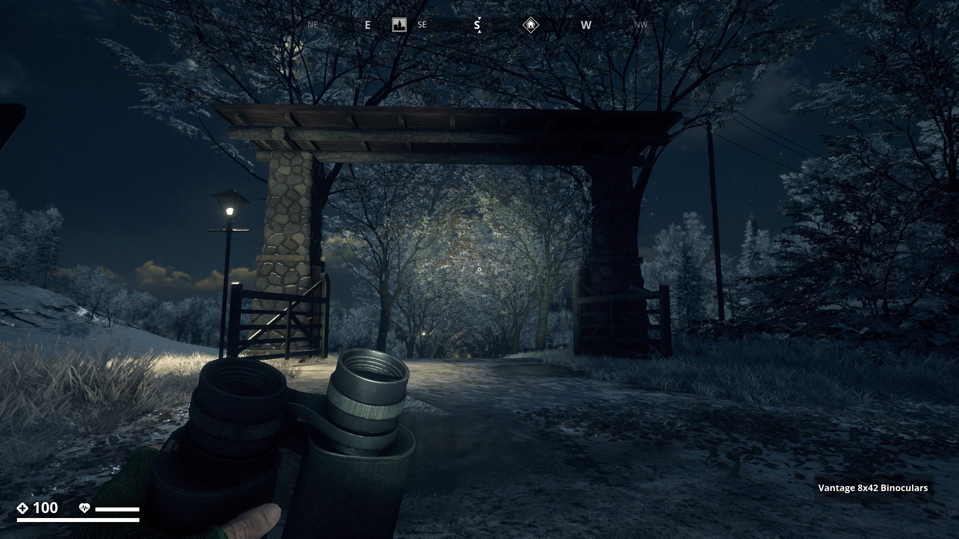
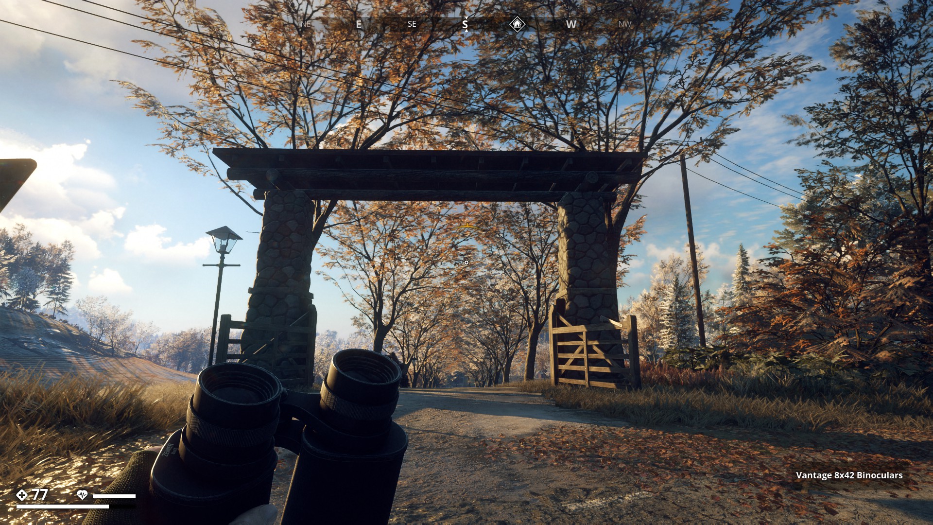
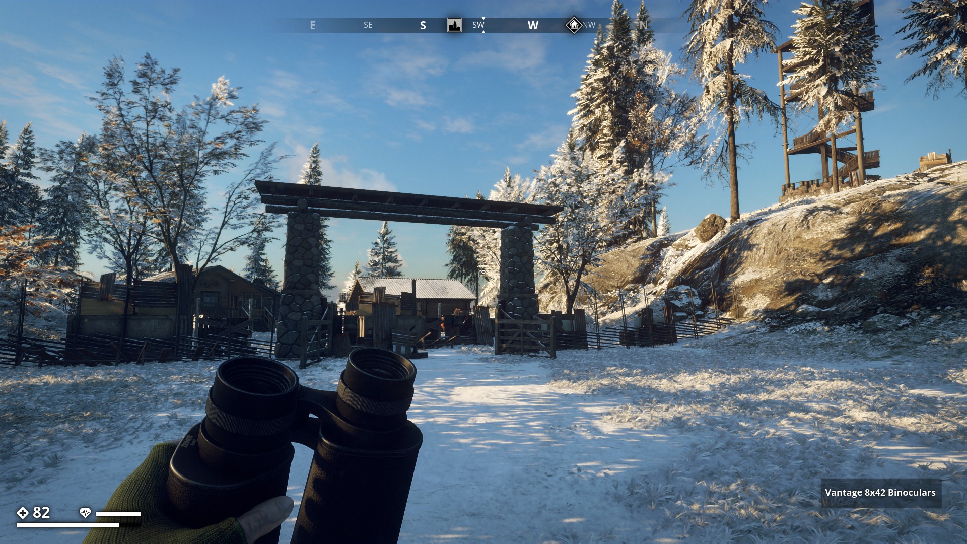
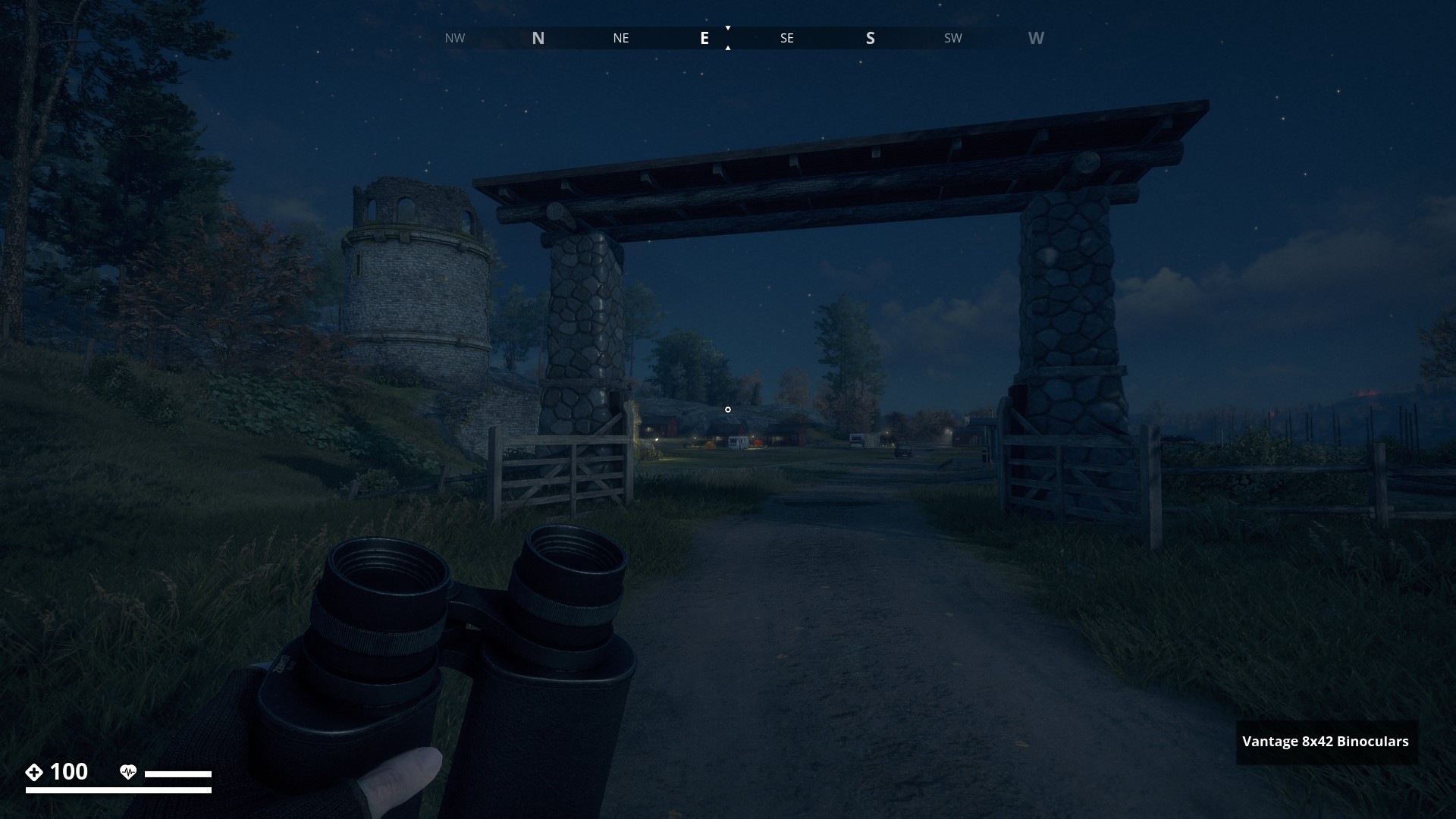
Route 18: Imposing Gates - Click here
Gate at Björntunet Hotel (at Night and Day)
▼
Gate at Bergahyttan Hunting Club (at Night and Day)
▼
Gate at Averholm Manor (at Night and Day)
▼
Gate at Ljuset Commune (at Night and Day)
▼

Gate at Balders Vall (at Night and Day)
▼
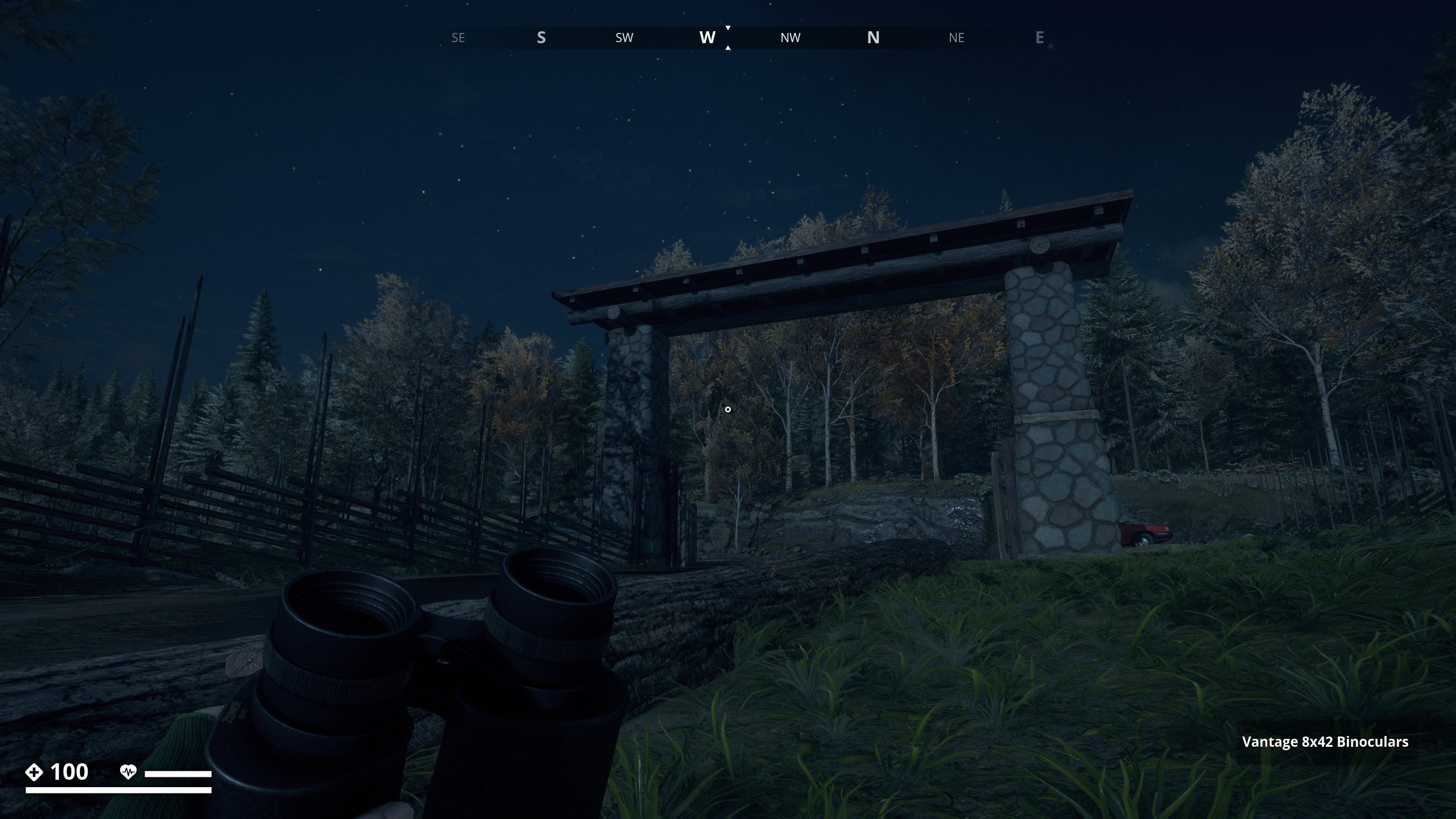

Gate near Storhögen Camping (has no name, Recon update) (at Night and Day)
▼

4 Likes